Lackford Green
Wood, Forest in Suffolk West Suffolk
England
Lackford Green
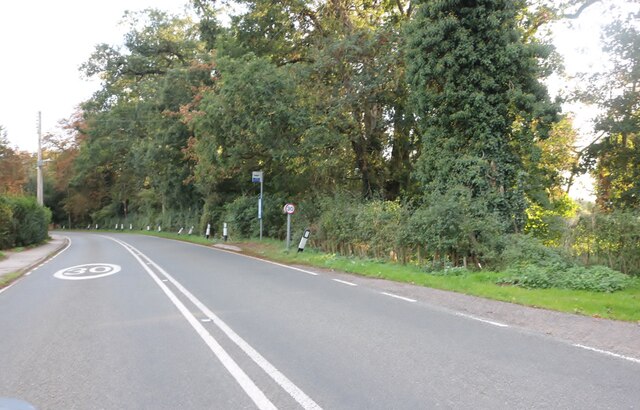
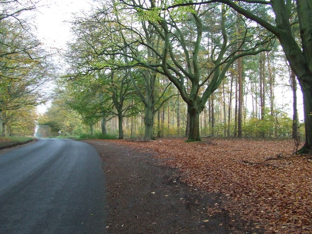
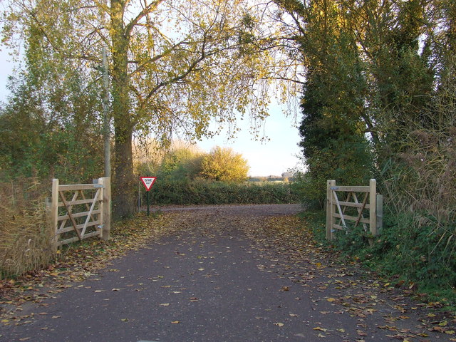
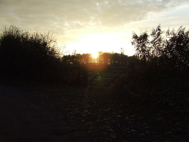
Lackford Green, located in Suffolk, England, is a picturesque woodland area known for its natural beauty and rich biodiversity. Covering an expansive area, this green oasis is a popular destination for nature enthusiasts and those seeking tranquility away from the hustle and bustle of city life.
The woodland is primarily composed of oak and birch trees, with patches of heather and gorse creating a vibrant tapestry of colors throughout the year. The forest floor is blanketed with a diverse array of wildflowers, including bluebells, primroses, and orchids, providing a stunning display during the spring and summer months.
Lackford Green is home to numerous animal species, making it a haven for wildlife enthusiasts and birdwatchers. Visitors may spot various species of birds, such as woodpeckers, kingfishers, and tawny owls, as well as mammals like deer, foxes, and badgers. The area's wetland habitats also attract a wide range of water-loving creatures, including ducks, swans, and herons.
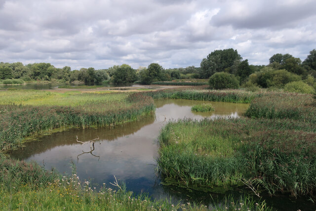
The green offers several well-maintained walking trails, allowing visitors to explore the area at their own pace. These paths wind through the woodland, offering panoramic views of the surrounding countryside and access to hidden gems such as Lackford Lakes, a series of interconnected lakes and wetlands teeming with wildlife.
Lackford Green truly is a nature lover's paradise, providing a peaceful retreat in the heart of Suffolk. Whether you're seeking a leisurely stroll, birdwatching opportunities, or simply a place to reconnect with nature, this woodland sanctuary offers something for everyone.
If you have any feedback on the listing, please let us know in the comments section below.
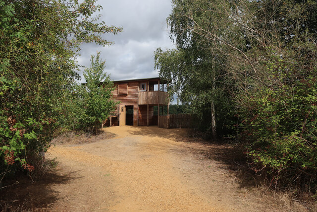
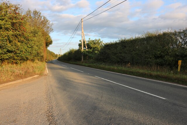
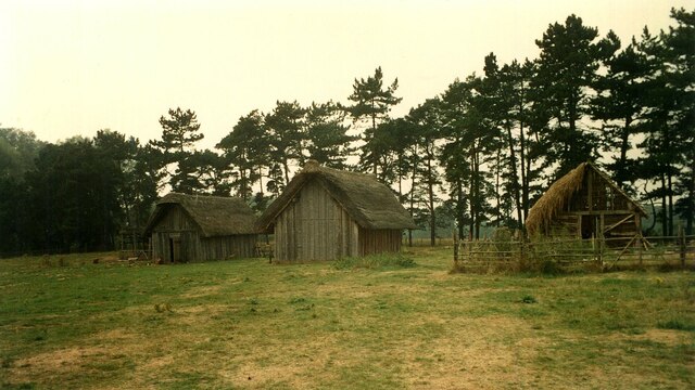
Lackford Green Images
Images are sourced within 2km of 52.305148/0.62210583 or Grid Reference TL7870. Thanks to Geograph Open Source API. All images are credited.
Lackford Green is located at Grid Ref: TL7870 (Lat: 52.305148, Lng: 0.62210583)
Administrative County: Suffolk
District: West Suffolk
Police Authority: Suffolk
What 3 Words
///revise.commuting.february. Near Bury St Edmunds, Suffolk
Nearby Locations
Related Wikis

Lackford
Lackford is a village and civil parish in the West Suffolk district of Suffolk in eastern England. Located around four miles north-west of Bury St Edmunds...

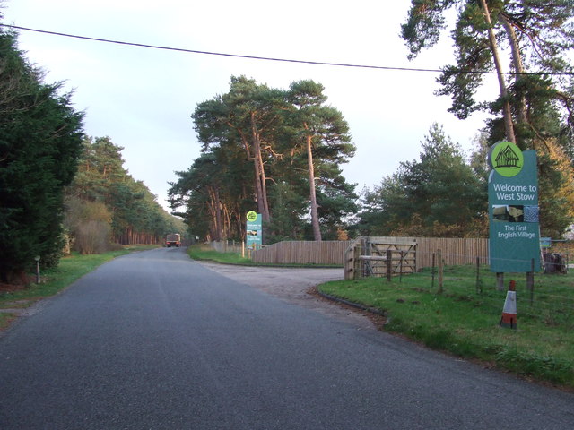
West Stow Heath
West Stow Heath is a 44.3-hectare (109-acre) biological Site of Special Scientific Interest west of West Stow in Suffolk. It is part of the Breckland Special...

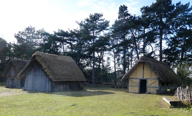
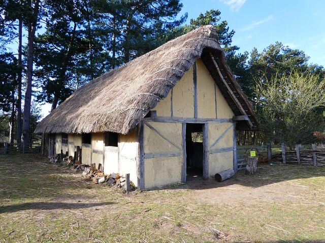
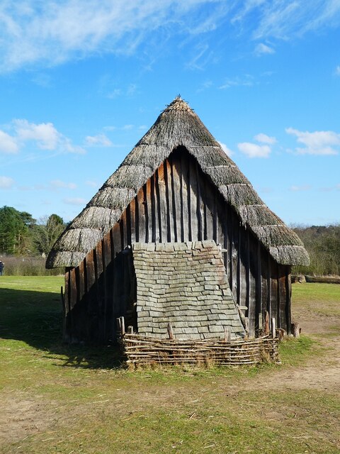
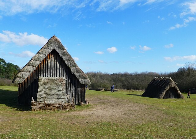
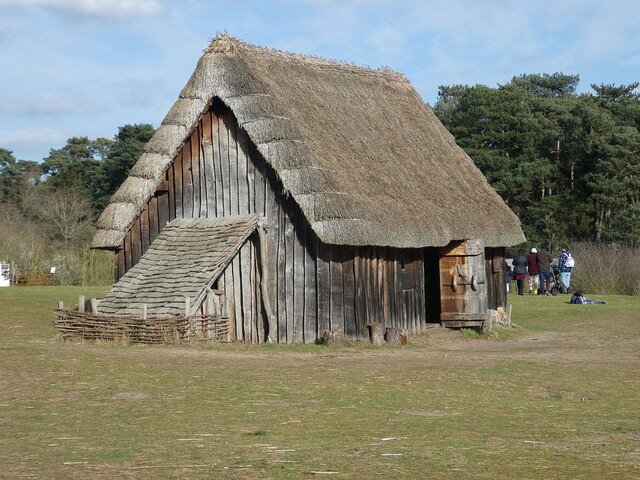
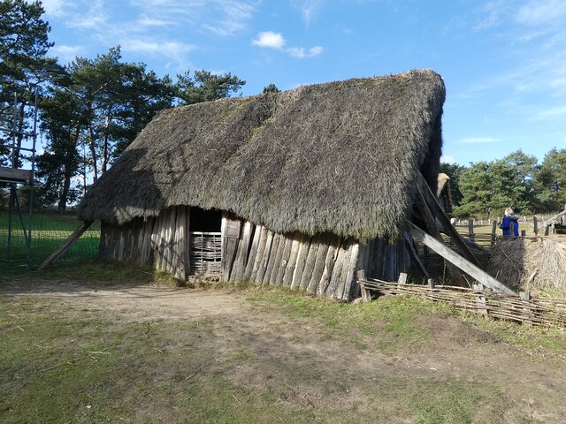
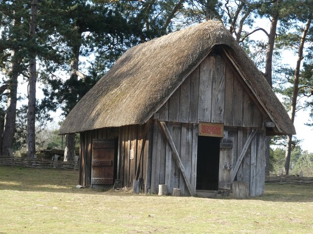
West Stow Anglo-Saxon Village
West Stow Anglo-Saxon Village is an archaeological site and an open-air museum located near to West Stow in Suffolk, eastern England. Evidence for intermittent...

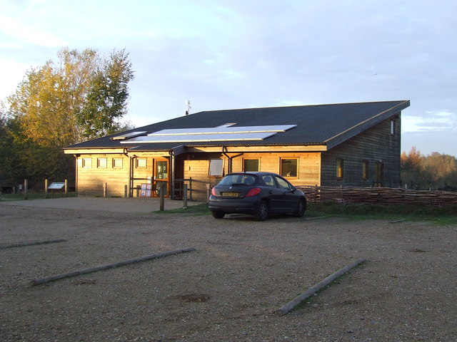
Lackford Lakes
Lackford Lakes is a 105.8-hectare (261-acre) biological Site of Special Scientific Interest (SSSI) north and east of Lackford in Suffolk. The SSSI is part...

Flempton
Flempton is a village and civil parish in the West Suffolk district of Suffolk, England. It is on the A1101 road 5 miles NW from Bury St Edmunds. Flempton...

Icklingham
Icklingham is a village and civil parish in the West Suffolk district of Suffolk in eastern England. It is located about 7 miles (11 km) north-west of...

Black Ditches, Cavenham
Black Ditches is an earthwork close to the village of Cavenham of Suffolk, and part of it is a biological Site of Special Scientific Interest (SSSI). The...
All Saints' Church, Icklingham
All Saints' Church is a redundant Anglican church in the village of Icklingham, Suffolk, England. It is recorded in the National Heritage List for England...
Nearby Amenities
Located within 500m of 52.305148,0.62210583Have you been to Lackford Green?
Leave your review of Lackford Green below (or comments, questions and feedback).