Clamps Heath
Downs, Moorland in Suffolk West Suffolk
England
Clamps Heath
Clamps Heath is a small village located in Suffolk, England. Situated in the county's Downs area, it is known for its picturesque landscapes and charming rural atmosphere. With a population of around 500 residents, it offers a tight-knit community feel, making it an ideal place for those seeking a peaceful and tranquil lifestyle.
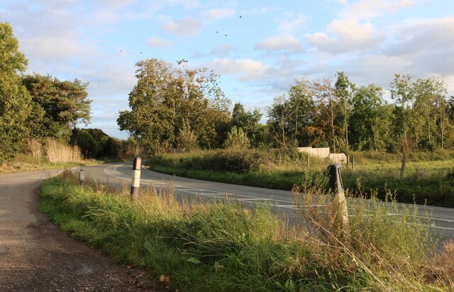
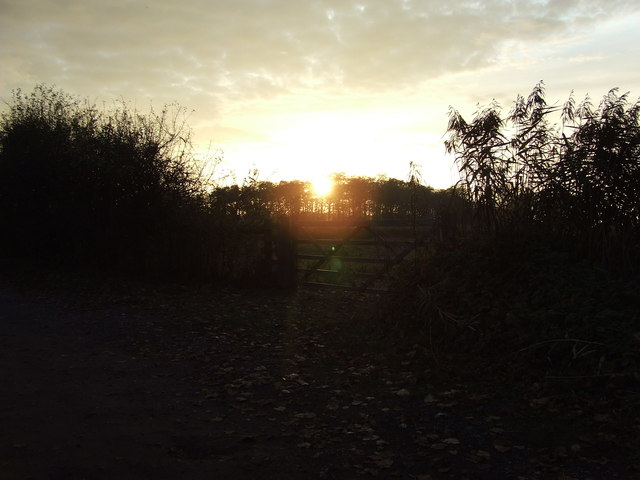
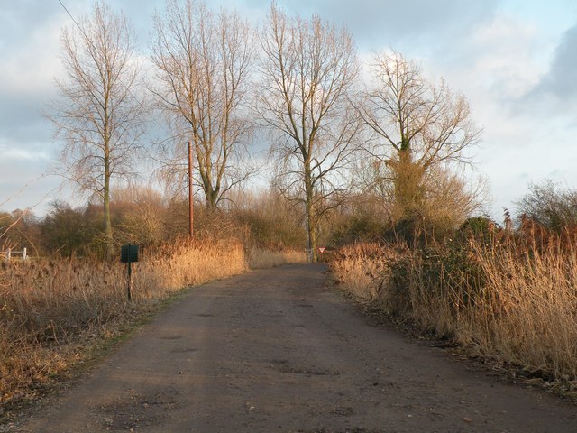
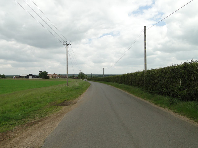
The village is surrounded by vast expanses of moorland, providing breathtaking views and ample opportunities for outdoor activities. The moorland in Clamps Heath is characterized by its rolling hills, heather-covered terrain, and rich biodiversity. It is a haven for birdwatchers, hikers, and nature enthusiasts, as it is home to numerous species of birds, including skylarks, lapwings, and curlews.
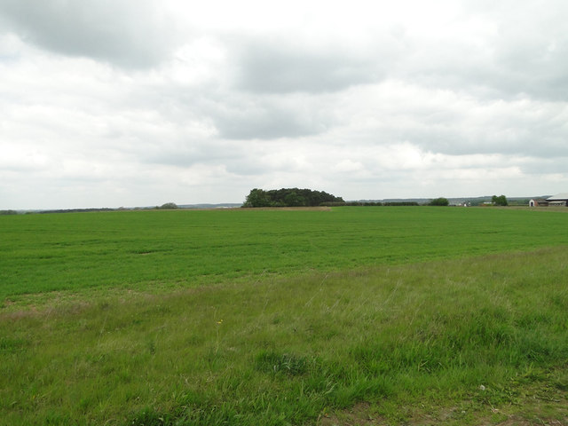
The Downs area of Clamps Heath is equally as stunning, with its lush green pastures and grazing livestock. The undulating landscape is dotted with traditional farmhouses and barns, showcasing the village's agricultural heritage. The fertile soil in this region makes it an excellent location for farming, and residents take great pride in their local produce, such as fresh vegetables, dairy products, and meats.
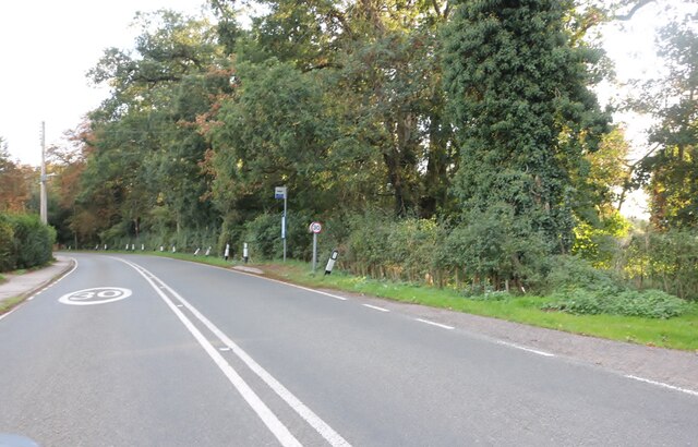
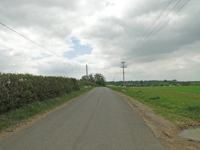
Despite its rural setting, Clamps Heath is well-connected to neighboring towns and cities. The village benefits from a reliable transportation network, with regular bus services and easy access to major roads. This allows residents to enjoy the tranquil countryside while still having convenient access to amenities and employment opportunities in nearby urban centers.
In conclusion, Clamps Heath in Suffolk offers a charming countryside retreat with its stunning moorland and downs landscapes. Its close-knit community and idyllic setting make it a desirable place to reside for those seeking a peaceful and picturesque lifestyle.
If you have any feedback on the listing, please let us know in the comments section below.
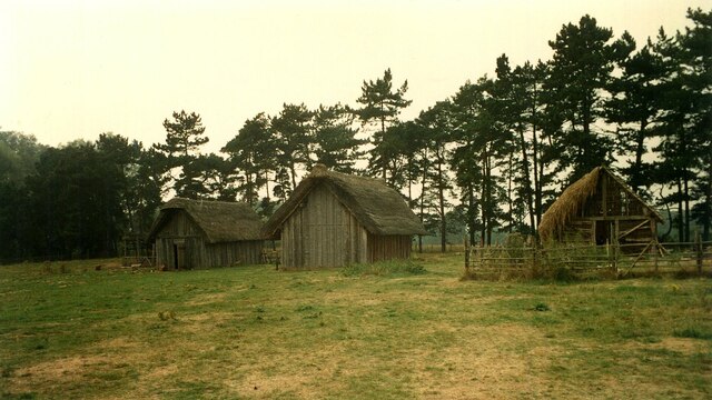
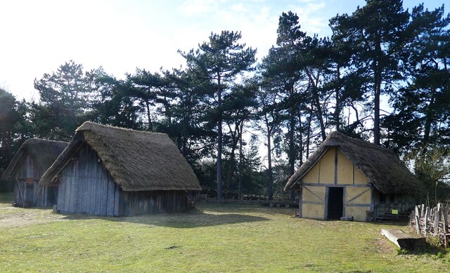
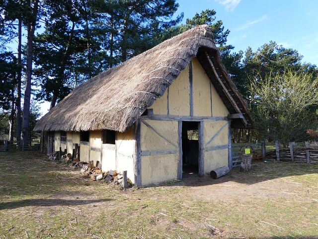
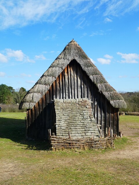
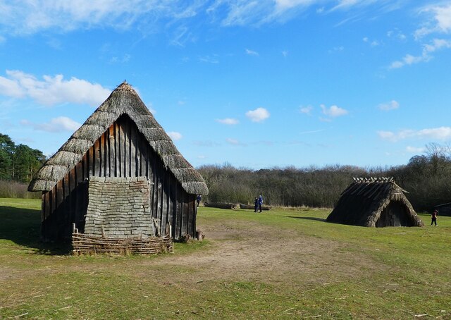
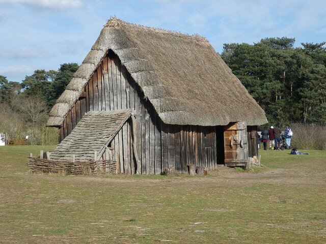
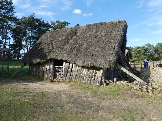
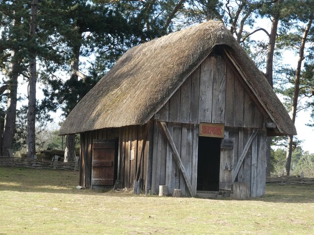
Clamps Heath Images
Images are sourced within 2km of 52.304298/0.61055462 or Grid Reference TL7870. Thanks to Geograph Open Source API. All images are credited.

Clamps Heath is located at Grid Ref: TL7870 (Lat: 52.304298, Lng: 0.61055462)
Administrative County: Suffolk
District: West Suffolk
Police Authority: Suffolk
What 3 Words
///inflation.typical.stops. Near Mildenhall, Suffolk
Nearby Locations
Related Wikis

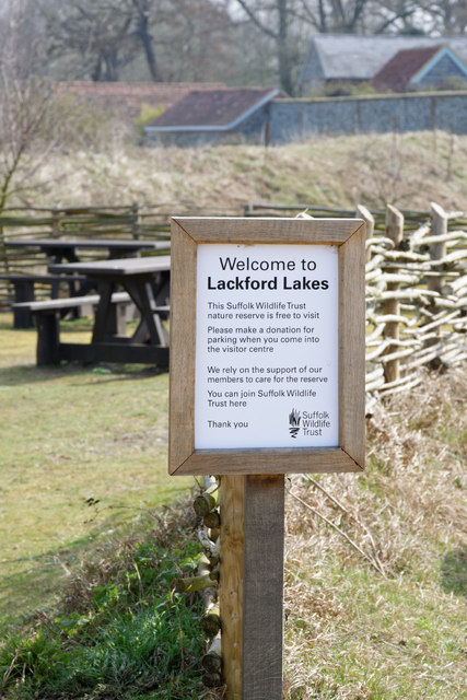
Lackford
Lackford is a village and civil parish in the West Suffolk district of Suffolk in eastern England. Located around four miles north-west of Bury St Edmunds...

West Stow Heath
West Stow Heath is a 44.3-hectare (109-acre) biological Site of Special Scientific Interest west of West Stow in Suffolk. It is part of the Breckland Special...

Icklingham
Icklingham is a village and civil parish in the West Suffolk district of Suffolk in eastern England. It is located about 7 miles (11 km) north-west of...

Black Ditches, Cavenham
Black Ditches is an earthwork close to the village of Cavenham of Suffolk, and part of it is a biological Site of Special Scientific Interest (SSSI). The...
Nearby Amenities
Located within 500m of 52.304298,0.61055462Have you been to Clamps Heath?
Leave your review of Clamps Heath below (or comments, questions and feedback).