Clarksfield
Settlement in Lancashire
England
Clarksfield
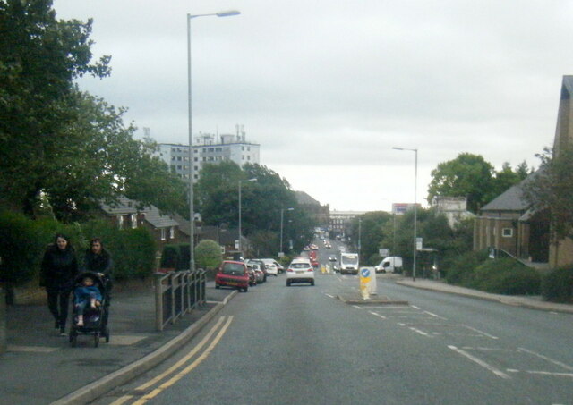
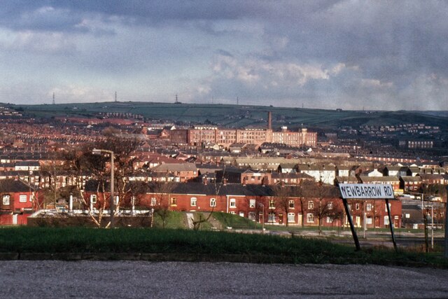
Clarksfield is a small residential area located in the town of Oldham, within the county of Lancashire, England. It is situated approximately 3 miles northeast of Oldham town center. The area is part of the larger Clarksfield ward, which also encompasses neighborhoods such as Bardsley and Greenacres.
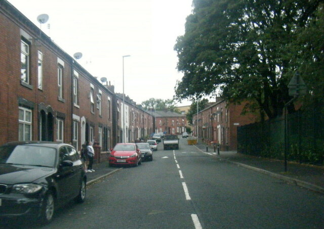
Clarksfield is primarily a residential community, characterized by a mix of housing types including terraced houses, semi-detached properties, and some larger detached homes. The area has a diverse population, with a significant proportion of residents coming from South Asian backgrounds, particularly of Pakistani and Bangladeshi heritage.
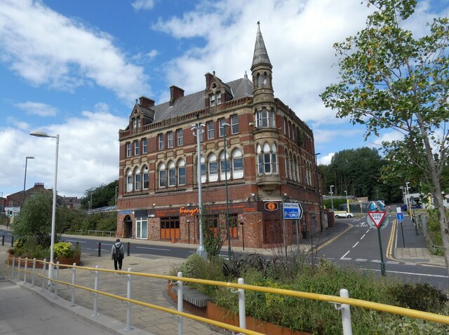
The community benefits from several local amenities, including small convenience stores, takeaways, and local businesses. For a wider range of shopping options, residents can easily access Oldham town center, which offers a variety of retail outlets, supermarkets, and entertainment facilities.
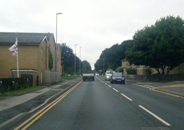
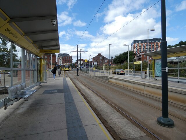
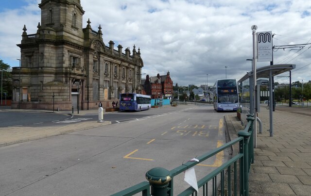
Clarksfield is well-connected to the rest of Oldham and surrounding areas by public transportation, with regular bus services operating in the vicinity. The nearest train station, Oldham Mumps, is located approximately 2 miles away, providing access to Manchester and other nearby towns.
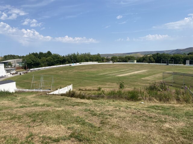
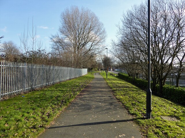
The area is also home to several green spaces and parks, providing residents with opportunities for outdoor recreation and leisure activities. Nearby attractions include Alexandra Park, with its beautifully landscaped gardens and lake, offering a peaceful retreat from the urban environment.
Overall, Clarksfield offers a close-knit community atmosphere, diverse cultural heritage, and convenient access to amenities, making it an attractive place to live within the Oldham area.
If you have any feedback on the listing, please let us know in the comments section below.
Clarksfield Images
Images are sourced within 2km of 53.541628/-2.0891581 or Grid Reference SD9405. Thanks to Geograph Open Source API. All images are credited.


Clarksfield is located at Grid Ref: SD9405 (Lat: 53.541628, Lng: -2.0891581)
Unitary Authority: Oldham
Police Authority: Greater Manchester
What 3 Words
///bills.gladiators.pace. Near Oldham, Manchester
Nearby Locations
Related Wikis

Asa Lees
Asa Lees was a firm of textile machine manufacturers in Oldham, Lancashire. Their headquarters was the Soho Iron Works, Greenacres. It was second only...
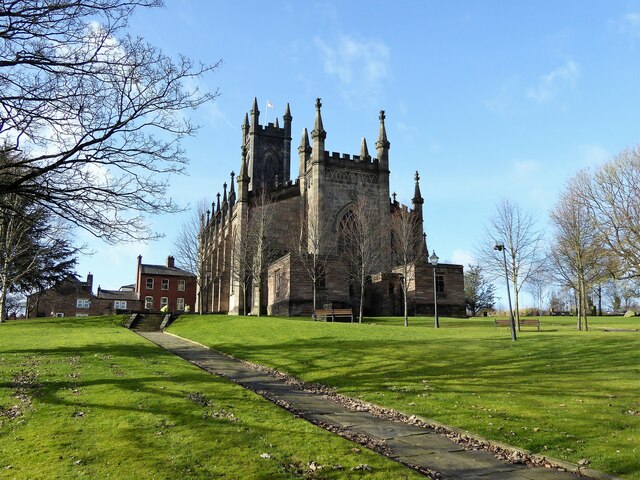
Salem Moravian Church
Salem Moravian Church was founded in Oldham, Lancashire, England in 1825 by John Lees. Br Lees, who lived in the Clarksfield area of Oldham, was associated...
Oldham Glodwick Road railway station
Oldham Glodwick Road railway station opened on 1 November 1862 when the London and North Western Railway (L&NWR) revised the termination of the branch...
Glodwick
Glodwick is an area of Oldham, Greater Manchester, England. It is south-east of Oldham town centre. Glodwick is a multi-ethnic residential area in the...
Nearby Amenities
Located within 500m of 53.541628,-2.0891581Have you been to Clarksfield?
Leave your review of Clarksfield below (or comments, questions and feedback).