Greenacres

Settlement in Lancashire

England

Greenacres

A672 Ripponden Road at Collett Street
A672 Ripponden Road at Collett Street Credit: Colin Pyle

Greenacres is a small village located in the county of Lancashire, in the North West of England. Situated approximately 3 miles southeast of the town of Burnley, Greenacres is surrounded by picturesque countryside and is known for its tranquil and idyllic setting.

The village itself is relatively small, with a population of around 1,500 residents. It is primarily a residential area, with a mix of traditional stone-built cottages and more modern housing developments. The local community is close-knit and friendly, with various community events and activities organized throughout the year.

Greenacres benefits from its proximity to the nearby town of Burnley, which provides residents with access to a wide range of amenities and services. These include shops, supermarkets, schools, healthcare facilities, and recreational opportunities. The village also has its own primary school, providing education for the local children.

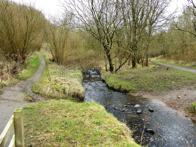
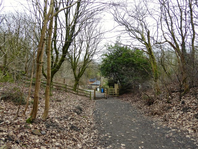
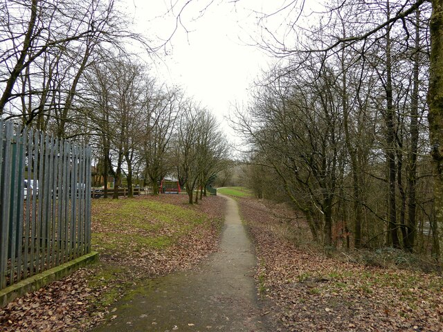
Nature enthusiasts and outdoor lovers will find plenty to enjoy in Greenacres. The surrounding countryside offers beautiful walking trails and cycling routes, allowing residents to explore the stunning landscapes and enjoy the fresh air. Additionally, there are several parks and green spaces within the village itself, providing opportunities for relaxation and recreation.

Overall, Greenacres is a charming and peaceful village that offers a close-knit community, beautiful surroundings, and convenient access to nearby amenities. It is an ideal location for those seeking a quieter lifestyle while still being within easy reach of larger towns and cities.

If you have any feedback on the listing, please let us know in the comments section below.
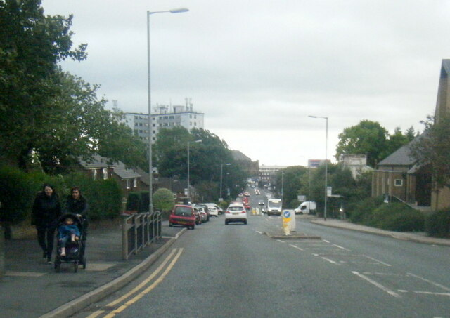
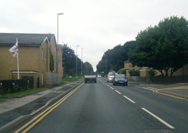
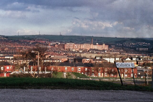
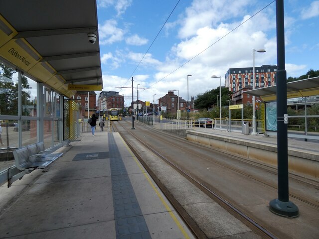
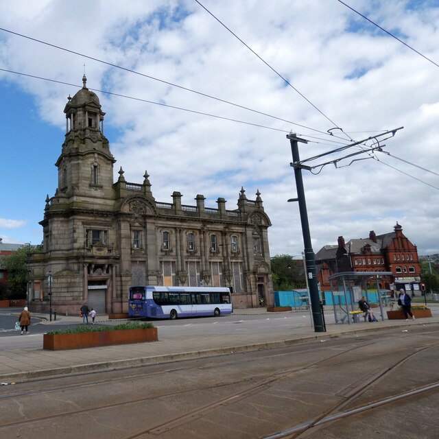
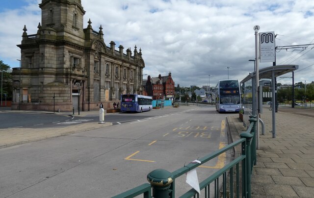
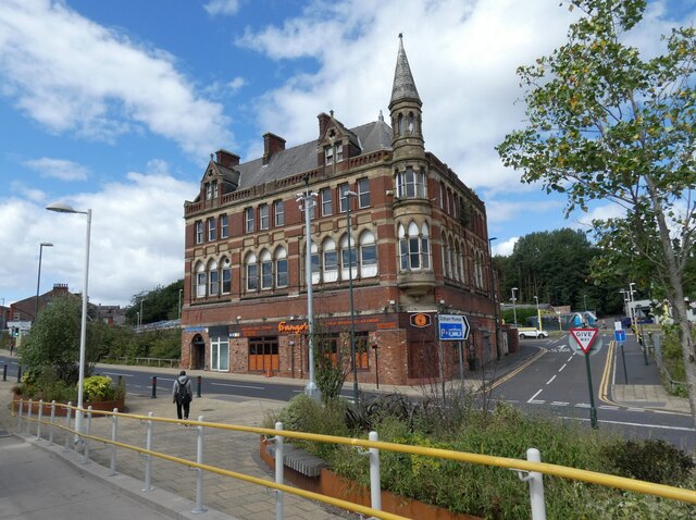
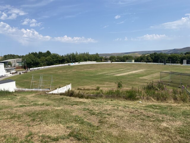
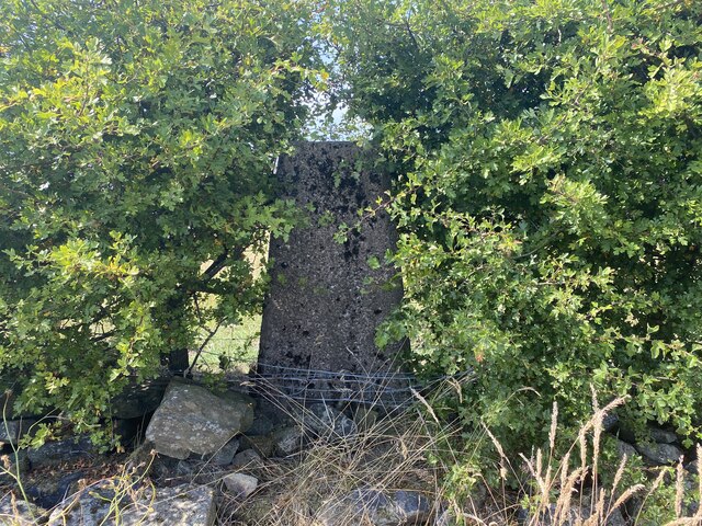
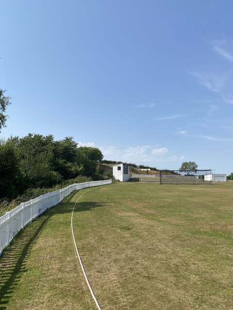
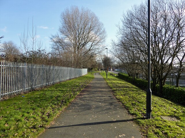
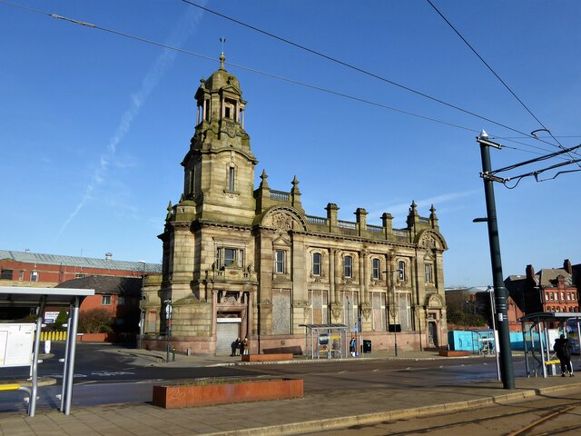
Greenacres Images

Images are sourced within 2km of 53.543407/-2.080703 or Grid Reference SD9405. Thanks to Geograph Open Source API. All images are credited.

A672 Ripponden Road at Collett Street
Egerton Street at Bridgewater Street, Mumps
Derker Mills, Oldham
Oldham Mumps Tram Stop 
A railway line from Manchester to Oldham was opened in 1847. In 1863 the line was extended to Rochdale. Railway operations ended on 3 October 2009, and the Oldham Loop Line was closed for conversion to Matrolink. The line was completely rebuilt, with all of the former infrastructure, including the former stations and station buildings demolished, and replaced, and overhead wiring added. The line was re-opened in phases: Tram services started on 13 June 2012 between Manchester and Oldham Mumps: As a temporary measure, until the town centre line was completed, the former railway line through Oldham Mumps was retained, and a temporary tram stop constructed in place of the former railway station. A permanent stop called Oldham Mumps was later opened on the town centre line in a different location. Services were extended to Shaw and Crompton on 16 December 2012, and to Rochdale Railway Station on 28 February 2013. The Oldham town centre line opened on 27 January 2014, allowing the section of former railway line, and temporary stop at Oldham Mumps to be permanently closed. The Rochdale town centre line opened on 31 March 2014.
Oldham Mumps Tram Stop
A railway line from Manchester to Oldham was opened in 1847. In 1863 the line was extended to Rochdale. Railway operations ended on 3 October 2009, and the Oldham Loop Line was closed for conversion to Matrolink. The line was completely rebuilt, with all of the former infrastructure, including the former stations and station buildings demolished, and replaced, and overhead wiring added. The line was re-opened in phases: Tram services started on 13 June 2012 between Manchester and Oldham Mumps: As a temporary measure, until the town centre line was completed, the former railway line through Oldham Mumps was retained, and a temporary tram stop constructed in place of the former railway station. A permanent stop called Oldham Mumps was later opened on the town centre line in a different location. Services were extended to Shaw and Crompton on 16 December 2012, and to Rochdale Railway Station on 28 February 2013. The Oldham town centre line opened on 27 January 2014, allowing the section of former railway line, and temporary stop at Oldham Mumps to be permanently closed. The Rochdale town centre line opened on 31 March 2014.
Former NatWest bank 
The Grade II listed former bank <span class="nowrap"><a title="https://historicengland.org.uk/listing/the-list/list-entry/1201682?section=official-list-entry" rel="nofollow ugc noopener" href="https://historicengland.org.uk/listing/the-list/list-entry/1201682?section=official-list-entry">Link</a><img style="margin-left:2px;" alt="External link" title="External link - shift click to open in new window" src="https://s1.geograph.org.uk/img/external.png" width="10" height="10"/></span> at Mumps dates from 1902. The bank, originally the Manchester and County, was created by renowned Manchester architects Mills & Murgatroyd. It featured a unique baroque copper-crowned tower and a polished red granite base. Inside, the banking hall housed a 50ft mahogany counter. The bank was taken over by NatWest in 1970. In 1995 it was closed when NatWest merged their Mumps and Yorkshire Street branches. It was put on the market for £170,000. Plans the following year to turn the building into a pub fell through. Several later refurbishment plans have also failed. The building is a focal point within the bus/metrolink tram interchange.
Former NatWest bank
The Grade II listed former bank LinkExternal link at Mumps dates from 1902. The bank, originally the Manchester and County, was created by renowned Manchester architects Mills & Murgatroyd. It featured a unique baroque copper-crowned tower and a polished red granite base. Inside, the banking hall housed a 50ft mahogany counter. The bank was taken over by NatWest in 1970. In 1995 it was closed when NatWest merged their Mumps and Yorkshire Street branches. It was put on the market for £170,000. Plans the following year to turn the building into a pub fell through. Several later refurbishment plans have also failed. The building is a focal point within the bus/metrolink tram interchange.
Mumps transport interchange 
Next to the Metrolink tram stop at Mumps are several bus stops. On the left is  the Grade II listed former NatWest bank <span class="nowrap"><a title="https://historicengland.org.uk/listing/the-list/list-entry/1201682?section=official-list-entry" rel="nofollow ugc noopener" href="https://historicengland.org.uk/listing/the-list/list-entry/1201682?section=official-list-entry">Link</a><img style="margin-left:2px;" alt="External link" title="External link - shift click to open in new window" src="https://s1.geograph.org.uk/img/external.png" width="10" height="10"/></span> <a href="https://www.geograph.org.uk/photo/7263233">SD9305 : Former NatWest bank</a>.
Mumps transport interchange
Next to the Metrolink tram stop at Mumps are several bus stops. On the left is the Grade II listed former NatWest bank LinkExternal link SD9305 : Former NatWest bank.
17-21 Mumps 
Only the ground floor of this three storey building are currently occupied. Before becoming Frango's this was Fusion 21. Before that the right hand portion had been Kava and the left hand portion  the site office for Westshield. Before Westshield that part had been The Hair Lounge. Around 2012 the right hand side was called  Langham House. In 2009 the building was home to a photography studio Xpressions. All the adjoining buildings towards Yorkshire Street were demolished around 2016. There are plans to convert the upper storeys into apartments.
17-21 Mumps
Only the ground floor of this three storey building are currently occupied. Before becoming Frango's this was Fusion 21. Before that the right hand portion had been Kava and the left hand portion the site office for Westshield. Before Westshield that part had been The Hair Lounge. Around 2012 the right hand side was called Langham House. In 2009 the building was home to a photography studio Xpressions. All the adjoining buildings towards Yorkshire Street were demolished around 2016. There are plans to convert the upper storeys into apartments.
Cricket Pitch
Cricket Pitch
Slack Hall Trig Point Flush Bracket S2785
Cricket Pitch
Cricket Pitch
Cycle path following route of former railway The path goes from Oldham to Grotton following the Oldham to Greenfield railway line. Much of the route is on infill such as here looking east from Glodwick Road, Oldham
Cycle path following route of former railway
The path goes from Oldham to Grotton following the Oldham to Greenfield railway line. Much of the route is on infill such as here looking east from Glodwick Road, Oldham
Cycle route following line of former railway This view across Cranbrook Street just off the path shows the route is on the top of infill, since only the bridge parapet is visible of the former railway bridge. The path is on the  former Oldham to Greenfield line.
Cycle route following line of former railway
This view across Cranbrook Street just off the path shows the route is on the top of infill, since only the bridge parapet is visible of the former railway bridge. The path is on the former Oldham to Greenfield line.
Cycle path following route of former railway The path is approaching the former railway bridge at St. John Street which is one of the few not infilled on the route. The path runs from Oldham to Grotton along the former line to Greenfield.
Cycle path following route of former railway
The path is approaching the former railway bridge at St. John Street which is one of the few not infilled on the route. The path runs from Oldham to Grotton along the former line to Greenfield.
Former Bank A listed building at Mumps
Former Bank
A listed building at Mumps
River Medlock at Lees View on the Medlock Valley Way from a footbridge
River Medlock at Lees
View on the Medlock Valley Way from a footbridge
The end of the cycle path View towards Old Mill Lane at Grotton. The cycle path has followed the route of the former Oldham to Greenfield railway but deviates here to join Old Mill Lane.
The end of the cycle path
View towards Old Mill Lane at Grotton. The cycle path has followed the route of the former Oldham to Greenfield railway but deviates here to join Old Mill Lane.
Route of former railway at Grotton View from the former Grotton Station towards Lees on the Greenfield to Oldham railway route. A cycle path exists on the Grotton to Oldham portion of the route.
Route of former railway at Grotton
View from the former Grotton Station towards Lees on the Greenfield to Oldham railway route. A cycle path exists on the Grotton to Oldham portion of the route.
Steps on the Medlock Trail Steps down from the Abbey Hills Road embankment to the River Medlock
Steps on the Medlock Trail
Steps down from the Abbey Hills Road embankment to the River Medlock
Show me another place!

Greenacres is located at Grid Ref: SD9405 (Lat: 53.543407, Lng: -2.080703)

Unitary Authority: Oldham

Police Authority: Greater Manchester

What 3 Words

///record.radio.stacks. Near Oldham, Manchester

Related Wikis

Greenacres, Greater Manchester

Greenacres , archaically Greenacres Moor, is an area of Oldham, in Greater Manchester, England. It lies on the west side of the River Medlock opposite...

Waterhead, Greater Manchester

Waterhead (or archaically, Waterhead Mill), is an area of Oldham, and an electoral ward of the Metropolitan Borough of Oldham, in Greater Manchester, England...

Salem Moravian Church

Salem Moravian Church was founded in Oldham, Lancashire, England in 1825 by John Lees. Br Lees, who lived in the Clarksfield area of Oldham, was associated...

Orme Mill, Waterhead

Orme Mill, Waterhead is a cotton spinning mill in Waterhead, Oldham, Greater Manchester, England. It was built in 1908. It was taken over by the Lancashire...

Majestic Mill, Waterhead

Majestic Mill, Waterhead is a cotton spinning mill in Waterhead, Oldham, Greater Manchester. It was built in 1903. It was taken over by the Lancashire...

Glodwick

Glodwick is an area of Oldham, Greater Manchester, England. It is south-east of Oldham town centre. Glodwick is a multi-ethnic residential area in the...

Lees railway station

Lees railway station opened on 5 July 1856 at Lees, Lancashire, when the London and North Western Railway (L&NWR) opened the branch from Greenfield to...

Asa Lees

Asa Lees was a firm of textile machine manufacturers in Oldham, Lancashire. Their headquarters was the Soho Iron Works, Greenacres. It was second only...

Nearby Amenities

Located within 500m of 53.543407,-2.080703
Bus Stop
Greenacres, Greenacres Road / near Windermere Walk
Bus: yes
Naptan AtcoCode: 1800ED03081
Naptan Bearing: E
Naptan CommonName: Greenacres Road/Windermere Walk
Naptan Indicator: O/s Flats
Naptan Landmark: FLATS
Naptan NaptanCode: manajwpt
Naptan PlusbusZoneRef: MNCRPIC
Naptan ShortCommonName: Windermere Walk
Naptan Street: GREENACRES ROAD
Naptan Verified: no
Network: TfGM
Operator: TfGM
Public Transport: platform
Source: naptan_import
Lat/Long: 53.5452594/-2.0840754
Bus Stop
Top of Moor, Greenacres Road / opposite Cotton Tree Close
Bus: yes
Naptan AtcoCode: 1800ED07821
Naptan Bearing: SW
Naptan CommonName: Greenacres Road/Cotton Tree Close
Naptan Indicator: O/s House 2
Naptan Landmark: GREENACRE LODGE
Naptan NaptanCode: mantgjma
Naptan PlusbusZoneRef: MNCRPIC
Naptan ShortCommonName: Cotton Tree Close
Naptan Street: GREENACRES ROAD
Naptan Verified: no
Network: TfGM
Operator: TfGM
Public Transport: platform
Source: naptan_import
Lat/Long: 53.5472686/-2.0770162
Bus Stop
Clarksfield Road/Ronald Street
Bus: yes
Naptan AtcoCode: 1800ED09531
Naptan Bearing: SW
Naptan CommonName: Clarksfield Road/Ronald Street
Naptan Indicator: Primary School
Naptan Landmark: PRIMARY SCHOOL
Naptan NaptanCode: manamgpj
Naptan PlusbusZoneRef: MNCRPIC
Naptan ShortCommonName: Ronald Street
Naptan Street: Clarksfield Road
Naptan Verified: no
Network: TfGM
Public Transport: platform
Shelter: no
Source: naptan_import
Lat/Long: 53.5408361/-2.085455
Bus Stop
Clarksfield Road/Ronald Street
Bus: yes
Naptan AtcoCode: 1800ED09541
Naptan Bearing: NE
Naptan CommonName: Clarksfield Road/Ronald Street
Naptan Indicator: Os House 125
Naptan Landmark: HOUSE 125
Naptan NaptanCode: manamgpm
Naptan PlusbusZoneRef: MNCRPIC
Naptan ShortCommonName: Ronald Street
Naptan Street: Clarksfield Road
Naptan Verified: no
Network: TfGM
Public Transport: platform
Shelter: no
Source: naptan_import
Lat/Long: 53.5403785/-2.0860839
Bus Stop
Greenacres, Greenacres Road / opposite Dunkerley Street
Bus: yes
Naptan AtcoCode: 1800ED19021
Naptan Bearing: W
Naptan CommonName: Greenacres Road/Dunkerley Street
Naptan Indicator: O/s Playground
Naptan Landmark: PLAYGROUND
Naptan NaptanCode: manapwam
Naptan PlusbusZoneRef: MNCRPIC
Naptan ShortCommonName: Dunkerley Street
Naptan Street: GREENACRES ROAD
Naptan Verified: no
Network: TfGM
Operator: TfGM
Public Transport: platform
Source: naptan_import
Lat/Long: 53.544718/-2.0870625
Bus Stop
Greenacres, Greenacres Road / outside Greenacres Cemetery
Bus: yes
Naptan AtcoCode: 1800ED19031
Naptan Bearing: W
Naptan CommonName: Greenacres Road/Greenacres Cemetery
Naptan Indicator: Cemetery
Naptan Landmark: CEMETERY
Naptan NaptanCode: manapwap
Naptan PlusbusZoneRef: MNCRPIC
Naptan ShortCommonName: Cemetery
Naptan Street: GREENACRES ROAD
Naptan Verified: no
Network: TfGM
Operator: TfGM
Public Transport: platform
Source: naptan_import
Lat/Long: 53.5454761/-2.0827327
Bus Stop
Greenacres, Greenacres Road / opposite Greenacres Cemetery
Bus: yes
Naptan AtcoCode: 1800ED19041
Naptan Bearing: E
Naptan CommonName: Greenacres Road/Greenacres Cemetery
Naptan Indicator: Green Acres Pub
Naptan Landmark: GREEN ACRES PUB
Naptan NaptanCode: manapwat
Naptan PlusbusZoneRef: MNCRPIC
Naptan ShortCommonName: Cemetery
Naptan Street: GREENACRES ROAD
Naptan Verified: no
Network: TfGM
Operator: TfGM
Public Transport: platform
Source: naptan_import
Lat/Long: 53.5459083/-2.0816771
Bus Stop
Top of Moor, Greenacres Road / opposite Sycamore Avenue
Bus: yes
Naptan AtcoCode: 1800ED19051
Naptan Bearing: W
Naptan CommonName: Greenacres Road/Sycamore Avenue
Naptan Indicator: O/s House 246
Naptan Landmark: HOUSE 246
Naptan NaptanCode: manapwaw
Naptan PlusbusZoneRef: MNCRPIC
Naptan ShortCommonName: Sycamore Avenue
Naptan Street: GREENACRES ROAD
Naptan Verified: no
Network: TfGM
Operator: TfGM
Public Transport: platform
Shelter: yes
Source: naptan_import
Lat/Long: 53.5464837/-2.0790587
Bus Stop
Top of Moor, Greenacres Road / near Sycamore Avenue
Bus: yes
Naptan AtcoCode: 1800ED19061
Naptan Bearing: E
Naptan CommonName: Greenacres Road/Sycamore Avenue
Naptan Indicator: O/s House 327
Naptan Landmark: HOUSE 327
Naptan NaptanCode: manapwda
Naptan PlusbusZoneRef: MNCRPIC
Naptan ShortCommonName: Sycamore Avenue
Naptan Street: GREENACRES ROAD
Naptan Verified: no
Network: TfGM
Operator: TfGM
Public Transport: platform
Source: naptan_import
Lat/Long: 53.546548/-2.0793391
Bus Stop
Top of Moor, Greenacres Road / near Cotton Tree Close
Bus: yes
Naptan AtcoCode: 1800ED11011
Naptan Bearing: NE
Naptan CommonName: Greenacres Road/Cotton Tree Close
Naptan Indicator: O/s House 2
Naptan Landmark: HOUSE 2
Naptan NaptanCode: manampap
Naptan PlusbusZoneRef: MNCRPIC
Naptan ShortCommonName: Cotton Tree Close
Naptan Street: GREENACRES ROAD
Naptan Verified: no
Network: TfGM
Operator: TfGM
Public Transport: platform
Source: naptan_import
Lat/Long: 53.5473225/-2.0771672
Traffic Calming: cushion
Lat/Long: 53.5452855/-2.0836485
Traffic Calming: table
Lat/Long: 53.5447116/-2.0876164
Noexit: yes
Lat/Long: 53.5449904/-2.0782154
Turning Circle
Lat/Long: 53.5413628/-2.0798569
Turning Circle
Lat/Long: 53.5415508/-2.0788159
Barrier: bollard
Lat/Long: 53.5459108/-2.0869751
Turning Circle
Lat/Long: 53.5392492/-2.0822414
Turning Circle
Lat/Long: 53.5400463/-2.0832136
Turning Circle
Lat/Long: 53.5404272/-2.082366
Turning Circle
Lat/Long: 53.5450224/-2.0873418
Mini Roundabout
Direction: clockwise
Lat/Long: 53.545668/-2.0821278
Turning Circle
Lat/Long: 53.5447566/-2.0775345
Noexit: yes
Lat/Long: 53.54458/-2.0788744
Noexit: yes
Lat/Long: 53.545818/-2.0815491
Noexit: yes
Lat/Long: 53.5415223/-2.0820547
Noexit: yes
Lat/Long: 53.5414344/-2.0819268
Noexit: yes
Lat/Long: 53.5412155/-2.0808798
Noexit: yes
Lat/Long: 53.5408629/-2.0779916
Noexit: yes
Lat/Long: 53.5407027/-2.0747654
Barrier: bollard
Lat/Long: 53.5452149/-2.0869744
Generator Method: photovoltaic
Generator Output Electricity: yes
Generator Source: solar
Generator Type: solar_photovoltaic_panel
Power: generator
Lat/Long: 53.5405251/-2.0834687
Generator Method: photovoltaic
Generator Output Electricity: yes
Generator Source: solar
Generator Type: solar_photovoltaic_panel
Power: generator
Lat/Long: 53.5405088/-2.0834218
Noexit: yes
Lat/Long: 53.5452707/-2.0859504
Noexit: yes
Lat/Long: 53.5450707/-2.0865081
Traffic Calming: cushion
Lat/Long: 53.5448378/-2.0863913
Traffic Calming: table
Lat/Long: 53.5449677/-2.0854391
Traffic Calming: cushion
Lat/Long: 53.545112/-2.0846006
Traffic Calming: cushion
Lat/Long: 53.545523/-2.0826802
Barrier: bollard
Lat/Long: 53.5460003/-2.0829415
Noexit: yes
Lat/Long: 53.5447367/-2.0782572
Noexit: yes
Lat/Long: 53.5452879/-2.0823871
Noexit: yes
Lat/Long: 53.5411216/-2.0780171
Noexit: yes
Lat/Long: 53.5448774/-2.0873636
Noexit: yes
Lat/Long: 53.5452853/-2.087333
Noexit: yes
Lat/Long: 53.5456415/-2.0872453
Addr City: Oldham
Addr Housenumber: 27
Addr Postcode: OL4 2BA
Addr Street: Mortar Street
Lat/Long: 53.545166/-2.0876554
Addr City: Oldham
Addr Housenumber: 25
Addr Postcode: OL4 2BA
Addr Street: Mortar Street
Lat/Long: 53.5450888/-2.0874803
Addr City: Oldham
Addr Housenumber: 23
Addr Postcode: OL4 2BA
Addr Street: Mortar Street
Lat/Long: 53.5450761/-2.0875176
Addr City: Oldham
Addr Housenumber: 21
Addr Postcode: OL4 2BA
Addr Street: Mortar Street
Lat/Long: 53.545034/-2.0876035
Addr City: Oldham
Addr Housenumber: 19
Addr Postcode: OL4 2BA
Addr Street: Mortar Street
Lat/Long: 53.5450121/-2.0875813
Addr City: Oldham
Addr Housenumber: 17
Addr Postcode: OL4 2BA
Addr Street: Mortar Street
Lat/Long: 53.5449893/-2.087553
Addr City: Oldham
Addr Housenumber: 15
Addr Postcode: OL4 2BA
Addr Street: Mortar Street
Lat/Long: 53.5449674/-2.0875309
Addr City: Oldham
Addr Housenumber: 11
Addr Postcode: OL4 2BA
Addr Street: Mortar Street
Lat/Long: 53.5449357/-2.0875141
Addr City: Oldham
Addr Housenumber: 9
Addr Postcode: OL4 2BA
Addr Street: Mortar Street
Lat/Long: 53.5449138/-2.087492
Addr City: Oldham
Addr Housenumber: 7
Addr Postcode: OL4 2BA
Addr Street: Mortar Street
Lat/Long: 53.5448837/-2.0874619
Addr City: Oldham
Addr Housenumber: 5
Addr Postcode: OL4 2BA
Addr Street: Mortar Street
Lat/Long: 53.5448618/-2.0874398
Addr City: Oldham
Addr Housenumber: 3
Addr Postcode: OL4 2BA
Addr Street: Mortar Street
Lat/Long: 53.5448927/-2.0873359
Addr City: Oldham
Addr Housenumber: 1
Addr Postcode: OL4 2BA
Addr Street: Mortar Street
Lat/Long: 53.5449053/-2.0872986
Noexit: yes
Lat/Long: 53.5449429/-2.0866215
Place Of Worship
Elim Fountain of Hope
Addr City: Oldham
Addr Housename: Elim Fountain of Hope
Addr Postcode: OL4 2AB
Addr Street: Greenacres Road
Denomination: pentecostal
Religion: christian
Website: https://elimfoh.org.uk/
Lat/Long: 53.5450255/-2.0867919
Traffic Calming: chicane
Lat/Long: 53.5442843/-2.0773254
Clarksfield
Place: neighbourhood
Lat/Long: 53.5423353/-2.0867094
The data included in this document is from www.openstreetmap.org. The data is made available under ODbL.

Have you been to Greenacres?

Leave your review of Greenacres below (or comments, questions and feedback).