Green, Over
Settlement in Warwickshire
England
Green, Over

Green, Over is a quaint village located in the county of Warwickshire, England. Situated in the heart of the English countryside, this charming village offers a peaceful and idyllic setting for its residents and visitors alike.
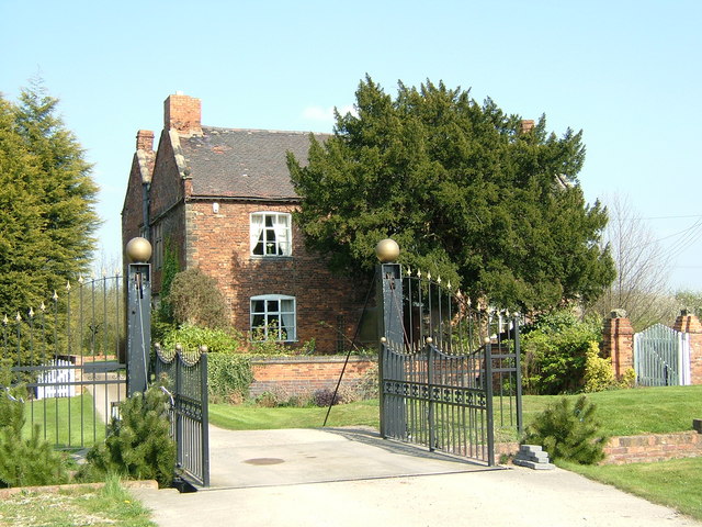
Surrounded by rolling green hills and picturesque landscapes, Green, Over is known for its stunning natural beauty. The village is home to a tight-knit community, with a population of around 500 people. The residents take great pride in maintaining the village's traditional character, evident in its well-preserved historic buildings and charming thatched cottages.
Green, Over offers a range of amenities to cater to its residents' needs. The village boasts a local pub, The Green Inn, which serves as a social hub for the community. Additionally, there is a village hall that hosts various events and gatherings throughout the year, fostering a strong sense of community spirit.
The village is also known for its proximity to several notable attractions. Just a short drive away lies Warwick Castle, a magnificent medieval fortress that offers a glimpse into England's rich history. The nearby town of Leamington Spa provides residents with access to a wider range of amenities, including shopping centers, restaurants, and leisure facilities.
Green, Over is well-connected to the surrounding areas, with good transport links to nearby towns and cities. The village's peaceful and scenic surroundings make it an ideal place for those seeking a tranquil retreat within easy reach of urban amenities.
If you have any feedback on the listing, please let us know in the comments section below.
Green, Over Images
Images are sourced within 2km of 52.543622/-1.7655049 or Grid Reference SP1694. Thanks to Geograph Open Source API. All images are credited.


Green, Over is located at Grid Ref: SP1694 (Lat: 52.543622, Lng: -1.7655049)
Unitary Authority: Birmingham
Police Authority: West Midlands
What 3 Words
///joke.fines.shared. Near Curdworth, Warwickshire
Nearby Locations
Related Wikis
Peddimore Hall
Peddimore Hall is a manor house in the Minworth, Peddimore area of Sutton Coldfield in Birmingham, West Midlands, England. It is a Scheduled Ancient Monument...
Wiggins Hill
Wiggins Hill (sometimes spelled Wigginshill) is a hamlet situated in the Minworth area of the civil parish of Sutton Coldfield, West Midlands. It lies...
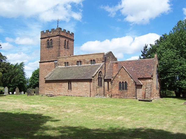
St Chad's Church, Wishaw
St Chad's Church, Wishaw is a Grade II* listed parish church in the Church of England in Wishaw, Warwickshire. == History == The church dates from the...

Sutton New Hall (ward)
Sutton New Hall is one of the 40 electoral wards in Birmingham, England and is named after New Hall, a medieval manor house. Sutton New Hall is one of...
Nearby Amenities
Located within 500m of 52.543622,-1.7655049Have you been to Green, Over?
Leave your review of Green, Over below (or comments, questions and feedback).