Greenacres Fold

Settlement in Lancashire

England

Greenacres Fold

A672 Ripponden Road at Collett Street
A672 Ripponden Road at Collett Street Credit: Colin Pyle

Greenacres Fold is a charming small village located in the county of Lancashire, England. Situated in the picturesque countryside, it is part of the larger Borough of Pendle. The village is nestled amongst rolling green hills and offers its residents a peaceful and idyllic setting.

Known for its natural beauty, Greenacres Fold is a popular destination for nature lovers and outdoor enthusiasts. The village is surrounded by vast fields, meadows, and woodlands, providing ample opportunities for hiking, walking, and cycling. The nearby Pendle Hill, a prominent landmark in the area, offers stunning panoramic views of the surrounding countryside.

Despite its rural setting, Greenacres Fold benefits from good transport links. The village is well-connected to the larger towns and cities in the region, making it a convenient place to live for commuters. The nearby town of Burnley provides residents with a range of amenities, including shopping centers, restaurants, and leisure facilities.

The community in Greenacres Fold is tight-knit and friendly, with a strong sense of community spirit. The village boasts a primary school, a church, and a local pub, which serves as a hub for social gatherings and events.

In summary, Greenacres Fold is a picturesque and welcoming village in Lancashire, offering its residents a tranquil and scenic environment surrounded by nature. With its convenient location and strong community spirit, it is an ideal place to live for those seeking a rural lifestyle with easy access to amenities.

If you have any feedback on the listing, please let us know in the comments section below.

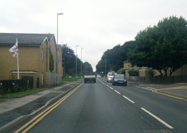
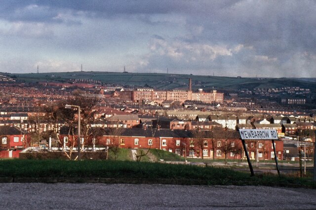
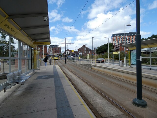
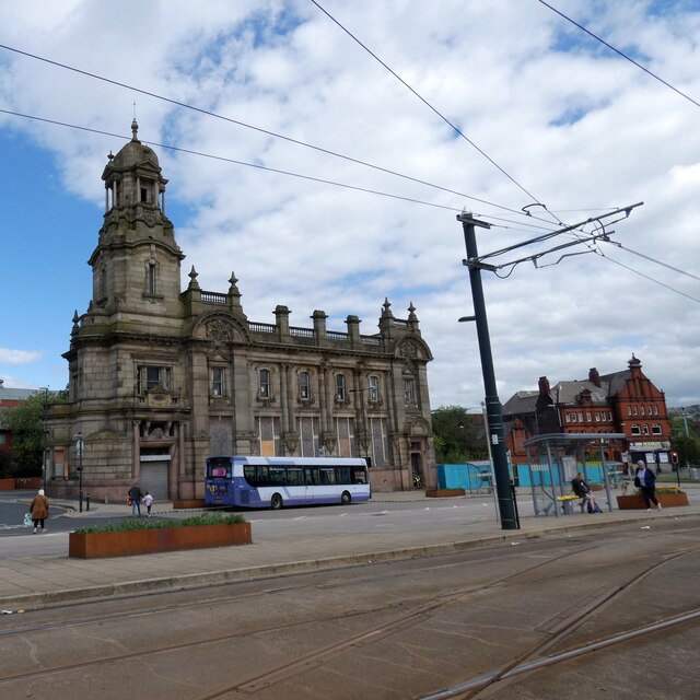
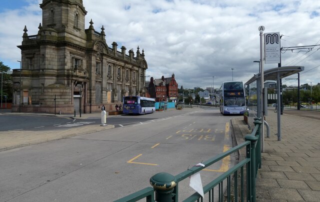
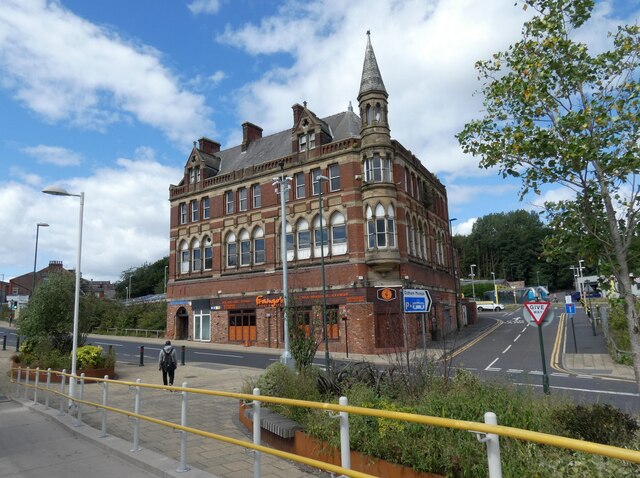
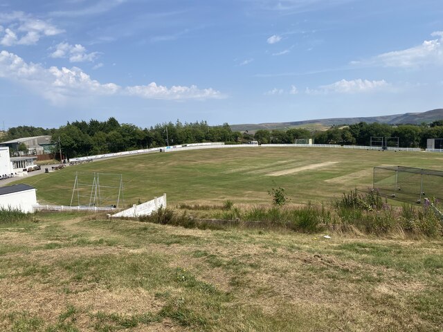
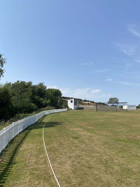
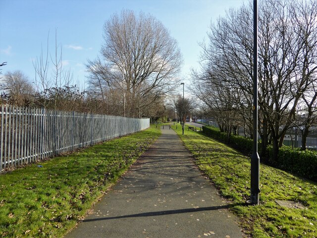
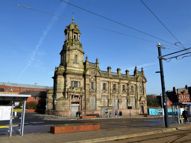
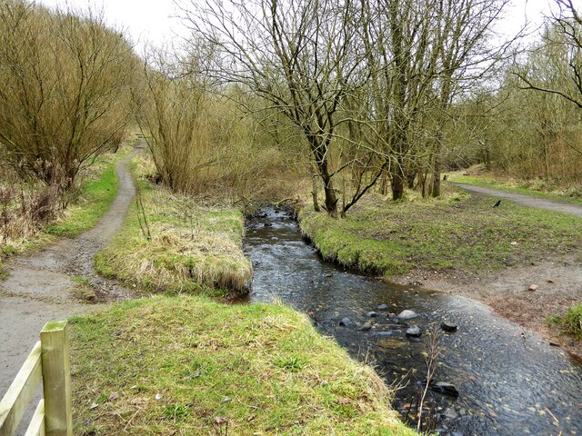
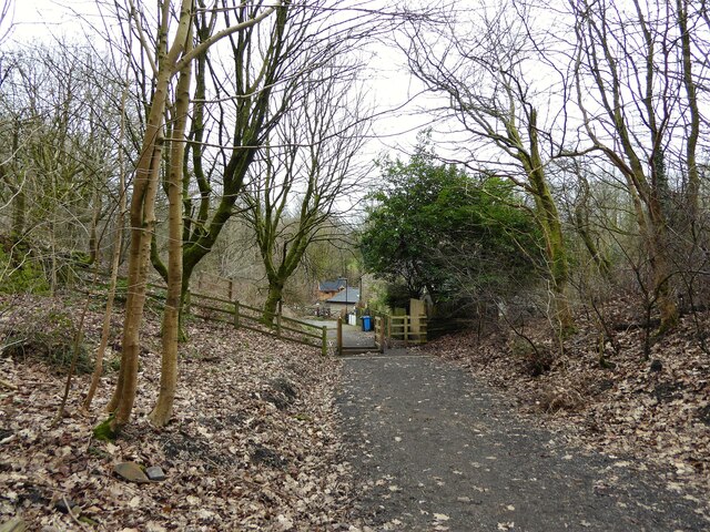
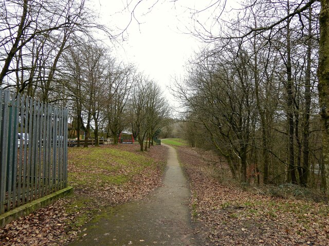
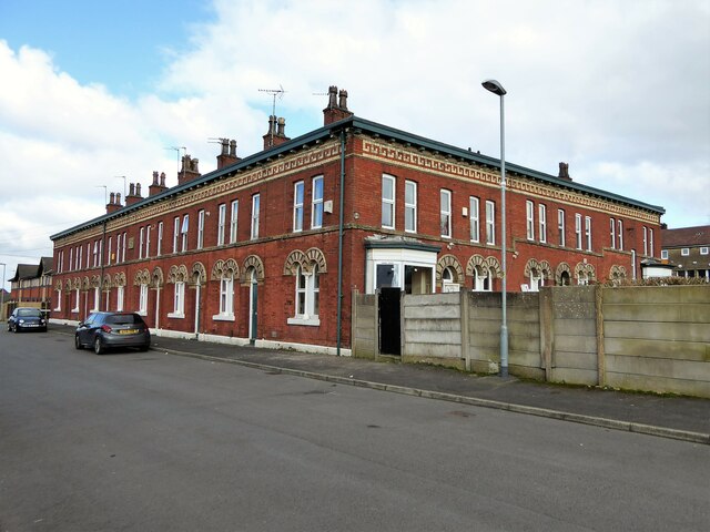
Greenacres Fold Images

Images are sourced within 2km of 53.545277/-2.0773343 or Grid Reference SD9405. Thanks to Geograph Open Source API. All images are credited.

A672 Ripponden Road at Collett Street
Egerton Street at Bridgewater Street, Mumps
Derker Mills, Oldham
Oldham Mumps Tram Stop 
A railway line from Manchester to Oldham was opened in 1847. In 1863 the line was extended to Rochdale. Railway operations ended on 3 October 2009, and the Oldham Loop Line was closed for conversion to Matrolink. The line was completely rebuilt, with all of the former infrastructure, including the former stations and station buildings demolished, and replaced, and overhead wiring added. The line was re-opened in phases: Tram services started on 13 June 2012 between Manchester and Oldham Mumps: As a temporary measure, until the town centre line was completed, the former railway line through Oldham Mumps was retained, and a temporary tram stop constructed in place of the former railway station. A permanent stop called Oldham Mumps was later opened on the town centre line in a different location. Services were extended to Shaw and Crompton on 16 December 2012, and to Rochdale Railway Station on 28 February 2013. The Oldham town centre line opened on 27 January 2014, allowing the section of former railway line, and temporary stop at Oldham Mumps to be permanently closed. The Rochdale town centre line opened on 31 March 2014.
Oldham Mumps Tram Stop
A railway line from Manchester to Oldham was opened in 1847. In 1863 the line was extended to Rochdale. Railway operations ended on 3 October 2009, and the Oldham Loop Line was closed for conversion to Matrolink. The line was completely rebuilt, with all of the former infrastructure, including the former stations and station buildings demolished, and replaced, and overhead wiring added. The line was re-opened in phases: Tram services started on 13 June 2012 between Manchester and Oldham Mumps: As a temporary measure, until the town centre line was completed, the former railway line through Oldham Mumps was retained, and a temporary tram stop constructed in place of the former railway station. A permanent stop called Oldham Mumps was later opened on the town centre line in a different location. Services were extended to Shaw and Crompton on 16 December 2012, and to Rochdale Railway Station on 28 February 2013. The Oldham town centre line opened on 27 January 2014, allowing the section of former railway line, and temporary stop at Oldham Mumps to be permanently closed. The Rochdale town centre line opened on 31 March 2014.
Former NatWest bank 
The Grade II listed former bank <span class="nowrap"><a title="https://historicengland.org.uk/listing/the-list/list-entry/1201682?section=official-list-entry" rel="nofollow ugc noopener" href="https://historicengland.org.uk/listing/the-list/list-entry/1201682?section=official-list-entry">Link</a><img style="margin-left:2px;" alt="External link" title="External link - shift click to open in new window" src="https://s1.geograph.org.uk/img/external.png" width="10" height="10"/></span> at Mumps dates from 1902. The bank, originally the Manchester and County, was created by renowned Manchester architects Mills & Murgatroyd. It featured a unique baroque copper-crowned tower and a polished red granite base. Inside, the banking hall housed a 50ft mahogany counter. The bank was taken over by NatWest in 1970. In 1995 it was closed when NatWest merged their Mumps and Yorkshire Street branches. It was put on the market for £170,000. Plans the following year to turn the building into a pub fell through. Several later refurbishment plans have also failed. The building is a focal point within the bus/metrolink tram interchange.
Former NatWest bank
The Grade II listed former bank LinkExternal link at Mumps dates from 1902. The bank, originally the Manchester and County, was created by renowned Manchester architects Mills & Murgatroyd. It featured a unique baroque copper-crowned tower and a polished red granite base. Inside, the banking hall housed a 50ft mahogany counter. The bank was taken over by NatWest in 1970. In 1995 it was closed when NatWest merged their Mumps and Yorkshire Street branches. It was put on the market for £170,000. Plans the following year to turn the building into a pub fell through. Several later refurbishment plans have also failed. The building is a focal point within the bus/metrolink tram interchange.
Mumps transport interchange 
Next to the Metrolink tram stop at Mumps are several bus stops. On the left is  the Grade II listed former NatWest bank <span class="nowrap"><a title="https://historicengland.org.uk/listing/the-list/list-entry/1201682?section=official-list-entry" rel="nofollow ugc noopener" href="https://historicengland.org.uk/listing/the-list/list-entry/1201682?section=official-list-entry">Link</a><img style="margin-left:2px;" alt="External link" title="External link - shift click to open in new window" src="https://s1.geograph.org.uk/img/external.png" width="10" height="10"/></span> <a href="https://www.geograph.org.uk/photo/7263233">SD9305 : Former NatWest bank</a>.
Mumps transport interchange
Next to the Metrolink tram stop at Mumps are several bus stops. On the left is the Grade II listed former NatWest bank LinkExternal link SD9305 : Former NatWest bank.
17-21 Mumps 
Only the ground floor of this three storey building are currently occupied. Before becoming Frango's this was Fusion 21. Before that the right hand portion had been Kava and the left hand portion  the site office for Westshield. Before Westshield that part had been The Hair Lounge. Around 2012 the right hand side was called  Langham House. In 2009 the building was home to a photography studio Xpressions. All the adjoining buildings towards Yorkshire Street were demolished around 2016. There are plans to convert the upper storeys into apartments.
17-21 Mumps
Only the ground floor of this three storey building are currently occupied. Before becoming Frango's this was Fusion 21. Before that the right hand portion had been Kava and the left hand portion the site office for Westshield. Before Westshield that part had been The Hair Lounge. Around 2012 the right hand side was called Langham House. In 2009 the building was home to a photography studio Xpressions. All the adjoining buildings towards Yorkshire Street were demolished around 2016. There are plans to convert the upper storeys into apartments.
Cricket Pitch
Cricket Pitch
Slack Hall Trig Point Flush Bracket S2785
Cricket Pitch
Cricket Pitch
Cycle path following route of former railway The path goes from Oldham to Grotton following the Oldham to Greenfield railway line. Much of the route is on infill such as here looking east from Glodwick Road, Oldham
Cycle path following route of former railway
The path goes from Oldham to Grotton following the Oldham to Greenfield railway line. Much of the route is on infill such as here looking east from Glodwick Road, Oldham
Cycle route following line of former railway This view across Cranbrook Street just off the path shows the route is on the top of infill, since only the bridge parapet is visible of the former railway bridge. The path is on the  former Oldham to Greenfield line.
Cycle route following line of former railway
This view across Cranbrook Street just off the path shows the route is on the top of infill, since only the bridge parapet is visible of the former railway bridge. The path is on the former Oldham to Greenfield line.
Cycle path following route of former railway The path is approaching the former railway bridge at St. John Street which is one of the few not infilled on the route. The path runs from Oldham to Grotton along the former line to Greenfield.
Cycle path following route of former railway
The path is approaching the former railway bridge at St. John Street which is one of the few not infilled on the route. The path runs from Oldham to Grotton along the former line to Greenfield.
Former Bank A listed building at Mumps
Former Bank
A listed building at Mumps
River Medlock at Lees View on the Medlock Valley Way from a footbridge
River Medlock at Lees
View on the Medlock Valley Way from a footbridge
The end of the cycle path View towards Old Mill Lane at Grotton. The cycle path has followed the route of the former Oldham to Greenfield railway but deviates here to join Old Mill Lane.
The end of the cycle path
View towards Old Mill Lane at Grotton. The cycle path has followed the route of the former Oldham to Greenfield railway but deviates here to join Old Mill Lane.
Route of former railway at Grotton View from the former Grotton Station towards Lees on the Greenfield to Oldham railway route. A cycle path exists on the Grotton to Oldham portion of the route.
Route of former railway at Grotton
View from the former Grotton Station towards Lees on the Greenfield to Oldham railway route. A cycle path exists on the Grotton to Oldham portion of the route.
Block of historic houses, Albert Mount Block of houses with internal courtyard, dated to 1862, viewed from Bartlemore Street, Derker.
Block of historic houses, Albert Mount
Block of houses with internal courtyard, dated to 1862, viewed from Bartlemore Street, Derker.
Show me another place!

Greenacres Fold is located at Grid Ref: SD9405 (Lat: 53.545277, Lng: -2.0773343)

Unitary Authority: Oldham

Police Authority: Greater Manchester

What 3 Words

///unless.club.flames. Near Shaw, Manchester

Related Wikis

Greenacres, Greater Manchester

Greenacres , archaically Greenacres Moor, is an area of Oldham, in Greater Manchester, England. It lies on the west side of the River Medlock opposite...

Orme Mill, Waterhead

Orme Mill, Waterhead is a cotton spinning mill in Waterhead, Oldham, Greater Manchester, England. It was built in 1908. It was taken over by the Lancashire...

Majestic Mill, Waterhead

Majestic Mill, Waterhead is a cotton spinning mill in Waterhead, Oldham, Greater Manchester. It was built in 1903. It was taken over by the Lancashire...

Waterhead, Greater Manchester

Waterhead (or archaically, Waterhead Mill), is an area of Oldham, and an electoral ward of the Metropolitan Borough of Oldham, in Greater Manchester, England...

Nearby Amenities

Located within 500m of 53.545277,-2.0773343
Pub
Plough Inn
Lat/Long: 53.5491275/-2.0811444
Fuel
Shell
Addr Postcode: OL4 2HN
Brand: Shell
Brand Wikidata: Q110716465
Phone: +44 161 628 1910
Ref Navads: NVDS353_10019242
Website: https://find.shell.com/gb/fuel/10019242-two-counties-service-station
Lat/Long: 53.5494531/-2.0791321
Bus Stop
Greenacres, Greenacres Road / near Windermere Walk
Bus: yes
Naptan AtcoCode: 1800ED03081
Naptan Bearing: E
Naptan CommonName: Greenacres Road/Windermere Walk
Naptan Indicator: O/s Flats
Naptan Landmark: FLATS
Naptan NaptanCode: manajwpt
Naptan PlusbusZoneRef: MNCRPIC
Naptan ShortCommonName: Windermere Walk
Naptan Street: GREENACRES ROAD
Naptan Verified: no
Network: TfGM
Operator: TfGM
Public Transport: platform
Source: naptan_import
Lat/Long: 53.5452594/-2.0840754
Bus Stop
Top of Moor, Greenacres Road / opposite Cotton Tree Close
Bus: yes
Naptan AtcoCode: 1800ED07821
Naptan Bearing: SW
Naptan CommonName: Greenacres Road/Cotton Tree Close
Naptan Indicator: O/s House 2
Naptan Landmark: GREENACRE LODGE
Naptan NaptanCode: mantgjma
Naptan PlusbusZoneRef: MNCRPIC
Naptan ShortCommonName: Cotton Tree Close
Naptan Street: GREENACRES ROAD
Naptan Verified: no
Network: TfGM
Operator: TfGM
Public Transport: platform
Source: naptan_import
Lat/Long: 53.5472686/-2.0770162
Bus Stop
Greenacres, Greenacres Road / outside Greenacres Cemetery
Bus: yes
Naptan AtcoCode: 1800ED19031
Naptan Bearing: W
Naptan CommonName: Greenacres Road/Greenacres Cemetery
Naptan Indicator: Cemetery
Naptan Landmark: CEMETERY
Naptan NaptanCode: manapwap
Naptan PlusbusZoneRef: MNCRPIC
Naptan ShortCommonName: Cemetery
Naptan Street: GREENACRES ROAD
Naptan Verified: no
Network: TfGM
Operator: TfGM
Public Transport: platform
Source: naptan_import
Lat/Long: 53.5454761/-2.0827327
Bus Stop
Greenacres, Greenacres Road / opposite Greenacres Cemetery
Bus: yes
Naptan AtcoCode: 1800ED19041
Naptan Bearing: E
Naptan CommonName: Greenacres Road/Greenacres Cemetery
Naptan Indicator: Green Acres Pub
Naptan Landmark: GREEN ACRES PUB
Naptan NaptanCode: manapwat
Naptan PlusbusZoneRef: MNCRPIC
Naptan ShortCommonName: Cemetery
Naptan Street: GREENACRES ROAD
Naptan Verified: no
Network: TfGM
Operator: TfGM
Public Transport: platform
Source: naptan_import
Lat/Long: 53.5459083/-2.0816771
Bus Stop
Top of Moor, Greenacres Road / opposite Sycamore Avenue
Bus: yes
Naptan AtcoCode: 1800ED19051
Naptan Bearing: W
Naptan CommonName: Greenacres Road/Sycamore Avenue
Naptan Indicator: O/s House 246
Naptan Landmark: HOUSE 246
Naptan NaptanCode: manapwaw
Naptan PlusbusZoneRef: MNCRPIC
Naptan ShortCommonName: Sycamore Avenue
Naptan Street: GREENACRES ROAD
Naptan Verified: no
Network: TfGM
Operator: TfGM
Public Transport: platform
Shelter: yes
Source: naptan_import
Lat/Long: 53.5464837/-2.0790587
Bus Stop
Top of Moor, Greenacres Road / near Sycamore Avenue
Bus: yes
Naptan AtcoCode: 1800ED19061
Naptan Bearing: E
Naptan CommonName: Greenacres Road/Sycamore Avenue
Naptan Indicator: O/s House 327
Naptan Landmark: HOUSE 327
Naptan NaptanCode: manapwda
Naptan PlusbusZoneRef: MNCRPIC
Naptan ShortCommonName: Sycamore Avenue
Naptan Street: GREENACRES ROAD
Naptan Verified: no
Network: TfGM
Operator: TfGM
Public Transport: platform
Source: naptan_import
Lat/Long: 53.546548/-2.0793391
Bus Stop
Top of Moor, Greenacres Road / near Cotton Tree Close
Bus: yes
Naptan AtcoCode: 1800ED11011
Naptan Bearing: NE
Naptan CommonName: Greenacres Road/Cotton Tree Close
Naptan Indicator: O/s House 2
Naptan Landmark: HOUSE 2
Naptan NaptanCode: manampap
Naptan PlusbusZoneRef: MNCRPIC
Naptan ShortCommonName: Cotton Tree Close
Naptan Street: GREENACRES ROAD
Naptan Verified: no
Network: TfGM
Operator: TfGM
Public Transport: platform
Source: naptan_import
Lat/Long: 53.5473225/-2.0771672
Bus Stop
Waterhead, Greenacres Road / opposite Bulls Head
Bus: yes
Naptan AtcoCode: 1800ED11111
Naptan Bearing: W
Naptan CommonName: Greenacres Road/Bulls Head
Naptan Indicator: Mill
Naptan Landmark: MILL
Naptan NaptanCode: manampda
Naptan PlusbusZoneRef: MNCRPIC
Naptan ShortCommonName: Bulls Head
Naptan Street: GREENACRES ROAD
Naptan Verified: no
Network: TfGM
Operator: TfGM
Public Transport: platform
Source: naptan_import
Lat/Long: 53.5482415/-2.0735377
Bus Stop
Waterhead, Greenacres Road / outside Bulls Head
Bus: yes
Naptan AtcoCode: 1800ED11121
Naptan Bearing: E
Naptan CommonName: Greenacres Road/Bulls Head
Naptan Indicator: Bulls Head Pub
Naptan Landmark: BULL'S HEAD P/H
Naptan NaptanCode: manampdg
Naptan Notes: INDICATOR AMENDED
Naptan PlusbusZoneRef: MNCRPIC
Naptan ShortCommonName: Bulls Head
Naptan Street: GREENACRES ROAD
Naptan Verified: no
Network: TfGM
Operator: TfGM
Public Transport: platform
Source: naptan_import
Lat/Long: 53.5484126/-2.0732602
Bus Stop
Waterhead, Huddersfield Road / opposite Sharples Hall Street
Bus: yes
Naptan AtcoCode: 1800ED30571
Naptan Bearing: W
Naptan CommonName: Huddersfield Road/Sharples Hall Street
Naptan Indicator: Opp House 389
Naptan Landmark: HOUSE 387
Naptan NaptanCode: manatmpd
Naptan PlusbusZoneRef: MNCRPIC
Naptan ShortCommonName: Sharples Hall Str
Naptan Street: Huddersfield Road
Naptan Verified: no
Network: TfGM
Operator: TfGM
Public Transport: platform
Source: naptan_import
Lat/Long: 53.5488564/-2.0818639
Bus Stop
Waterhead, Huddersfield Road / near Heywood Street
Bus: yes
Naptan AtcoCode: 1800ED30581
Naptan Bearing: W
Naptan CommonName: Huddersfield Road/Heywood Street
Naptan Indicator: Springhill Crt
Naptan Landmark: SPRINGHILL CRT
Naptan NaptanCode: manatmpg
Naptan PlusbusZoneRef: MNCRPIC
Naptan ShortCommonName: Heywood Street
Naptan Street: Huddersfield Road
Naptan Verified: no
Network: TfGM
Operator: TfGM
Public Transport: platform
Source: naptan_import
Lat/Long: 53.5493626/-2.0776086
Bus Stop
Waterhead, Huddersfield Road / near Cobden Street
Bus: yes
Naptan AtcoCode: 1800ED30591
Naptan Bearing: E
Naptan CommonName: Huddersfield Road/Cobden Street
Naptan Indicator: Coach & Horses
Naptan Landmark: FLATS
Naptan NaptanCode: manatmpj
Naptan Notes: STOP MOVED
Naptan PlusbusZoneRef: MNCRPIC
Naptan ShortCommonName: Cobden Street
Naptan Street: Huddersfield Road
Naptan Verified: no
Network: TfGM
Operator: TfGM
Public Transport: platform
Source: naptan_import
Lat/Long: 53.5496512/-2.0760998
Traffic Calming: cushion
Lat/Long: 53.5452855/-2.0836485
Noexit: yes
Lat/Long: 53.5449904/-2.0782154
Turning Circle
Lat/Long: 53.5413628/-2.0798569
Turning Circle
Lat/Long: 53.5415508/-2.0788159
Mini Roundabout
Direction: clockwise
Lat/Long: 53.545668/-2.0821278
Turning Circle
Lat/Long: 53.5447566/-2.0775345
Noexit: yes
Lat/Long: 53.54458/-2.0788744
Noexit: yes
Lat/Long: 53.545818/-2.0815491
Noexit: yes
Lat/Long: 53.5408629/-2.0779916
Generator Method: photovoltaic
Generator Output Electricity: yes
Generator Source: solar
Generator Type: solar_photovoltaic_panel
Location: roof
Power: generator
Lat/Long: 53.546543/-2.0702452
Generator Method: photovoltaic
Generator Output Electricity: yes
Generator Source: solar
Generator Type: solar_photovoltaic_panel
Location: roof
Power: generator
Lat/Long: 53.5465415/-2.0703418
Generator Method: photovoltaic
Generator Output Electricity: yes
Generator Source: solar
Generator Type: solar_photovoltaic_panel
Location: roof
Power: generator
Lat/Long: 53.5482301/-2.0827592
The Haven Data Services
Addr City: Oldham
Addr Housename: The Haven Data Services
Addr Housenumber: Unit 3, Dowry Industrial Park Estate
Addr Postcode: OL4 3NU
Addr Street: Turner Street
Office: it
Opening Hours: Mo-Fr 07:00-17:00, Sa 08:00-12:00
Lat/Long: 53.5438965/-2.0707928
Historic: memorial
Lat/Long: 53.5493121/-2.0767439
Traffic Calming: cushion
Lat/Long: 53.545112/-2.0846006
Traffic Calming: cushion
Lat/Long: 53.545523/-2.0826802
Barrier: bollard
Lat/Long: 53.5460003/-2.0829415
Noexit: yes
Lat/Long: 53.5447367/-2.0782572
Noexit: yes
Lat/Long: 53.5452879/-2.0823871
Noexit: yes
Lat/Long: 53.5411216/-2.0780171
Traffic Calming: chicane
Lat/Long: 53.5442843/-2.0773254
The data included in this document is from www.openstreetmap.org. The data is made available under ODbL.

Have you been to Greenacres Fold?

Leave your review of Greenacres Fold below (or comments, questions and feedback).