Malinslee

Settlement in Shropshire

England

Malinslee

A peek round the back of the Aldi store HGV access to the rear of the supermarket and the adjoining home improvements store (Aldi and Wickes respectively) which now occupy the land on Snedshill that was once home to the Lilleshall Company.
A peek round the back of the Aldi store Credit: Richard Law

Malinslee is a small residential area located in the borough of Telford and Wrekin, within the county of Shropshire, England. Situated just three miles east of Telford town center, Malinslee is a vibrant community that offers a mix of residential and commercial amenities.

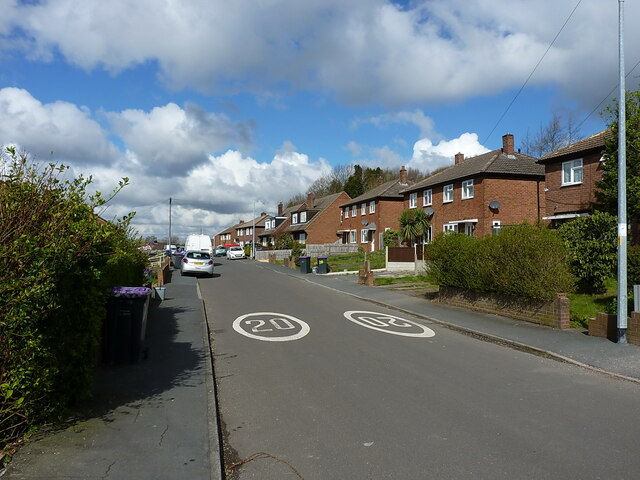
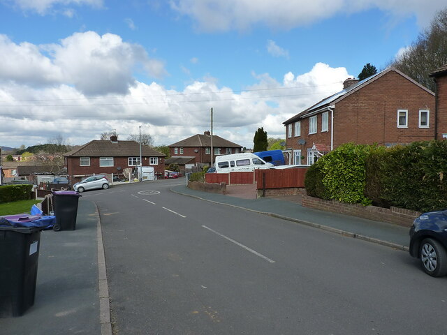
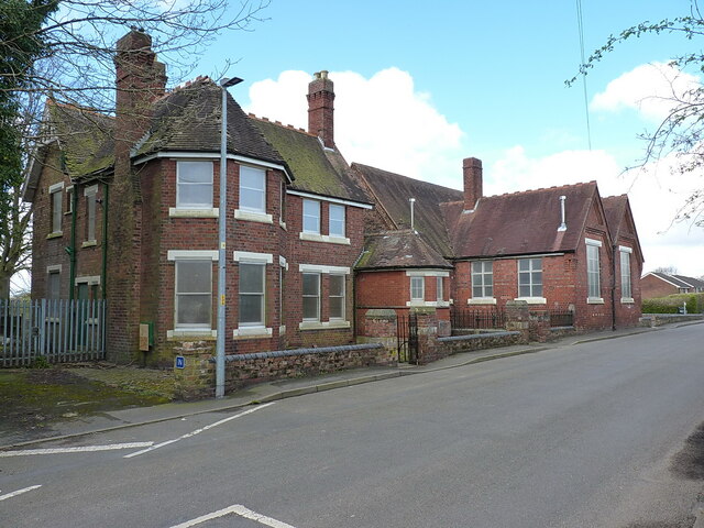
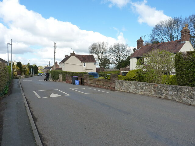
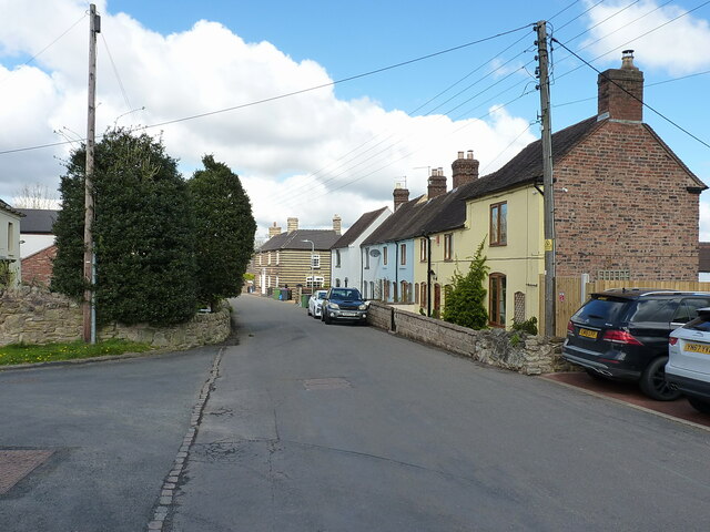
The area is primarily residential, with a range of housing options available, including detached and semi-detached houses, as well as some apartment complexes. Many of the properties in Malinslee were built in the mid-20th century, giving the area a distinct post-war architectural style.

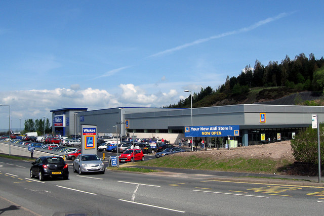
Malinslee is well-served by local amenities, including a community center, a primary school, and several shops and convenience stores. The area also benefits from being close to the Telford Shopping Center, one of the largest indoor shopping centers in the region, offering a wide range of retail, dining, and entertainment options.

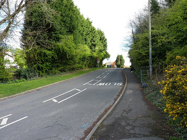
Transportation links in Malinslee are excellent, with easy access to the M54 motorway, which provides connections to larger cities like Birmingham and Wolverhampton. The area is also served by regular bus services, making it easy to travel to nearby towns and villages.

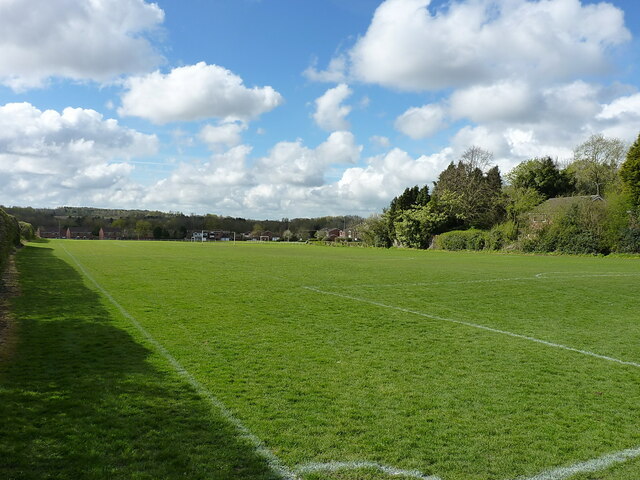
Nature lovers will appreciate the proximity of Malinslee to several green spaces, including the Telford Town Park and the nearby Ironbridge Gorge, a UNESCO World Heritage site. These areas offer opportunities for outdoor activities such as walking, cycling, and picnicking.

In summary, Malinslee is a pleasant residential area in Shropshire, offering a range of housing options, convenient amenities, excellent transport links, and access to beautiful green spaces.

If you have any feedback on the listing, please let us know in the comments section below.
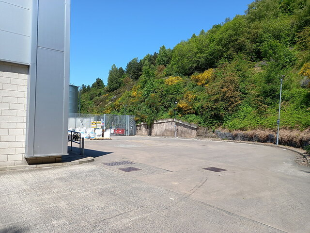
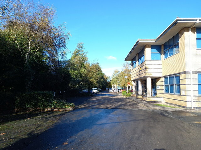
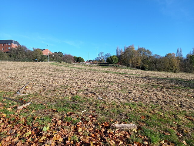
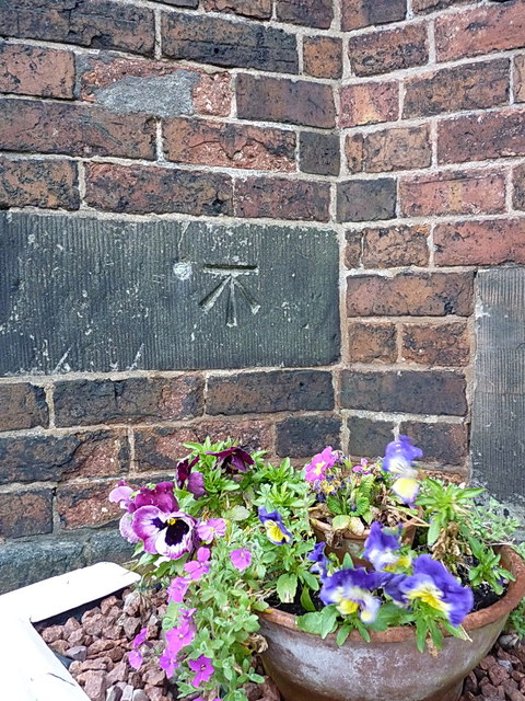
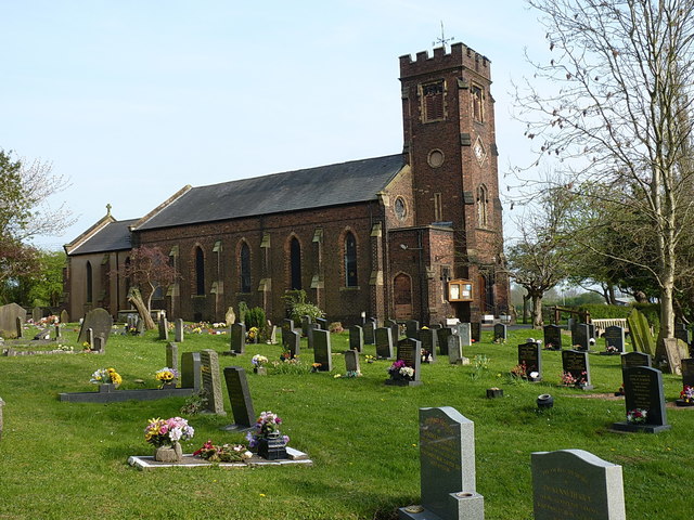
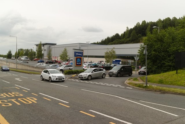
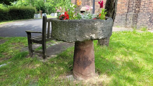
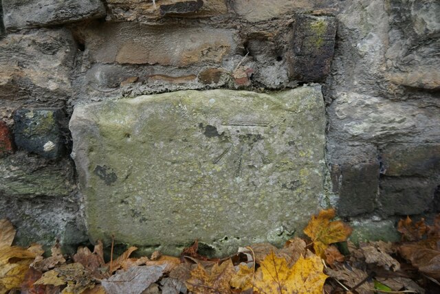
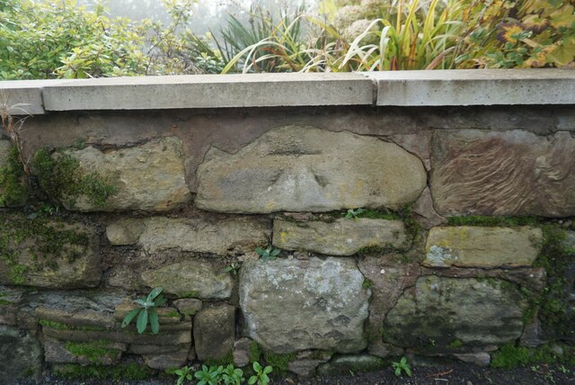
Malinslee Images

Images are sourced within 2km of 52.673854/-2.4568407 or Grid Reference SJ6908. Thanks to Geograph Open Source API. All images are credited.

A peek round the back of the Aldi store HGV access to the rear of the supermarket and the adjoining home improvements store (Aldi and Wickes respectively) which now occupy the land on Snedshill that was once home to the Lilleshall Company.
A peek round the back of the Aldi store
HGV access to the rear of the supermarket and the adjoining home improvements store (Aldi and Wickes respectively) which now occupy the land on Snedshill that was once home to the Lilleshall Company.
Pearson Road - Office units in Central Park The area now occupied by the Central Park business estate was formerly the Snedshill steelworks, part of the Lilleshall Company's operations. By the mid '70s my recollection is that the steelworks had shut, although many of the buildings were still there, and one shed was occupied by 'The Maggot Factory' which used dead farm animals to breed maggots for angling on an industrial scale; it had a very distinctive aroma, but sold maggots by the gallon for pennies if you had the constitution to walk in and just ask.
Pearson Road - Office units in Central Park
The area now occupied by the Central Park business estate was formerly the Snedshill steelworks, part of the Lilleshall Company's operations. By the mid '70s my recollection is that the steelworks had shut, although many of the buildings were still there, and one shed was occupied by 'The Maggot Factory' which used dead farm animals to breed maggots for angling on an industrial scale; it had a very distinctive aroma, but sold maggots by the gallon for pennies if you had the constitution to walk in and just ask.
Open ground south of Holyhead Road, Snedshill The area now occupied by the Central Park business estate was formerly the Snedshill steelworks, part of the Lilleshall Company's operations, and the older maps show this land occupied by coke ovens, furnaces, chimneys and travelling cranes. All removed during the 1970s as part of the work to develop Telford as a New Town.
Open ground south of Holyhead Road, Snedshill
The area now occupied by the Central Park business estate was formerly the Snedshill steelworks, part of the Lilleshall Company's operations, and the older maps show this land occupied by coke ovens, furnaces, chimneys and travelling cranes. All removed during the 1970s as part of the work to develop Telford as a New Town.
New Aldi Supermarket and Wickes DIY stores, Snedshill, Telford The development at Holyhead Road, Snedshill, Telford is now complete and the stores are open for business.  16 April 2011.

Original Lilleshall Co. factory. <a title="https://www.geograph.org.uk/photo/2024941" href="https://www.geograph.org.uk/photo/2024941">Link</a>
Fire ravaged ruins. <a title="https://www.geograph.org.uk/photo/2028184" href="https://www.geograph.org.uk/photo/2028184">Link</a>
Cleared site. <a title="https://www.geograph.org.uk/photo/2028197" href="https://www.geograph.org.uk/photo/2028197">Link</a>
Start of development. <a title="https://www.geograph.org.uk/photo/2028204" href="https://www.geograph.org.uk/photo/2028204">Link</a>
New buildings.  <a title="https://www.geograph.org.uk/photo/2250149" href="https://www.geograph.org.uk/photo/2250149">Link</a>
New Aldi Supermarket and Wickes DIY stores, Snedshill, Telford
The development at Holyhead Road, Snedshill, Telford is now complete and the stores are open for business. 16 April 2011. Original Lilleshall Co. factory. Link Fire ravaged ruins. Link Cleared site. Link Start of development. Link New buildings. Link
OS benchmark and bolt - Snedshill, St Peter's church An OS cutmark and bolt from the 1st Primary Levelling of the country between 1840 - 1860; this mark was levelled at 561' 2" above Ordnance Datum Liverpool. It lies on the wall just to the right of the entrance to <a href="https://www.geograph.org.uk/photo/858270">SJ7010 : St Peter's Church, Priorslee</a>
OS benchmark and bolt - Snedshill, St Peter's church
An OS cutmark and bolt from the 1st Primary Levelling of the country between 1840 - 1860; this mark was levelled at 561' 2" above Ordnance Datum Liverpool. It lies on the wall just to the right of the entrance to SJ7010 : St Peter's Church, Priorslee
St Peter's Church at Priorslee This rather fine, Grade II listed <span class="nowrap"><a title="https://www.britishlistedbuildings.co.uk/101033297-church-of-st-peter-st-georges-and-priorslee#.WRTNEtQrLGg" rel="nofollow ugc noopener" href="https://www.britishlistedbuildings.co.uk/101033297-church-of-st-peter-st-georges-and-priorslee#.WRTNEtQrLGg">Link</a><img style="margin-left:2px;" alt="External link" title="External link - shift click to open in new window" src="https://s1.geograph.org.uk/img/external.png" width="10" height="10"/></span> building was erected in 1836, and listed in 1983.
St Peter's Church at Priorslee
This rather fine, Grade II listed LinkExternal link building was erected in 1836, and listed in 1983.
Entrance to Wickes and Aldi, Holyhead Road
12th Century Font The 12th Century from Priorslee Chapel that now sits in the grounds of St Peter's Church in Snedshill
12th Century Font
The 12th Century from Priorslee Chapel that now sits in the grounds of St Peter's Church in Snedshill
Mossey Green Benchmark The OS Benchmark cut into the north facing wall adjacent to Main Road, Ketley Bank, Telford. This is a 3rd Order benchmark that was last verified by the OS in 1961. It is recorded as being 175.85-metres above the Ordnance Datum at Newlyn.
Mossey Green Benchmark
The OS Benchmark cut into the north facing wall adjacent to Main Road, Ketley Bank, Telford. This is a 3rd Order benchmark that was last verified by the OS in 1961. It is recorded as being 175.85-metres above the Ordnance Datum at Newlyn.
Lawrence House Benchmark The OS benchmark that sits in the garden wall of Lawrence House (No.32) Main Road, Ketley Bank, Telford. It is a 3rd Order benchmark that was last verified by the OS in 1961. The OS records indicate that the benchmark is 0.6-metres above the ground. The wall has been re-built and along with its height above the ground suggests that it has been moved.
Lawrence House Benchmark
The OS benchmark that sits in the garden wall of Lawrence House (No.32) Main Road, Ketley Bank, Telford. It is a 3rd Order benchmark that was last verified by the OS in 1961. The OS records indicate that the benchmark is 0.6-metres above the ground. The wall has been re-built and along with its height above the ground suggests that it has been moved.
Looking west along Fifth Avenue Probably not the one you're thinking of; this is the REALLY famous Fifth Avenue in Ketley Bank!
Looking west along Fifth Avenue
Probably not the one you're thinking of; this is the REALLY famous Fifth Avenue in Ketley Bank!
At the end of Fifth Avenue Here the Fifth Avenue joins Grange Road.
At the end of Fifth Avenue
Here the Fifth Avenue joins Grange Road.
Looking up Bank Way The main route through Ketley Bank
Looking up Bank Way
The main route through Ketley Bank
Main Road, Ketley Bank Main Road leads through the former coal-mining village of Ketley Bank. The cottage on the right looks to be one of the older properties in the area, and is Sutherland Cottage, which probably dates it to the late 18th or early 19th century.
Main Road, Ketley Bank
Main Road leads through the former coal-mining village of Ketley Bank. The cottage on the right looks to be one of the older properties in the area, and is Sutherland Cottage, which probably dates it to the late 18th or early 19th century.
The former Ketley Bank primary school Last time I passed by this way a few years ago, the old school was in use as <a href="https://www.geograph.org.uk/photo/4191695">SJ6910 : Ketley Bank Community Centre</a> but is now lying boarded up and disused. The doors had a notice saying it's no longer a polling station either.
The former Ketley Bank primary school
Last time I passed by this way a few years ago, the old school was in use as SJ6910 : Ketley Bank Community Centre but is now lying boarded up and disused. The doors had a notice saying it's no longer a polling station either.
Football pitch marked out on the playing fields of Ketley Bank The whole area was once scarred by old mines and tips; the trees on the right are growing on a former spoil heap.
Football pitch marked out on the playing fields of Ketley Bank
The whole area was once scarred by old mines and tips; the trees on the right are growing on a former spoil heap.
Main Road, Ketley Bank A view westwards along Main Road through the village of Ketley Bank.
Main Road, Ketley Bank
A view westwards along Main Road through the village of Ketley Bank.
Miners' cottages in Ketley Bank A terrace of 19th century cottages on Main Road in Ketley Bank, probably once occupied by families earning a living from the extensive coal mines in the area.
Miners' cottages in Ketley Bank
A terrace of 19th century cottages on Main Road in Ketley Bank, probably once occupied by families earning a living from the extensive coal mines in the area.
Show me another place!

Malinslee is located at Grid Ref: SJ6908 (Lat: 52.673854, Lng: -2.4568407)

Unitary Authority: Telford and Wrekin

Police Authority: West Mercia

What 3 Words

///alpha.sport.milder. Near Telford, Shropshire

Related Wikis

Malinslee

Malinslee is an estate in the town of Telford and Wrekin, Shropshire, England. It is near the Town Park and Telford Shopping Centre, and next to the Dawley...

Thomas Telford School

Thomas Telford School is a City Technology College in Telford, Shropshire and is sponsored by The Mercers Company and Tarmac Holdings Limited. == History... ==

Telford (UK Parliament constituency)

Telford is a constituency represented in the House of Commons of the UK Parliament since May 2015 by Lucy Allan, a Conservative, who defeated David Wright...

Telford Ice Rink

Telford Ice Rink is located in the £250m Southwater Complex in Telford, Shropshire, England. The ice rink is home to National Ice Hockey League team the...

Nearby Amenities

Located within 500m of 52.673854,-2.4568407
Traffic Signals
Traffic Signals: signal
Lat/Long: 52.6767595/-2.4552745
Traffic Signals
Traffic Signals: signal
Traffic Signals Direction: forward
Lat/Long: 52.6771576/-2.4545252
Crossing
Crossing: unmarked
Crossing Island: yes
Crossing Markings: no
Tactile Paving: yes
Lat/Long: 52.6764042/-2.4517836
Crossing
Crossing: zebra
Lat/Long: 52.6763111/-2.4521544
Crossing
Crossing: unmarked
Crossing Island: yes
Crossing Markings: no
Tactile Paving: yes
Lat/Long: 52.6764592/-2.4517387
Direction: both
Traffic Calming: bump
Lat/Long: 52.6716733/-2.4541918
Barrier: yes
Lat/Long: 52.6722671/-2.4556554
Malinslee
Is In: Telford
Place: suburb
Lat/Long: 52.6717784/-2.4569128
Crossing
Crossing: unmarked
Crossing Island: no
Tactile Paving: yes
Lat/Long: 52.6760886/-2.4536715
Atm
Barclays
Brand: Barclays
Brand Wikidata: Q245343
Brand Wikipedia: en:Barclays
Operator: Barclays
Operator Wikidata: Q245343
Lat/Long: 52.6756478/-2.4511276
Atm
Barclays
Brand: Barclays
Brand Wikidata: Q245343
Brand Wikipedia: en:Barclays
Operator: Barclays
Operator Wikidata: Q245343
Lat/Long: 52.6756772/-2.4511007
Charging Station
Amperage: 16
Capacity: 2
Free: yes
Layer: 0
Network: Polar Instant
Socket Type2: 2
Voltage: 250
Lat/Long: 52.6759159/-2.4512529
Charging Station
Amperage: 16
Capacity: 2
Free: yes
Layer: 0
Network: Polar Instant
Socket Type2: 2
Voltage: 250
Lat/Long: 52.6759498/-2.4513641
Noexit: yes
Lat/Long: 52.6770392/-2.4531957
Pub
Severn Gorge
Lat/Long: 52.6765029/-2.453532
Post Box
Collection Times: Mo-Fr 16:00; Sa 11:45
Operator: Royal Mail
Operator Wikidata: Q638098
Post Box Design: indoor_pillar
Post Box Type: pillar
Ref: TF3 362
Royal Cypher: EIIR
Royal Cypher Wikidata: Q33102113
Lat/Long: 52.6755629/-2.4515757
Pharmacy
Asda
Brand: Asda
Brand Wikidata: Q297410
Brand Wikipedia: en:Asda
Contact Phone: +44 1952 741020
Contact Website: https://storelocator.asda.com/west-midlands/telford/malinsgate/pharmacy
Healthcare: pharmacy
Operator: Asda Stores Ltd
Lat/Long: 52.6753893/-2.4517062
Asda Opticians
Brand: Asda
Brand Wikidata: Q297410
Brand Wikipedia: en:Asda
Contact Phone: +44 1952 741025
Contact Website: https://storelocator.asda.com/west-midlands/telford/malinsgate/opticians
Operator: Asda Stores Ltd
Shop: optician
Lat/Long: 52.6754375/-2.4516598
Cafe
Asda Café
Brand: Asda
Brand Wikidata: Q297410
Brand Wikipedia: en:Asda
Contact Phone: +44 1952 741020
Contact Website: https://storelocator.asda.com/west-midlands/telford/malinsgate/cafe
Cuisine: coffee_shop
Drinking Water Refill: yes
Drinking Water Refill Network: Refill
Internet Access: wlan
Internet Access Fee: no
Opening Hours Covid19: Mo-Su off
Operator: Asda Stores Ltd
Takeaway: yes
Lat/Long: 52.6758541/-2.4512955
Crossing
Crossing: marked
Tactile Paving: yes
Lat/Long: 52.6751308/-2.4506865
Crossing
Crossing: unmarked
Crossing Island: yes
Crossing Markings: no
Tactile Paving: yes
Lat/Long: 52.6772644/-2.4546763
Crossing
Crossing: unmarked
Crossing Island: yes
Crossing Markings: no
Tactile Paving: yes
Lat/Long: 52.6772684/-2.4544682
Crossing
Crossing: zebra
Lat/Long: 52.6747744/-2.4521947
Crossing
Crossing: zebra
Lat/Long: 52.6751301/-2.4514889
Crossing
Crossing: zebra
Lat/Long: 52.6750076/-2.4517623
Crossing
Crossing: marked
Crossing Markings: zebra
Crossing Ref: zebra
Tactile Paving: yes
Lat/Long: 52.6757491/-2.4508859
Generator Method: photovoltaic
Generator Output Electricity: yes
Generator Source: solar
Generator Type: solar_photovoltaic_panel
Location: roof
Power: generator
Lat/Long: 52.675299/-2.4574238
Generator Method: photovoltaic
Generator Output Electricity: yes
Generator Source: solar
Generator Type: solar_photovoltaic_panel
Location: roof
Power: generator
Lat/Long: 52.675299/-2.4576679
Generator Method: photovoltaic
Generator Output Electricity: yes
Generator Source: solar
Generator Type: solar_photovoltaic_panel
Location: roof
Power: generator
Lat/Long: 52.6751087/-2.4572575
Generator Method: photovoltaic
Generator Output Electricity: yes
Generator Source: solar
Generator Type: solar_photovoltaic_panel
Location: roof
Power: generator
Lat/Long: 52.6749574/-2.4572173
Generator Method: photovoltaic
Generator Output Electricity: yes
Generator Source: solar
Generator Type: solar_photovoltaic_panel
Location: roof
Power: generator
Lat/Long: 52.6748843/-2.4573326
Generator Method: photovoltaic
Generator Output Electricity: yes
Generator Source: solar
Generator Type: solar_photovoltaic_panel
Location: roof
Power: generator
Lat/Long: 52.6749005/-2.4576572
Generator Method: photovoltaic
Generator Output Electricity: yes
Generator Source: solar
Generator Type: solar_photovoltaic_panel
Location: roof
Power: generator
Lat/Long: 52.6749038/-2.4578556
Generator Method: photovoltaic
Generator Output Electricity: yes
Generator Source: solar
Generator Type: solar_photovoltaic_panel
Location: roof
Power: generator
Lat/Long: 52.6749022/-2.457971
Generator Method: photovoltaic
Generator Output Electricity: yes
Generator Source: solar
Generator Type: solar_photovoltaic_panel
Location: roof
Power: generator
Lat/Long: 52.6744956/-2.4623698
Generator Method: photovoltaic
Generator Output Electricity: yes
Generator Source: solar
Generator Type: solar_photovoltaic_panel
Location: roof
Power: generator
Lat/Long: 52.6745086/-2.4625629
Generator Method: photovoltaic
Generator Output Electricity: yes
Generator Source: solar
Generator Type: solar_photovoltaic_panel
Location: roof
Power: generator
Lat/Long: 52.6745118/-2.4626729
Generator Method: photovoltaic
Generator Output Electricity: yes
Generator Source: solar
Generator Type: solar_photovoltaic_panel
Location: roof
Power: generator
Lat/Long: 52.6745753/-2.4630967
Generator Method: photovoltaic
Generator Output Electricity: yes
Generator Source: solar
Generator Type: solar_photovoltaic_panel
Location: roof
Power: generator
Lat/Long: 52.673632/-2.463035
Generator Method: photovoltaic
Generator Output Electricity: yes
Generator Source: solar
Generator Type: solar_photovoltaic_panel
Location: roof
Power: generator
Lat/Long: 52.6734124/-2.4622598
Generator Method: photovoltaic
Generator Output Electricity: yes
Generator Source: solar
Generator Type: solar_photovoltaic_panel
Location: roof
Power: generator
Lat/Long: 52.6708069/-2.4616188
Generator Method: photovoltaic
Generator Output Electricity: yes
Generator Source: solar
Generator Type: solar_photovoltaic_panel
Location: roof
Power: generator
Lat/Long: 52.6700424/-2.4588387
Generator Method: photovoltaic
Generator Output Electricity: yes
Generator Source: solar
Generator Type: solar_photovoltaic_panel
Location: roof
Power: generator
Lat/Long: 52.6719885/-2.4608544
Generator Method: photovoltaic
Generator Output Electricity: yes
Generator Source: solar
Generator Type: solar_photovoltaic_panel
Location: roof
Power: generator
Lat/Long: 52.6720373/-2.4609174
Generator Method: photovoltaic
Generator Output Electricity: yes
Generator Source: solar
Generator Type: solar_photovoltaic_panel
Location: roof
Power: generator
Lat/Long: 52.6727139/-2.4610166
Generator Method: photovoltaic
Generator Output Electricity: yes
Generator Source: solar
Generator Type: solar_photovoltaic_panel
Location: roof
Power: generator
Lat/Long: 52.6729001/-2.4600135
Generator Method: photovoltaic
Generator Output Electricity: yes
Generator Source: solar
Generator Type: solar_photovoltaic_panel
Location: roof
Power: generator
Lat/Long: 52.6726163/-2.4600926
Generator Method: photovoltaic
Generator Output Electricity: yes
Generator Source: solar
Generator Type: solar_photovoltaic_panel
Location: roof
Power: generator
Lat/Long: 52.6723585/-2.459807
Generator Method: photovoltaic
Generator Output Electricity: yes
Generator Source: solar
Generator Type: solar_photovoltaic_panel
Location: roof
Power: generator
Lat/Long: 52.6727033/-2.4591833
Bicycle Parking
Bicycle Parking: stands
Capacity: 20
Covered: yes
Fee: no
Lat/Long: 52.6757633/-2.4510397
Crossing
Crossing: unmarked
Crossing Island: no
Tactile Paving: yes
Lat/Long: 52.6767964/-2.4554561
Barrier: kerb
Kerb: flush
Tactile Paving: yes
Lat/Long: 52.6766261/-2.4554128
Crossing
Crossing: unmarked
Crossing Island: no
Tactile Paving: yes
Lat/Long: 52.6765944/-2.4554413
Barrier: kerb
Kerb: flush
Tactile Paving: yes
Lat/Long: 52.6765658/-2.4554636
Barrier: kerb
Kerb: flush
Tactile Paving: yes
Lat/Long: 52.6768294/-2.4554874
Barrier: kerb
Kerb: flush
Tactile Paving: yes
Lat/Long: 52.6767606/-2.4554179
Crossing
Crossing: unmarked
Crossing Island: yes
Crossing Markings: no
Tactile Paving: yes
Lat/Long: 52.6770501/-2.4539275
Crossing
Crossing: unmarked
Crossing Island: yes
Crossing Markings: no
Tactile Paving: yes
Lat/Long: 52.6769172/-2.4538827
Crossing
Crossing: traffic_signals
Crossing Island: no
Crossing Markings: yes
Crossing Ref: toucan
Tactile Paving: yes
Lat/Long: 52.6763983/-2.4540955
Crossing
Crossing: traffic_signals
Crossing Island: yes
Crossing Markings: yes
Crossing Ref: toucan
Tactile Paving: yes
Lat/Long: 52.6764741/-2.4539882
Tesco Express
Addr City: Telford
Addr Postcode: TF3 2BF
Addr Street: Brunel Road
Addr Unit: 3
Brand: Tesco Express
Brand Wikidata: Q98456772
Contact Website: https://www.tesco.com/store-locator/telford/brunel-road
Fhrs Id: 1218707
Operator: Tesco Stores Ltd
Shop: convenience
Lat/Long: 52.6725317/-2.4558494
Crossing
Crossing: marked
Crossing Island: yes
Crossing Markings: zebra
Crossing Ref: zebra
Tactile Paving: yes
Lat/Long: 52.6763093/-2.4510261
Crossing
Crossing: marked
Crossing Island: yes
Crossing Markings: zebra
Crossing Ref: zebra
Tactile Paving: yes
Lat/Long: 52.6762142/-2.4510704
Crossing
Crossing: marked
Tactile Paving: yes
Lat/Long: 52.67529/-2.4511812
Traffic Signals
Traffic Signals: signal
Lat/Long: 52.6764919/-2.4542381
Traffic Signals
Traffic Signals: signal
Lat/Long: 52.6767829/-2.4554931
Traffic Signals
Traffic Signals: signal
Traffic Signals Direction: forward
Lat/Long: 52.6773189/-2.4545065
Crossing
Button Operated: yes
Crossing: traffic_signals
Crossing Island: no
Tactile Paving: yes
Lat/Long: 52.6760043/-2.4550257
Barrier: lift_gate
Lat/Long: 52.6743069/-2.4506029
Crossing
Crossing: unmarked
Crossing Island: no
Crossing Markings: no
Tactile Paving: yes
Lat/Long: 52.6764645/-2.4521166
Crossing
Crossing: zebra
Lat/Long: 52.6721128/-2.4559191
Direction: backward
Traffic Calming: hump
Lat/Long: 52.672465/-2.4546692
Leisure: picnic_table
Lat/Long: 52.6736474/-2.450741
Isaiah's Stone
Natural: stone
Lat/Long: 52.6729177/-2.4501953
Bench
Lat/Long: 52.6740647/-2.4524234
Bench
Lat/Long: 52.673624/-2.4516053
Crossing
Crossing: uncontrolled
Crossing Island: no
Crossing Markings: zebra
Tactile Paving: no
Lat/Long: 52.6749838/-2.4500106
Direction: both
Traffic Calming: bump
Lat/Long: 52.6694447/-2.4557244
Direction: both
Traffic Calming: bump
Lat/Long: 52.6704014/-2.4539196
Direction: both
Traffic Calming: bump
Lat/Long: 52.6722378/-2.4544678
Direction: forward
Traffic Calming: hump
Lat/Long: 52.6727298/-2.4550451
Direction: backward
Traffic Calming: hump
Lat/Long: 52.6724546/-2.4551033
Mini Roundabout
Direction: clockwise
Lat/Long: 52.6725563/-2.4548637
Direction: both
Traffic Calming: bump
Lat/Long: 52.6731194/-2.4561791
Direction: both
Traffic Calming: bump
Lat/Long: 52.6747253/-2.4570533
Give Way
Direction: forward
Lat/Long: 52.6695057/-2.4559379
Traffic Signals
Traffic Signals: signal
Lat/Long: 52.6763841/-2.4540233
Traffic Signals
Traffic Signals: crossing
Lat/Long: 52.676522/-2.4540031
Bus Stop
Prince Edward Crescent
Bus: yes
Public Transport: platform
Lat/Long: 52.6757267/-2.458069
Bus Stop
Prince Edward Crescent
Bus: yes
Public Transport: platform
Lat/Long: 52.675571/-2.458592
The data included in this document is from www.openstreetmap.org. The data is made available under ODbL.

Have you been to Malinslee?

Leave your review of Malinslee below (or comments, questions and feedback).