Withy Pool

Lake, Pool, Pond, Freshwater Marsh in Shropshire

England

Withy Pool

Pearson Road - Office units in Central Park The area now occupied by the Central Park business estate was formerly the Snedshill steelworks, part of the Lilleshall Company's operations. By the mid '70s my recollection is that the steelworks had shut, although many of the buildings were still there, and one shed was occupied by 'The Maggot Factory' which used dead farm animals to breed maggots for angling on an industrial scale; it had a very distinctive aroma, but sold maggots by the gallon for pennies if you had the constitution to walk in and just ask.
Pearson Road - Office units in Central Park Credit: Richard Law

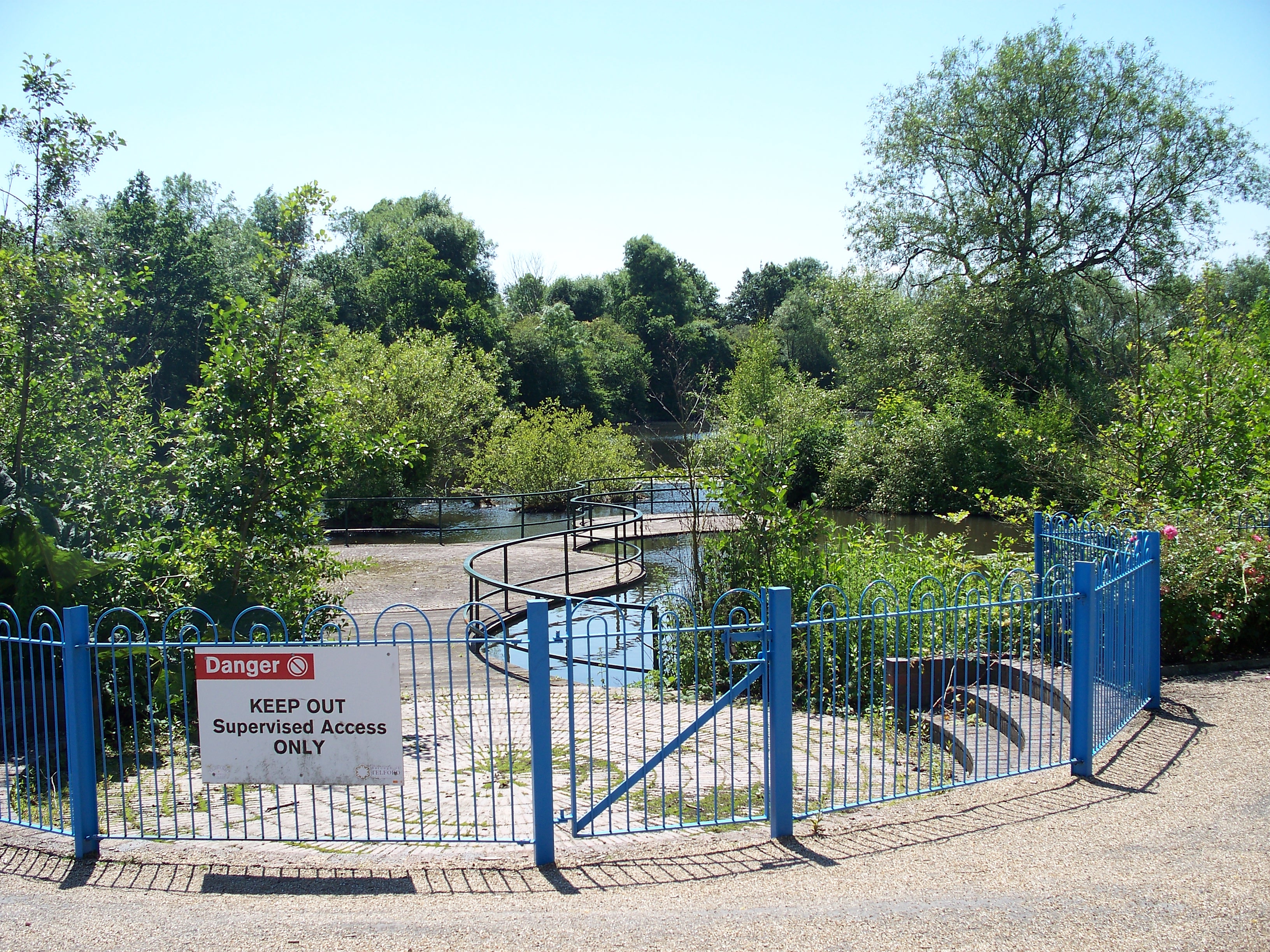
Withy Pool is a freshwater marsh located in the county of Shropshire, England. Situated in a rural area, it is known for its natural beauty and diverse ecosystem. The pool is surrounded by lush greenery and is a popular destination for nature enthusiasts and birdwatchers.

Covering an area of approximately 5 acres, Withy Pool is a shallow body of water with a maximum depth of around 2 meters. It is fed by rainfall and local springs, ensuring a constant supply of freshwater. The pool is home to a variety of aquatic plants, including reeds and water lilies, which provide shelter and food for numerous species of wildlife.

The marshy surroundings of Withy Pool offer a suitable habitat for a wide range of bird species. Visitors can often spot ducks, swans, herons, and kingfishers among the reeds and on the water's surface. The tranquil atmosphere and abundance of wildlife make it an ideal spot for birdwatching and nature photography.

The pool is also home to several species of fish, including perch, roach, and tench, making it a popular spot for anglers. Fishing is permitted with the appropriate licenses, and the calm waters and peaceful surroundings make it a relaxing and enjoyable experience for enthusiasts.

Withy Pool is accessible to the public, with footpaths and viewing areas available. It is located in close proximity to nearby villages, offering visitors the opportunity to explore the surrounding countryside and enjoy the peacefulness of rural Shropshire.

In conclusion, Withy Pool is a picturesque freshwater marsh that offers a rich and diverse ecosystem. It is a haven for birdlife, a fishing spot, and a place of natural beauty that attracts nature lovers and outdoor enthusiasts alike.

If you have any feedback on the listing, please let us know in the comments section below.

Withy Pool Images

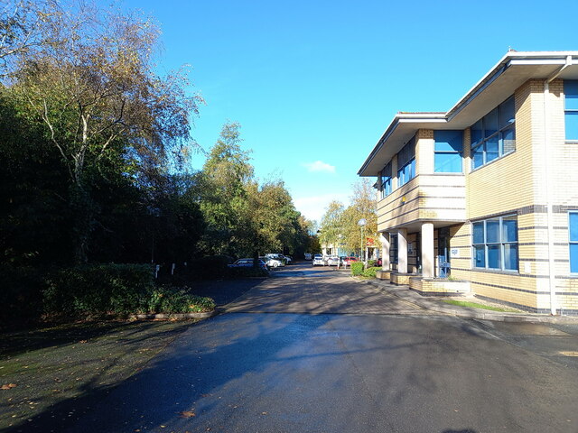
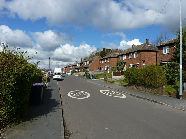
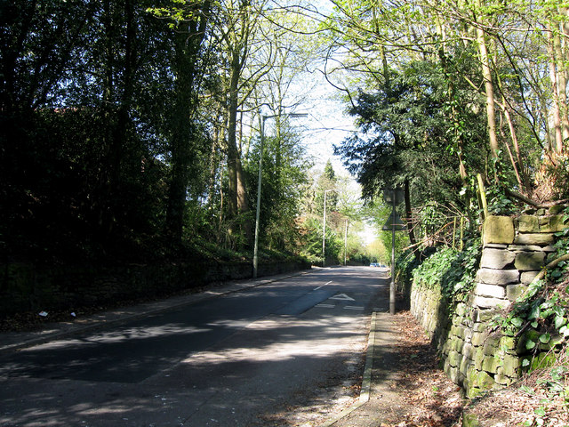
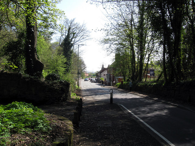
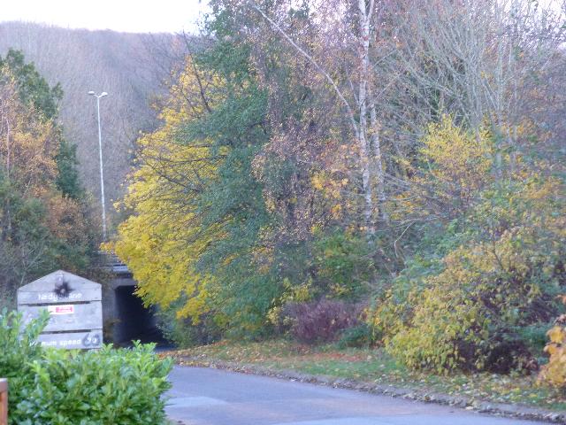
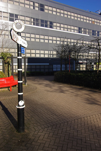
Images are sourced within 2km of 52.669431/-2.4475374 or Grid Reference SJ6908. Thanks to Geograph Open Source API. All images are credited.

Pearson Road - Office units in Central Park The area now occupied by the Central Park business estate was formerly the Snedshill steelworks, part of the Lilleshall Company's operations. By the mid '70s my recollection is that the steelworks had shut, although many of the buildings were still there, and one shed was occupied by 'The Maggot Factory' which used dead farm animals to breed maggots for angling on an industrial scale; it had a very distinctive aroma, but sold maggots by the gallon for pennies if you had the constitution to walk in and just ask.
Pearson Road - Office units in Central Park
The area now occupied by the Central Park business estate was formerly the Snedshill steelworks, part of the Lilleshall Company's operations. By the mid '70s my recollection is that the steelworks had shut, although many of the buildings were still there, and one shed was occupied by 'The Maggot Factory' which used dead farm animals to breed maggots for angling on an industrial scale; it had a very distinctive aroma, but sold maggots by the gallon for pennies if you had the constitution to walk in and just ask.
Looking west along Fifth Avenue Probably not the one you're thinking of; this is the REALLY famous Fifth Avenue in Ketley Bank!
Looking west along Fifth Avenue
Probably not the one you're thinking of; this is the REALLY famous Fifth Avenue in Ketley Bank!
Shared pathway alongside the A442 Part of the extensive network of shared walk/cycleways that are laced through Telford. This one is well hidden by autumn leaf-fall on this occasion.
Shared pathway alongside the A442
Part of the extensive network of shared walk/cycleways that are laced through Telford. This one is well hidden by autumn leaf-fall on this occasion.
Open ground and play area in Ketley Bank
Play area between First and Third Avenues The same playground that's seen in the distance in <a href="https://www.geograph.org.uk/photo/7662107">SJ6910 : Open ground and play area in Ketley Bank</a>
Play area between First and Third Avenues
The same playground that's seen in the distance in SJ6910 : Open ground and play area in Ketley Bank
Shifnal Rd. Priorslee. Telford Looking Northwest towards Telford Centre, this was once part of Thomas Telford's mighty "Holyhead Road" this stretch has been truncated by the M54 motorway and now is a dead end.
Shifnal Rd. Priorslee. Telford
Looking Northwest towards Telford Centre, this was once part of Thomas Telford's mighty "Holyhead Road" this stretch has been truncated by the M54 motorway and now is a dead end.
Shifnal Rd. Priorslee. Telford Once part of Thomas Telford's mighty "Holyhead Road" this stretch has now been truncated by the M54 motorway and is a dead end leading to Wolverhampton's University Telford campus and the Ricoh electronics factory.
Shifnal Rd. Priorslee. Telford
Once part of Thomas Telford's mighty "Holyhead Road" this stretch has now been truncated by the M54 motorway and is a dead end leading to Wolverhampton's University Telford campus and the Ricoh electronics factory.
Telford International Hotel Typical modern sleeping facility.
Telford International Hotel
Typical modern sleeping facility.
St. Quentin Roundabout Taken from the entrance to the nearby hotel.
St. Quentin Roundabout
Taken from the entrance to the nearby hotel.
M54 westbound in Telford
M54, eastbound The M54 is a 23 mile east-west motorway in Shropshire and Staffordshire. It is a two-lane dual carriageway for the majority of its length, with sections of three-lane.
The M54 spur connects the M6 motorway near Essington, Staffordshire with the A5 trunk road at Wellington, Shropshire. The motorway forms part of the route to North Wales, roughly following the path of the Roman Watling Street and the A5 north-westwards, towards the port of Holyhead.
M54, eastbound
The M54 is a 23 mile east-west motorway in Shropshire and Staffordshire. It is a two-lane dual carriageway for the majority of its length, with sections of three-lane. The M54 spur connects the M6 motorway near Essington, Staffordshire with the A5 trunk road at Wellington, Shropshire. The motorway forms part of the route to North Wales, roughly following the path of the Roman Watling Street and the A5 north-westwards, towards the port of Holyhead.
Bridge over the M54 The M54 is a 23 mile east-west motorway in Shropshire and Staffordshire. It is a two-lane dual carriageway for the majority of its length, with sections of three-lane.
The M54 spur connects the M6 motorway near Essington, Staffordshire with the A5 trunk road at Wellington, Shropshire. The motorway forms part of the route to North Wales, roughly following the path of the Roman Watling Street and the A5 north-westwards, towards the port of Holyhead.
Bridge over the M54
The M54 is a 23 mile east-west motorway in Shropshire and Staffordshire. It is a two-lane dual carriageway for the majority of its length, with sections of three-lane. The M54 spur connects the M6 motorway near Essington, Staffordshire with the A5 trunk road at Wellington, Shropshire. The motorway forms part of the route to North Wales, roughly following the path of the Roman Watling Street and the A5 north-westwards, towards the port of Holyhead.
Footbridge over the M54 The M54 is a 23 mile east-west motorway in Shropshire and Staffordshire. It is a two-lane dual carriageway for the majority of its length, with sections of three-lane.
The M54 spur connects the M6 motorway near Essington, Staffordshire with the A5 trunk road at Wellington, Shropshire. The motorway forms part of the route to North Wales, roughly following the path of the Roman Watling Street and the A5 north-westwards, towards the port of Holyhead.
Footbridge over the M54
The M54 is a 23 mile east-west motorway in Shropshire and Staffordshire. It is a two-lane dual carriageway for the majority of its length, with sections of three-lane. The M54 spur connects the M6 motorway near Essington, Staffordshire with the A5 trunk road at Wellington, Shropshire. The motorway forms part of the route to North Wales, roughly following the path of the Roman Watling Street and the A5 north-westwards, towards the port of Holyhead.
M54, eastbound The M54 is a 23 mile east-west motorway in Shropshire and Staffordshire. It is a two-lane dual carriageway for the majority of its length, with sections of three-lane.
The M54 spur connects the M6 motorway near Essington, Staffordshire with the A5 trunk road at Wellington, Shropshire. The motorway forms part of the route to North Wales, roughly following the path of the Roman Watling Street and the A5 north-westwards, towards the port of Holyhead.
M54, eastbound
The M54 is a 23 mile east-west motorway in Shropshire and Staffordshire. It is a two-lane dual carriageway for the majority of its length, with sections of three-lane. The M54 spur connects the M6 motorway near Essington, Staffordshire with the A5 trunk road at Wellington, Shropshire. The motorway forms part of the route to North Wales, roughly following the path of the Roman Watling Street and the A5 north-westwards, towards the port of Holyhead.
Nedge Lane, Telford Leading under the A442 towards Nedge Farm.
Nedge Lane, Telford
Leading under the A442 towards Nedge Farm.
Darby House, Telford Local government offices including the housing office.
Darby House, Telford
Local government offices including the housing office.
Bridge to Telford Central Station This long footbridge connects Telford's shopping centre area with the town's central station, crossing Rampart Way and Queensway.
Bridge to Telford Central Station
This long footbridge connects Telford's shopping centre area with the town's central station, crossing Rampart Way and Queensway.
Signpost in Telford Telford has a collection of these attractive fingerposts directing pedestrians around its modern buildings. This is the way to Telford Central station past the grey council offices.
Signpost in Telford
Telford has a collection of these attractive fingerposts directing pedestrians around its modern buildings. This is the way to Telford Central station past the grey council offices.
Show me another place!

Withy Pool is located at Grid Ref: SJ6908 (Lat: 52.669431, Lng: -2.4475374)

Unitary Authority: Telford and Wrekin

Police Authority: West Mercia

What 3 Words

///outraged.solve.unopposed. Near Telford, Shropshire

Related Wikis

South Telford Heritage Trail

The South Telford Heritage Trail is a circular, waymarked walking route that passes by forty-nine heritage sites in the English town of Telford. ��2�...

Telford Ice Rink

Telford Ice Rink is located in the £250m Southwater Complex in Telford, Shropshire, England. The ice rink is home to National Ice Hockey League team the...

Telford Town Park

Telford Town Park is a park and Local Nature Reserve in Telford in Shropshire. In 2015, it was voted "UK's Best Park" in the inaugural public competition...
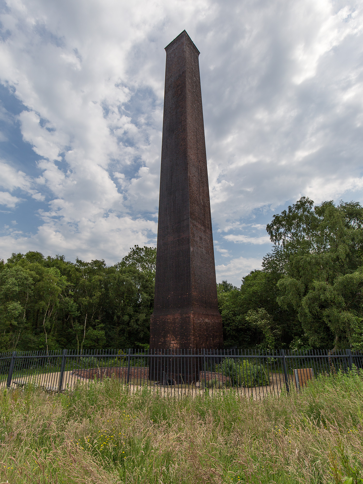
Stirchley Chimney

Stirchley Chimney is a chimney located in Telford Town Park. The chimney also marks a notable waypoint on the South Telford Heritage Trail. Measuring 209...

Nearby Amenities

Located within 500m of 52.669431,-2.4475374
Randlay Pool
Information: board
Tourism: information
Lat/Long: 52.668259/-2.4407704
Bench
Source: survey
Lat/Long: 52.6672628/-2.4418735
Bicycle Parking
Bicycle Parking: stands
Capacity: 8
Covered: no
Lat/Long: 52.6717466/-2.4489639
Wonderland Car Park
Leisure: playground
Source: OS_OpenData_StreetView
Lat/Long: 52.6676294/-2.4468049
Turning Circle
Lat/Long: 52.6734829/-2.4489306
The Bicycle Hub
Shop: bicycle
Lat/Long: 52.6708206/-2.4476448
Crossing
Crossing: zebra
Lat/Long: 52.6725873/-2.4446361
Crossing
Crossing: zebra
Lat/Long: 52.6725612/-2.4445454
Crossing
Crossing: zebra
Lat/Long: 52.6727514/-2.4444426
Crossing
Crossing: zebra
Lat/Long: 52.6729727/-2.4452356
Premier Inn (Telford International Centre)
Addr City: Telford
Addr Housename: Unit 8 Southwater Square
Addr Postcode: TF3 4DE
Addr Street: Southwater Way
Brand: Premier Inn
Brand Wikidata: Q2108626
Brand Wikipedia: en:Premier Inn
Contact Website: https://www.premierinn.com/gb/en/hotels/england/shropshire/telford/telford-international-centre.html
Internet Access: wlan
Internet Access Fee: customers
Internet Access Operator: Virgin Media
Internet Access Ssid: Premier Inn Free Wi-Fi
Operator: Premier Inn
Tourism: hotel
Lat/Long: 52.6736302/-2.4473297
Turning Circle
Lat/Long: 52.6728973/-2.4453619
Pub
Wrekin Giant
Addr City: Telford
Addr Postcode: TF3 4JG
Addr Street: Southwater Way
Brand: Hungry Horse
Brand Wikidata: Q5943510
Fhrs Id: 740207
Source Addr: FHRS Open Data
Lat/Long: 52.6733548/-2.4479576
Library
Southwater Library
Opening Hours: Mo-Sa 10:00-17:00; Su off
Wheelchair: yes
Lat/Long: 52.673504/-2.4480246
Restaurant
Nando's
Addr City: Telford
Addr Postcode: TF3 4JG
Addr Street: Southwater Way
Brand: Nando's
Brand Wikidata: Q3472954
Brand Wikipedia: en:Nando's
Cuisine: chicken;portuguese
Fhrs Id: 716033
Source Addr: FHRS Open Data
Website: https://www.nandos.co.uk/restaurants/telford
Lat/Long: 52.6737601/-2.447698
Restaurant
Bella Italia
Addr City: Telford
Addr Postcode: TF3 4JG
Addr Street: Southwater Way
Brand: Bella Italia
Brand Wikidata: Q4883362
Brand Wikipedia: en:Bella Italia
Cuisine: italian
Fhrs Id: 1275848
Source Addr: FHRS Open Data
Lat/Long: 52.6738975/-2.4476485
Cinema
Cineworld
Addr City: Telford
Addr Postcode: TF3 4JG
Addr Street: Southwater Way
Brand: Cineworld
Brand Wikidata: Q5120901
Brand Wikipedia: en:Cineworld
Fhrs Id: 716037
Source Addr: FHRS Open Data
Toilets Wheelchair: yes
Website: https://www.cineworld.co.uk/cinemas/telford/085
Wheelchair: yes
Lat/Long: 52.6736995/-2.4484983
Restaurant
Miller & Carter
Addr City: Telford
Addr Postcode: TF3 4JG
Addr Street: Southwater Way
Brand: Miller & Carter
Brand Wikidata: Q87067401
Contact Website: https://www.millerandcarter.co.uk/restaurants/east-and-west-midlands/millerandcartertelford
Cuisine: steak
Fhrs Id: 1069235
Source Addr: FHRS Open Data
Wheelchair: yes
Lat/Long: 52.6738411/-2.4483768
Restaurant
Coal Bar And Grill
Lat/Long: 52.673681/-2.4475246
Bar
Albert's Shed
Toilets Wheelchair: no
Wheelchair: limited
Lat/Long: 52.6734817/-2.4464777
Restaurant
Wildwood
Addr City: Telford
Addr Postcode: TF3 4BF
Addr Street: Park Avenue
Branch: Kitchens
Brand: Wildwood
Brand Wikidata: Q85300869
Check Date: 2017-10-18
Cuisine: grill;pasta;pizza
Fhrs Id: 760164
Source Addr: FHRS Open Data
Lat/Long: 52.6735729/-2.4468544
Taxi
Southwater Pickup - Cineworld
Lat/Long: 52.6735492/-2.448974
Southwater
Place: quarter
Lat/Long: 52.6739021/-2.4478302
Taxi
Southwater Pickup - Ice Rink
Lat/Long: 52.6729736/-2.445488
Telford 10 Pin
Leisure: bowling_alley
Opening Hours: Mo,We 10:00-23:00; Tu,Th,Fr 10:00-24:00; Sa 09:00-24:00; Su 09:00-23:00
Lat/Long: 52.6736869/-2.4469503
Barrier: bollard
Lat/Long: 52.6693816/-2.4430946
Restaurant
The Olive Tree Restaurant
Lat/Long: 52.6704549/-2.4428442
Travelodge - Telford Southwater
Addr City: Telford
Addr Postcode: TF3 4BF
Addr Street: Park Avenue
Brand: Travelodge
Brand Wikidata: Q9361374
Brand Wikipedia: en:Travelodge UK
Fhrs Authority: Telford and Wrekin Council
Fhrs Id: 1057155
Fhrs Local Authority Id: 18/00125/COMM
Internet Access: wlan
Internet Access Fee: customers
Internet Access Ssid: Travelodge WiFi
Source Addr: FHRS Open Data
Tourism: hotel
Website: https://www.travelodge.co.uk/hotels/643/Telford-hotel
Lat/Long: 52.6730884/-2.4466078
Parking
Access: yes
Fee: yes
Parking: multi-storey
Lat/Long: 52.6734737/-2.4450323
Generator Method: photovoltaic
Generator Output Electricity: yes
Generator Source: solar
Generator Type: solar_photovoltaic_panel
Location: roof
Power: generator
Lat/Long: 52.6687176/-2.4543473
Events Venue
QE11 Arena
Note: Outdoor arena/concert arena with capacity of 10000 people.
Lat/Long: 52.6710469/-2.4447445
Tourism: viewpoint
Lat/Long: 52.6692656/-2.4500417
Bench
Lat/Long: 52.6729026/-2.446647
Bench
Lat/Long: 52.673053/-2.4470739
Bench
Lat/Long: 52.6731713/-2.4475251
Bench
Lat/Long: 52.6722395/-2.4470617
Bench
Lat/Long: 52.672343/-2.447391
Bench
Lat/Long: 52.6724934/-2.4476105
Bench
Lat/Long: 52.6727424/-2.4478626
Bench
Lat/Long: 52.671368/-2.4475728
Bench
Lat/Long: 52.6715279/-2.447463
Bench
Lat/Long: 52.6716856/-2.4473126
Bench
Lat/Long: 52.6715568/-2.4468649
Bench
Lat/Long: 52.6713487/-2.4467269
Bench
Lat/Long: 52.6710804/-2.4467481
Shelter
Shelter Type: picnic_shelter
Lat/Long: 52.6712033/-2.4476816
Leisure: picnic_table
Lat/Long: 52.6720514/-2.4476185
Leisure: picnic_table
Lat/Long: 52.6721229/-2.4466596
Isaiah's Stone
Natural: stone
Lat/Long: 52.6729177/-2.4501953
Tourism: picnic_site
Lat/Long: 52.6685381/-2.4407612
Direction: both
Traffic Calming: bump
Lat/Long: 52.6704014/-2.4539196
Playground: slide
Lat/Long: 52.6713973/-2.4478953
Playground: slide
Lat/Long: 52.6715162/-2.4478282
Playground: excavator
Lat/Long: 52.6716161/-2.4475466
Playground: excavator
Lat/Long: 52.6716237/-2.4476029
Playground: excavator
Lat/Long: 52.6716012/-2.4475553
Playground: excavator
Lat/Long: 52.6716087/-2.4476116
Leisure: picnic_table
Lat/Long: 52.6710159/-2.4483734
Leisure: picnic_table
Lat/Long: 52.6710358/-2.4484196
Leisure: picnic_table
Lat/Long: 52.6709951/-2.4484625
Leisure: picnic_table
Lat/Long: 52.6709785/-2.4484196
Leisure: picnic_table
Lat/Long: 52.6709581/-2.4483821
Leisure: picnic_table
Lat/Long: 52.6706324/-2.4480005
Leisure: picnic_table
Lat/Long: 52.6706141/-2.4480321
The data included in this document is from www.openstreetmap.org. The data is made available under ODbL.

Have you been to Withy Pool?

Leave your review of Withy Pool below (or comments, questions and feedback).