Spring Pond
Lake, Pool, Pond, Freshwater Marsh in Somerset South Somerset
England
Spring Pond
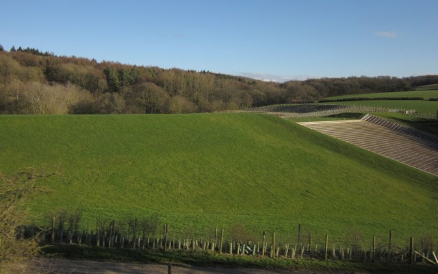
Spring Pond is a freshwater body located in Somerset, a county in southwest England. Nestled amidst the picturesque countryside, it serves as a popular destination for locals and tourists alike. Spanning an area of approximately 20 acres, this idyllic pond is surrounded by lush greenery and offers a tranquil retreat from the hustle and bustle of city life.
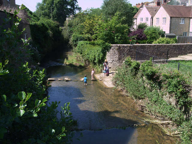
The pond is fed by natural springs, giving it a constant flow of clear, freshwater. Its crystal-clear waters provide a haven for a wide variety of aquatic flora and fauna. Visitors can expect to see an array of vibrant water lilies, reeds, and rushes, which add to the pond's natural beauty. These plants also provide a habitat for numerous species of fish, such as carp and perch, making it a popular spot for anglers.
Spring Pond is not only a haven for aquatic life but also attracts a rich diversity of bird species. Birdwatchers can spot ducks, herons, and kingfishers, among others, either gliding gracefully across the water or perched on the surrounding trees.
The pond's surroundings offer recreational opportunities for visitors, with several well-maintained footpaths and picnic areas. Families often enjoy leisurely walks around the pond, taking in the serene atmosphere and enjoying the picturesque views. Additionally, the pond's shallow areas are suitable for paddling and offer a safe space for children to enjoy the water.
Overall, Spring Pond in Somerset is a captivating freshwater body that provides a harmonious blend of natural beauty and recreational opportunities. Whether one seeks solitude, birdwatching, fishing, or simply a peaceful day out, Spring Pond offers an enchanting experience for all who visit.
If you have any feedback on the listing, please let us know in the comments section below.
Spring Pond Images
Images are sourced within 2km of 51.108301/-2.4329142 or Grid Reference ST6934. Thanks to Geograph Open Source API. All images are credited.

Spring Pond is located at Grid Ref: ST6934 (Lat: 51.108301, Lng: -2.4329142)
Administrative County: Somerset
District: South Somerset
Police Authority: Avon and Somerset
What 3 Words
///bets.retailing.pods. Near Redlynch, Somerset
Nearby Locations
Related Wikis

Cogley Wood
Cogley Wood (grid reference ST703345) is a 60.7 hectare biological Site of Special Scientific Interest east of Bruton in Somerset, notified in 1987. The...
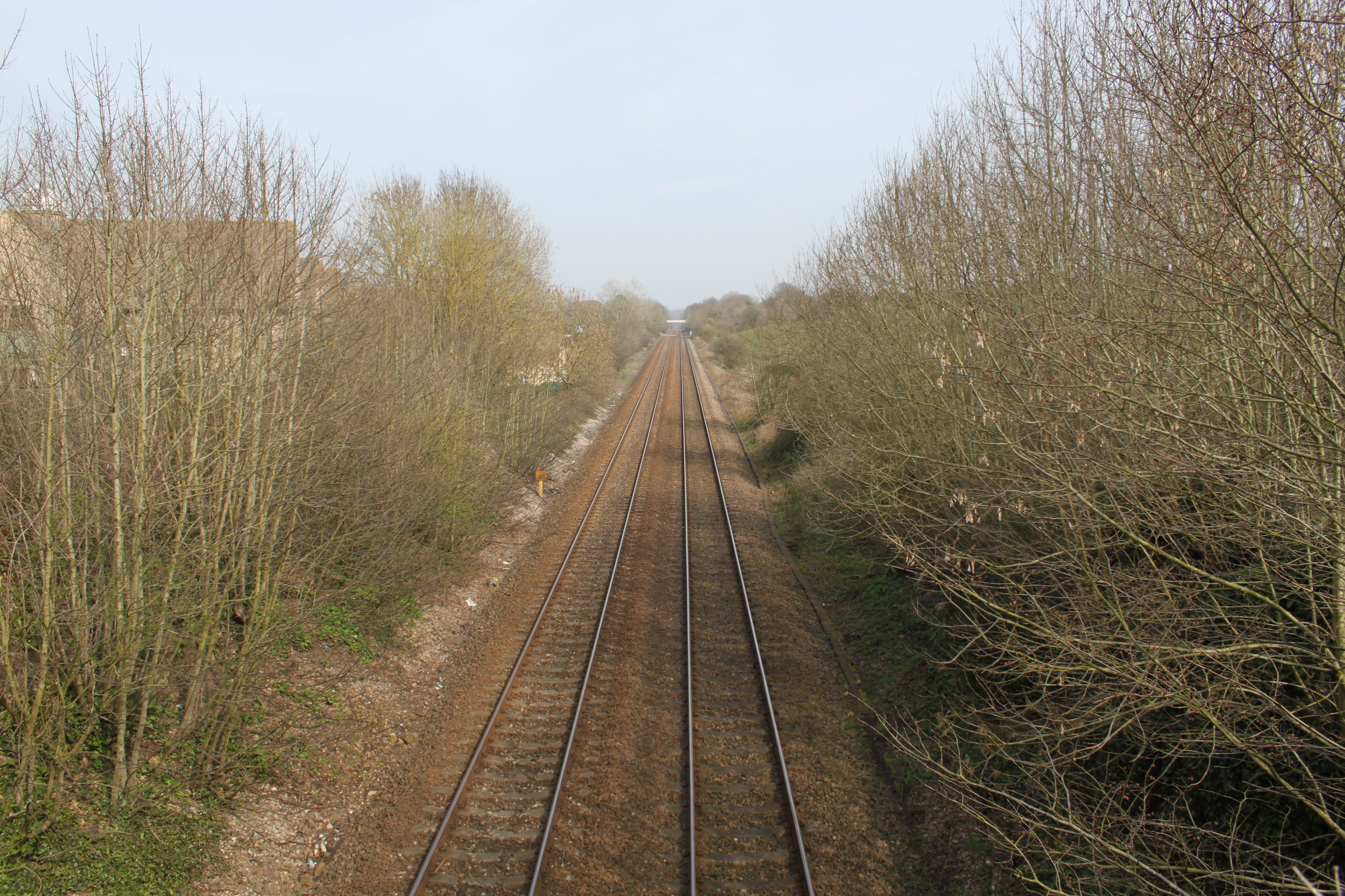
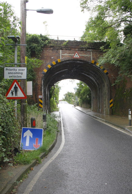
Bruton railway cutting
Bruton Railway Cutting is a 1.7 hectare geological Site of Special Scientific Interest at Bruton in Somerset, notified in 1971. The geology exposed in...

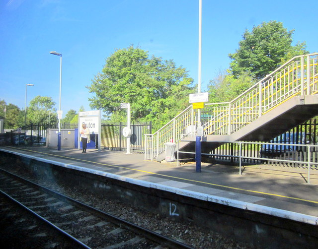
Bruton railway station
Bruton railway station serves a largely rural area in the county of Somerset in England. The station is situated in the market town of Bruton. The station...

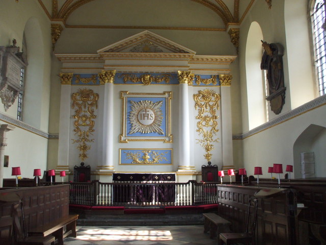
Church of St Peter, Redlynch
The Anglican Church of St Peter in Redlynch, Somerset, England was built in about 1750. It is a Grade II* listed building. == History == The church was...
Redlynch, Somerset
Redlynch is a village and former manor in the civil parish of Bruton, in the South Somerset district of Somerset, England. The 18th-century church and...
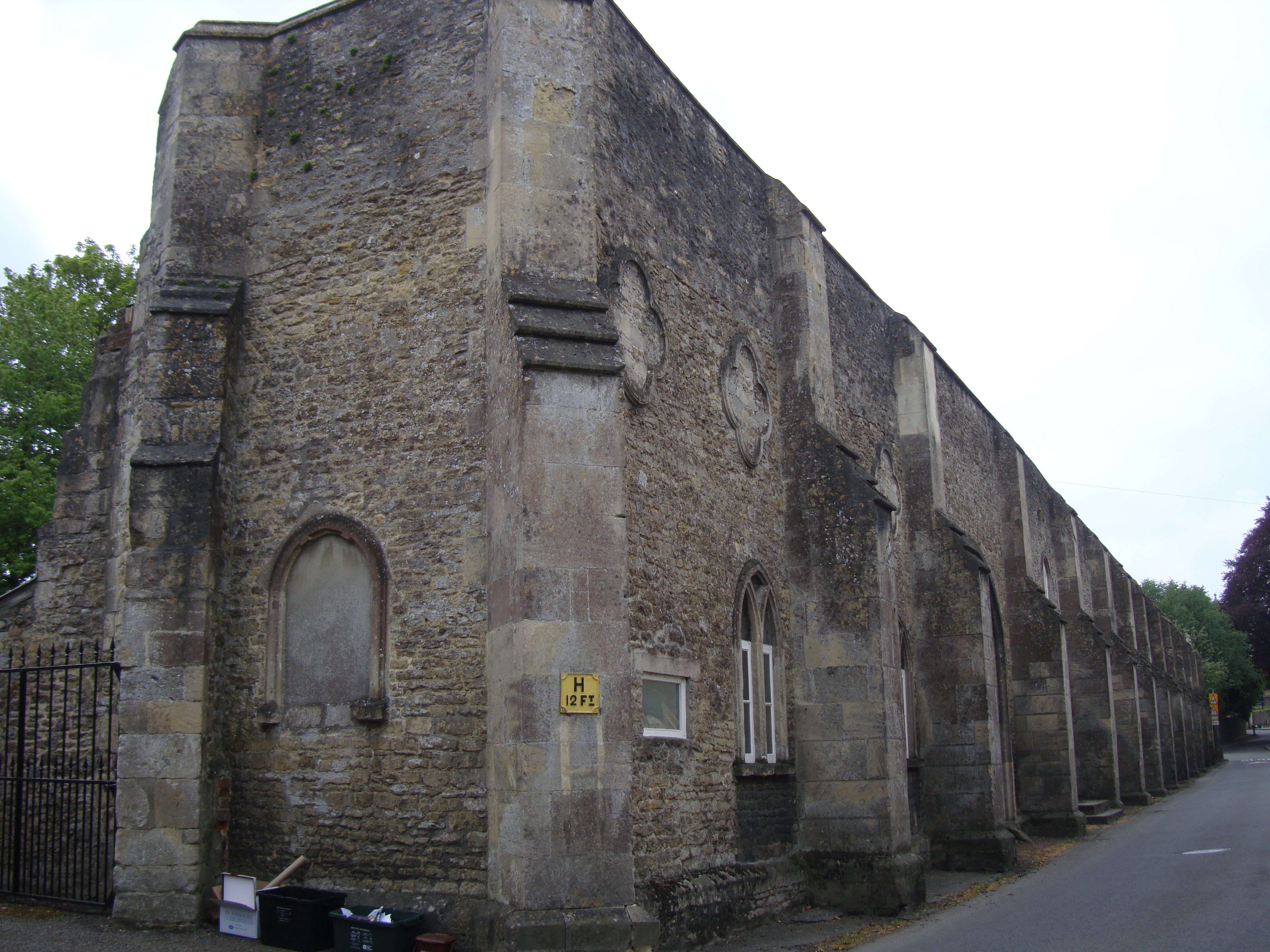
Bruton Abbey
Bruton Abbey in Bruton, Somerset was founded as a house of Augustinian canons in about 1127, and became an abbey in 1511, shortly before its dissolution...

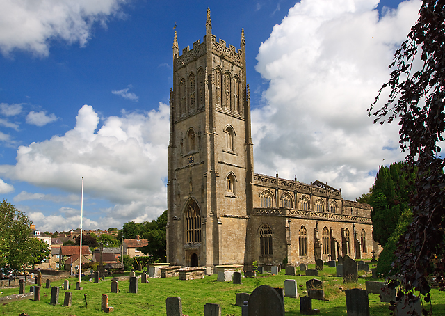
St Mary's Church, Bruton
The Church of St Mary in Bruton, Somerset, England was largely built in the 14th century. Like many Somerset churches, it has a very fine tower; less usually...
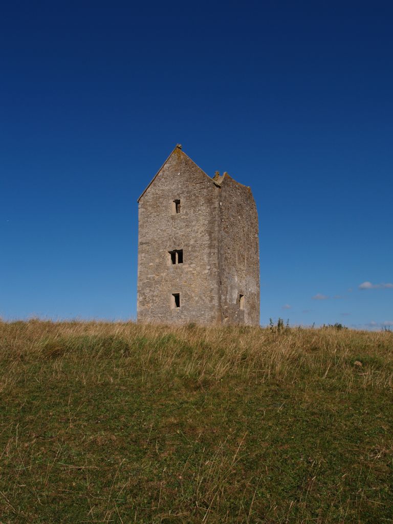
Bruton Dovecote
The Bruton Dovecote is a limestone tower that was built between the 15th and 17th century in Bruton in the English county of Somerset. The structure was...
Nearby Amenities
Located within 500m of 51.108301,-2.4329142Have you been to Spring Pond?
Leave your review of Spring Pond below (or comments, questions and feedback).