Bruton
Civil Parish in Somerset South Somerset
England
Bruton
Bruton, Somerset is a civil parish located in the South West region of England. Situated in the district of South Somerset, it is a small town with a population of around 3,000 residents. The town is nestled in the picturesque Somerset countryside and is surrounded by rolling hills and beautiful landscapes.
Bruton has a rich history dating back to Roman times, with evidence of settlements and a Roman road that passed through the area. In the medieval period, the town became an important market town and developed around the 12th-century Bruton Abbey. The remains of the abbey can still be seen today, along with other historic buildings such as the 14th-century Packhorse Bridge and the 16th-century Bruton Castle.
Today, Bruton is a vibrant community with a range of amenities and attractions. The town center is home to a variety of independent shops, cafes, and restaurants, providing a unique and charming shopping experience. The community is also known for its strong arts scene, with the renowned Hauser & Wirth art gallery and the Bruton Art Factory showcasing contemporary art exhibitions.
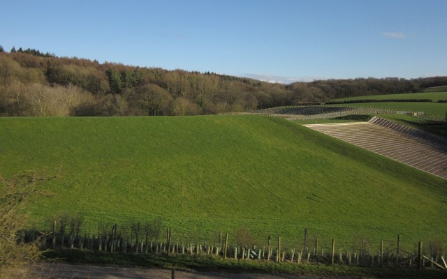
Nature lovers can enjoy the scenic beauty of the surrounding countryside, with numerous walking and cycling trails offering stunning views of the Somerset countryside. Additionally, the town is home to King's School, a prestigious independent boarding school founded in 1519.
Overall, Bruton is a charming and historic town that offers a mix of cultural attractions, natural beauty, and a strong sense of community.
If you have any feedback on the listing, please let us know in the comments section below.
Bruton Images
Images are sourced within 2km of 51.109776/-2.43677 or Grid Reference ST6934. Thanks to Geograph Open Source API. All images are credited.

Bruton is located at Grid Ref: ST6934 (Lat: 51.109776, Lng: -2.43677)
Administrative County: Somerset
District: South Somerset
Police Authority: Avon and Somerset
What 3 Words
///slanting.asking.september. Near Bruton, Somerset
Nearby Locations
Related Wikis
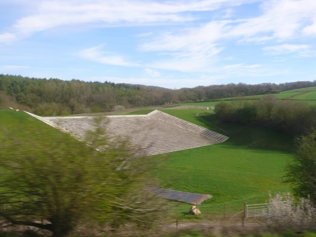
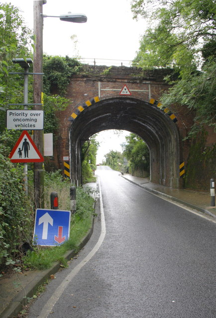
Bruton railway cutting
Bruton Railway Cutting is a 1.7 hectare geological Site of Special Scientific Interest at Bruton in Somerset, notified in 1971. The geology exposed in...

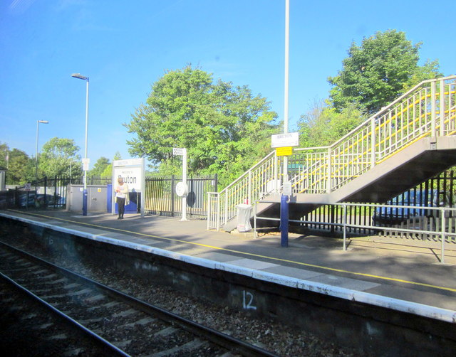
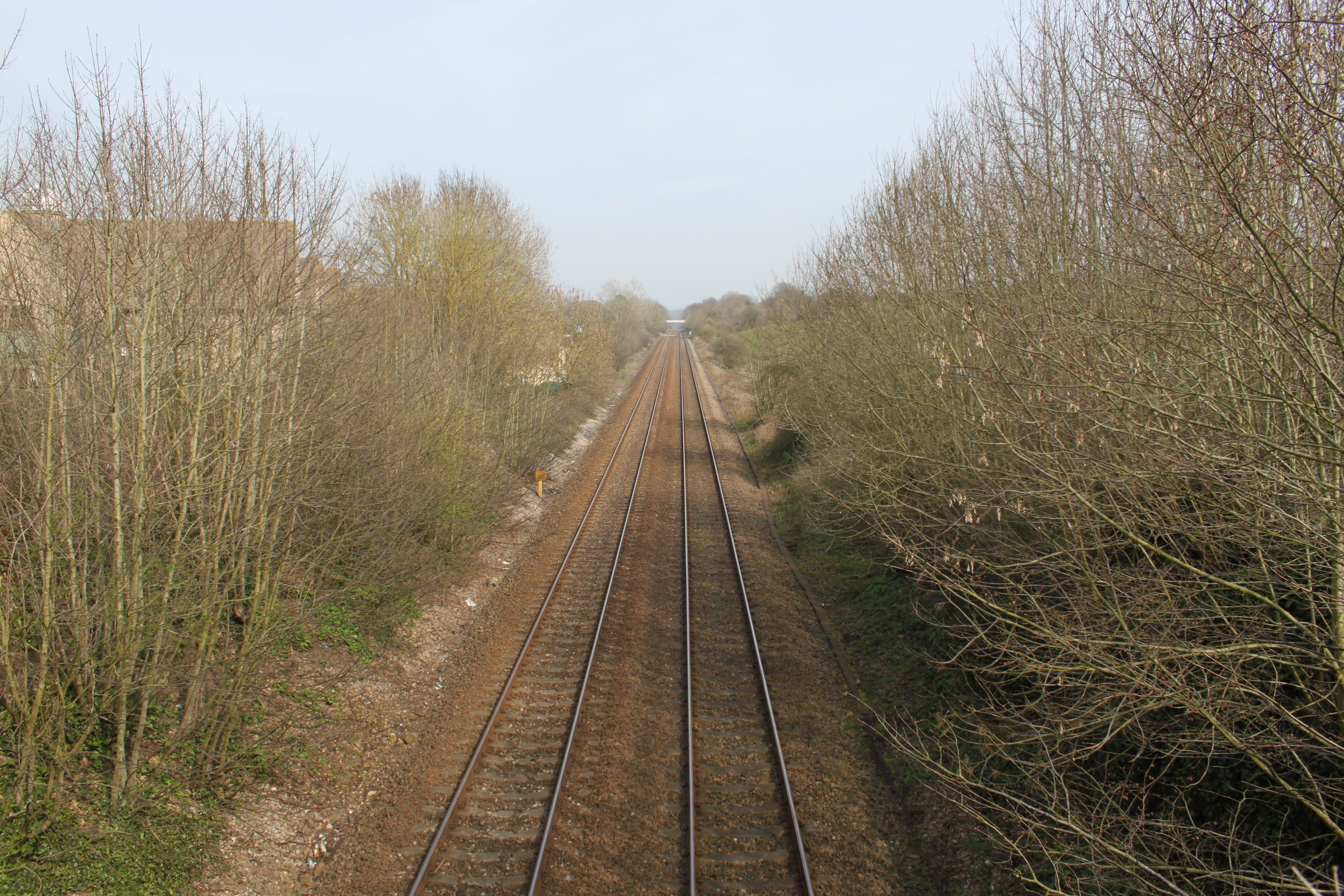
Bruton railway station
Bruton railway station serves a largely rural area in the county of Somerset in England. The station is situated in the market town of Bruton. The station...

Cogley Wood
Cogley Wood (grid reference ST703345) is a 60.7 hectare biological Site of Special Scientific Interest east of Bruton in Somerset, notified in 1987. The...
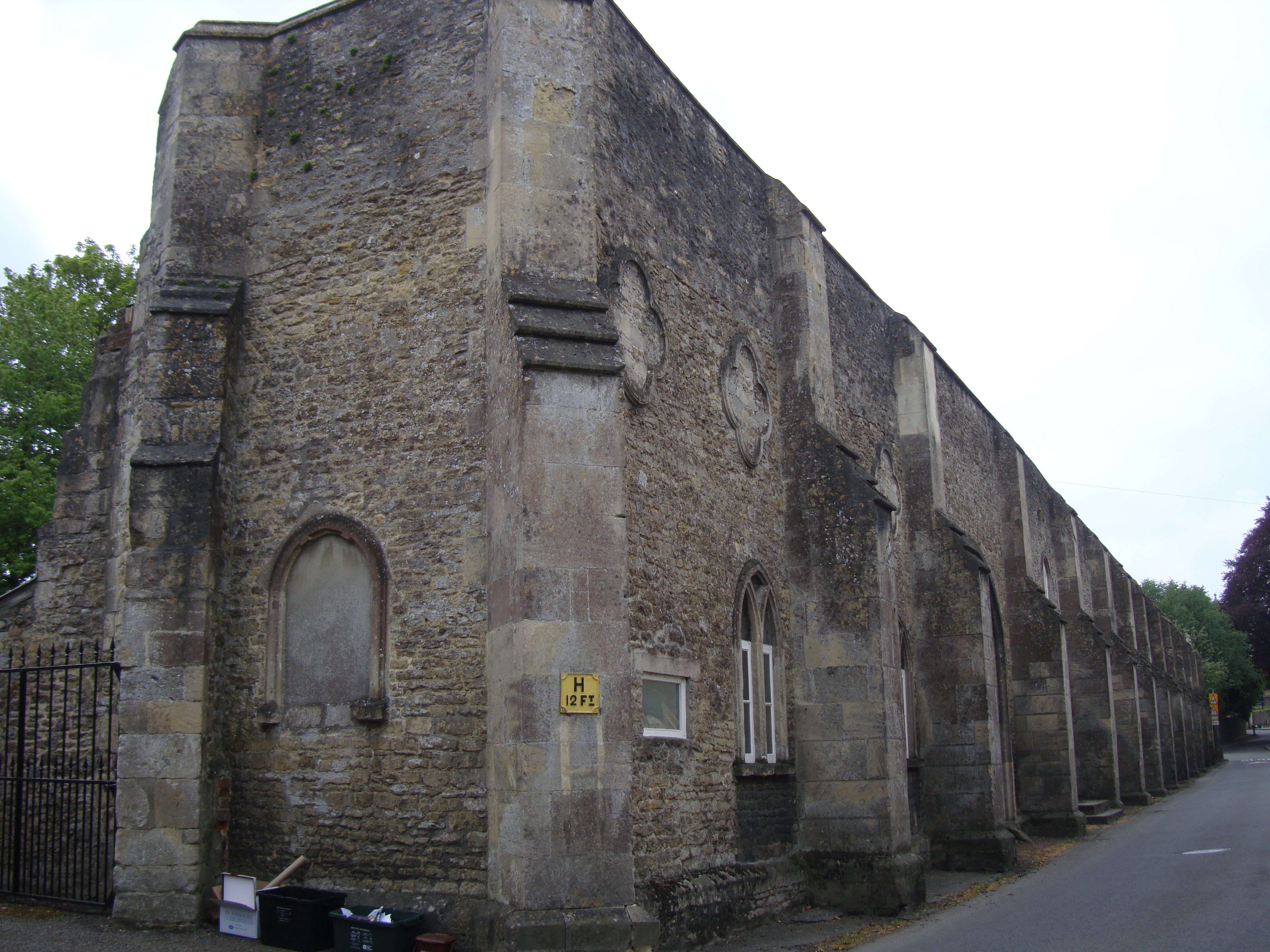
Bruton Abbey
Bruton Abbey in Bruton, Somerset was founded as a house of Augustinian canons in about 1127, and became an abbey in 1511, shortly before its dissolution...

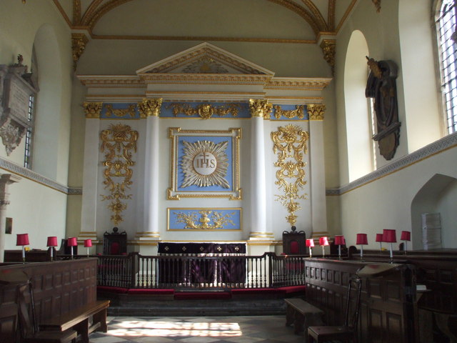
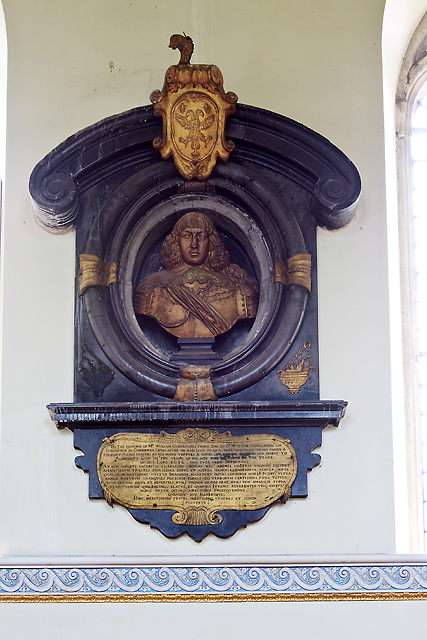
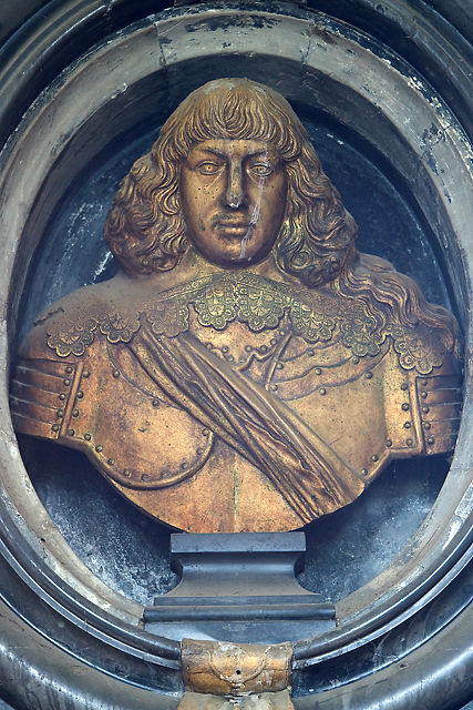
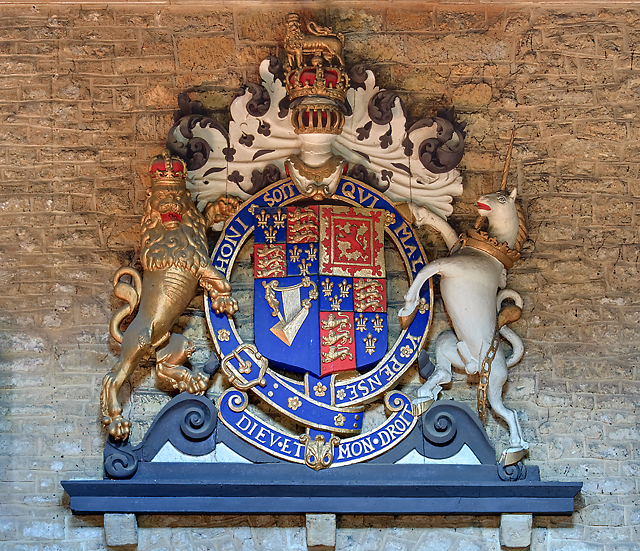
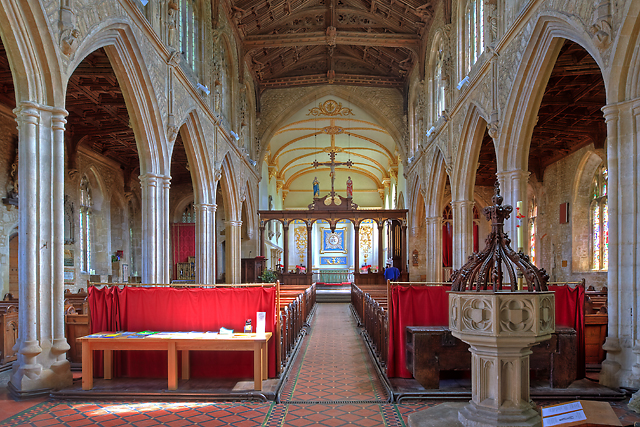
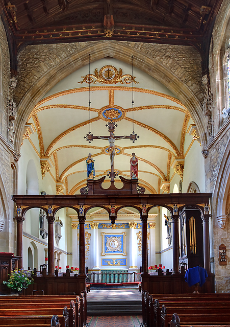
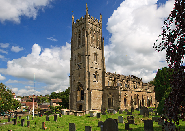
St Mary's Church, Bruton
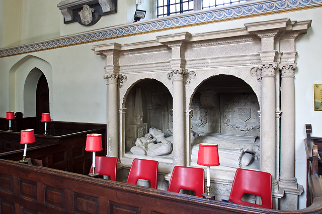
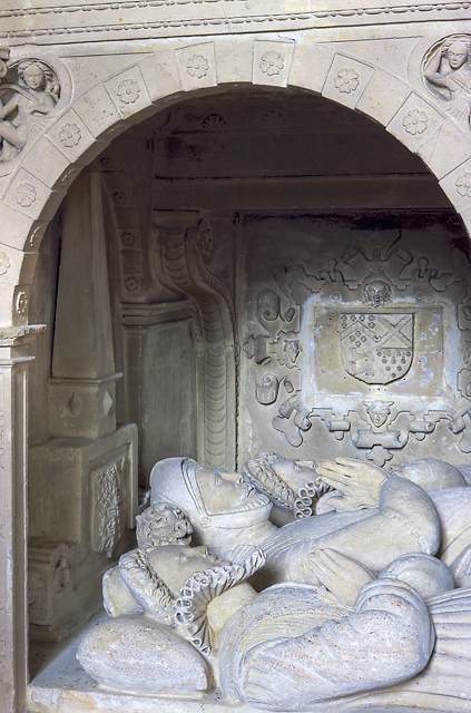
The Church of St Mary in Bruton, Somerset, England was largely built in the 14th century. Like many Somerset churches, it has a very fine tower; less usually...
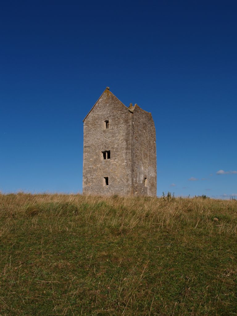
Bruton Dovecote
The Bruton Dovecote is a limestone tower that was built between the 15th and 17th century in Bruton in the English county of Somerset. The structure was...

Bruton
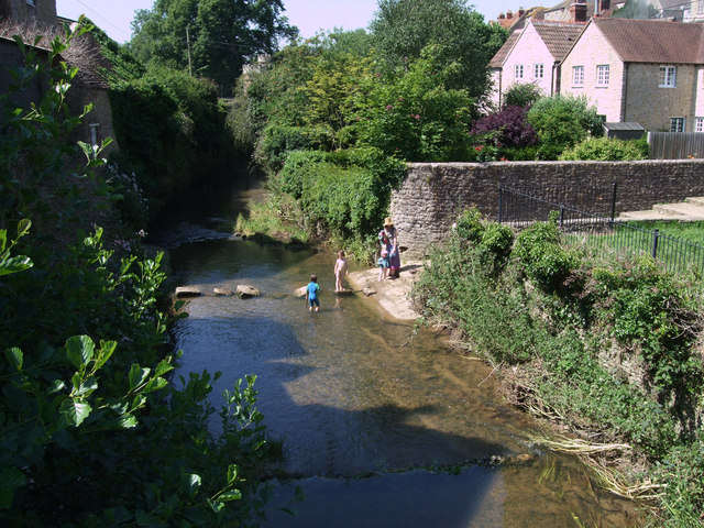
Bruton ( BROO-tən) is a market town, electoral ward, and civil parish in Somerset, England, on the River Brue and the A359 between Frome and Yeovil. It...
King's School, Bruton
King's Bruton is an independent fully co-educational secondary boarding and day school in the English public school tradition located in Bruton, Somerset...
Nearby Amenities
Located within 500m of 51.109776,-2.43677Have you been to Bruton?
Leave your review of Bruton below (or comments, questions and feedback).