Brushford
Civil Parish in Somerset Somerset West and Taunton
England
Brushford

Brushford is a civil parish located in the county of Somerset, England. It is situated approximately 7 miles north of the town of Dulverton and 5 miles west of the town of Wiveliscombe. The parish covers an area of around 1,100 acres and is home to a small population of approximately 200 residents.
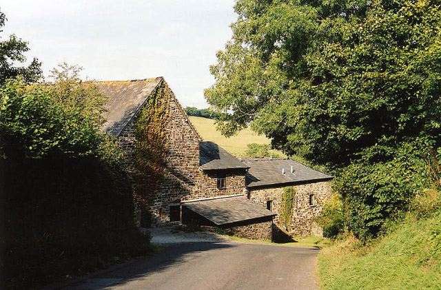
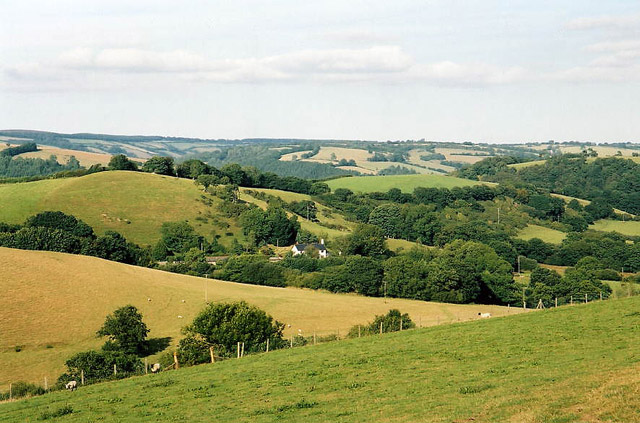
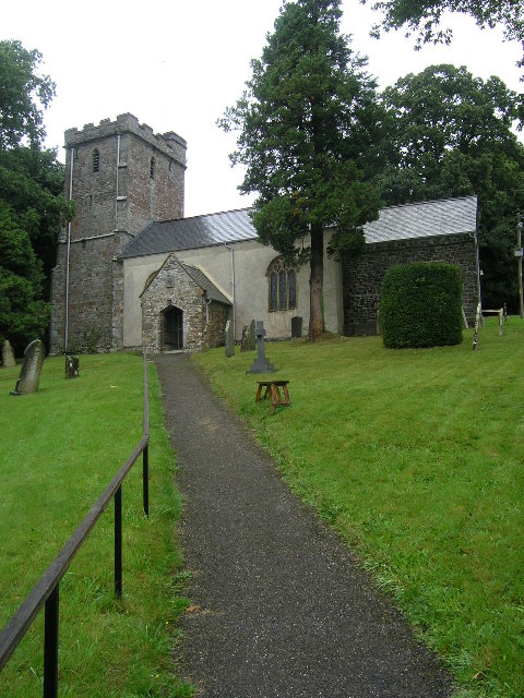
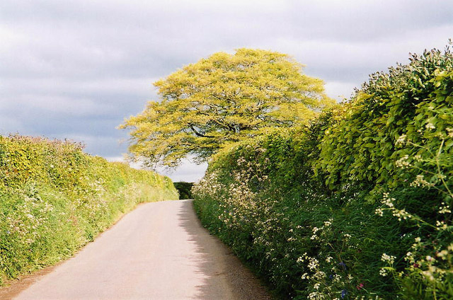
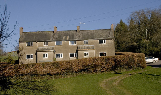
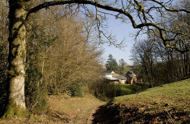
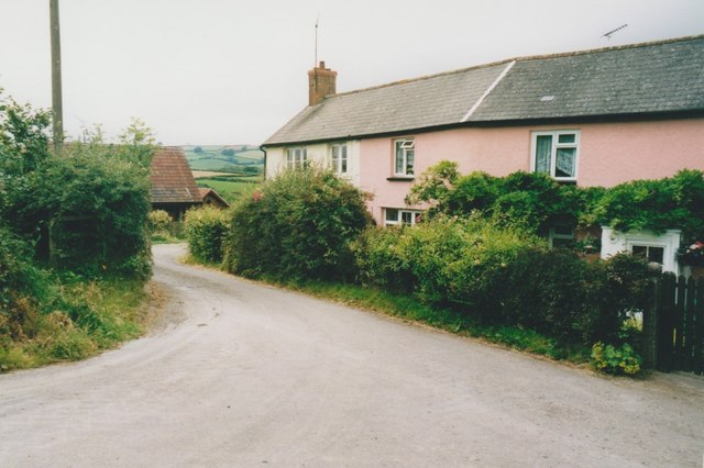
The village of Brushford itself is a charming rural settlement with a rich history dating back to the Domesday Book. It is characterized by a mix of traditional stone-built cottages and more modern houses. The parish is surrounded by picturesque countryside, with rolling hills and fields dominating the landscape.
Despite its small size, Brushford has a strong community spirit and a range of amenities. These include a village hall, a local pub, and a primary school. The village hall serves as a hub for various social and recreational activities, while the pub offers a gathering place for residents and visitors alike. The primary school provides education for local children up to the age of 11.
The parish is also known for its agricultural heritage, with farming playing a significant role in the local economy. The lush farmland surrounding the village is used for both livestock and arable farming.
Overall, Brushford offers a tranquil and close-knit community in a picturesque countryside setting, making it an attractive place to live for those seeking a rural lifestyle in Somerset.
If you have any feedback on the listing, please let us know in the comments section below.
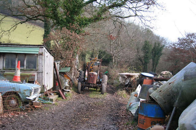
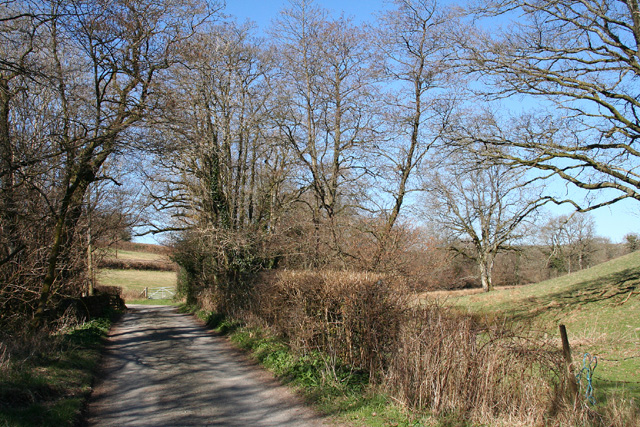
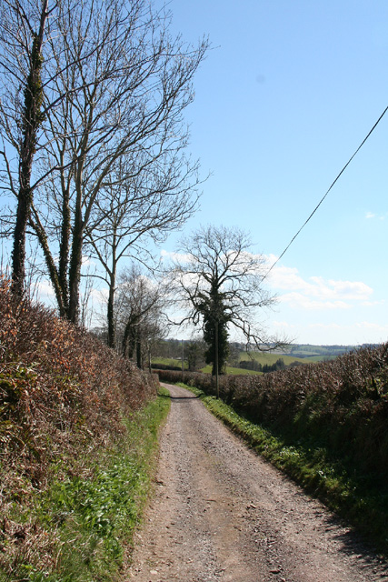
Brushford Images
Images are sourced within 2km of 51.021656/-3.566802 or Grid Reference SS9025. Thanks to Geograph Open Source API. All images are credited.


Brushford is located at Grid Ref: SS9025 (Lat: 51.021656, Lng: -3.566802)
Administrative County: Somerset
District: Somerset West and Taunton
Police Authority: Avon and Somerset
What 3 Words
///whirlwind.flipping.tuxedos. Near Dulverton, Somerset
Nearby Locations
Related Wikis

Briggins Moor
Briggins Moor is a 15.3 hectare biological Site of Special Scientific Interest in Somerset, notified in 1994. The site is south of Dulverton and close...

Combe, Dulverton
Combe is a historic estate in Somerset, England, situated between the town of Dulverton and the village of Brushford. == Descent == === Taunton Priory... ===

Barle Bridge
Barle Bridge is a five span stone arch bridge over the River Barle in Dulverton within the English county of Somerset, which is medieval in origin. It...

Brushford, Somerset
Brushford is a village and civil parish 2 miles (3.2 km) south of Dulverton and 12 miles (19 km) north of Tiverton in Devon, in the Somerset West and Taunton...

Dulverton Town Hall
Dulverton Town Hall is a municipal building in Fore Street in Dulverton, Somerset, England. The building, which is the meeting place of Dulverton Town...

Church of All Saints, Dulverton
The Anglican Church of All Saints in Dulverton, Somerset, England was built in the 15th century and largely rebuilt in the 1850s. It is a Grade II* listed...

Oldberry Castle
Oldberry Castle (sometimes called Oldbury Castle) is an Iron Age hill fort north west of Dulverton, Somerset, England. It lies approximately 0.5 miles...

River Barle
The River Barle runs from the Chains on northern Exmoor, in Somerset, England to join the River Exe at Exebridge, Devon. The river and the Barle Valley...
Have you been to Brushford?
Leave your review of Brushford below (or comments, questions and feedback).