Brushford

Civil Parish in Devon Mid Devon

England

Brushford

Ordnance Survey Cut Mark This OS cut mark can be found on the porch of St Mary's Church. It marks a point 139.531m above mean sea level.
Ordnance Survey Cut Mark Credit: Adrian Dust

Brushford is a civil parish located in the county of Devon, England. It is situated in the picturesque Exe Valley, approximately 10 miles north of the town of Tiverton. The parish covers an area of about 3.5 square miles and is home to a population of around 250 residents.

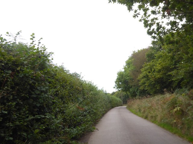
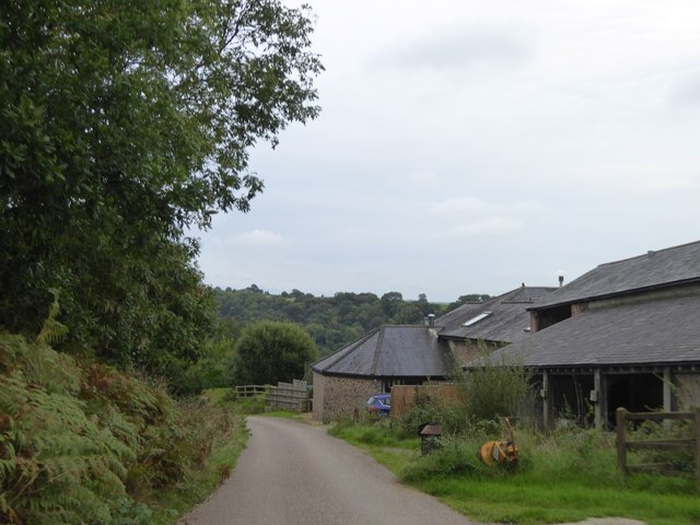
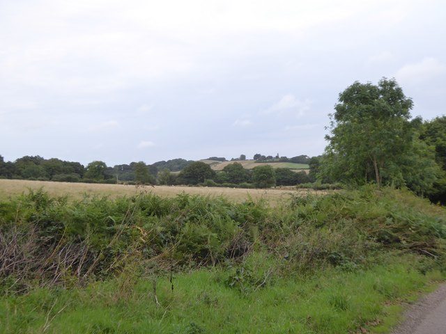
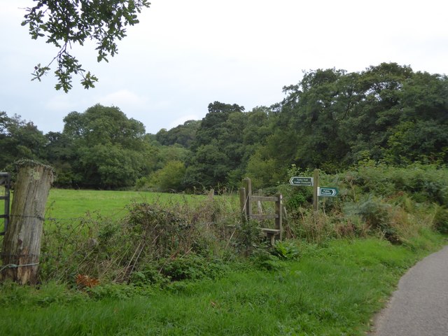
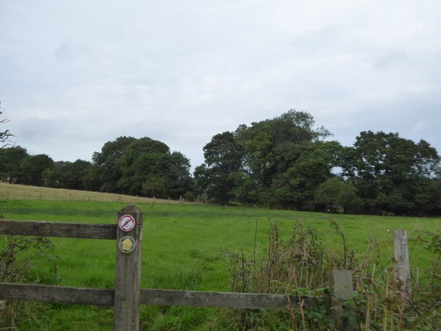
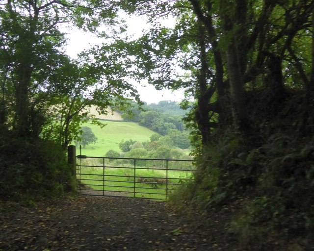
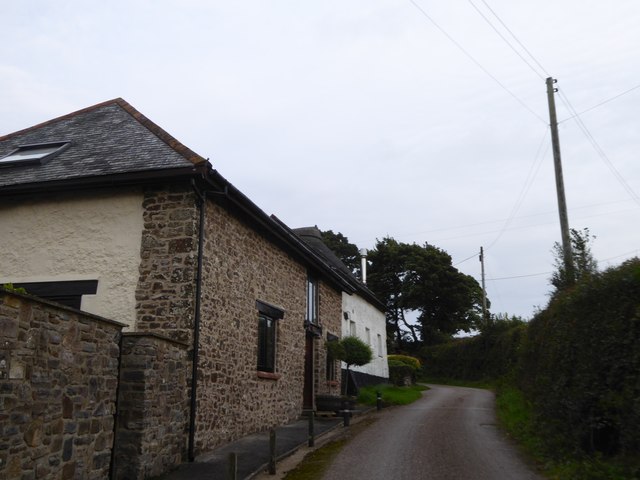
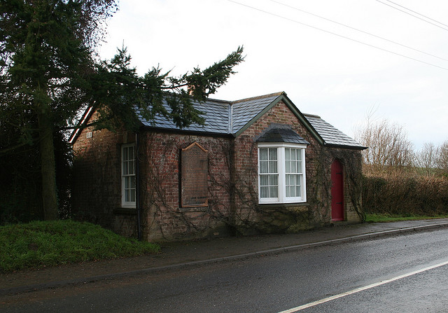
The village of Brushford itself is small and quaint, with a charming rural character. It is surrounded by lush green fields and rolling hills, providing a peaceful and idyllic setting. The River Exe flows through the parish, adding to its natural beauty.

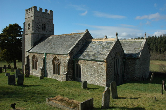
The main focal point of the village is the St. Nicholas Church, a charming medieval building that dates back to the 14th century. It holds regular services and is a significant historical landmark in the area.

Brushford is primarily an agricultural community, with farming being the main occupation of its residents. The fertile land surrounding the village is used for livestock rearing and crop cultivation.

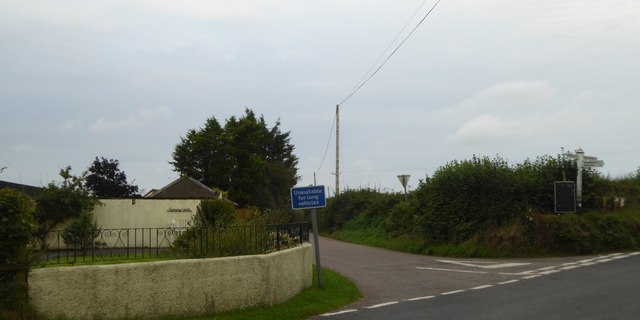
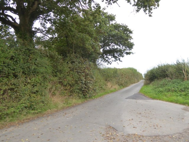
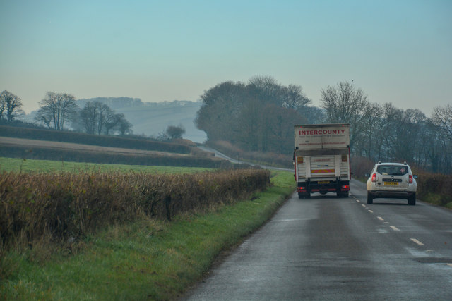
Despite its relatively small size, Brushford is well-connected to other nearby towns and villages. The A396 road passes through the parish, providing easy access to Tiverton and other major routes. The village is also served by regular bus services, ensuring convenient transportation for its residents.

Overall, Brushford offers a peaceful and picturesque countryside lifestyle, making it an attractive place to live for those seeking a close-knit community in a rural setting.

If you have any feedback on the listing, please let us know in the comments section below.

Brushford Images

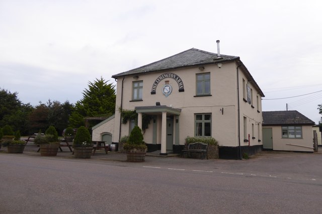
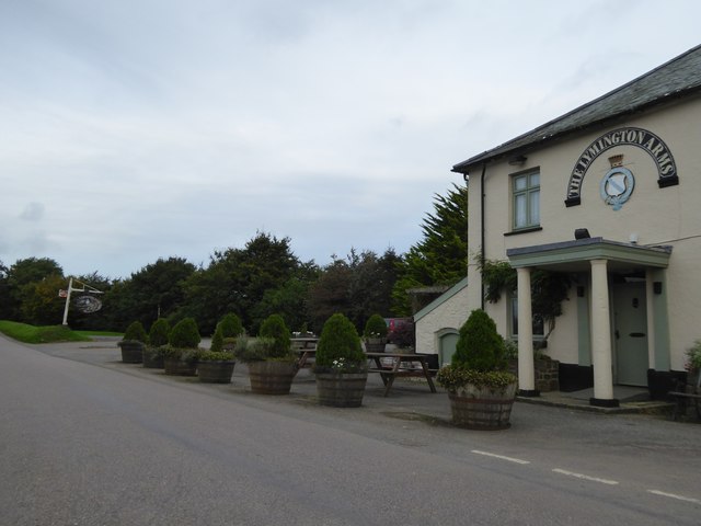
Images are sourced within 2km of 50.855297/-3.889473 or Grid Reference SS6707. Thanks to Geograph Open Source API. All images are credited.

Ordnance Survey Cut Mark This OS cut mark can be found on the porch of St Mary's Church. It marks a point 139.531m above mean sea level.
Ordnance Survey Cut Mark
This OS cut mark can be found on the porch of St Mary's Church. It marks a point 139.531m above mean sea level.
Ordnance Survey Cut Mark This OS cut mark can be found below the letter box at Brushford Cross. It marks a point 142.890m above mean sea level.
Ordnance Survey Cut Mark
This OS cut mark can be found below the letter box at Brushford Cross. It marks a point 142.890m above mean sea level.
The Lymington Arms at Lama Cross
Lymington Arms and its car park at Lama Cross Patrons can sit outside the front of the inn, protected from the traffic on the quiet road by the half barrels planted with small trees
Lymington Arms and its car park at Lama Cross
Patrons can sit outside the front of the inn, protected from the traffic on the quiet road by the half barrels planted with small trees
The road to Partridge Walls Cross Narrow road with hedgebanks; the boundary between Eggesford and Brushford runs along this stretch of road
The road to Partridge Walls Cross
Narrow road with hedgebanks; the boundary between Eggesford and Brushford runs along this stretch of road
Partridge Walls Cross crossroads
Field entrance north of Middle Reeve The field is the easternmost on the ridge east of Abbotsham Moor
Field entrance north of Middle Reeve
The field is the easternmost on the ridge east of Abbotsham Moor
Private road and public footpath to Middle Reeve
Farm at Lower Reeve
Farm at Lower Reeve
View from east of Lower Reeve Unusually, the road is bounded by a low hedge.  The field has a gentle slope to the east, the valley of the Taw.  The fields on the horizon are on the opposite side of the valley
View from east of Lower Reeve
Unusually, the road is bounded by a low hedge. The field has a gentle slope to the east, the valley of the Taw. The fields on the horizon are on the opposite side of the valley
Footpath signs and Westacott Wood The sign pointing east is for the Tarka Trail, following the River Taw valley.  Opposite is a footpath.  The Tarka Trail follows the road to cross the Taw and then continues westwards in Westacott Wood
Footpath signs and Westacott Wood
The sign pointing east is for the Tarka Trail, following the River Taw valley. Opposite is a footpath. The Tarka Trail follows the road to cross the Taw and then continues westwards in Westacott Wood
The Tarka Trail near Coldridge Bridge The path crosses a stile and runs eastwards parallel to the River Taw
The Tarka Trail near Coldridge Bridge
The path crosses a stile and runs eastwards parallel to the River Taw
View from Holm Wood to Taw valley A gateway for the bridleway into the valley from Holm Hill and Holm Wood
View from Holm Wood to Taw valley
A gateway for the bridleway into the valley from Holm Hill and Holm Wood
Holm on Holm Hill A farm and barn conversion by the minor road from Coldridge Bridge
Holm on Holm Hill
A farm and barn conversion by the minor road from Coldridge Bridge
Road to Coldridge from Holm Cross
Stump of old Milestone by the B3220, north of Taw Bridge Torrington wedge by the B3220, in parish of Bondleigh (West Devon District), Taw Mills, junction with lane to Brushford, at Western junction below sign post. 

Not lost, but almost completely buried.


Milestone Society National ID: DV_GTEX15
Stump of old Milestone by the B3220, north of Taw Bridge
Torrington wedge by the B3220, in parish of Bondleigh (West Devon District), Taw Mills, junction with lane to Brushford, at Western junction below sign post. Not lost, but almost completely buried. Milestone Society National ID: DV_GTEX15
Old Toll House by the B3220, Winkleigh Road, Taw Bridge Toll House by the B3220, in the parish of Coldridge (Mid Devon District), Taw Bridge Tollhouse, Winkleigh Road.
(See <span class="nowrap"><a title="https://www.flickr.com/photos/tollhouses/3202590990" rel="nofollow ugc noopener" href="https://www.flickr.com/photos/tollhouses/3202590990">Link</a><img style="margin-left:2px;" alt="External link" title="External link - shift click to open in new window" src="https://s1.geograph.org.uk/img/external.png" width="10" height="10"/></span> for a photo of the list of tolls shown on the left of the building.)

Grade II listed.
List Entry Number: 1162901 <span class="nowrap"><a title="https://historicengland.org.uk/listing/the-list/list-entry/1162901" rel="nofollow ugc noopener" href="https://historicengland.org.uk/listing/the-list/list-entry/1162901">Link</a><img style="margin-left:2px;" alt="External link" title="External link - shift click to open in new window" src="https://s1.geograph.org.uk/img/external.png" width="10" height="10"/></span>

Surveyed

Milestone Society National ID: DV.COL
Old Toll House by the B3220, Winkleigh Road, Taw Bridge
Toll House by the B3220, in the parish of Coldridge (Mid Devon District), Taw Bridge Tollhouse, Winkleigh Road. (See LinkExternal link for a photo of the list of tolls shown on the left of the building.) Grade II listed. List Entry Number: 1162901 LinkExternal link Surveyed Milestone Society National ID: DV.COL
Coldridge : The B3220 Looking along the B3220 through the Coldridge parish.
Coldridge : The B3220
Looking along the B3220 through the Coldridge parish.
Show me another place!

Brushford is located at Grid Ref: SS6707 (Lat: 50.855297, Lng: -3.889473)

Administrative County: Devon

District: Mid Devon

Police Authority: Devon & Cornwall

What 3 Words

///operated.squad.frightens. Near Winkleigh, Devon

Nearby Locations

Brushford Brushford

Related Wikis

Brushford, Devon

Brushford is a village and civil parish in the Mid Devon district of Devon in England. According to the 2001 census it had a population of 59. The village...

Wembworthy

Wembworthy is a small village, parish and former manor in Mid-Devon, England. It is situated in the valley of the River Taw, 8 miles north-east of the...

Coldridge

Coldridge or Coleridge is a village and parish in Devon, England. It appears in the Domesday Book of 1086 as Colrige, which is thought to mean ‘the ridge...

Eggesford

Eggesford () is a parish in mid-Devon, without its own substantial village. It is served by Eggesford railway station on the Exeter to Barnstaple railway...

Eggesford railway station

Eggesford railway station is a rural station in Devon, England, serving Eggesford, the town of Chulmleigh and surrounding villages. Despite its name, the...

Bondleigh

Bondleigh is a village and civil parish in the West Devon district of Devon, England, on the River Taw, north of North Tawton. According to the 2011 census...

Church of All Saints, Winkleigh

The Church of All Saints is a Church of England parish church in Winkleigh, Devon. The church is a Grade I listed building. == History == The earliest...

Nymet Rowland

Nymet Rowland is a small village, and civil parish of the same name, in central Devon, England, north of Dartmoor. It takes part of its name from "Nymet...

Have you been to Brushford?

Leave your review of Brushford below (or comments, questions and feedback).