Marydown Copse
Wood, Forest in Somerset South Somerset
England
Marydown Copse
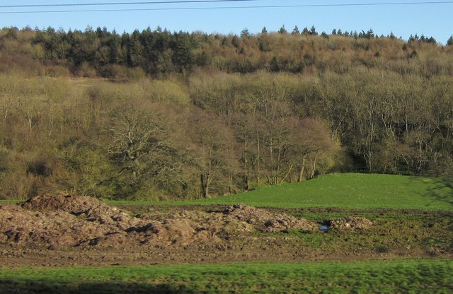
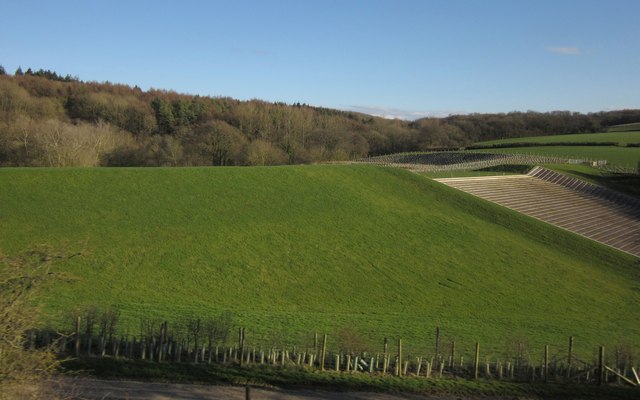
Marydown Copse is a picturesque wood located in Somerset, England. Situated in the region of West Somerset, the copse covers an area of approximately 20 acres. It is known for its dense forest and diverse flora and fauna.
The copse is composed primarily of deciduous trees, including oak, beech, and ash. These trees provide ample shade and create a tranquil atmosphere for visitors. The forest floor is covered in a carpet of bluebells in the spring, creating a stunning display of color. Other wildflowers, such as foxgloves and primroses, can also be found throughout the copse.
The copse is home to a variety of wildlife species. Birdwatchers will be delighted to spot woodpeckers, owls, and various songbirds among the branches. Squirrels and badgers are commonly seen scurrying through the undergrowth, while rabbits can be spotted nibbling on grassy patches.
There are several walking trails that wind their way through the copse, allowing visitors to explore its beauty at their own pace. These trails are well-maintained and suitable for all ages and abilities. Visitors can expect to enjoy a peaceful and immersive experience in nature, surrounded by the sights and sounds of the woodland.
Overall, Marydown Copse is a natural treasure in Somerset, offering a haven for nature enthusiasts and a place to escape the hustle and bustle of everyday life. Its serene beauty and rich biodiversity make it a must-visit destination for anyone seeking solace in nature.
If you have any feedback on the listing, please let us know in the comments section below.
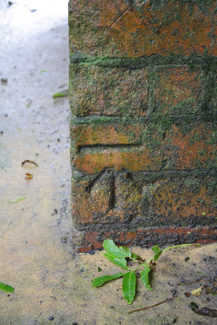
Marydown Copse Images
Images are sourced within 2km of 51.108042/-2.4417965 or Grid Reference ST6934. Thanks to Geograph Open Source API. All images are credited.

Marydown Copse is located at Grid Ref: ST6934 (Lat: 51.108042, Lng: -2.4417965)
Administrative County: Somerset
District: South Somerset
Police Authority: Avon and Somerset
What 3 Words
///adjusted.year.hires. Near Bruton, Somerset
Nearby Locations
Related Wikis
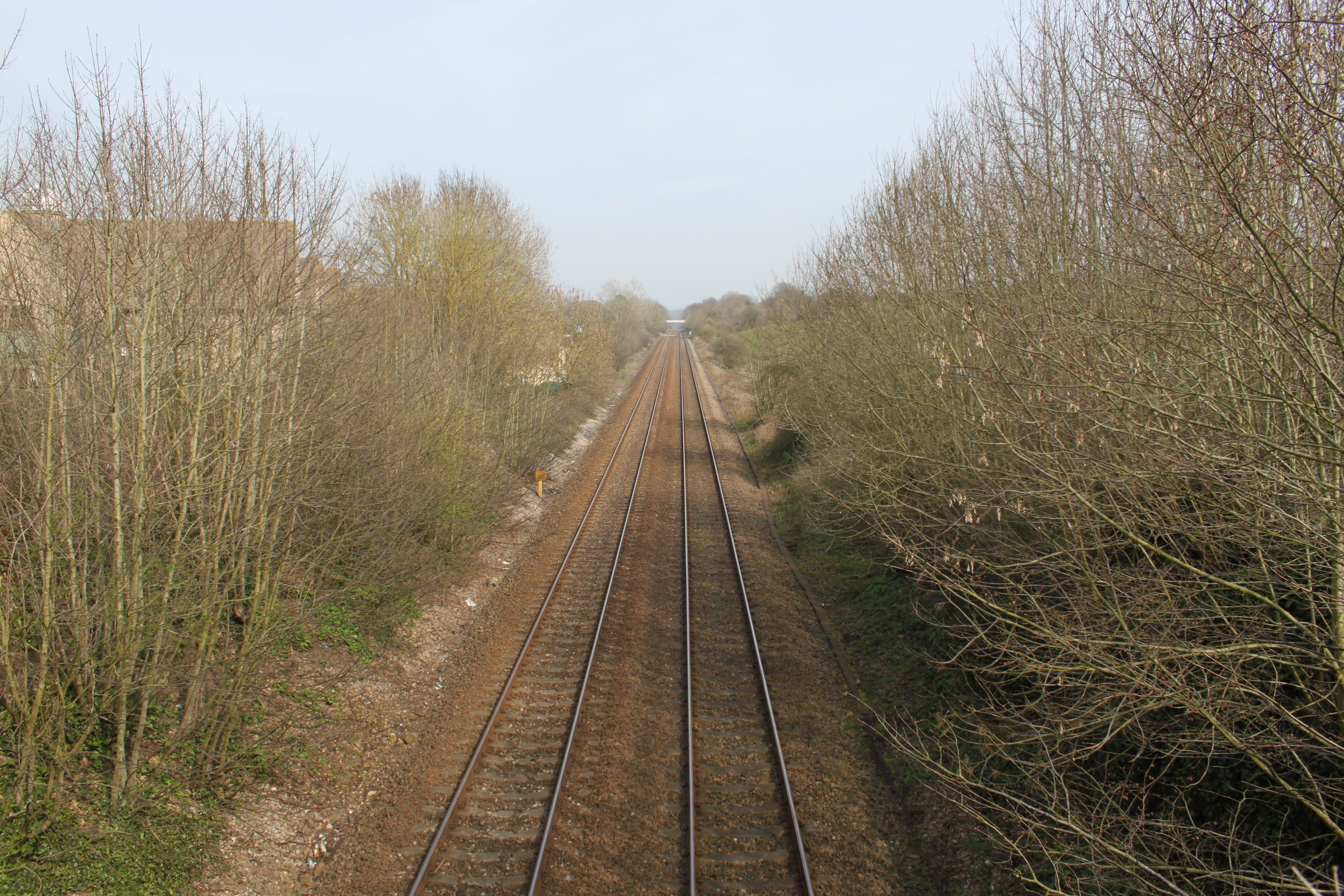
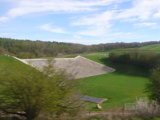
Bruton railway cutting
Bruton Railway Cutting is a 1.7 hectare geological Site of Special Scientific Interest at Bruton in Somerset, notified in 1971. The geology exposed in...

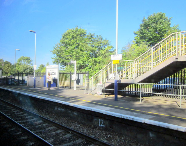
Bruton railway station
Bruton railway station serves a largely rural area in the county of Somerset in England. The station is situated in the market town of Bruton. The station...
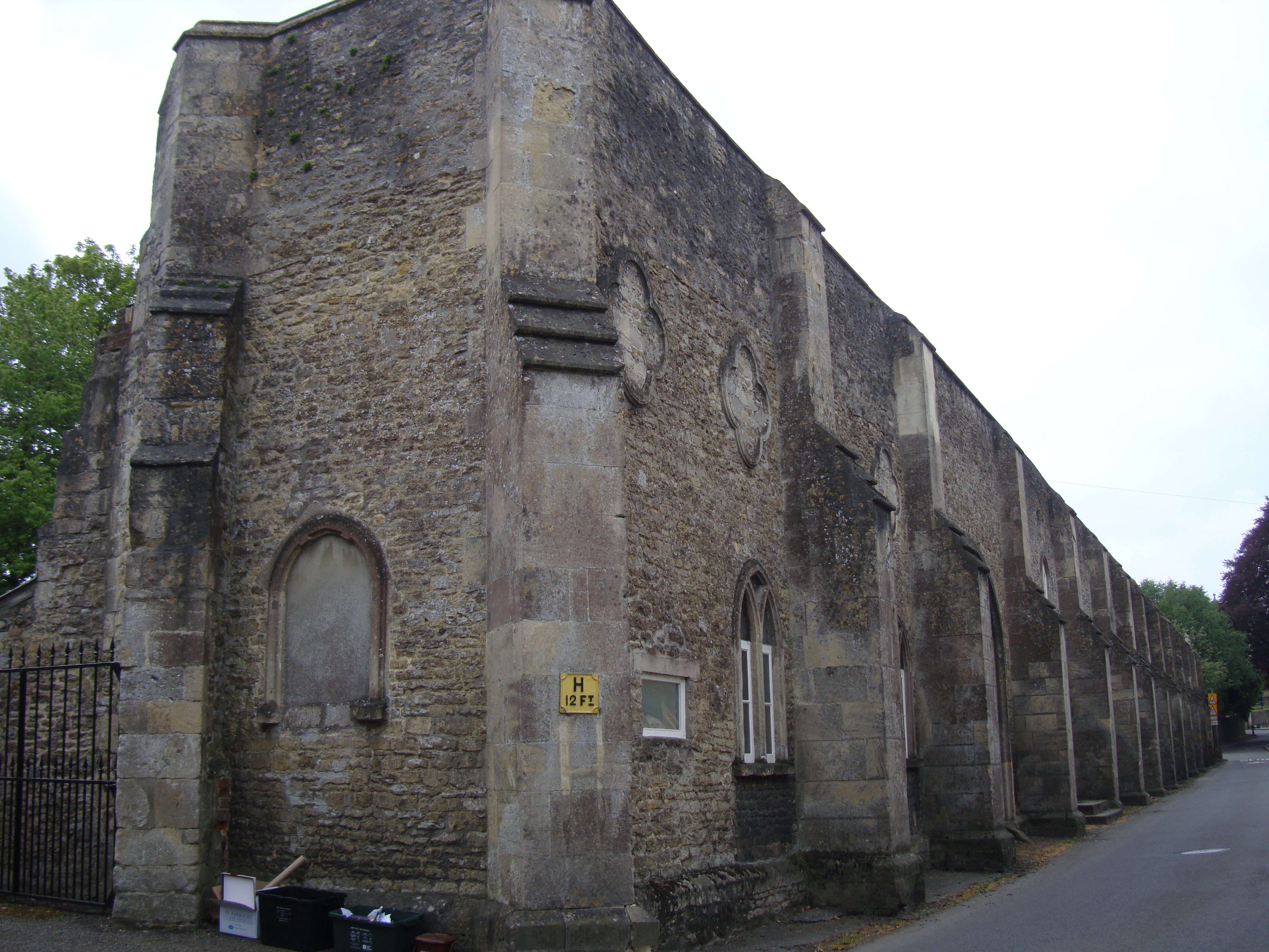
Bruton Abbey
Bruton Abbey in Bruton, Somerset was founded as a house of Augustinian canons in about 1127, and became an abbey in 1511, shortly before its dissolution...
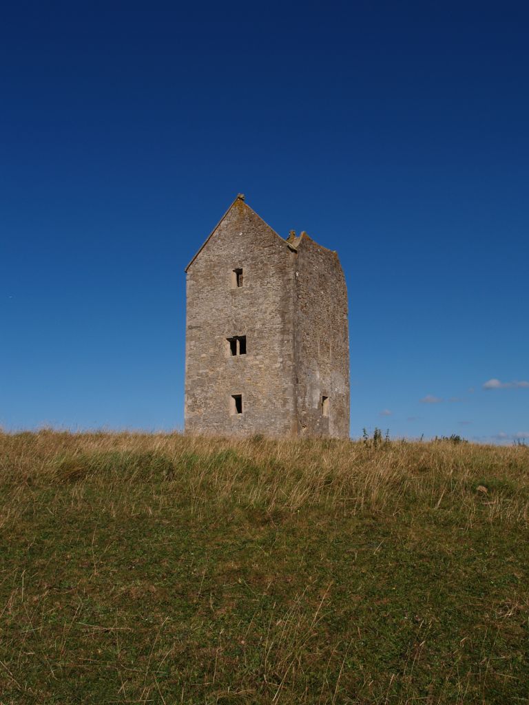
Bruton Dovecote
The Bruton Dovecote is a limestone tower that was built between the 15th and 17th century in Bruton in the English county of Somerset. The structure was...

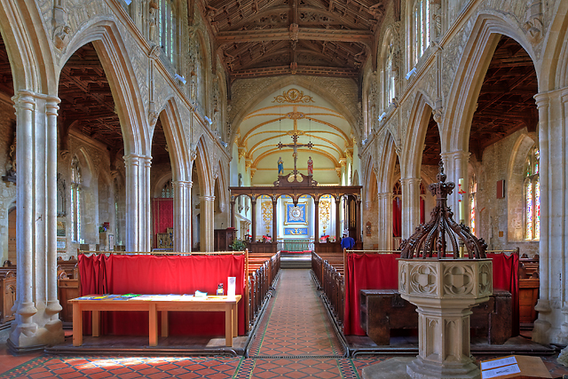
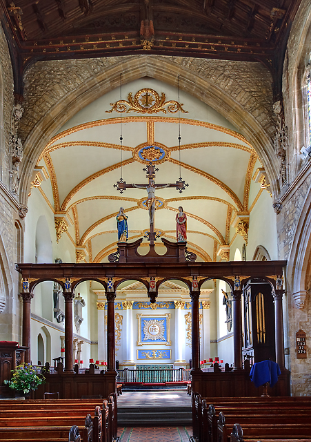
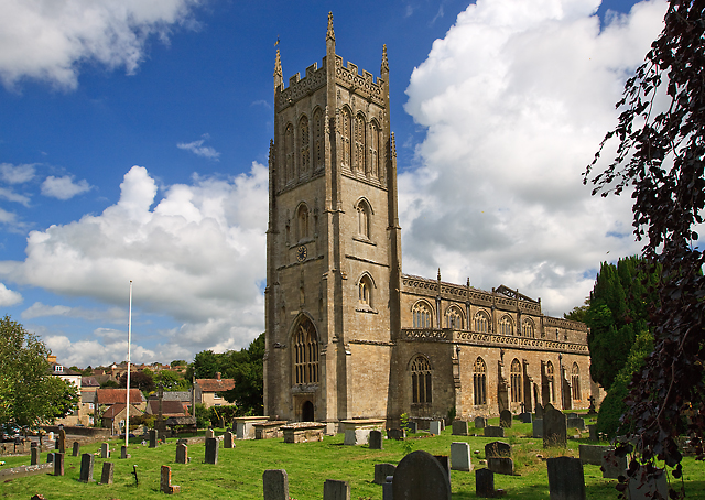
St Mary's Church, Bruton
The Church of St Mary in Bruton, Somerset, England was largely built in the 14th century. Like many Somerset churches, it has a very fine tower; less usually...
King's School, Bruton
King's Bruton is an independent fully co-educational secondary boarding and day school in the English public school tradition located in Bruton, Somerset...

Godminster Lane Quarry and Railway Cutting
Godminster Lane Quarry and Railway Cutting (grid reference ST682345) is a 0.8 hectare geological Site of Special Scientific Interest at Pitcombe in Somerset...

Bruton
Bruton ( BROO-tən) is a market town, electoral ward, and civil parish in Somerset, England, on the River Brue and the A359 between Frome and Yeovil. It...
Related Videos
Beautiful Bruton, Somerset
My first ever visit to the beautiful village of Bruton in Somerset.

Railway Touring Company service Minehead to London Paddington hauled by 45596 Bahamas #trainfans
This short video was captured on the 22nd July 23 at Bruton Somerset on a wet Saturday afternoon. We see the Railway Touring ...
Bruton, Somerset - Aerial Drone Video in 4K
Bruton is a bustling small town in Somerset in the South West of England. A 2h20mn journey from London Paddington, Bruton has ...
Nearby Amenities
Located within 500m of 51.108042,-2.4417965Have you been to Marydown Copse?
Leave your review of Marydown Copse below (or comments, questions and feedback).