Primrose Wood
Wood, Forest in Gloucestershire
England
Primrose Wood

Primrose Wood is a picturesque woodland located in the county of Gloucestershire, England. Covering an area of approximately 50 acres, it is a part of the wider Forest of Dean, known for its rich biodiversity and stunning natural landscapes.
The wood is predominantly composed of native broadleaf trees, including oak, beech, and ash, creating a diverse and vibrant ecosystem. The canopy formed by these trees provides a dense cover that allows only dappled sunlight to filter through, creating a peaceful and tranquil atmosphere. The forest floor is blanketed with a variety of wildflowers, including primroses, which give the wood its name and add a splash of color to the surroundings during springtime.
Primrose Wood is crisscrossed by a network of well-maintained paths, allowing visitors to explore its beauty on foot. These paths wind through the wood, offering glimpses of small clearings, babbling brooks, and moss-covered rocks. The wood is also home to a variety of wildlife, including deer, badgers, foxes, and numerous bird species, making it a popular destination for nature enthusiasts and birdwatchers.
The wood is managed by a local conservation trust, ensuring its preservation and protection for future generations. The trust organizes guided walks and educational programs to raise awareness about the importance of preserving this unique woodland habitat. Additionally, there are picnic areas and benches scattered throughout the wood, providing visitors with opportunities to relax and enjoy the serene surroundings.
Overall, Primrose Wood in Gloucestershire is a hidden gem, offering visitors a chance to immerse themselves in nature and experience the beauty of a well-preserved woodland ecosystem.
If you have any feedback on the listing, please let us know in the comments section below.
Primrose Wood Images
Images are sourced within 2km of 51.475084/-2.4455079 or Grid Reference ST6975. Thanks to Geograph Open Source API. All images are credited.


Primrose Wood is located at Grid Ref: ST6975 (Lat: 51.475084, Lng: -2.4455079)
Unitary Authority: South Gloucestershire
Police Authority: Avon and Somerset
What 3 Words
///wisdom.wage.filer. Near Siston, Gloucestershire
Nearby Locations
Related Wikis

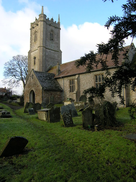
Siston
Siston (pronounced "sizeton") is a small village in South Gloucestershire, England. It is 7 miles (11 km) east of Bristol at the confluence of the two...
Abson
Abson is a small village in South Gloucestershire, England, it forms part of the civil parish of Wick and Abson. == Location == Abson is located on a minor...
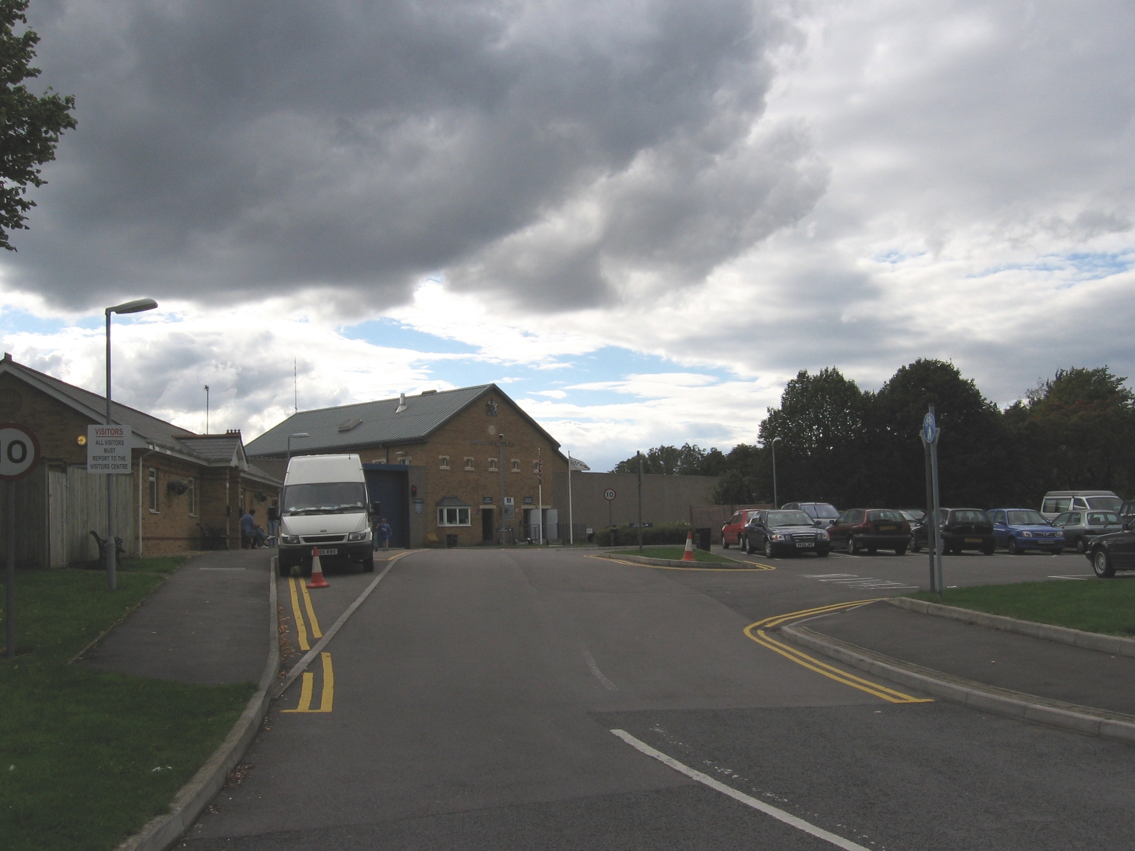
HM Prison Ashfield
HM Prison Ashfield (formerly Pucklechurch Remand Centre) is an adult male sex offenders prison located in the village of Pucklechurch (near Bristol), in...
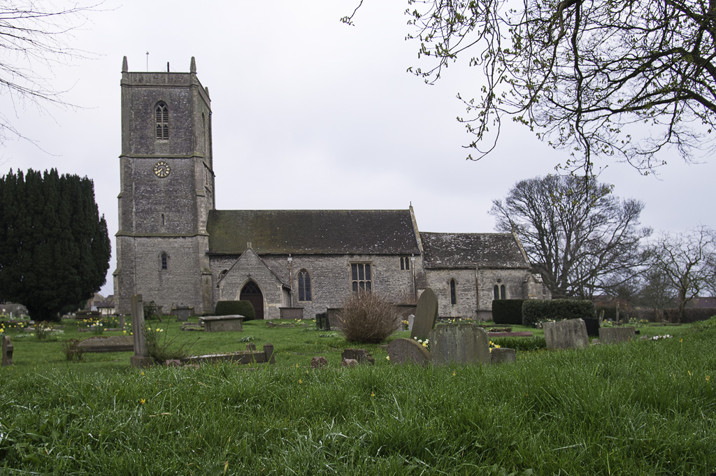
Pucklechurch
Pucklechurch is a large village and civil parish in South Gloucestershire, England. It has a current population of about 3000. The village dates back over...
Nearby Amenities
Located within 500m of 51.475084,-2.4455079Have you been to Primrose Wood?
Leave your review of Primrose Wood below (or comments, questions and feedback).