Sparram Wood
Wood, Forest in Yorkshire South Lakeland
England
Sparram Wood
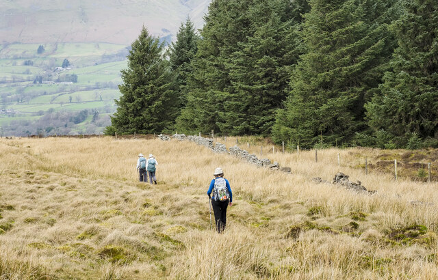
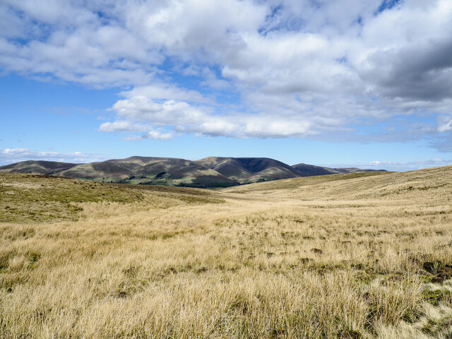
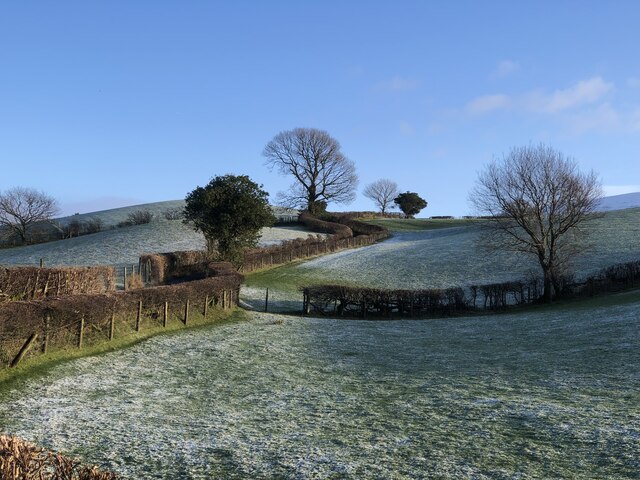
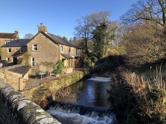
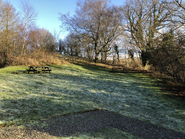
Sparram Wood is a picturesque woodland located in the county of Yorkshire, England. Situated in the heart of the region, it covers an area of approximately 100 acres and is renowned for its natural beauty and diverse wildlife.
The wood is predominantly made up of a mixture of broadleaf trees, including oak, beech, and birch, which provide a stunning canopy of foliage throughout the year. These ancient trees create a serene and tranquil atmosphere, making Sparram Wood a popular destination for nature lovers and outdoor enthusiasts.
The forest floor is covered with a rich carpet of ferns, bluebells, and wildflowers, adding to the enchanting ambiance of the wood. It is a haven for a variety of wildlife, including deer, foxes, badgers, and numerous bird species. Birdwatchers can often spot woodpeckers, owls, and buzzards soaring through the treetops.
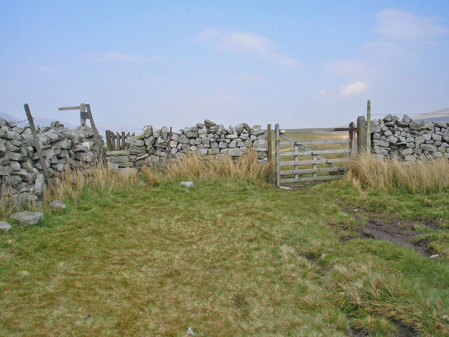
A network of well-maintained footpaths and trails allows visitors to explore the wood at their leisure. There are also designated picnic areas and benches, providing the perfect opportunity to relax and enjoy the peaceful surroundings. The wood is open to the public throughout the year, with no entrance fee required.
Sparram Wood is an ideal destination for a family day out or a peaceful retreat from the hustle and bustle of daily life. Its natural beauty and abundant wildlife make it a must-visit location for anyone seeking to connect with nature and experience the tranquility of a woodland setting.
If you have any feedback on the listing, please let us know in the comments section below.
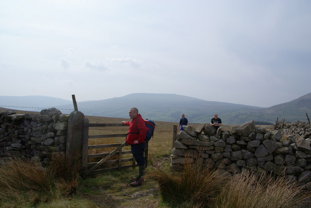
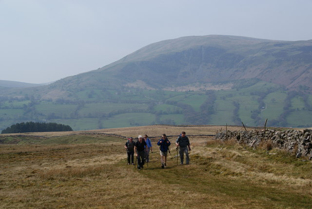
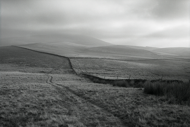
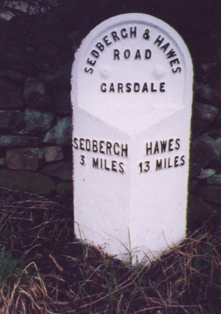
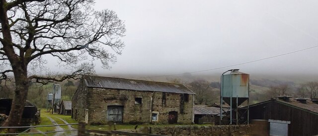
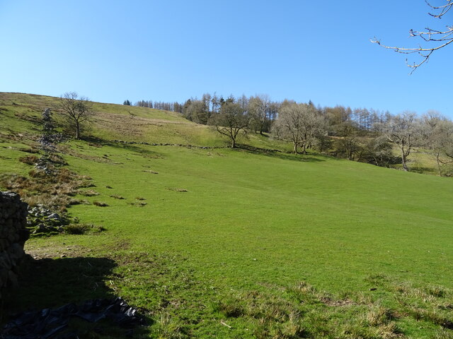
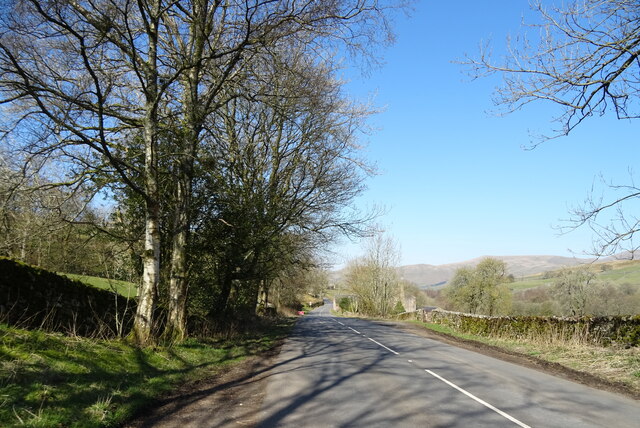
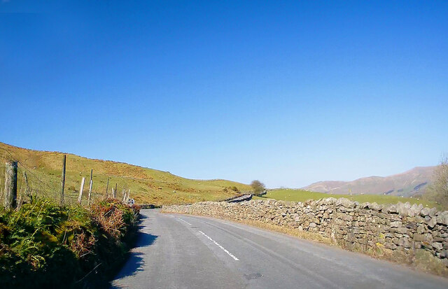
Sparram Wood Images
Images are sourced within 2km of 54.319682/-2.4757992 or Grid Reference SD6991. Thanks to Geograph Open Source API. All images are credited.
Sparram Wood is located at Grid Ref: SD6991 (Lat: 54.319682, Lng: -2.4757992)
Division: West Riding
Administrative County: Cumbria
District: South Lakeland
Police Authority: Cumbria
What 3 Words
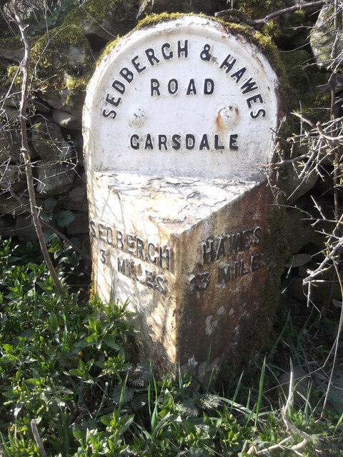
///fatigued.scuba.slime. Near Sedbergh, Cumbria
Nearby Locations
Related Wikis

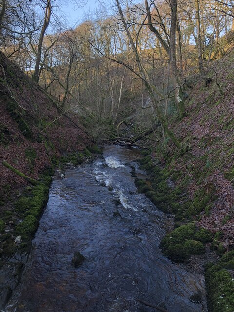
Clough River
The Clough River is a river in Cumbria, England. A tributary of the River Rawthey, it flows for 21.8 kilometres (13.5 mi) primarily through the Garsdale...

Settlebeck School
Settlebeck School is a small coeducational secondary school with academy status. It is located in Sedbergh in the English county of Cumbria, drawing pupils...

Millthrop
Millthrop is a hamlet in the South Lakeland district of Cumbria, Northern England and the Yorkshire Dales. Millthrop lies on the south bank of the River...

Sedbergh
Sedbergh ( SED-bər or locally SEB-ər) is a town and civil parish in the ceremonial county of Cumbria. It falls within the historic boundaries of the West...

Sedbergh School Chapel
Sedbergh School Chapel is located to the southeast of Sedbergh School, Sedbergh, Cumbria, England. It is considered to be of architectural importance...

The Bull Hotel, Sedbergh
The Bull Hotel, formerly The Black Bull Hotel, is a 17th-century coaching inn in Sedbergh, Cumbria. It is located in a narrow passage parallel with the...

St Andrew's Church, Sedbergh
St Andrew's Church is in Main Street, Sedbergh, Cumbria, England. It is an active Anglican parish church in the deanery of Kendal, and the diocese of Carlisle...
Sedbergh People's Hall
Sedbergh People's Hall is a village hall in Sedbergh, unique because it was built by the people, for the people. == Land and lease == The land on which...
Nearby Amenities
Located within 500m of 54.319682,-2.4757992Have you been to Sparram Wood?
Leave your review of Sparram Wood below (or comments, questions and feedback).