Fawes Wood

Wood, Forest in Yorkshire South Lakeland

England

Fawes Wood

Walking path beside coniferous plantation The walkers are descending on a track over moorland into Garsdale following an ascent to Aye Gill Pike.
Walking path beside coniferous plantation Credit: Trevor Littlewood

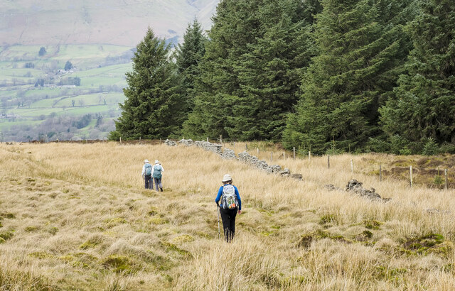
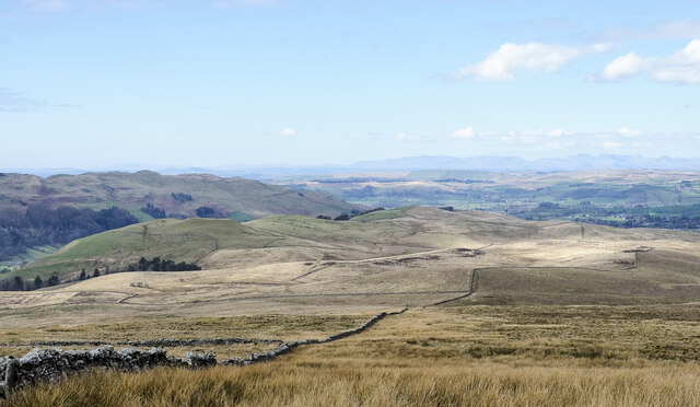
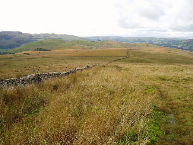
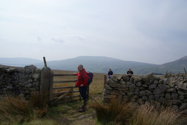
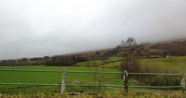
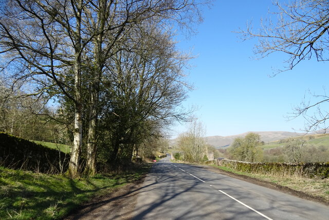
Fawes Wood is a picturesque woodland located in the county of Yorkshire in England. Nestled within the North York Moors National Park, this enchanting forest covers an area of approximately 100 hectares. It is easily accessible and lies just south of the village of Egton Bridge.

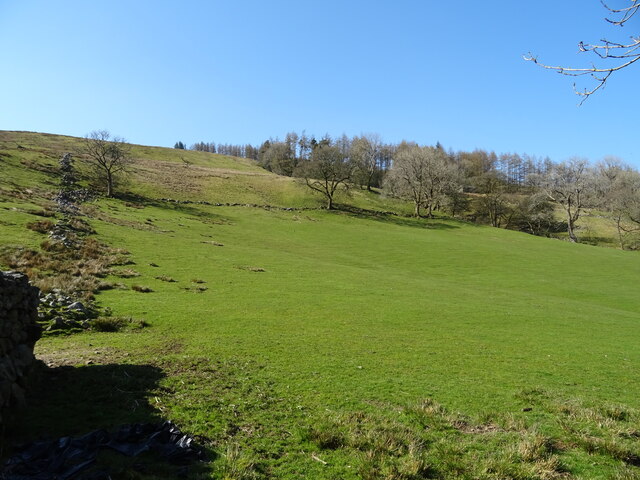
The woodland is primarily composed of mixed deciduous and coniferous trees, creating a diverse and vibrant ecosystem. Ancient oak and birch trees tower over the forest floor, while spruces and firs add a touch of evergreen beauty. Fawes Wood is renowned for its rich biodiversity, providing a habitat for various species of birds, mammals, and insects.

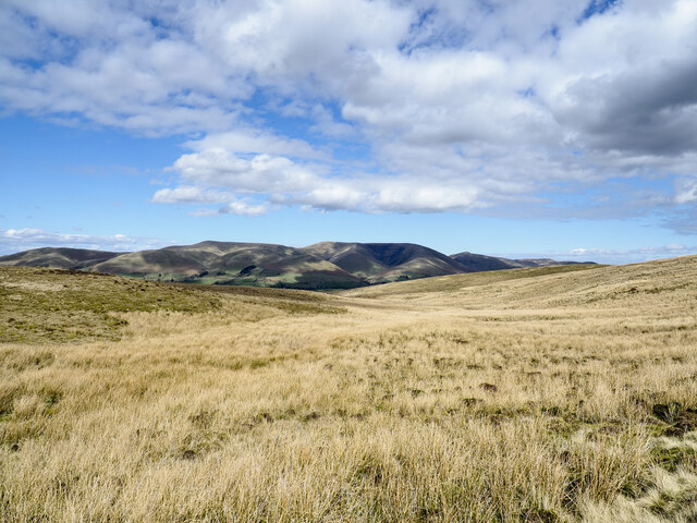
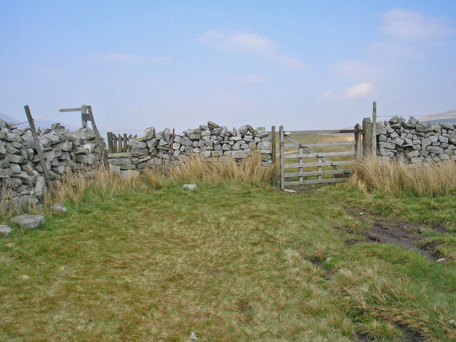
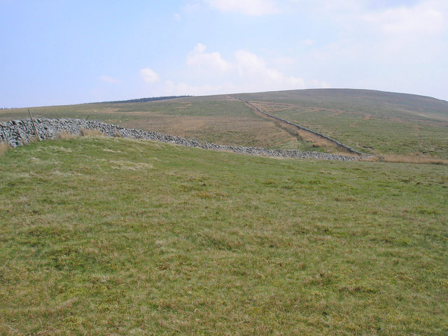
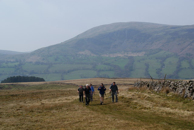
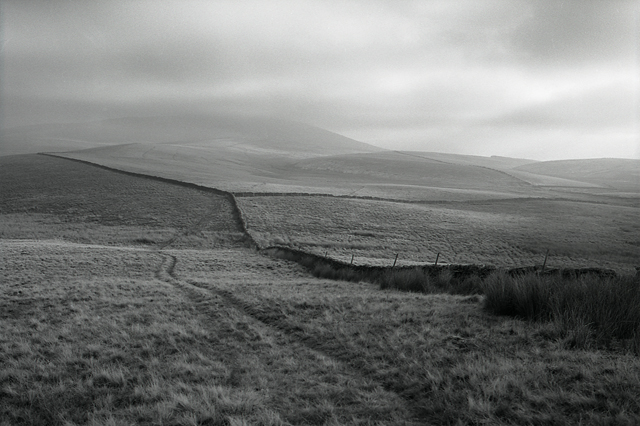
Tranquility and serenity are the hallmarks of Fawes Wood, making it a popular spot for nature enthusiasts and walkers. There are several well-maintained footpaths and trails that wind through the forest, allowing visitors to explore its natural wonders while enjoying breathtaking views of the surrounding moorland.

The wood is also home to a range of flora, including bluebells, wild garlic, and ferns that carpet the forest floor in spring. This burst of color attracts photographers and artists who seek inspiration from the natural beauty of Fawes Wood.

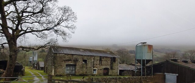
Moreover, Fawes Wood is steeped in history, with remnants of ironstone mining and charcoal production scattered throughout the area. These traces of the past add an intriguing layer to the woodland's charm.

Overall, Fawes Wood in Yorkshire is a captivating destination for those seeking solace in nature, offering a delightful blend of beauty, biodiversity, and history.

If you have any feedback on the listing, please let us know in the comments section below.
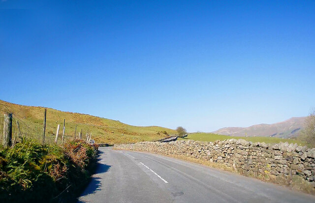
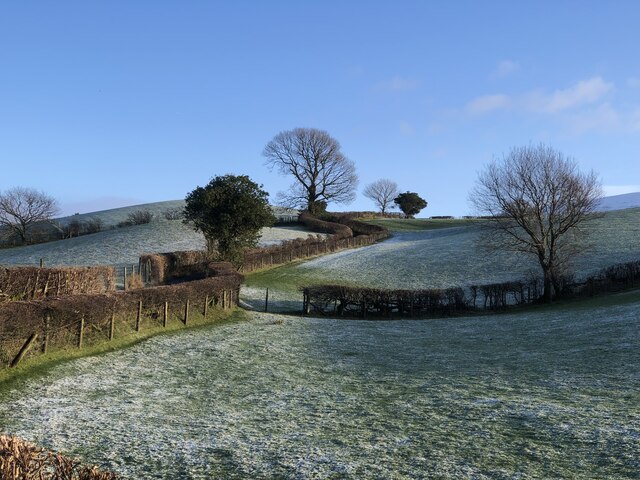
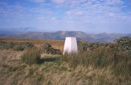
Fawes Wood Images

Images are sourced within 2km of 54.317613/-2.4693803 or Grid Reference SD6991. Thanks to Geograph Open Source API. All images are credited.

Walking path beside coniferous plantation The walkers are descending on a track over moorland into Garsdale following an ascent to Aye Gill Pike.
Walking path beside coniferous plantation
The walkers are descending on a track over moorland into Garsdale following an ascent to Aye Gill Pike.
Gillfeet Gill Ford This ford is found on the road crossing Gillfeet Gill.
Gillfeet Gill Ford
This ford is found on the road crossing Gillfeet Gill.
Old milestone The Hawes 13 milestone on the A684 has its back to a drystone wall near Nether House on the south side of the road.   615 of these milestones were set up for the West Riding County Council in 1893/94 not long after the formation of County Councils.   Gill and Frank Stead, stonemasons, of Mirfield won the contract which stated that the work had to be done in 12 months or they would incur a penalty.   Considering the size of the West Riding that was a tremendous feat but they succeeded.   The WRCC didn't always have stones erected on old tollroads.   They wanted to promote new trade routes.   It is Grade II listed 1384039.
Old milestone
The Hawes 13 milestone on the A684 has its back to a drystone wall near Nether House on the south side of the road. 615 of these milestones were set up for the West Riding County Council in 1893/94 not long after the formation of County Councils. Gill and Frank Stead, stonemasons, of Mirfield won the contract which stated that the work had to be done in 12 months or they would incur a penalty. Considering the size of the West Riding that was a tremendous feat but they succeeded. The WRCC didn't always have stones erected on old tollroads. They wanted to promote new trade routes. It is Grade II listed 1384039.
Valley of Holebeck Gill The shallow, upper valley of Holebeck Gill heading north to where it will meet the Clough River which drains Garsdale.
The Howgill Fells are in the distance beyond both the Clough River and the River Rawthey.
Valley of Holebeck Gill
The shallow, upper valley of Holebeck Gill heading north to where it will meet the Clough River which drains Garsdale. The Howgill Fells are in the distance beyond both the Clough River and the River Rawthey.
Moorland of north-west ridge of Aye Gill Pike Aye Gill Pike is the high point of a long ridge oriented almost north-west to south east between two valleys, Garsdale and Dentdale. The broad western end of the ridge is seen here, descending towards Sedbergh.
Moorland of north-west ridge of Aye Gill Pike
Aye Gill Pike is the high point of a long ridge oriented almost north-west to south east between two valleys, Garsdale and Dentdale. The broad western end of the ridge is seen here, descending towards Sedbergh.
Western slope of Aye Gill Pike A faint track runs beside the wall running to the summit of Aye Gill Pike. This path has been well walked before the introduction of open access, but now a number of stiles have been built over the cross walls.
Western slope of Aye Gill Pike
A faint track runs beside the wall running to the summit of Aye Gill Pike. This path has been well walked before the introduction of open access, but now a number of stiles have been built over the cross walls.
Bridleway junction A gate at the junction of two bridleways between Dentdale and Garsdale.
Bridleway junction
A gate at the junction of two bridleways between Dentdale and Garsdale.
The slopes of Aye Gill Pike The track up the fell can be seen to the left of the wall.
The slopes of Aye Gill Pike
The track up the fell can be seen to the left of the wall.
A gateway through the wall This is where you reach the top of the ridge, and suddenly get views of the Howgills.
A gateway through the wall
This is where you reach the top of the ridge, and suddenly get views of the Howgills.
Climbing to the top of the ridge on Long Moor Dominating the background is Calf Top with Combe Scar on its side.
Climbing to the top of the ridge on Long Moor
Dominating the background is Calf Top with Combe Scar on its side.
Stone walls on slopes of Aye Gill Pike
Old Milestone by the A684, Garsdale Milestone by the A684, in parish of Garsdale (Eden District), Ex. Yorkshire West Riding, near Nether House, back to drystone wall.

Inscription reads:-
: SEDBERGH / 3 MILES : : SEDBERGH & HAWES / ROAD / GARSDALE : : HAWES / 13 MILES :

Grade II listed.
List Entry Number: 1384039 <span class="nowrap"><a title="https://historicengland.org.uk/listing/the-list/list-entry/1384039" rel="nofollow ugc noopener" href="https://historicengland.org.uk/listing/the-list/list-entry/1384039">Link</a><img style="margin-left:2px;" alt="External link" title="External link - shift click to open in new window" src="https://s1.geograph.org.uk/img/external.png" width="10" height="10"/></span>

Milestone Society National ID: YW_HWSB13
Old Milestone by the A684, Garsdale
Milestone by the A684, in parish of Garsdale (Eden District), Ex. Yorkshire West Riding, near Nether House, back to drystone wall. Inscription reads:- : SEDBERGH / 3 MILES : : SEDBERGH & HAWES / ROAD / GARSDALE : : HAWES / 13 MILES : Grade II listed. List Entry Number: 1384039 LinkExternal link Milestone Society National ID: YW_HWSB13
Fields near Bellow End
Farm Buildings at Kiln Haw
Hillside grazing, Whit Beck
A684, Whit Beck Towards Sedbergh.
A684, Whit Beck
Towards Sedbergh.
A684, Potgill Holme Towards Sedbergh.
A684, Potgill Holme
Towards Sedbergh.
Fields Beside Road To Hebblethwaite Hall
Show me another place!

Fawes Wood is located at Grid Ref: SD6991 (Lat: 54.317613, Lng: -2.4693803)

Division: West Riding

Administrative County: Cumbria

District: South Lakeland

Police Authority: Cumbria

What 3 Words

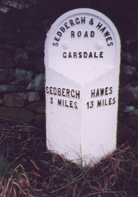
///delighted.resists.restore. Near Sedbergh, Cumbria

Related Wikis

Clough River

The Clough River is a river in Cumbria, England. A tributary of the River Rawthey, it flows for 21.8 kilometres (13.5 mi) primarily through the Garsdale...

Settlebeck School

Settlebeck School is a small coeducational secondary school with academy status. It is located in Sedbergh in the English county of Cumbria, drawing pupils...

Millthrop

Millthrop is a hamlet in the South Lakeland district of Cumbria, Northern England and the Yorkshire Dales. Millthrop lies on the south bank of the River...

Sedbergh

Sedbergh ( SED-bər or locally SEB-ər) is a town and civil parish in the ceremonial county of Cumbria. It falls within the historic boundaries of the West...

Sedbergh School Chapel

Sedbergh School Chapel is located to the southeast of Sedbergh School, Sedbergh, Cumbria, England. It is considered to be of architectural importance...

Aye Gill Pike

Aye Gill Pike is a Marilyn in the Yorkshire Dales, the highest point of the ridge of Rise Hill between Dentdale and Garsdale in Cumbria, England.

The Bull Hotel, Sedbergh

The Bull Hotel, formerly The Black Bull Hotel, is a 17th-century coaching inn in Sedbergh, Cumbria. It is located in a narrow passage parallel with the...

St Andrew's Church, Sedbergh

St Andrew's Church is in Main Street, Sedbergh, Cumbria, England. It is an active Anglican parish church in the deanery of Kendal, and the diocese of Carlisle...

Nearby Amenities

Located within 500m of 54.317613,-2.4693803
Tom Croft Hill
Natural: peak
Source: OS OpenData StreetView
Lat/Long: 54.3167815/-2.4722315
Faw Moor
Natural: moor
Source: OS OpenData StreetView
Lat/Long: 54.3216/-2.4667598
Barrier: cattle_grid
Source: survey
Lat/Long: 54.3147281/-2.4668528
Barrier: cattle_grid
Source: survey
Lat/Long: 54.3164531/-2.4650553
Adam Sedgewick and the Dent Fault
Board Type: geology
Image: https://www.geograph.org.uk/photo/3172204
Information: board
Tourism: information
Lat/Long: 54.3160114/-2.4718296
Barrier: cattle_grid
Lat/Long: 54.31851/-2.4654733
Hiking: yes
Information: guidepost
Source: GPS survey
Tourism: information
Lat/Long: 54.3210015/-2.4731107
Give Way
Direction: backward
Lat/Long: 54.3156615/-2.4712775
Give Way
Direction: forward
Lat/Long: 54.315607/-2.4709745
Power: pole
Lat/Long: 54.3203148/-2.4747053
Power: pole
Lat/Long: 54.3198673/-2.4735439
Power: pole
Lat/Long: 54.3191657/-2.4718581
Power: pole
Lat/Long: 54.3185266/-2.4702676
Power: pole
Lat/Long: 54.3179923/-2.4689627
Power: pole
Lat/Long: 54.317573/-2.4679166
Power: pole
Lat/Long: 54.3175128/-2.4664749
Power: pole
Lat/Long: 54.317487/-2.4654222
Power: pole
Lat/Long: 54.3173564/-2.4620204
Natural: sinkhole
Lat/Long: 54.3204458/-2.4670535
Natural: sinkhole
Lat/Long: 54.3204367/-2.4674107
Natural: sinkhole
Lat/Long: 54.3203232/-2.4680744
Natural: sinkhole
Lat/Long: 54.3200944/-2.4657982
Natural: sinkhole
Lat/Long: 54.3204297/-2.4695159
Natural: sinkhole
Lat/Long: 54.3203361/-2.4693738
Power: pole
Lat/Long: 54.3182433/-2.4664227
Power: pole
Lat/Long: 54.3185801/-2.4757964
Power: pole
Lat/Long: 54.3193975/-2.4743159
The data included in this document is from www.openstreetmap.org. The data is made available under ODbL.

Have you been to Fawes Wood?

Leave your review of Fawes Wood below (or comments, questions and feedback).