Faw Moor
Downs, Moorland in Yorkshire South Lakeland
England
Faw Moor
Faw Moor is a picturesque area located in the county of Yorkshire, England. Situated amidst the stunning Yorkshire Downs and Moorland, Faw Moor offers visitors a unique blend of natural beauty and historical significance.
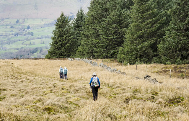
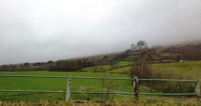
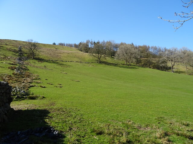
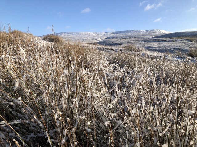
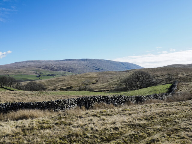
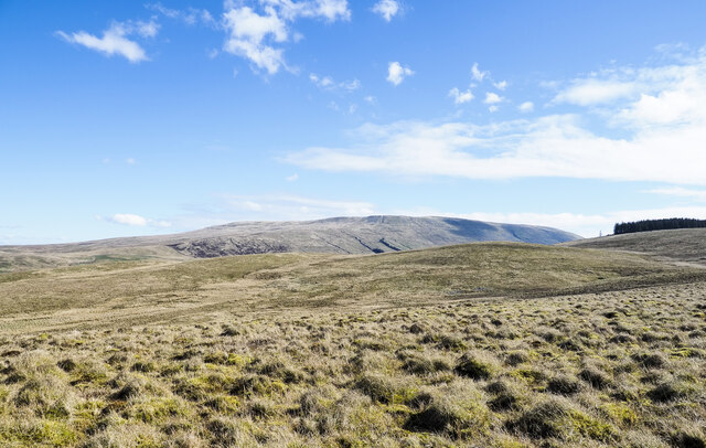
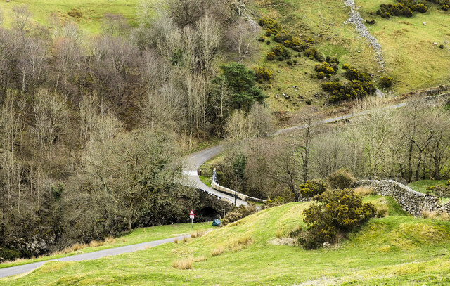
Covering an expansive area, Faw Moor is characterized by its rolling hills, heather-covered moorland, and vast open spaces. The landscape is dotted with scattered trees and patches of dense woodland, providing a diverse habitat for various flora and fauna. The moorland is particularly renowned for its vibrant purple heather, which paints the area with a stunning hue during the summer months.
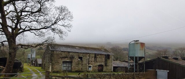
The history of Faw Moor dates back centuries, with evidence of human activity dating back to the Neolithic period. Ancient burial mounds and stone circles can still be found scattered across the landscape, providing a glimpse into the lives of early inhabitants. The area was also home to several Bronze Age settlements, with artifacts such as tools and pottery being discovered in the vicinity.
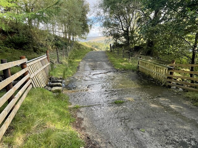
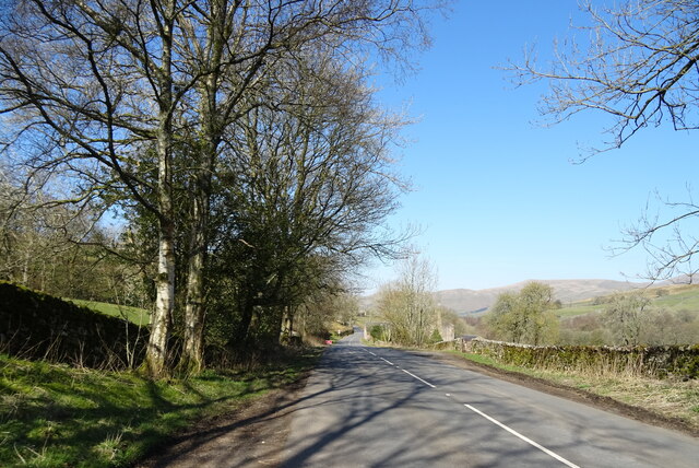
Today, Faw Moor attracts visitors from far and wide, offering a range of outdoor activities. Hiking and walking trails crisscross the moorland, allowing visitors to explore the area's natural beauty at their own pace. Wildlife enthusiasts can spot various bird species, including red grouse and curlews, as well as mammals such as hares and foxes.
Whether it's the captivating scenery, the rich history, or the chance to immerse oneself in nature, Faw Moor is a destination that showcases the best of Yorkshire's Downs and Moorland.
If you have any feedback on the listing, please let us know in the comments section below.
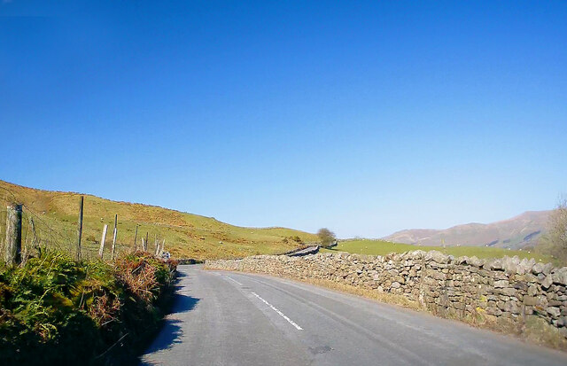
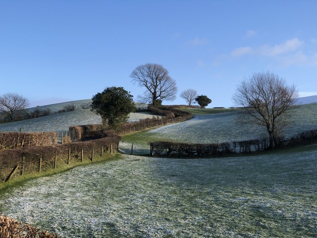
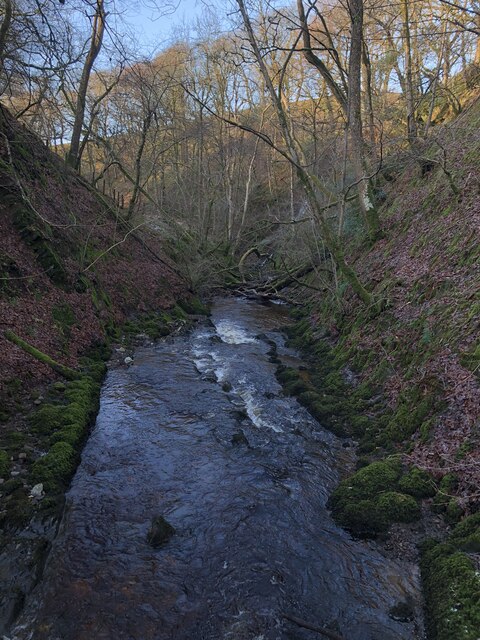
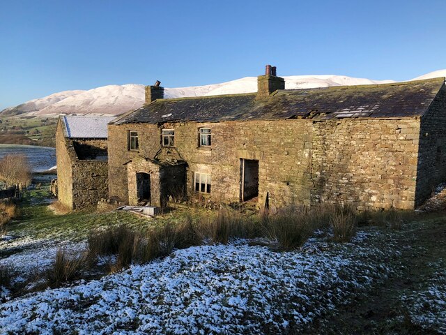
Faw Moor Images
Images are sourced within 2km of 54.322083/-2.4662026 or Grid Reference SD6991. Thanks to Geograph Open Source API. All images are credited.
Faw Moor is located at Grid Ref: SD6991 (Lat: 54.322083, Lng: -2.4662026)
Division: West Riding
Administrative County: Cumbria
District: South Lakeland
Police Authority: Cumbria
What 3 Words
///erupt.ideals.intruding. Near Sedbergh, Cumbria
Nearby Locations
Related Wikis

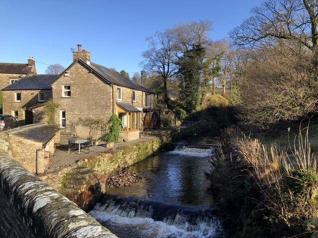
Clough River
The Clough River is a river in Cumbria, England. A tributary of the River Rawthey, it flows for 21.8 kilometres (13.5 mi) primarily through the Garsdale...

Settlebeck School
Settlebeck School is a small coeducational secondary school with academy status. It is located in Sedbergh in the English county of Cumbria, drawing pupils...

Millthrop
Millthrop is a hamlet in the South Lakeland district of Cumbria, Northern England and the Yorkshire Dales. Millthrop lies on the south bank of the River...

Sedbergh
Sedbergh ( SED-bər or locally SEB-ər) is a town and civil parish in the ceremonial county of Cumbria. It falls within the historic boundaries of the West...
Nearby Amenities
Located within 500m of 54.322083,-2.4662026Have you been to Faw Moor?
Leave your review of Faw Moor below (or comments, questions and feedback).