The Belt

Wood, Forest in Dorset

England

The Belt

Former chapel at Holwell
Former chapel at Holwell Credit: David Martin

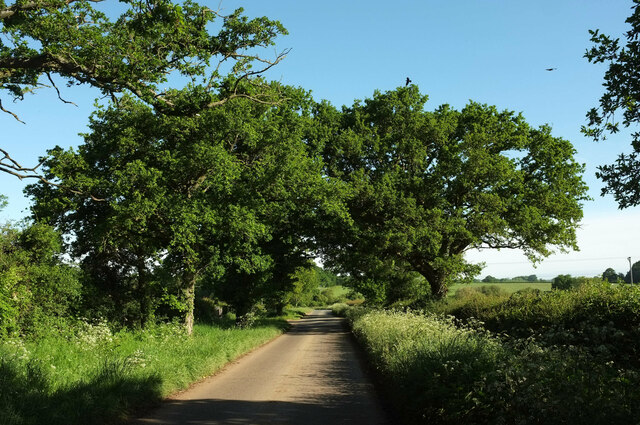
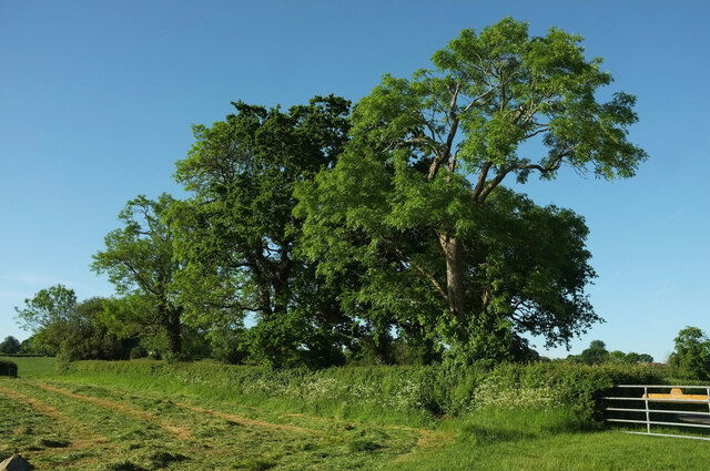
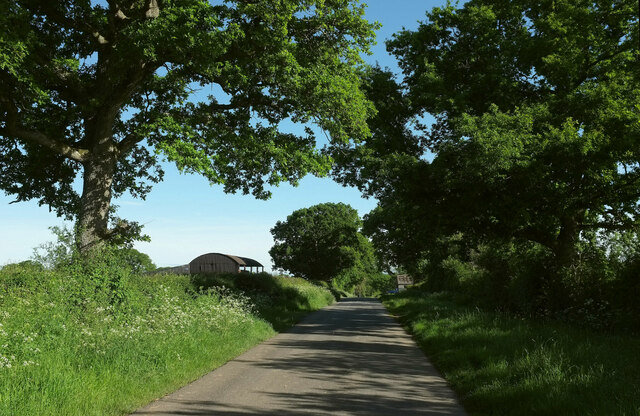
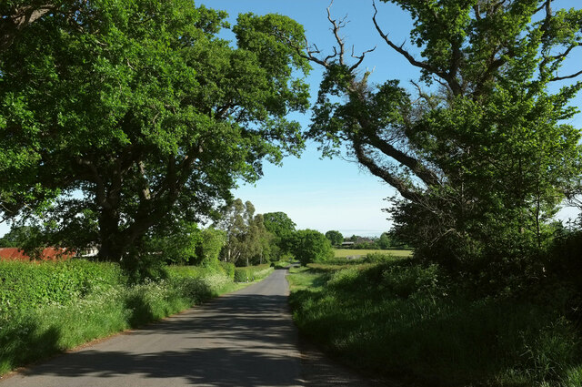
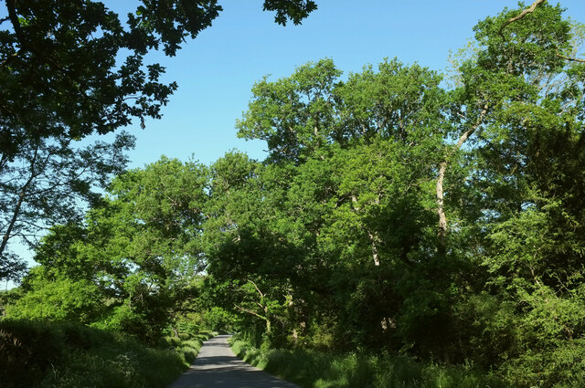
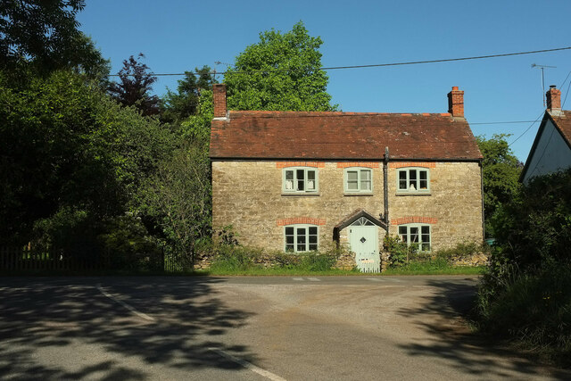
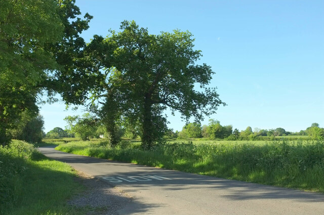
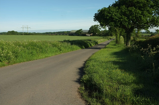
The Belt, located in Dorset, England, is a picturesque woodland area renowned for its natural beauty and rich biodiversity. Spread across acres of land, this forest is a haven for nature enthusiasts and adventurers alike. The Belt is characterized by its dense canopy of ancient oak trees, which provide a serene and tranquil environment for visitors.

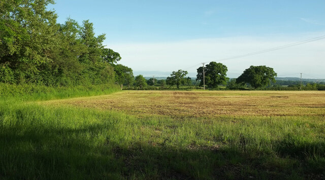
The forest floor is covered in a vibrant carpet of mosses, ferns, and wildflowers, creating a stunning visual spectacle. The area is renowned for its diverse wildlife, including a wide range of bird species, small mammals, and insects. Visitors may be lucky enough to spot elusive creatures such as deer, foxes, and badgers in their natural habitat.

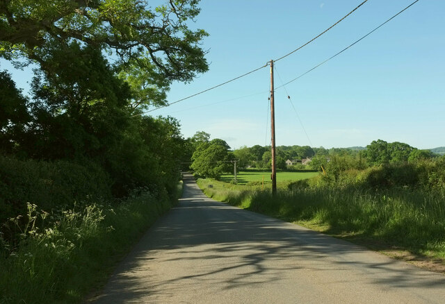
In addition to its natural wonders, The Belt offers a variety of outdoor recreational activities. There are numerous walking and hiking trails that wind through the forest, allowing visitors to immerse themselves in the beauty of the surroundings. These paths cater to different skill levels, ensuring that everyone can enjoy a pleasant stroll or a challenging trek.

Camping is a popular activity in The Belt, with designated areas for tents and campfires. The forest is also a great spot for birdwatching, photography, and picnicking. It is important for visitors to respect the natural environment and adhere to any guidelines provided to preserve the delicate ecosystem.

Overall, The Belt in Dorset is a true gem for nature lovers, offering a unique opportunity to connect with the natural world and experience the tranquility of a beautiful woodland setting.

If you have any feedback on the listing, please let us know in the comments section below.
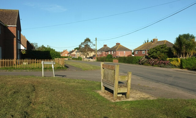
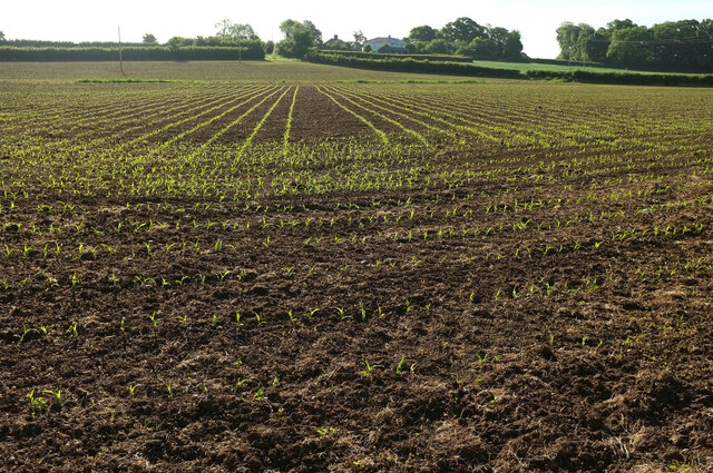
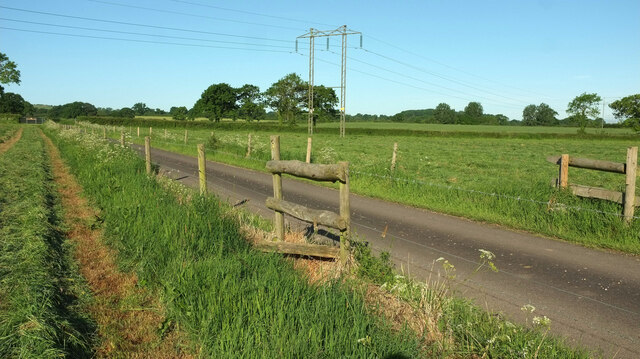
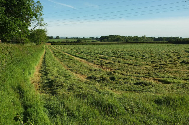
The Belt Images

Images are sourced within 2km of 50.888252/-2.439713 or Grid Reference ST6909. Thanks to Geograph Open Source API. All images are credited.

Former chapel at Holwell
Lane to Holwell Roadside trees on a straight lane passing Oakwood View.
Lane to Holwell
Roadside trees on a straight lane passing Oakwood View.
Trees near Hartmoor Farm Along the lane from Holwell to Pulham.
Trees near Hartmoor Farm
Along the lane from Holwell to Pulham.
Passing Holwell Hill Farm On the lane from Pulham to Holwell.
Passing Holwell Hill Farm
On the lane from Pulham to Holwell.
Lane to Holwell A little further north from <a href="https://www.geograph.org.uk/photo/7184565">ST7010 : Passing Holwell Hill Farm</a>. A little of the village of Holwell is visible ahead right of centre.
Lane to Holwell
A little further north from ST7010 : Passing Holwell Hill Farm. A little of the village of Holwell is visible ahead right of centre.
Crouch Hill Farm The thatched farmhouse on Holwell Drove is "possibly of C17 origin ..." <span class="nowrap"><a title="https://historicengland.org.uk/listing/the-list/list-entry/1304895?section=official-list-entry" rel="nofollow ugc noopener" href="https://historicengland.org.uk/listing/the-list/list-entry/1304895?section=official-list-entry">Link</a><img style="margin-left:2px;" alt="External link" title="External link - shift click to open in new window" src="https://s1.geograph.org.uk/img/external.png" width="10" height="10"/></span> .
Crouch Hill Farm
The thatched farmhouse on Holwell Drove is "possibly of C17 origin ..." LinkExternal link .
Holwell Drove Approaching a slight right bend, the only bend in the one and a half kilometres road between Holwell and Sandhills. Its drove-like quality is more pronounced towards the western end.
Holwell Drove
Approaching a slight right bend, the only bend in the one and a half kilometres road between Holwell and Sandhills. Its drove-like quality is more pronounced towards the western end.
Holwell Manor House Grade II* listed. "Country House, C16 with much rebuilding of 1889" <span class="nowrap"><a title="https://historicengland.org.uk/listing/the-list/list-entry/1118845?section=official-list-entry" rel="nofollow ugc noopener" href="https://historicengland.org.uk/listing/the-list/list-entry/1118845?section=official-list-entry">Link</a><img style="margin-left:2px;" alt="External link" title="External link - shift click to open in new window" src="https://s1.geograph.org.uk/img/external.png" width="10" height="10"/></span> . Seen past the entrance gate on Holwell Drove <a href="https://www.geograph.org.uk/photo/7564503">ST6810 : Holwell Drove</a>.
Holwell Manor House
Grade II* listed. "Country House, C16 with much rebuilding of 1889" LinkExternal link . Seen past the entrance gate on Holwell Drove ST6810 : Holwell Drove.
Cottage, Sandhills Tess Cottage is opposite the junction of Holwell Drove (foreground) with Stock Hill Lane. Presumably named as a whimsical reference to Hardy's famous character who spent time in the Blackmore Vale, which we are in.
Cottage, Sandhills
Tess Cottage is opposite the junction of Holwell Drove (foreground) with Stock Hill Lane. Presumably named as a whimsical reference to Hardy's famous character who spent time in the Blackmore Vale, which we are in.
Stock Hill Lane Passing Rails Farm. To the right of the telegraph pole is Magog Farm.
Stock Hill Lane
Passing Rails Farm. To the right of the telegraph pole is Magog Farm.
Field, Pulham Pulham Business Park is on the other side of the trees on the left.
Field, Pulham
Pulham Business Park is on the other side of the trees on the left.
Houses at Pulham Alongside the B3143.
Houses at Pulham
Alongside the B3143.
Pulham Not the prettiest of Dorset villages. The B3143 on the right passes through; the turning on the left is Halsey Green. The church is isolated on a side road off to the east <a title="https://www.geograph.org.uk/gridref/ST7108?centi=ST711085" href="https://www.geograph.org.uk/gridref/ST7108?centi=ST711085">Link</a> .
Pulham
Not the prettiest of Dorset villages. The B3143 on the right passes through; the turning on the left is Halsey Green. The church is isolated on a side road off to the east Link .
Arable field near Hartmoor Farm I think this is baby maize, seen looking along the line of  footpath N49 14. Fairly easy to cross without treading on any of them.
Arable field near Hartmoor Farm
I think this is baby maize, seen looking along the line of footpath N49 14. Fairly easy to cross without treading on any of them.
Stiles near Hartmoor Farm On footpath N49 14, and designed for those long legs. Frankly, I couldn't face climbing over both of them. so took to the farm drive to reach the lane to Holwell.
Stiles near Hartmoor Farm
On footpath N49 14, and designed for those long legs. Frankly, I couldn't face climbing over both of them. so took to the farm drive to reach the lane to Holwell.
Mown grass near Hartmoor Farm From the start of the drive to the farm.
Mown grass near Hartmoor Farm
From the start of the drive to the farm.
Trees by the road to Pulham From the start of the drive to Hartmoor Farm.
Trees by the road to Pulham
From the start of the drive to Hartmoor Farm.
Road to Holwell Looking in the other direction from <a href="https://www.geograph.org.uk/photo/7562911">ST7009 : Trees by the road to Pulham</a>.
Road to Holwell
Looking in the other direction from ST7009 : Trees by the road to Pulham.
Show me another place!

The Belt is located at Grid Ref: ST6909 (Lat: 50.888252, Lng: -2.439713)

Unitary Authority: Dorset

Police Authority: Dorset

What 3 Words

///circle.dumplings.orbit. Near Sherborne, Dorset

Related Wikis

Holwell, Dorset

Holwell is a village and civil parish in the county of Dorset in southern England, situated approximately 5 miles (8.0 km) south-east of Sherborne. It...

Pulham

Pulham is a village and civil parish in the county of Dorset in south-west England. It is situated in the Blackmore Vale, 7 miles (11 kilometres) southeast...

Glanvilles Wootton

Glanvilles Wootton, or Wootton Glanville, is a village and civil parish in the county of Dorset in southern England. It is situated in the Blackmore Vale...

Holnest SSSI, Dorset

Holnest SSSI, Dorset (grid reference ST667106) is a 54.83 hectare biological Site of Special Scientific Interest in Dorset, notified in 2004.The site has...

Dungeon Hill

Dungeon Hill is an Iron Age hillfort, about 1+1⁄4 miles (2 kilometres) north of the village of Buckland Newton in Dorset, England. It is a scheduled monument...

Woodbridge, Dorset

Woodbridge is a hamlet in Dorset, England. The village is on the A3030 road and to the north east of Holwell. == History == Woodbridge was part of the...

Bishop's Caundle

Bishop's Caundle is a village and civil parish in Dorset, South West England. It is situated 6 miles (9.7 km) south-east of Sherborne. The local travel...

Holnest

Holnest is a village and civil parish in the county of Dorset in southern England. It lies in the Blackmore Vale 4 miles (6.4 km) south of Sherborne. It...

Nearby Amenities

Located within 500m of 50.888252,-2.439713
Colour: gray
Design: portal
Line Attachment: suspension
Material: metal
Power: tower
Source: bing
Structure: lattice
Lat/Long: 50.8846603/-2.4386537
Colour: gray
Design: portal
Line Attachment: suspension
Material: metal
Power: tower
Source: bing
Structure: lattice
Lat/Long: 50.8849651/-2.4409807
Colour: gray
Design: portal
Line Attachment: suspension
Material: metal
Power: tower
Source: bing
Structure: lattice
Lat/Long: 50.8854508/-2.4446348
Material: wood
Power: pole
Source: bing
Lat/Long: 50.884853/-2.4363858
Material: wood
Power: pole
Source: bing
Lat/Long: 50.8850871/-2.4390917
Material: wood
Power: pole
Source: bing
Lat/Long: 50.8852659/-2.4410742
Material: wood
Power: pole
Source: bing
Lat/Long: 50.8862742/-2.4427065
Material: wood
Power: pole
Source: bing
Lat/Long: 50.8872194/-2.444251
Material: wood
Power: pole
Source: bing
Lat/Long: 50.888003/-2.4455803
Material: wood
Power: pole
Source: bing
Lat/Long: 50.8886528/-2.4466871
The data included in this document is from www.openstreetmap.org. The data is made available under ODbL.

Have you been to The Belt?

Leave your review of The Belt below (or comments, questions and feedback).