Cunliffe House Wood
Wood, Forest in Lancashire Ribble Valley
England
Cunliffe House Wood
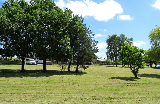
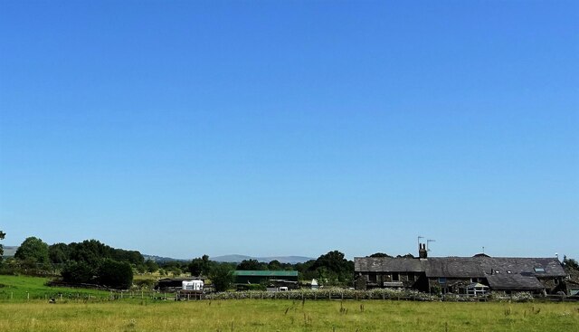
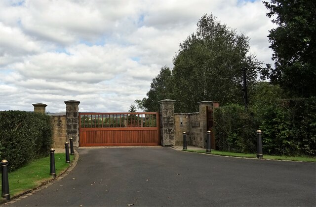
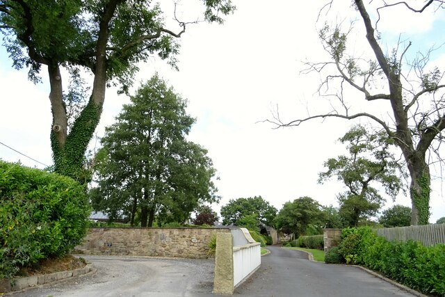
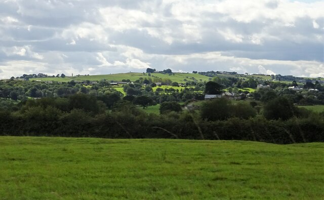
Cunliffe House Wood is a picturesque woodland located in Lancashire, England. Situated near the village of Wood, it covers an area of approximately 50 acres and is known for its diverse range of flora and fauna. The wood is owned and managed by a local conservation organization, who ensure its protection and preservation.
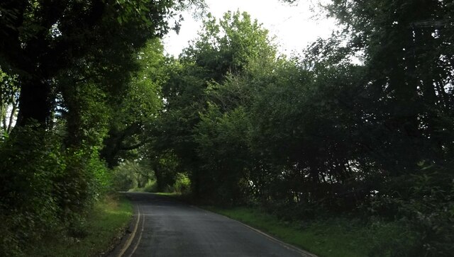
The woodland features a mixture of deciduous and coniferous trees, creating a rich and vibrant habitat for many species. Oak, beech, and birch trees dominate the landscape, while Scots pine and spruce provide additional variety. The dense canopy provides shade and shelter, allowing the growth of an array of woodland plants, including bluebells, primroses, and wood sorrel.
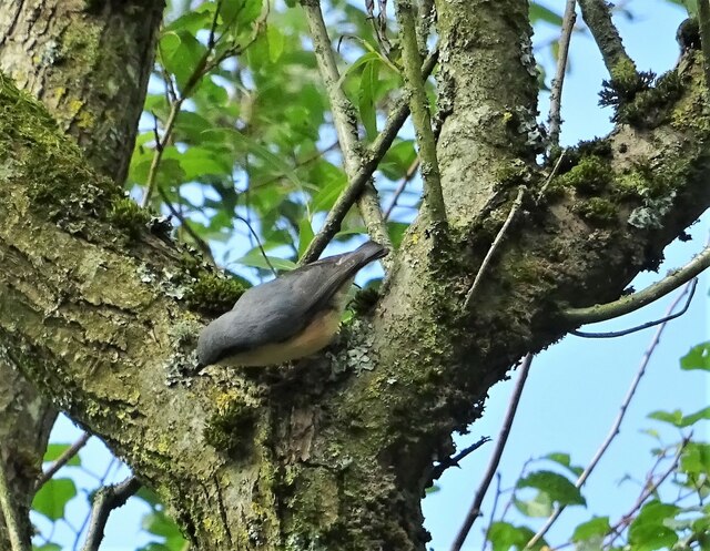
Cunliffe House Wood is a haven for wildlife enthusiasts, offering an abundance of wildlife to observe. Visitors may spot roe deer, foxes, and badgers roaming through the wood, while birdwatchers can enjoy sightings of woodpeckers, owls, and various songbirds. The wood is also home to a variety of butterflies and insects, adding to its ecological importance.
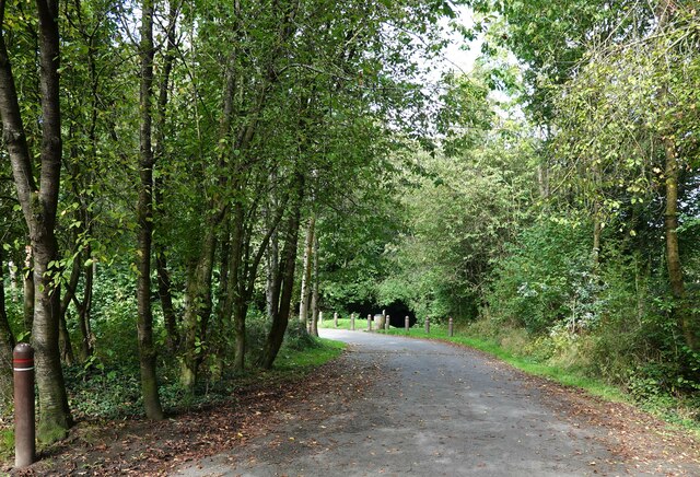
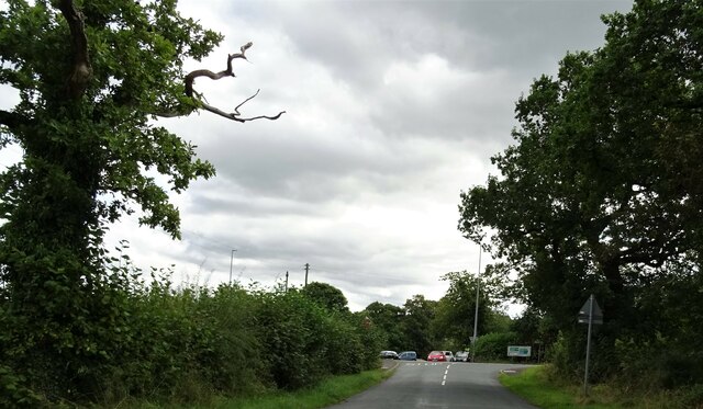
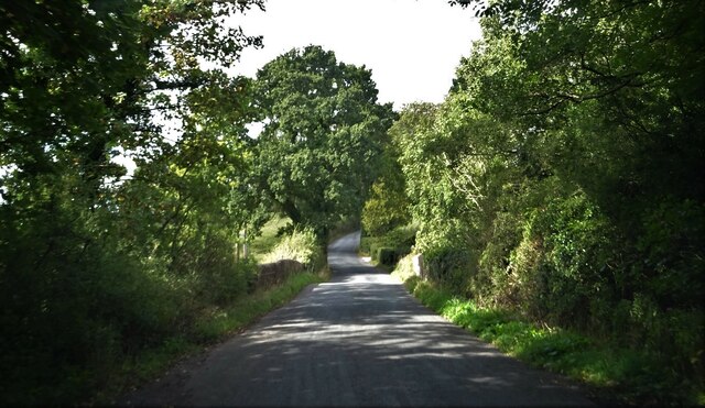
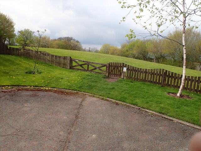
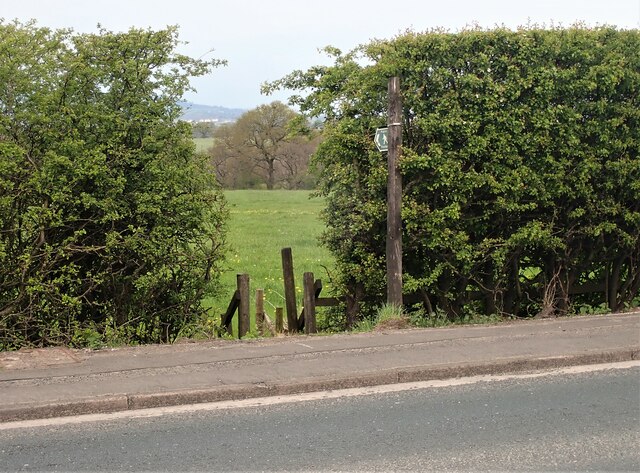
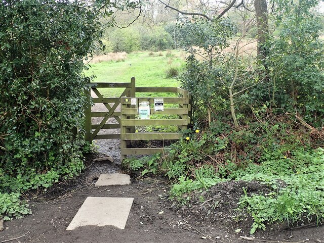
There are several walking trails within the woodland, providing visitors with the opportunity to explore its beauty at their own pace. The paths wind through the trees, offering glimpses of the surrounding countryside and providing a tranquil escape from urban life.
Overall, Cunliffe House Wood is a cherished natural gem in Lancashire, offering visitors a chance to appreciate the beauty of a well-preserved woodland ecosystem.
If you have any feedback on the listing, please let us know in the comments section below.
Cunliffe House Wood Images
Images are sourced within 2km of 53.806718/-2.469589 or Grid Reference SD6934. Thanks to Geograph Open Source API. All images are credited.

Cunliffe House Wood is located at Grid Ref: SD6934 (Lat: 53.806718, Lng: -2.469589)
Administrative County: Lancashire
District: Ribble Valley
Police Authority: Lancashire
What 3 Words
///paves.cats.perfected. Near Langho, Lancashire
Nearby Locations
Related Wikis

Dinckley
Dinckley is a small village and civil parish located in the Ribble Valley, in Lancashire, England. Owing to the limited extent of the population details...

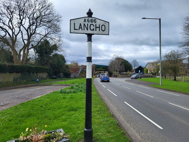
Langho
Langho is a small rural village 5 miles (8 km) north of Blackburn in the Ribble Valley, Lancashire, England. It is part of the parish of Billington and...

Langho railway station
Langho railway station serves the village of Langho in the Ribble Valley in Lancashire, England. The station is 5+1⁄4 miles (8.4 km) north of Blackburn...

Northcote, Langho
Northcote is a hotel and restaurant in a 19th-century manor house in Langho, Lancashire, England. The restaurant has held a Michelin star since the 1996...

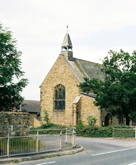
Old St Leonard's Church, Langho
Old St Leonard's Church is a redundant Anglican church 1 mile (1.6 km) northwest of the village of Langho, Lancashire, England. It is recorded in the...

Salesbury
Salesbury is a village and civil parish in Ribble Valley, located centrally in the county of Lancashire, England. The B6245 road runs straight through...

Clayton-le-Dale
Clayton-le-Dale is a village and civil parish situated on the A59 road near Blackburn, in Lancashire, England. The population of the civil parish as of...
New St Leonard's Church, Langho
New St Leonard's Church is in Whalley New Road, between the villages of Langho and Billington in Lancashire, England. It is an active Anglican parish...
Related Videos

Tolkien Trail Circular Hike | Lancashire Walk
Today, me and my family explore the Tolkien Trail in Lancashire. People come from all over the world to walk the famous Tolkien ...

HIKING in the Forest of Bowland - LANCASHIRE WALKS!
A nice and muddy 6 mile walk through the countryside of the Forest of Bowland. Hurst Green & Hobbit Hill Circular.

Walk 2 - Walking StonyHurst College via Dean Brook in Clitheroe - Footsteps of Tolkien all in 4K
This walk starts in the village of Hurst Green where you enter the first field via the road named "Smithy Row" with you entering the ...

The Tolkien Trail Hike | Forest of Bowland
Joined by my friend Vicki, we drove from Preston for about 30 minutes to the village of Hurst Green, near Clitheroe. Here there is a ...
Nearby Amenities
Located within 500m of 53.806718,-2.469589Have you been to Cunliffe House Wood?
Leave your review of Cunliffe House Wood below (or comments, questions and feedback).