Burnfoot
Settlement in Dumfriesshire
Scotland
Burnfoot
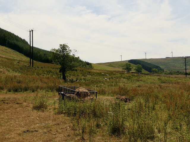
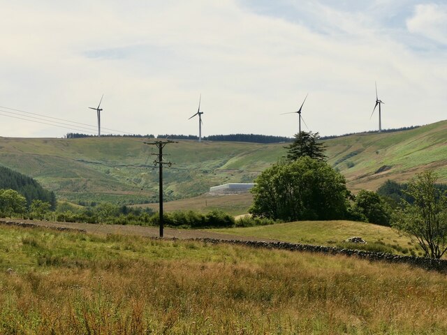
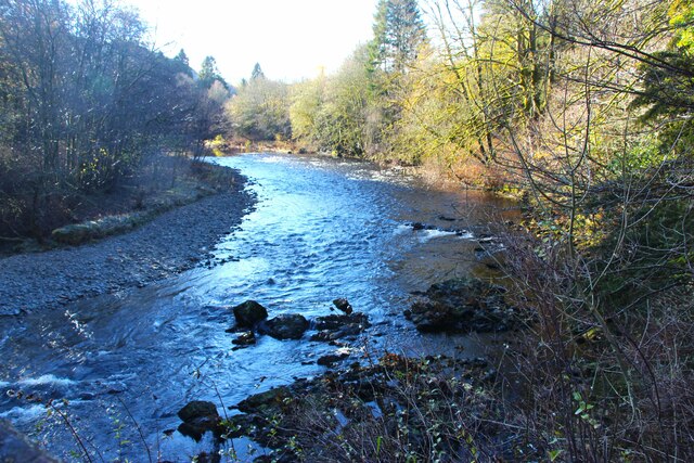
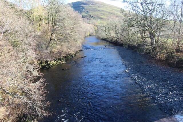
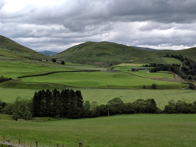
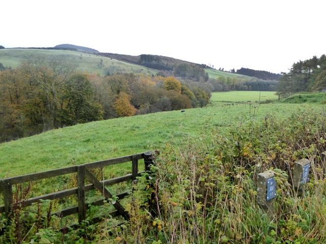
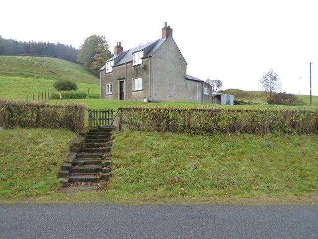
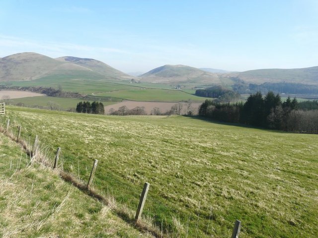
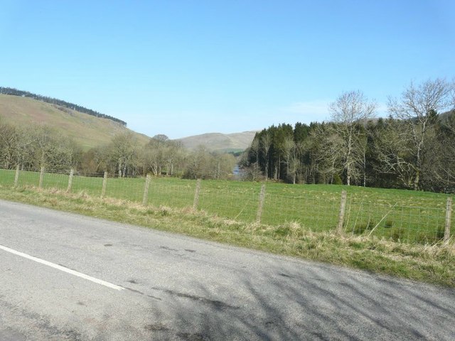
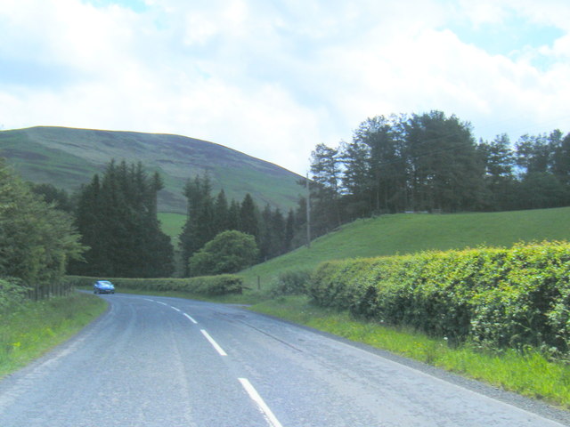
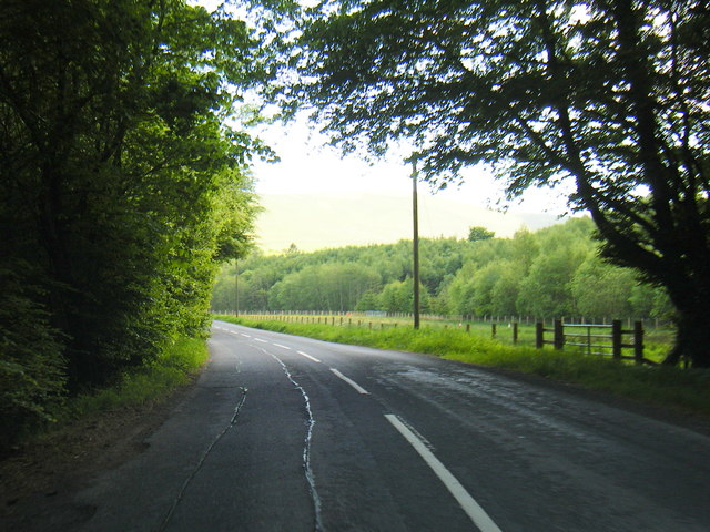
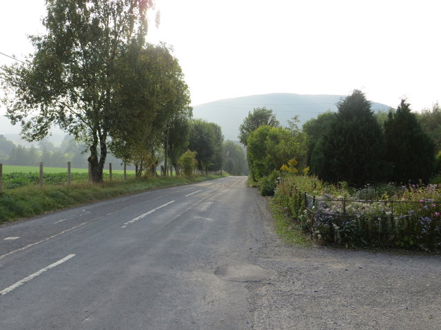
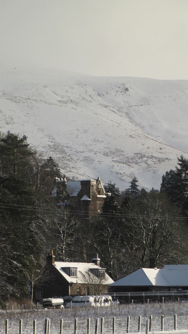
Burnfoot is a small village located in the county of Dumfriesshire in southwestern Scotland. Situated about 3 miles southeast of the town of Langholm, it lies near the border with England and is part of the historic region of Eskdale. The village is nestled in a picturesque setting, surrounded by rolling hills and woodland.
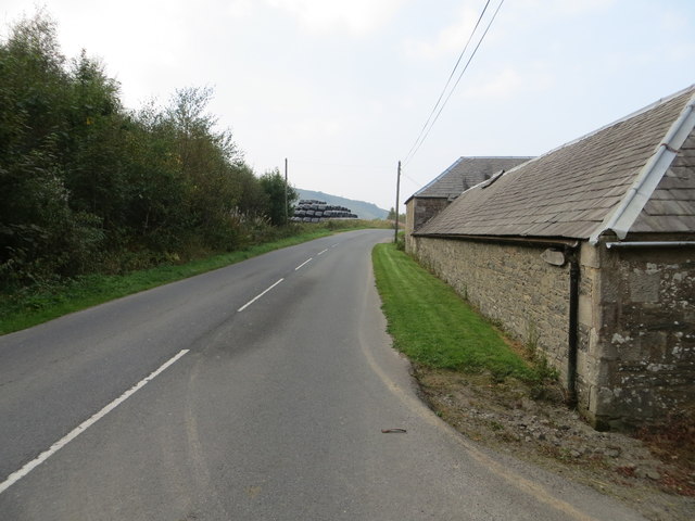
Burnfoot has a population of approximately 200 residents, making it a close-knit and tight community. The village primarily consists of residential houses, with a few local amenities to serve its inhabitants. These include a village hall, a primary school, and a local shop providing essential goods to the residents.
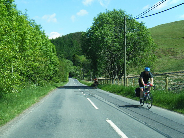
The village is well-connected to the surrounding areas by road, with the A7 running nearby, providing easy access to Langholm and other nearby towns. The natural beauty of the region makes Burnfoot an attractive destination for outdoor enthusiasts, with numerous walking and cycling trails in the vicinity.
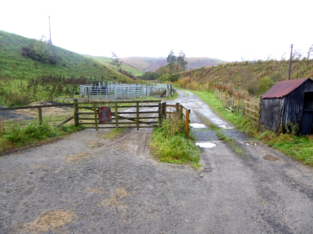
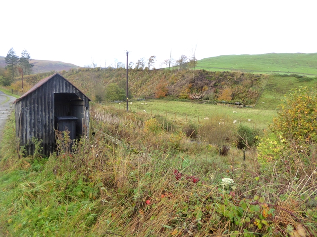
Historically, Burnfoot was primarily an agricultural community, with farming and sheep rearing being the main occupations. While agriculture still plays a role in the local economy, the village has seen some diversification, with residents working in various sectors including tourism and small businesses.
Overall, Burnfoot offers a peaceful and scenic place to live, with its tranquil surroundings and strong sense of community. With its convenient location and abundant natural beauty, it attracts those seeking a rural lifestyle while remaining accessible to nearby towns and cities.
If you have any feedback on the listing, please let us know in the comments section below.
Burnfoot Images
Images are sourced within 2km of 55.189718/-3.0454416 or Grid Reference NY3388. Thanks to Geograph Open Source API. All images are credited.
Burnfoot is located at Grid Ref: NY3388 (Lat: 55.189718, Lng: -3.0454416)
Unitary Authority: Dumfries and Galloway
Police Authority: Dumfries and Galloway
What 3 Words
///briskly.visa.printout. Near Bentpath, Dumfries & Galloway
Nearby Locations
Related Wikis

Eskdale (Scotland)
Eskdale (Scottish Gaelic: Eisgeadal, IPA:[ˈeʃkʲət̪əɫ̪]) is a glen and former lordship in the county of Dumfriesshire, Scotland. The River Esk flows through...
Barntalloch Castle
Barntalloch Castle was a castle located at Staplegorton, in Dumfries and Galloway, Scotland. The castle was built in the 12th century by Galfrid de Coninsburgh...

Bentpath
Bentpath is a small village between Eskdalemuir and Langholm in Dumfries and Galloway, Scotland. It is located on the River Esk and has a church and a...

Ewesdale
Ewesdale is a glen and former lordship in Dumfries and Galloway, Scotland. The Ewes Water runs through the valley from its source at Mosspaul, until it...

Duchess Bridge
The Duchess Bridge is a cast iron footbridge over the River Esk in Dumfries and Galloway, Scotland. It was built for Charles Montagu-Scott, 4th Duke of...

Langholm Academy
Langholm Academy is a non-denominational, co-educational six-year comprehensive secondary school in Langholm, Scotland. Currently, the school has 240 pupils...
Arkleton
Arkleton is a mansion and estate in the civil parish of Ewes, in Dumfries and Galloway, Scotland. Arkleton House was built in 1860/1884 and incorporates...

Langholm
Langholm , also known colloquially as the "Muckle Toon", is a burgh in Dumfries and Galloway, southern Scotland. Langholm lies between four hills in the...
Nearby Amenities
Located within 500m of 55.189718,-3.0454416Have you been to Burnfoot?
Leave your review of Burnfoot below (or comments, questions and feedback).