Little Hill

Hill, Mountain in Dumfriesshire

Scotland

Little Hill

Below Little Hill During a very dry Summer.  This was the last hot day however.
Below Little Hill Credit: Richard Webb

Little Hill is a small hill located in Dumfriesshire, Scotland. Situated in the southern part of the country, it forms part of the picturesque landscape of the region. Despite its modest size, Little Hill offers breathtaking views and a serene atmosphere for visitors.

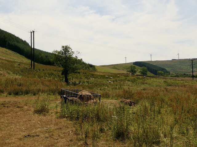
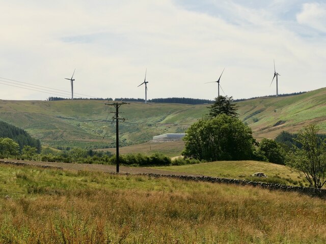
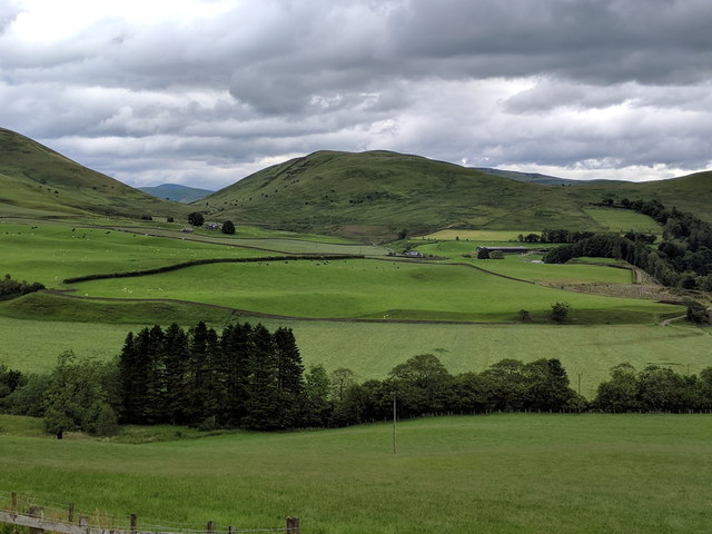
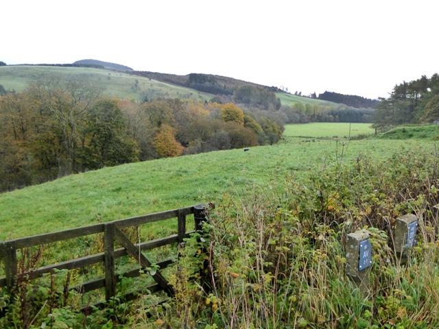
Standing at an elevation of approximately 250 meters, Little Hill is covered in lush greenery, consisting of grass, heather, and scattered trees. The hill is known for its gentle slopes, making it accessible to hikers of all levels. The well-maintained trails allow visitors to explore its beauty while enjoying a leisurely walk or a more challenging climb.

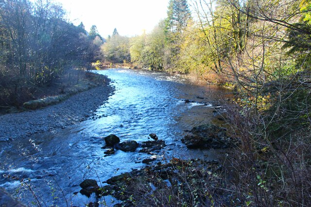
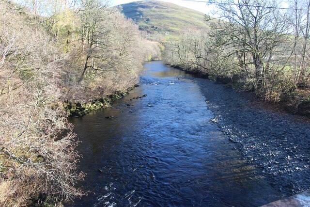
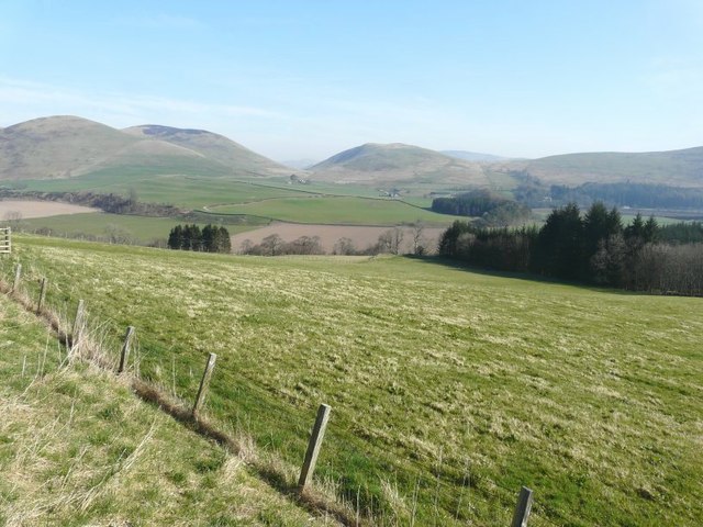
At the summit of Little Hill, visitors are greeted with panoramic views of the surrounding countryside. On clear days, one can see the rolling hills, vast farmlands, and nearby rivers that traverse the region. The hill's elevation also provides a vantage point to admire the distant hills and mountains that dot the landscape.

Little Hill is not only a haven for nature enthusiasts but also a habitat for various wildlife. Birdwatchers can spot a range of avian species, including buzzards, kestrels, and occasional majestic eagles soaring above. The hill's vegetation provides a home for numerous small mammals and insects as well, adding to the biodiversity of the area.

Whether it's for a peaceful stroll, a challenging hike, or an opportunity to connect with nature, Little Hill in Dumfriesshire offers a serene escape from the hustle and bustle of everyday life. Its natural beauty, combined with its accessibility, makes it a popular destination for both locals and tourists alike.

If you have any feedback on the listing, please let us know in the comments section below.
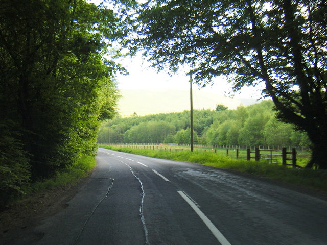
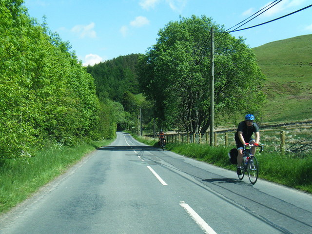
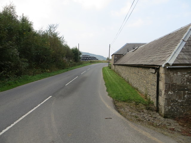
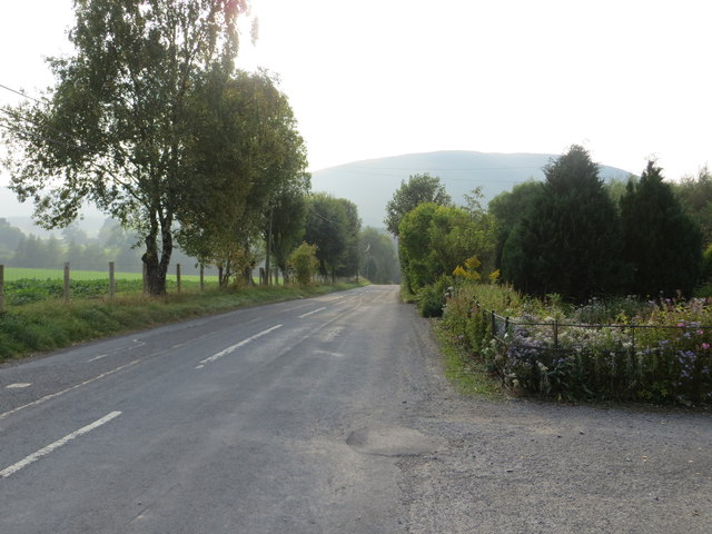
Little Hill Images

Images are sourced within 2km of 55.183043/-3.0410108 or Grid Reference NY3388. Thanks to Geograph Open Source API. All images are credited.

Below Little Hill During a very dry Summer.  This was the last hot day however.
Below Little Hill
During a very dry Summer. This was the last hot day however.
View towards Craig windfarm
River Esk at Burnfoot
The Esk valley, seen from the roadside
View down Eskdale Near Hopsrig Farm.
View down Eskdale
Near Hopsrig Farm.
Bombie Cottage Cottage beside the B709.
Bombie Cottage
Cottage beside the B709.
Milnholm Farm This farm on the north side of Langholm was viewed from Castle Hill.
Milnholm Farm
This farm on the north side of Langholm was viewed from Castle Hill.
The B709 south of Craigcleuch The trees mark the position of Craigcleuch, which is situated in Eskdale.
The B709 south of Craigcleuch
The trees mark the position of Craigcleuch, which is situated in Eskdale.
View from B709 north of Craigcleuch
B709 south-east of Hopsrig Farm
B709 near Camra Cottages
Road (B709) and Barn at Hopsrig Looking north-westward.
Road (B709) and Barn at Hopsrig
Looking north-westward.
Road (B709) at Camra Cottages Looking westward.
Road (B709) at Camra Cottages
Looking westward.
Ordnance Survey Cut Mark This can be found on a roadside barn wall at Hopsrig.
For more detail see : <span class="nowrap"><a title="http://www.bench-marks.org.uk/bm31178" rel="nofollow ugc noopener" href="http://www.bench-marks.org.uk/bm31178">Link</a><img style="margin-left:2px;" alt="External link" title="External link - shift click to open in new window" src="https://s1.geograph.org.uk/img/external.png" width="10" height="10"/></span>
Ordnance Survey Cut Mark
This can be found on a roadside barn wall at Hopsrig. For more detail see : LinkExternal link
Ordnance Survey Flush Bracket S7360 This can be found on the wall of a private dwelling at Camra Cottages.
For more detail see : <span class="nowrap"><a title="http://www.bench-marks.org.uk/bm11286" rel="nofollow ugc noopener" href="http://www.bench-marks.org.uk/bm11286">Link</a><img style="margin-left:2px;" alt="External link" title="External link - shift click to open in new window" src="https://s1.geograph.org.uk/img/external.png" width="10" height="10"/></span>
Ordnance Survey Flush Bracket S7360
This can be found on the wall of a private dwelling at Camra Cottages. For more detail see : LinkExternal link
Esk Valley north of Langholm Esk Valley north of Langholm showing Golf, Bauchle and Wrae Hills
Esk Valley north of Langholm
Esk Valley north of Langholm showing Golf, Bauchle and Wrae Hills
Sheepfold by Mill Beck
Show me another place!

Little Hill is located at Grid Ref: NY3388 (Lat: 55.183043, Lng: -3.0410108)

Unitary Authority: Dumfries and Galloway

Police Authority: Dumfries and Galloway

What 3 Words

///badminton.options.prosper. Near Bentpath, Dumfries & Galloway

Related Wikis

Barntalloch Castle

Barntalloch Castle was a castle located at Staplegorton, in Dumfries and Galloway, Scotland. The castle was built in the 12th century by Galfrid de Coninsburgh...

Eskdale (Scotland)

Eskdale (Scottish Gaelic: Eisgeadal, IPA:[ˈeʃkʲət̪əɫ̪]) is a glen and former lordship in the county of Dumfriesshire, Scotland. The River Esk flows through...

Bentpath

Bentpath is a small village between Eskdalemuir and Langholm in Dumfries and Galloway, Scotland. It is located on the River Esk and has a church and a...

Duchess Bridge

The Duchess Bridge is a cast iron footbridge over the River Esk in Dumfries and Galloway, Scotland. It was built for Charles Montagu-Scott, 4th Duke of...

Nearby Amenities

Located within 500m of 55.183043,-3.0410108
Power: pole
Lat/Long: 55.1830165/-3.0480932
Power: pole
Lat/Long: 55.183139/-3.0469868
Power: pole
Lat/Long: 55.1832569/-3.0458307
Power: pole
Lat/Long: 55.1833795/-3.0446988
Power: pole
Lat/Long: 55.1834729/-3.0436823
Power: pole
Lat/Long: 55.1838925/-3.0424565
Power: pole
Lat/Long: 55.1842508/-3.0412281
Power: pole
Lat/Long: 55.1845586/-3.0402598
Power: pole
Lat/Long: 55.1848358/-3.0394042
Power: pole
Lat/Long: 55.1845188/-3.0386344
Power: pole
Lat/Long: 55.1840395/-3.0375427
Power: pole
Lat/Long: 55.1832707/-3.0371243
Power: pole
Lat/Long: 55.1825464/-3.0367541
Power: pole
Lat/Long: 55.1817301/-3.0364108
Power: pole
Lat/Long: 55.180874/-3.0360889
Little Hill
Ele: 188
Natural: peak
Lat/Long: 55.1833893/-3.0406708
Power: pole
Lat/Long: 55.184095/-3.0448517
Power: pole
Lat/Long: 55.1846155/-3.0449701
Power: pole
Lat/Long: 55.1854196/-3.0451323
Power: pole
Lat/Long: 55.1862414/-3.0453538
The data included in this document is from www.openstreetmap.org. The data is made available under ODbL.

Have you been to Little Hill?

Leave your review of Little Hill below (or comments, questions and feedback).