Burnfoot Hill

Hill, Mountain in Dumfriesshire

Scotland

Burnfoot Hill

Below Little Hill During a very dry Summer.  This was the last hot day however.
Below Little Hill Credit: Richard Webb

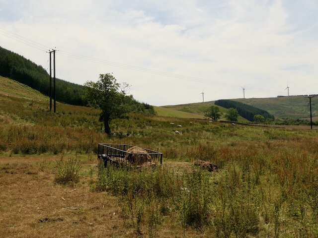
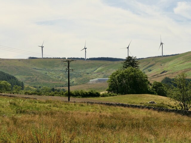
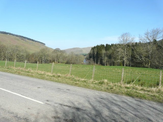
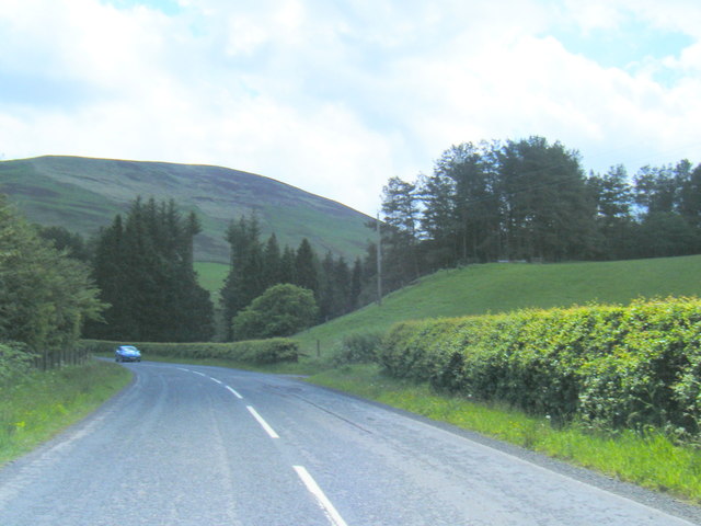
Burnfoot Hill is located in Dumfriesshire, Scotland, and is a prominent hill standing at an elevation of approximately 390 meters (1,280 feet) above sea level. It is part of the Southern Uplands, a range of hills and mountains that extend across southern Scotland and northern England.

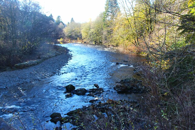
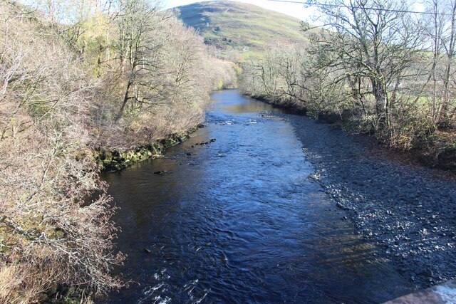
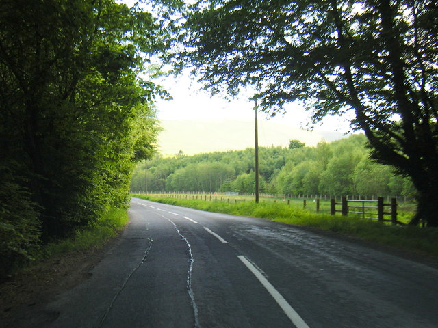
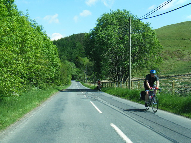
The hill is situated about 5 kilometers (3 miles) east of the small village of Ecclefechan. It is known for its distinctive conical shape and its commanding views of the surrounding countryside. On clear days, it offers panoramic vistas of the rolling Dumfriesshire landscape, with views extending as far as the Solway Firth and the Lake District National Park in England.

Burnfoot Hill is primarily composed of ancient sedimentary rocks, such as sandstone and shale, which were formed over millions of years. These rocks bear witness to the region's geological history and provide valuable insights into the Earth's past.

The hill is a popular destination for outdoor enthusiasts, offering various walking and hiking trails that cater to different levels of difficulty. Visitors can explore the surrounding countryside, enjoy the fresh air, and immerse themselves in the natural beauty of the area. The diverse flora and fauna found on and around the hill add to its appeal, making it a haven for nature lovers.

Overall, Burnfoot Hill is a picturesque and geologically fascinating landmark in Dumfriesshire, Scotland. Its accessibility and scenic beauty make it an attractive destination for both locals and tourists alike.

If you have any feedback on the listing, please let us know in the comments section below.

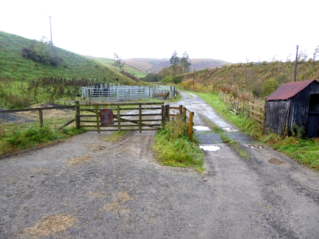
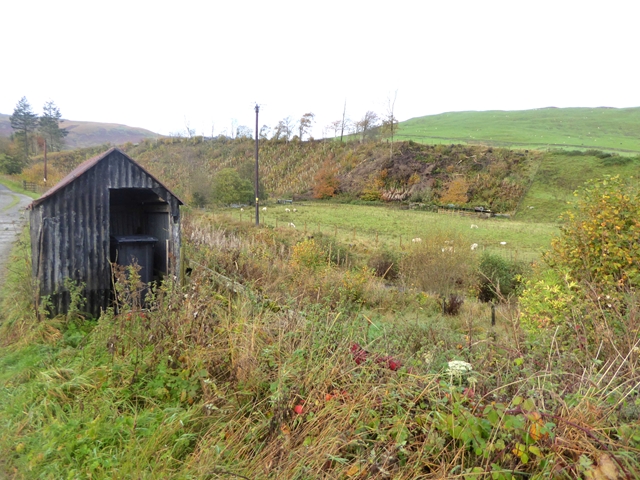
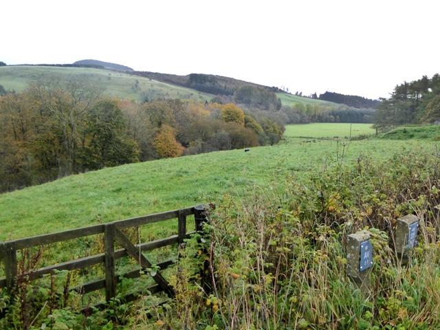
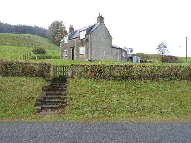
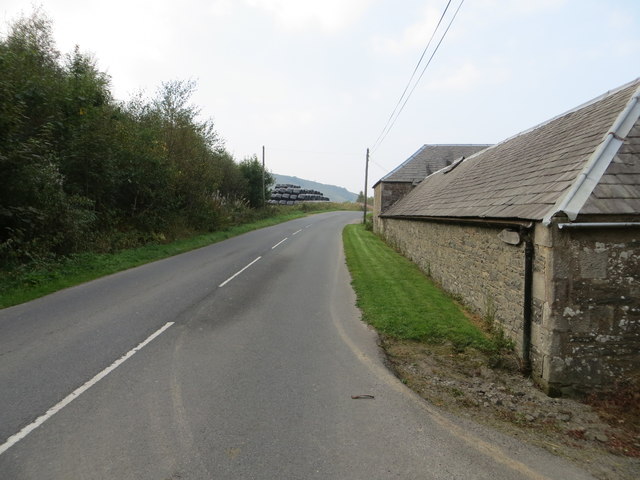
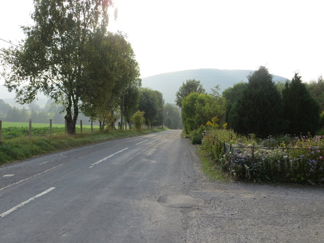
Burnfoot Hill Images

Images are sourced within 2km of 55.190347/-3.0527307 or Grid Reference NY3388. Thanks to Geograph Open Source API. All images are credited.

Below Little Hill During a very dry Summer.  This was the last hot day however.
Below Little Hill
During a very dry Summer. This was the last hot day however.
View towards Craig windfarm
River Esk at Burnfoot
Start of farm road to Old Hopsrig
Beside the gateway to the track to Old Hopsrig What looks very like a sentry box.
Beside the gateway to the track to Old Hopsrig
What looks very like a sentry box.
View down Eskdale Near Hopsrig Farm.
View down Eskdale
Near Hopsrig Farm.
Bombie Cottage Cottage beside the B709.
Bombie Cottage
Cottage beside the B709.
Eskdale view from B709 The River Esk can just be seen to the left of the conifers
Eskdale view from B709
The River Esk can just be seen to the left of the conifers
B709 southbound near Boyken Bank
B709 south-east of Hopsrig Farm
B709 near Camra Cottages
Road (B709) and Barn at Hopsrig Looking north-westward.
Road (B709) and Barn at Hopsrig
Looking north-westward.
Road (B709) at Camra Cottages Looking westward.
Road (B709) at Camra Cottages
Looking westward.
Ordnance Survey Cut Mark This can be found on a roadside barn wall at Hopsrig.
For more detail see : <span class="nowrap"><a title="http://www.bench-marks.org.uk/bm31178" rel="nofollow ugc noopener" href="http://www.bench-marks.org.uk/bm31178">Link</a><img style="margin-left:2px;" alt="External link" title="External link - shift click to open in new window" src="https://s1.geograph.org.uk/img/external.png" width="10" height="10"/></span>
Ordnance Survey Cut Mark
This can be found on a roadside barn wall at Hopsrig. For more detail see : LinkExternal link
Ordnance Survey Flush Bracket S7360 This can be found on the wall of a private dwelling at Camra Cottages.
For more detail see : <span class="nowrap"><a title="http://www.bench-marks.org.uk/bm11286" rel="nofollow ugc noopener" href="http://www.bench-marks.org.uk/bm11286">Link</a><img style="margin-left:2px;" alt="External link" title="External link - shift click to open in new window" src="https://s1.geograph.org.uk/img/external.png" width="10" height="10"/></span>
Ordnance Survey Flush Bracket S7360
This can be found on the wall of a private dwelling at Camra Cottages. For more detail see : LinkExternal link
Ridge between Hassgair Heads and Upper Brydonswell Knowe Across the valley of Dirn Burn are the plantation on Stell Brae. Across Eskdale the hills rise to Calkin Rig.
Ridge between Hassgair Heads and Upper Brydonswell Knowe
Across the valley of Dirn Burn are the plantation on Stell Brae. Across Eskdale the hills rise to Calkin Rig.
Upper Brydonswell Knowe Looking across Eskdale to Whitecleuch Fell.
Upper Brydonswell Knowe
Looking across Eskdale to Whitecleuch Fell.
Show me another place!

Burnfoot Hill is located at Grid Ref: NY3388 (Lat: 55.190347, Lng: -3.0527307)

Unitary Authority: Dumfries and Galloway

Police Authority: Dumfries and Galloway

What 3 Words

///navigate.financial.gullible. Near Bentpath, Dumfries & Galloway

Related Wikis

Eskdale (Scotland)

Eskdale (Scottish Gaelic: Eisgeadal, IPA:[ˈeʃkʲət̪əɫ̪]) is a glen and former lordship in the county of Dumfriesshire, Scotland. The River Esk flows through...

Bentpath

Bentpath is a small village between Eskdalemuir and Langholm in Dumfries and Galloway, Scotland. It is located on the River Esk and has a church and a...

Barntalloch Castle

Barntalloch Castle was a castle located at Staplegorton, in Dumfries and Galloway, Scotland. The castle was built in the 12th century by Galfrid de Coninsburgh...

Ewesdale

Ewesdale is a glen and former lordship in Dumfries and Galloway, Scotland. The Ewes Water runs through the valley from its source at Mosspaul, until it...

Nearby Amenities

Located within 500m of 55.190347,-3.0527307
Power: pole
Lat/Long: 55.188636/-3.0454671
Power: pole
Lat/Long: 55.1891917/-3.045243
The data included in this document is from www.openstreetmap.org. The data is made available under ODbL.

Have you been to Burnfoot Hill?

Leave your review of Burnfoot Hill below (or comments, questions and feedback).