Eskdale
Valley in Dumfriesshire
Scotland
Eskdale
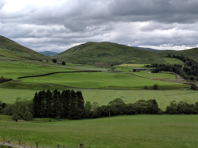
Eskdale is a picturesque valley located in the southern part of Dumfriesshire, a historic county in Scotland. Nestled amidst the stunning landscape of the Scottish Borders, Eskdale stretches for approximately 30 miles, encompassing an area of outstanding natural beauty.
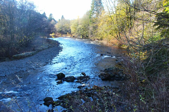
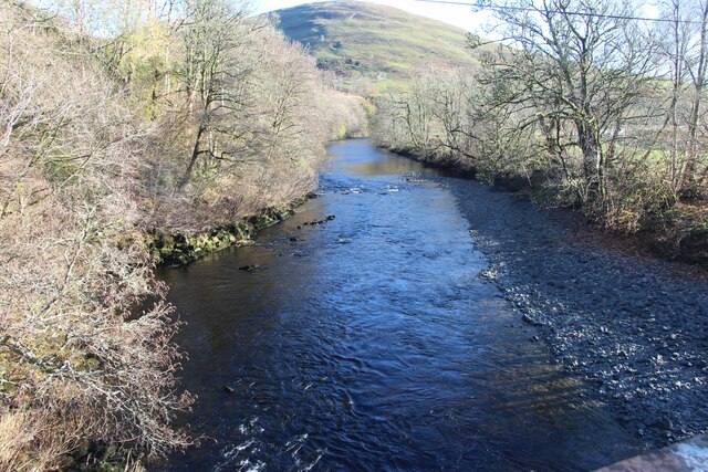
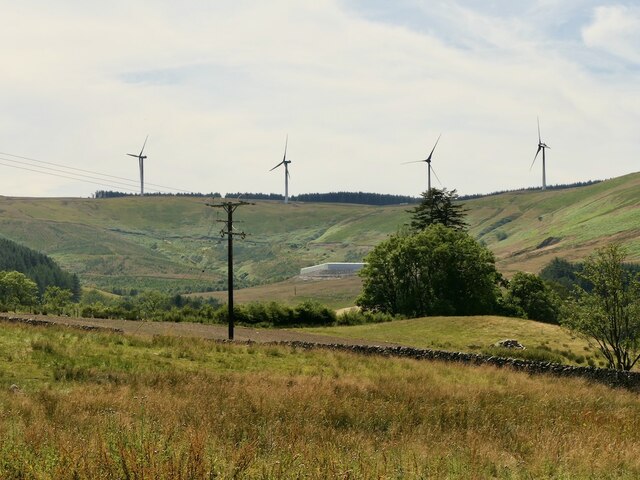
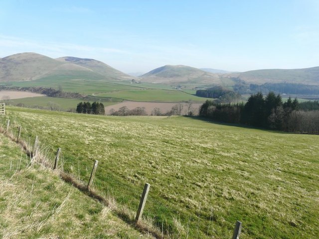
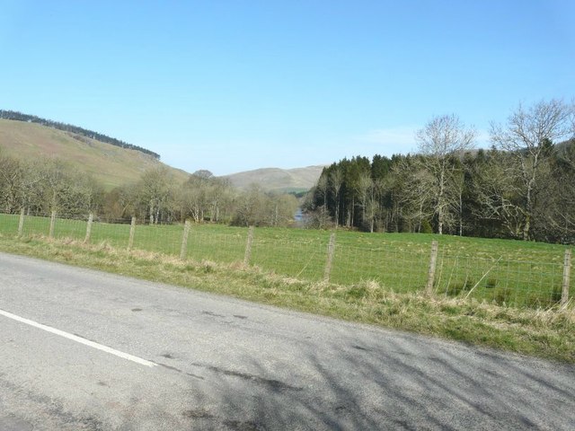
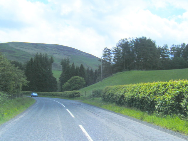
The valley is named after the River Esk, which meanders through its heart, adding to the charm and allure of the region. The river is known for its crystal-clear waters, making it a popular spot for fishing enthusiasts and nature lovers alike. The surrounding countryside boasts rolling hills, lush forests, and breathtaking views, making it a haven for hikers and outdoor enthusiasts.
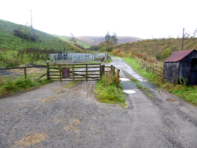
Eskdale is dotted with quaint villages and hamlets, each with its own unique character. The largest settlement in the valley is Langholm, a historic town with a rich heritage dating back to the 12th century. Langholm offers a range of amenities, including shops, cafes, and accommodation options, making it an ideal base for exploration.
Nature enthusiasts flock to Eskdale for its diverse wildlife, with the valley being home to several protected species, including red squirrels and otters. The region is also known for its birdwatching opportunities, with birds of prey such as buzzards and kestrels frequently spotted soaring in the skies above.
For those interested in history and culture, Eskdale offers a wealth of attractions. The area is scattered with ancient ruins, including the imposing Hermitage Castle, which dates back to the 14th century. Additionally, the valley has strong literary connections, being the birthplace of renowned Scottish writer Thomas Telford.
In conclusion, Eskdale, Dumfriesshire, is a stunning valley that combines natural beauty, rich history, and a warm community spirit. Whether you are seeking outdoor adventures, cultural experiences, or simply a peaceful retreat, Eskdale has something to offer every visitor.
If you have any feedback on the listing, please let us know in the comments section below.
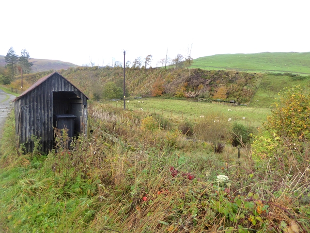
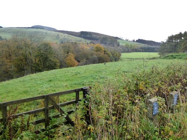
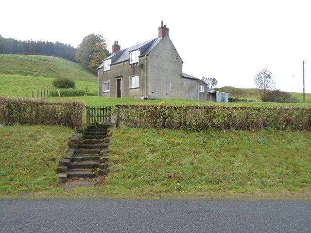
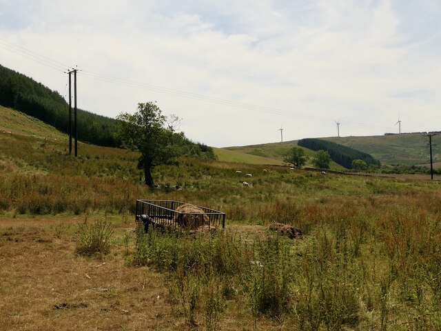
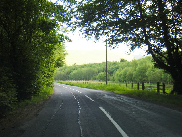
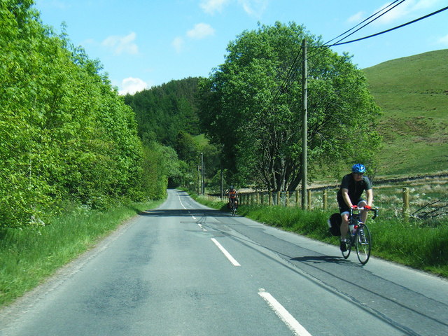
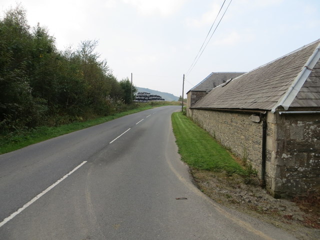
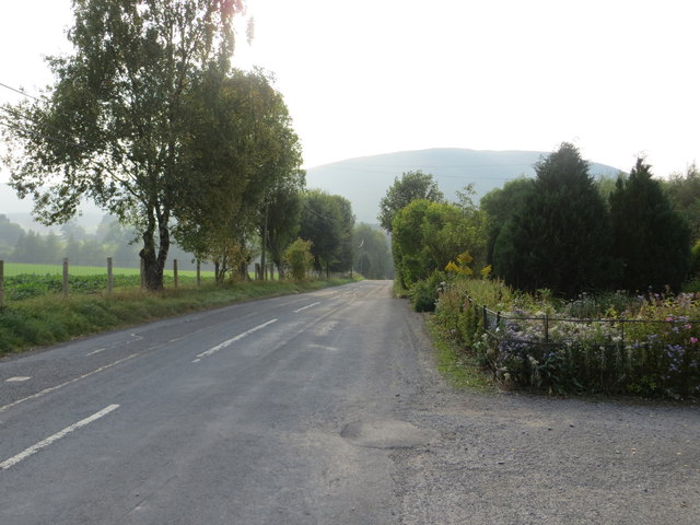
Eskdale Images
Images are sourced within 2km of 55.185935/-3.0527557 or Grid Reference NY3388. Thanks to Geograph Open Source API. All images are credited.

Eskdale is located at Grid Ref: NY3388 (Lat: 55.185935, Lng: -3.0527557)
Unitary Authority: Dumfries and Galloway
Police Authority: Dumfries and Galloway
What 3 Words
///playfully.state.voice. Near Bentpath, Dumfries & Galloway
Nearby Locations
Related Wikis

Eskdale (Scotland)
Eskdale (Scottish Gaelic: Eisgeadal, IPA:[ˈeʃkʲət̪əɫ̪]) is a glen and former lordship in the county of Dumfriesshire, Scotland. The River Esk flows through...
Barntalloch Castle
Barntalloch Castle was a castle located at Staplegorton, in Dumfries and Galloway, Scotland. The castle was built in the 12th century by Galfrid de Coninsburgh...

Bentpath
Bentpath is a small village between Eskdalemuir and Langholm in Dumfries and Galloway, Scotland. It is located on the River Esk and has a church and a...

Duchess Bridge
The Duchess Bridge is a cast iron footbridge over the River Esk in Dumfries and Galloway, Scotland. It was built for Charles Montagu-Scott, 4th Duke of...
Nearby Amenities
Located within 500m of 55.185935,-3.0527557Have you been to Eskdale?
Leave your review of Eskdale below (or comments, questions and feedback).