Burnfoot
Settlement in Lanarkshire
Scotland
Burnfoot
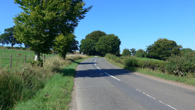
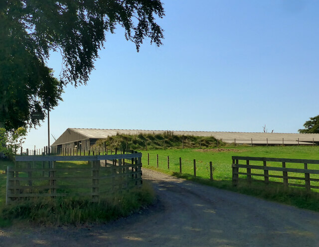
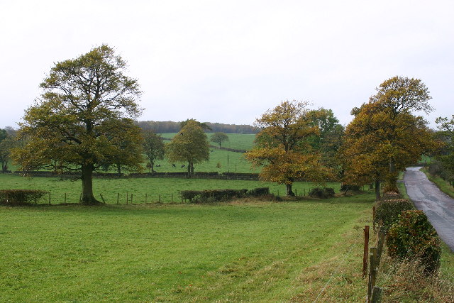
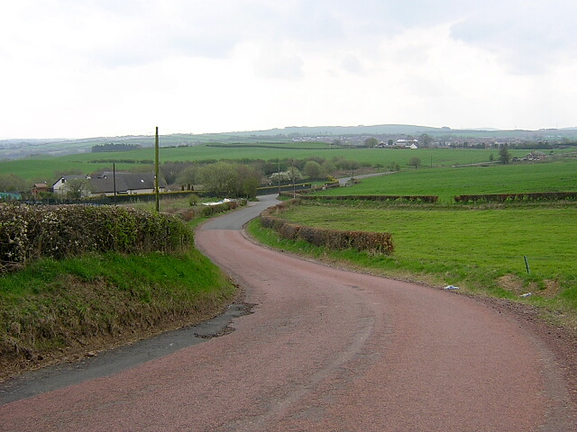
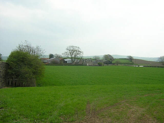
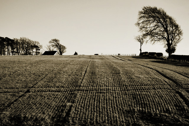
Burnfoot is a small village located in the county of Lanarkshire, Scotland. Situated approximately 20 miles southeast of Glasgow, it lies within the larger local authority area of South Lanarkshire. The village is nestled in a picturesque rural setting, surrounded by rolling hills and farmland.
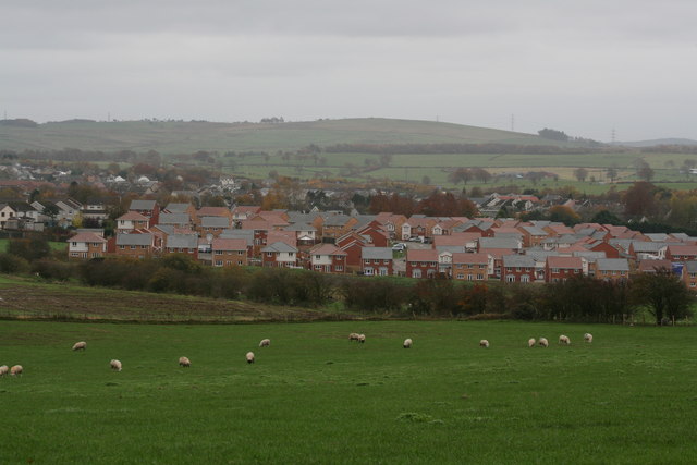
Historically, Burnfoot was primarily an agricultural community, with farming playing a vital role in its economy. However, in recent years, there has been a shift towards a more diversified economy, with residents also engaged in various industries such as manufacturing, construction, and retail.
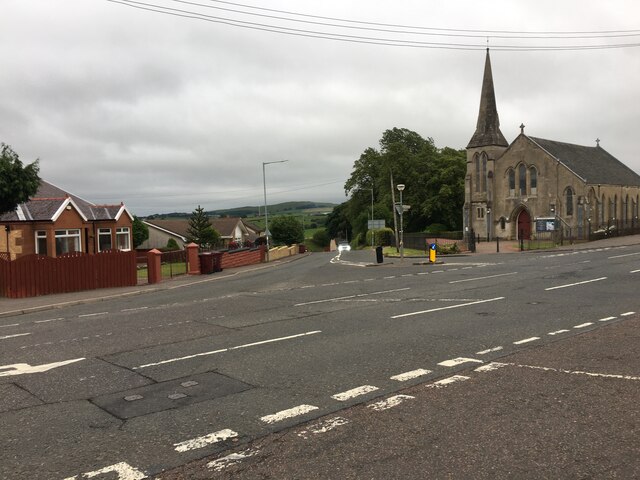
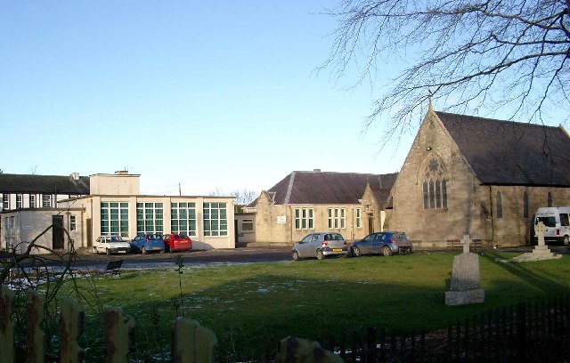
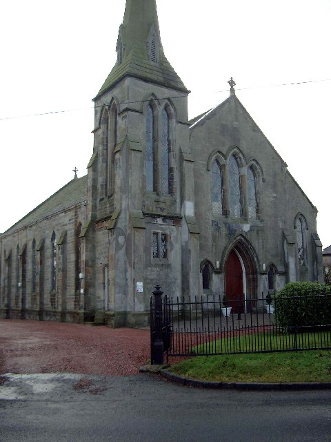
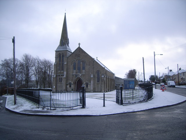
The village itself is characterized by its charming, traditional architecture, with many of the buildings dating back to the 19th century. One of the notable landmarks in Burnfoot is the local parish church, a beautiful structure that stands as a testament to the village's rich history.
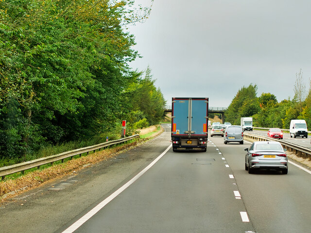
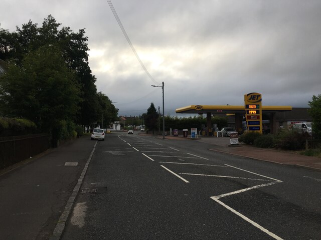
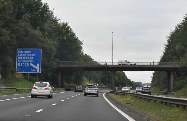
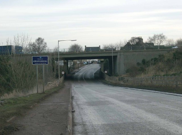
In terms of amenities, Burnfoot offers a range of facilities to cater to the needs of its residents. These include a primary school, a community center, a post office, and a few local shops. Additionally, the village benefits from good transportation links, with regular bus services connecting it to nearby towns and cities.
The natural beauty of the surrounding countryside provides ample opportunities for outdoor activities, such as walking, cycling, and fishing. The village also benefits from its proximity to Lanark, a town known for its historic attractions, including the famous Lanark Castle and the Falls of Clyde.
Overall, Burnfoot is a peaceful and close-knit community, offering a tranquil countryside lifestyle while still providing convenient access to nearby urban areas.
If you have any feedback on the listing, please let us know in the comments section below.
Burnfoot Images
Images are sourced within 2km of 55.666421/-3.9014351 or Grid Reference NS8043. Thanks to Geograph Open Source API. All images are credited.
Burnfoot is located at Grid Ref: NS8043 (Lat: 55.666421, Lng: -3.9014351)
Unitary Authority: South Lanarkshire
Police Authority: Lanarkshire
What 3 Words
///petty.tracking.flattered. Near Blackwood, South Lanarkshire
Nearby Locations
Related Wikis

Auchenheath railway station
Auchenheath railway station was just outside Auchenheath, a hamlet in the county of South Lanarkshire, Scotland. It was served by local trains on the Coalburn...

Cartland, South Lanarkshire
Cartland is a village in South Lanarkshire, Scotland. == See also == List of places in South Lanarkshire
Auchenheath
Auchenheath is a small village in South Lanarkshire, Scotland. It is on the River Nethan and is located near Blackwood, Kirkmuirhill, and Lanark. Auchenheath...
Blackwood, South Lanarkshire
Blackwood is a village which borders Kirkmuirhill, near Lanark in the central belt of Scotland. It has a few small shops, a Roman Catholic church and a...
Kirkmuirhill
Kirkmuirhill is a village in South Lanarkshire, Scotland. It borders Blackwood, near Lanark and is sited near Junction 9 of the M74 motorway. Its postal...
Draffan
Draffan is a farm located 4 miles (6 km) southeast of Larkhall and a mile (1.5 km) west of the M74 motorway, in South Lanarkshire, Scotland. == References... ==

Black Hill (South Lanarkshire)
The Black Hill in South Lanarkshire is owned by the National Trust for Scotland. It overlooks the Clyde Valley, and is the location of a burial cairn from...

Lesmahagow High School
Lesmahagow High School is a non-denominational secondary school in Lesmahagow, South Lanarkshire, Scotland. The new school building opened in 2007. The...
Nearby Amenities
Located within 500m of 55.666421,-3.9014351Have you been to Burnfoot?
Leave your review of Burnfoot below (or comments, questions and feedback).