Auchenheath

Settlement in Lanarkshire

Scotland

Auchenheath

M74 Motorway near to Kirkmuirhill, The A74(M) and M74 form a major motorway which runs for over 80 miles in Scotland. Following an extension opened on 28 June 2011, it connects the M8 motorway west of Glasgow to the English border at Gretna,where it becomes the M6. In conjunction with the M6, it forms one of the two major cross-border routes between Scotland and England. As the motorway is one continuous route and has a continuous junction numbering system, the entire route is often erroneously referred to as M74 although, the section south of Abington (more than half its length) is officially the A74(M).

More information :
<span class="nowrap"><a title="http://www.sabre-roads.org.uk/wiki/index.php?title=M74/A74(M)" rel="nofollow ugc noopener" href="http://www.sabre-roads.org.uk/wiki/index.php?title=M74/A74(M)">Link</a><img style="margin-left:2px;" alt="External link" title="External link - shift click to open in new window" src="https://s1.geograph.org.uk/img/external.png" width="10" height="10"/></span>  SABRE Wiki
<span class="nowrap"><a title="http://en.wikipedia.org/wiki/A74(M)_and_M74_motorways" rel="nofollow ugc noopener" href="http://en.wikipedia.org/wiki/A74(M)_and_M74_motorways">Link</a><img style="margin-left:2px;" alt="External link" title="External link - shift click to open in new window" src="https://s1.geograph.org.uk/img/external.png" width="10" height="10"/></span>  Wikipedia
<span class="nowrap"><a title="http://www.cbrd.co.uk/motorway/m74" rel="nofollow ugc noopener" href="http://www.cbrd.co.uk/motorway/m74">Link</a><img style="margin-left:2px;" alt="External link" title="External link - shift click to open in new window" src="https://s1.geograph.org.uk/img/external.png" width="10" height="10"/></span>  cbrd
M74 Motorway near to Kirkmuirhill, Credit: David Dixon

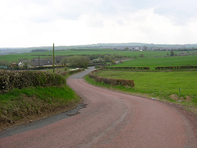
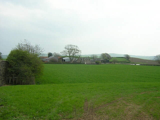
Auchenheath is a small village located in the county of Lanarkshire, Scotland. It is situated approximately 14 miles southeast of the town of Hamilton and 21 miles south of Glasgow. The village is nestled amidst the scenic countryside, with rolling hills and picturesque landscapes surrounding it.

Auchenheath has a rich history, dating back to medieval times when it was known as "Achadh na h-aith," meaning "field of the ford" in Gaelic. The village developed around a ford over the River Nethan, which was an important crossing point in the past. Today, the river still meanders through the village, adding to its charm.

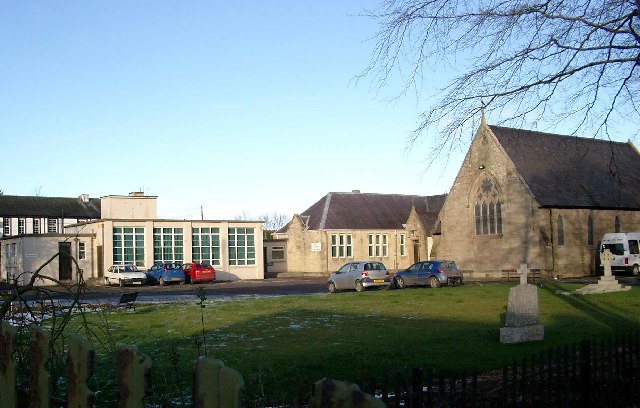
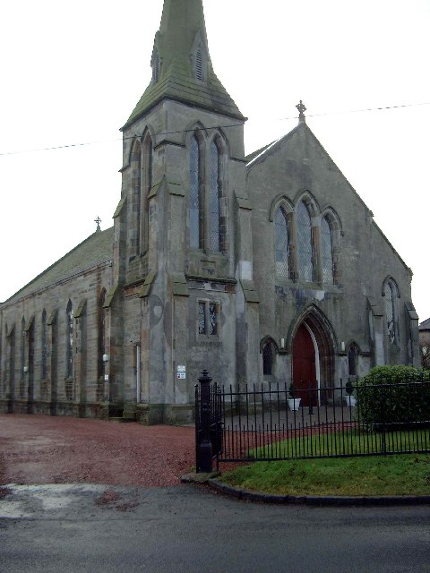
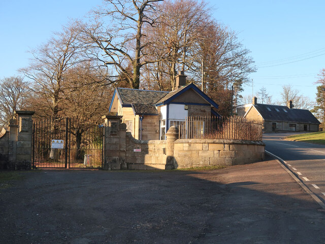
The village is primarily residential, with a close-knit community of approximately 500 residents. The architecture in Auchenheath is diverse, ranging from traditional stone cottages to more modern houses. There are also a few local amenities, including a primary school, a community center, a post office, and a village pub.

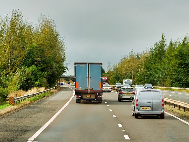
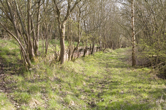
Auchenheath offers a peaceful and tranquil environment, making it an ideal place for those seeking a quieter lifestyle away from the hustle and bustle of the city. The surrounding countryside provides ample opportunities for outdoor activities such as hiking, cycling, and fishing. Additionally, the village is well-connected to nearby towns and cities, making it convenient for commuters.

Overall, Auchenheath is a charming village with a rich history, beautiful surroundings, and a close-knit community, making it an attractive place to live or visit for those seeking a peaceful retreat in Lanarkshire.

If you have any feedback on the listing, please let us know in the comments section below.
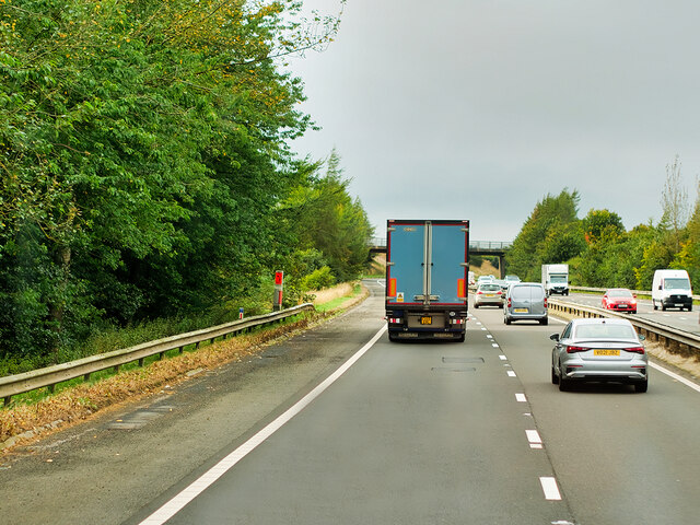
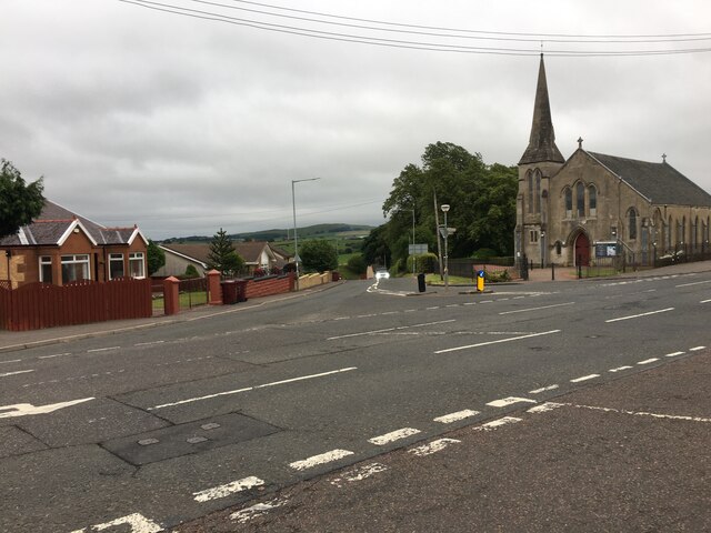
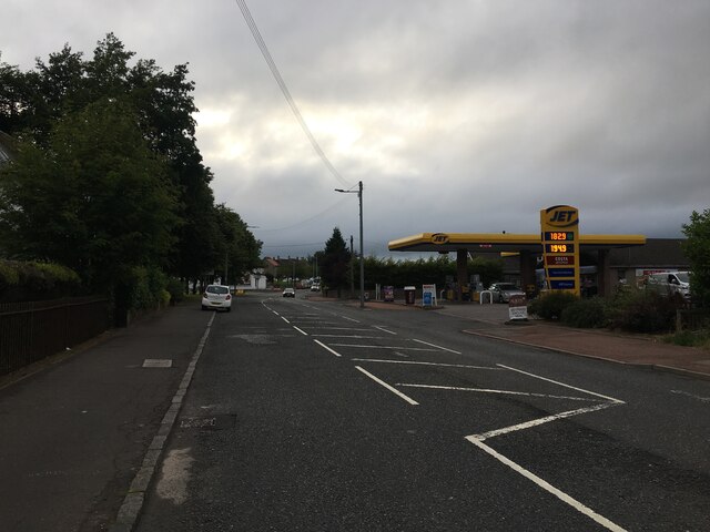
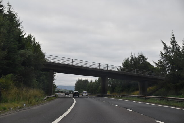
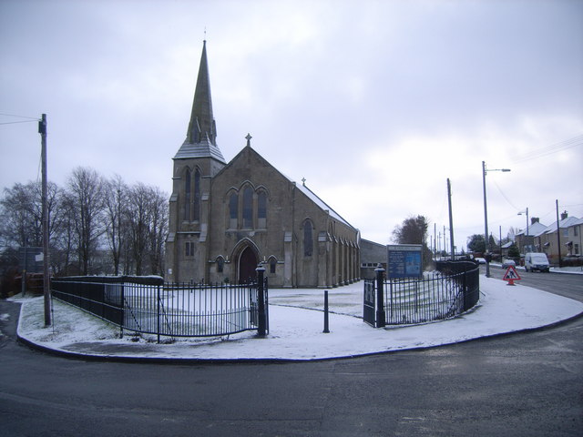
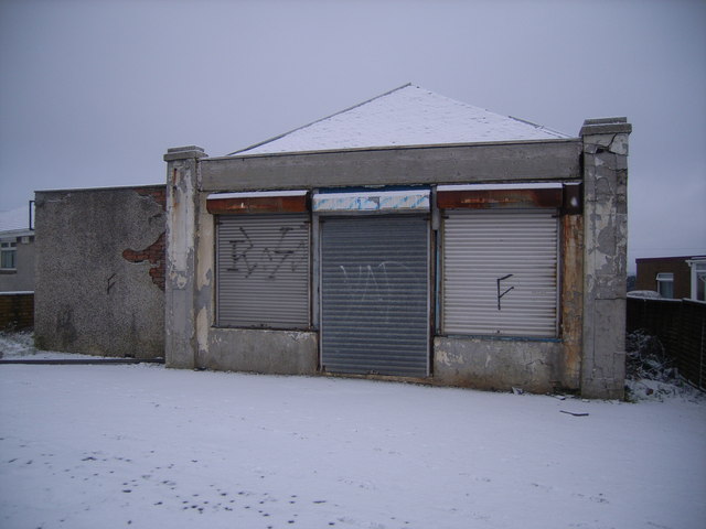
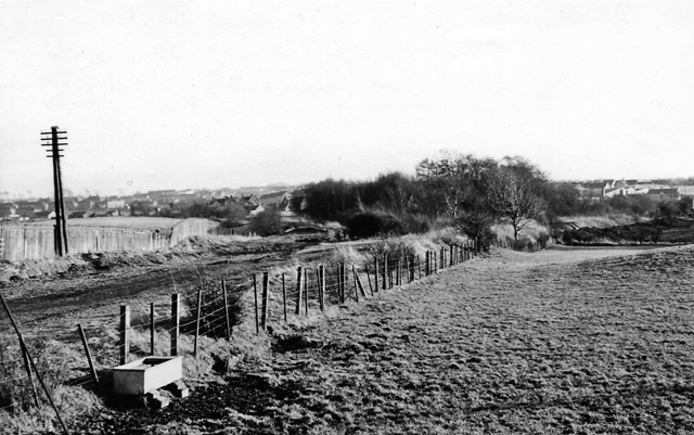
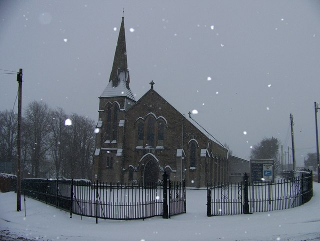
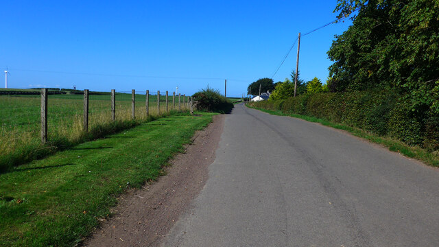
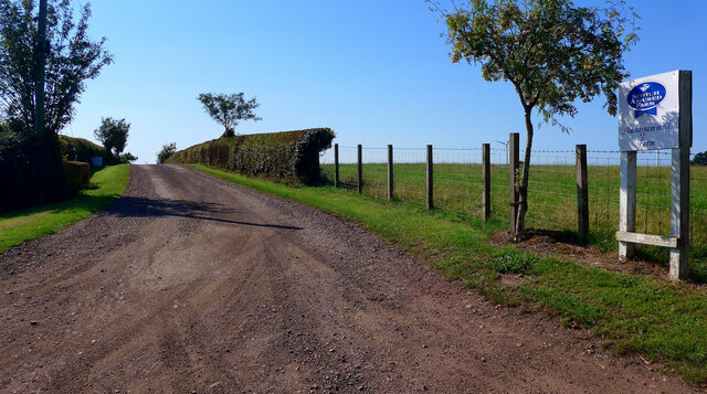
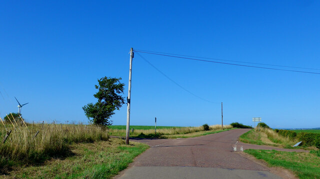
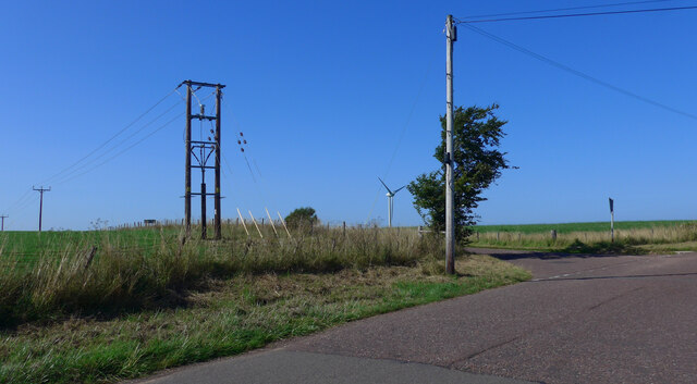
Auchenheath Images

Images are sourced within 2km of 55.671771/-3.895222 or Grid Reference NS8043. Thanks to Geograph Open Source API. All images are credited.

M74 Motorway near to Kirkmuirhill, The A74(M) and M74 form a major motorway which runs for over 80 miles in Scotland. Following an extension opened on 28 June 2011, it connects the M8 motorway west of Glasgow to the English border at Gretna,where it becomes the M6. In conjunction with the M6, it forms one of the two major cross-border routes between Scotland and England. As the motorway is one continuous route and has a continuous junction numbering system, the entire route is often erroneously referred to as M74 although, the section south of Abington (more than half its length) is officially the A74(M).

More information :
<span class="nowrap"><a title="http://www.sabre-roads.org.uk/wiki/index.php?title=M74/A74(M)" rel="nofollow ugc noopener" href="http://www.sabre-roads.org.uk/wiki/index.php?title=M74/A74(M)">Link</a><img style="margin-left:2px;" alt="External link" title="External link - shift click to open in new window" src="https://s1.geograph.org.uk/img/external.png" width="10" height="10"/></span>  SABRE Wiki
<span class="nowrap"><a title="http://en.wikipedia.org/wiki/A74(M)_and_M74_motorways" rel="nofollow ugc noopener" href="http://en.wikipedia.org/wiki/A74(M)_and_M74_motorways">Link</a><img style="margin-left:2px;" alt="External link" title="External link - shift click to open in new window" src="https://s1.geograph.org.uk/img/external.png" width="10" height="10"/></span>  Wikipedia
<span class="nowrap"><a title="http://www.cbrd.co.uk/motorway/m74" rel="nofollow ugc noopener" href="http://www.cbrd.co.uk/motorway/m74">Link</a><img style="margin-left:2px;" alt="External link" title="External link - shift click to open in new window" src="https://s1.geograph.org.uk/img/external.png" width="10" height="10"/></span>  cbrd
M74 Motorway near to Kirkmuirhill,
The A74(M) and M74 form a major motorway which runs for over 80 miles in Scotland. Following an extension opened on 28 June 2011, it connects the M8 motorway west of Glasgow to the English border at Gretna,where it becomes the M6. In conjunction with the M6, it forms one of the two major cross-border routes between Scotland and England. As the motorway is one continuous route and has a continuous junction numbering system, the entire route is often erroneously referred to as M74 although, the section south of Abington (more than half its length) is officially the A74(M). More information : LinkExternal link SABRE Wiki LinkExternal link Wikipedia LinkExternal link cbrd
Road junction in Kirkmuirhill
B7086 at Kirkmuirhill
Vere Rd Bridge, M74 The A74(M) & M74  run over 80 miles from the M6 at the Scottish border near Gretna to the M8 at Glasgow. This is one of the two most important routeways into Scotland from the south. The last stretch of the M74 opened in 2011 (see <a title="https://www.geograph.org.uk/snippet/590" href="https://www.geograph.org.uk/snippet/590">Link</a> ).
Wikipedia: <span class="nowrap"><a title="http://en.wikipedia.org/wiki/A74(M)_and_M74_motorways" rel="nofollow ugc noopener" href="http://en.wikipedia.org/wiki/A74(M)_and_M74_motorways">Link</a><img style="margin-left:2px;" alt="External link" title="External link - shift click to open in new window" src="https://s1.geograph.org.uk/img/external.png" width="10" height="10"/></span>
Vere Rd Bridge, M74
The A74(M) & M74 run over 80 miles from the M6 at the Scottish border near Gretna to the M8 at Glasgow. This is one of the two most important routeways into Scotland from the south. The last stretch of the M74 opened in 2011 (see Link ). Wikipedia: LinkExternal link
St John's, Blackwood
Blackwood Church
Blackwood Church
Southfield Road Near Blackwood
Southfield Farm Near Blackwood
Blackwood Church in the snow
Disused shop in Blackwood
Site of Blackwood (Lanark) Station View SE, towards Lesmahagow and Coalburn; ex-CR Glasgow - Hamilton - Lesmahagow - Coalburn line, closed 4/10/65.
Site of Blackwood (Lanark) Station
View SE, towards Lesmahagow and Coalburn; ex-CR Glasgow - Hamilton - Lesmahagow - Coalburn line, closed 4/10/65.
Kirkmuirhill Church of Scotland in the snow
Approaching Muirhouse
Auchtygemmell Farm roadend
Crossroads on minor roads south of Auchnotroch
Northbound M74 near to Kirkmuirhill The A74(M) and M74 form a major motorway which runs for over 80 miles in Scotland. Following an extension opened on 28 June 2011, it connects the M8 motorway west of Glasgow to the English border at Gretna,where it becomes the M6. In conjunction with the M6, it forms one of the two major cross-border routes between Scotland and England. As the motorway is one continuous route and has a continuous junction numbering system, the entire route is often erroneously referred to as M74 although, the section south of Abington (more than half its length) is officially the A74(M).

More information :
<span class="nowrap"><a title="http://www.sabre-roads.org.uk/wiki/index.php?title=M74/A74(M)" rel="nofollow ugc noopener" href="http://www.sabre-roads.org.uk/wiki/index.php?title=M74/A74(M)">Link</a><img style="margin-left:2px;" alt="External link" title="External link - shift click to open in new window" src="https://s1.geograph.org.uk/img/external.png" width="10" height="10"/></span>  SABRE Wiki
<span class="nowrap"><a title="http://en.wikipedia.org/wiki/A74(M)_and_M74_motorways" rel="nofollow ugc noopener" href="http://en.wikipedia.org/wiki/A74(M)_and_M74_motorways">Link</a><img style="margin-left:2px;" alt="External link" title="External link - shift click to open in new window" src="https://s1.geograph.org.uk/img/external.png" width="10" height="10"/></span>  Wikipedia
<span class="nowrap"><a title="http://www.cbrd.co.uk/motorway/m74" rel="nofollow ugc noopener" href="http://www.cbrd.co.uk/motorway/m74">Link</a><img style="margin-left:2px;" alt="External link" title="External link - shift click to open in new window" src="https://s1.geograph.org.uk/img/external.png" width="10" height="10"/></span>  cbrd
Northbound M74 near to Kirkmuirhill
The A74(M) and M74 form a major motorway which runs for over 80 miles in Scotland. Following an extension opened on 28 June 2011, it connects the M8 motorway west of Glasgow to the English border at Gretna,where it becomes the M6. In conjunction with the M6, it forms one of the two major cross-border routes between Scotland and England. As the motorway is one continuous route and has a continuous junction numbering system, the entire route is often erroneously referred to as M74 although, the section south of Abington (more than half its length) is officially the A74(M). More information : LinkExternal link SABRE Wiki LinkExternal link Wikipedia LinkExternal link cbrd
Entrance to Auchenheath House Showing the main gate and the lodge. Originally built around 1842, Auchenheath House is a category B listed Italianate house.
Entrance to Auchenheath House
Showing the main gate and the lodge. Originally built around 1842, Auchenheath House is a category B listed Italianate house.
Show me another place!

Auchenheath is located at Grid Ref: NS8043 (Lat: 55.671771, Lng: -3.895222)

Unitary Authority: South Lanarkshire

Police Authority: Lanarkshire

What 3 Words

///select.tones.marathons. Near Blackwood, South Lanarkshire

Nearby Locations

Burnfoot Auchenheath

Related Wikis

Cartland, South Lanarkshire

Cartland is a village in South Lanarkshire, Scotland. == See also == List of places in South Lanarkshire

Auchenheath

Auchenheath is a small village in South Lanarkshire, Scotland. It is on the River Nethan and is located near Blackwood, Kirkmuirhill, and Lanark. Auchenheath...

Auchenheath railway station

Auchenheath railway station was just outside Auchenheath, a hamlet in the county of South Lanarkshire, Scotland. It was served by local trains on the Coalburn...

Blackwood, South Lanarkshire

Blackwood is a village which borders Kirkmuirhill, near Lanark in the central belt of Scotland. It has a few small shops, a Roman Catholic church and a...

Kirkmuirhill

Kirkmuirhill is a village in South Lanarkshire, Scotland. It borders Blackwood, near Lanark and is sited near Junction 9 of the M74 motorway. Its postal...

Draffan

Draffan is a farm located 4 miles (6 km) southeast of Larkhall and a mile (1.5 km) west of the M74 motorway, in South Lanarkshire, Scotland. == References... ==

Tillietudlem railway station

Tillietudlem railway station served Tillietudlem, a village in South Lanarkshire, Scotland. It opened in 1876 and was closed in 1951. == References ==

Black Hill (South Lanarkshire)

The Black Hill in South Lanarkshire is owned by the National Trust for Scotland. It overlooks the Clyde Valley, and is the location of a burial cairn from...

Nearby Amenities

Located within 500m of 55.671771,-3.895222
Auchenheath
Is In: South Lanarkshire
Place: village
Source: survey
Wikidata: Q4819407
Lat/Long: 55.6717754/-3.8951428
Bus Stop
Lancaster Avenue
Naptan AtcoCode: 61501454
Naptan Bearing: NE
Naptan CommonName: Lancaster Avenue
Naptan Indicator: At Sports Field
Naptan Landmark: Lancaster Avenue
Naptan NaptanCode: 75236275
Naptan Street: B7066
Naptan Verified: no
Source: naptan_import
Lat/Long: 55.6719459/-3.8944843
Bus Stop
Lancaster Avenue
Naptan AtcoCode: 61501455
Naptan Bearing: SW
Naptan CommonName: Lancaster Avenue
Naptan Indicator: Opp Lancaster Avenue
Naptan Landmark: Lancaster Avenue
Naptan NaptanCode: 75232436
Naptan Street: B7066
Naptan Verified: no
Source: naptan_import
Lat/Long: 55.6717604/-3.894857
Telephone
Source: survey
Lat/Long: 55.6716051/-3.8956225
Power: pole
Lat/Long: 55.6748296/-3.8970417
Power: pole
Lat/Long: 55.6741927/-3.8964261
Power: pole
Lat/Long: 55.6734448/-3.8957873
Power: pole
Lat/Long: 55.6726956/-3.8951633
Power: pole
Lat/Long: 55.6714342/-3.8961892
Power: pole
Lat/Long: 55.6708616/-3.8965763
Power: pole
Lat/Long: 55.6701351/-3.8970967
Power: pole
Lat/Long: 55.669572/-3.8974922
Power: pole
Lat/Long: 55.6690685/-3.8974415
Power: pole
Lat/Long: 55.6682048/-3.8972934
Auchenheath
Historic Railway: station
Railway: site
Wikidata: Q4819403
Wikipedia: en:Auchenheath railway station
Lat/Long: 55.671518/-3.8998338
The data included in this document is from www.openstreetmap.org. The data is made available under ODbL.

Have you been to Auchenheath?

Leave your review of Auchenheath below (or comments, questions and feedback).