Auchenharvie
Settlement in Ayrshire
Scotland
Auchenharvie
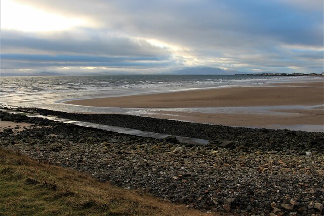
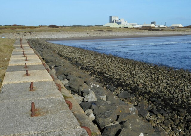
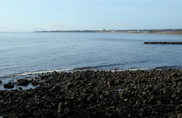
Auchenharvie is a small village located in North Ayrshire, Scotland. Situated approximately 5 miles southwest of Irvine, it is situated on the western coast of Scotland. The village is part of the larger Ayrshire region, known for its picturesque landscapes and rich history.
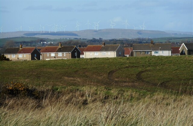
Auchenharvie is primarily a residential area, with a population of around 2,000 people. The village is well-connected, with easy access to nearby towns and cities via the A78 road. The area offers a peaceful and idyllic setting, surrounded by rolling hills and stunning views of the Firth of Clyde.
The village has a strong sense of community, with various amenities and services available to its residents. These include a primary school, community center, and a local shop for everyday needs. Auchenharvie also benefits from several parks and green spaces, providing ample opportunities for outdoor activities and recreation.
For those interested in history, the nearby Dundonald Castle and Eglinton Country Park offer a glimpse into the region's past. The castle, dating back to the 14th century, is a popular tourist attraction and provides visitors with a fascinating insight into medieval life.
Overall, Auchenharvie is a charming village that combines the tranquility of rural living with easy access to nearby amenities and attractions. Its picturesque surroundings and close-knit community make it an attractive place to live or visit for anyone seeking a peaceful and welcoming environment.
If you have any feedback on the listing, please let us know in the comments section below.
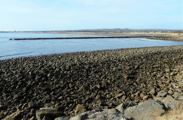
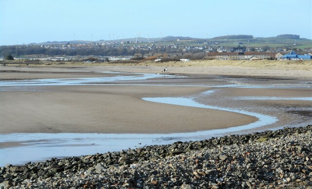
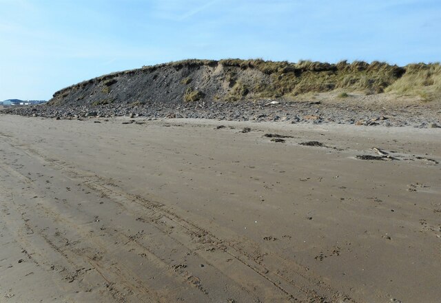
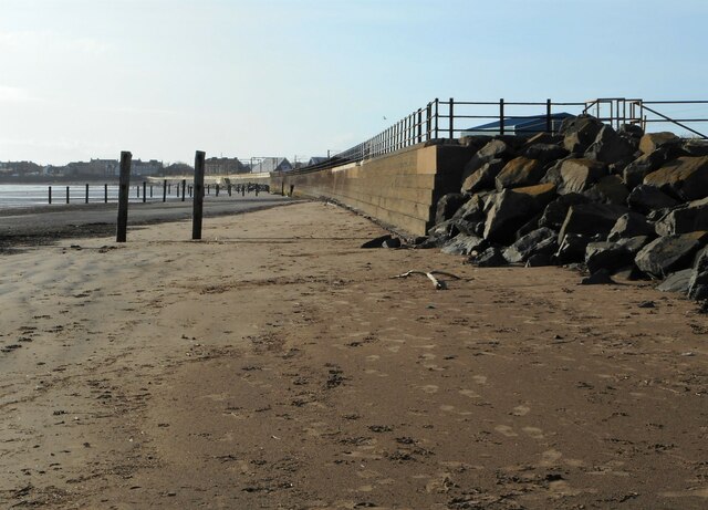
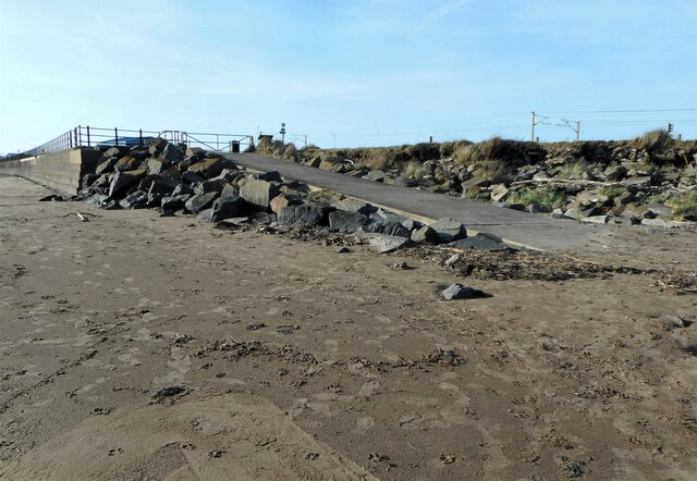
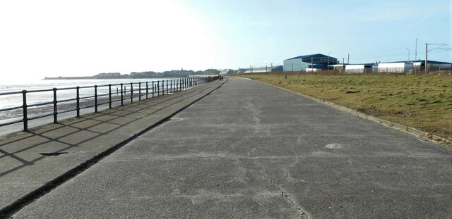
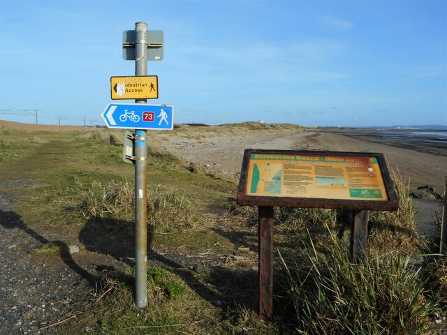
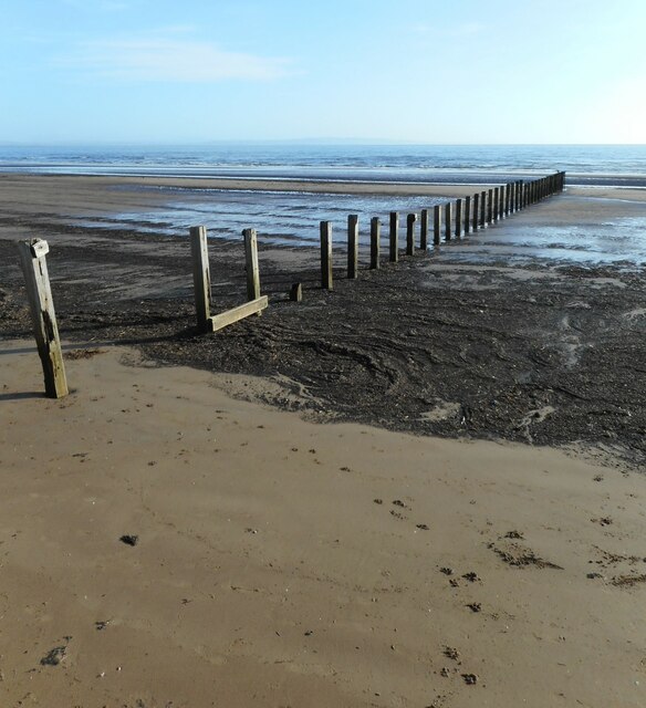
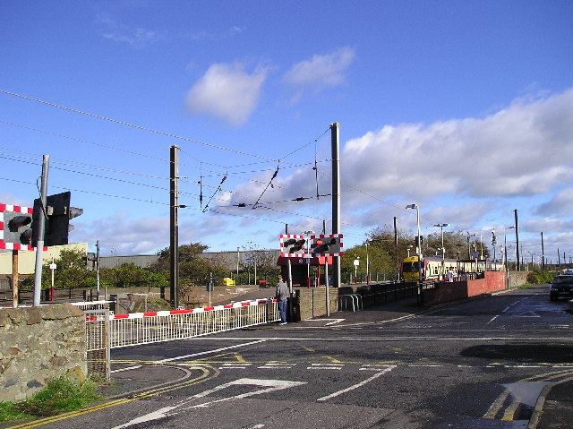
Auchenharvie Images
Images are sourced within 2km of 55.636728/-4.769619 or Grid Reference NS2541. Thanks to Geograph Open Source API. All images are credited.


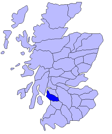
Auchenharvie is located at Grid Ref: NS2541 (Lat: 55.636728, Lng: -4.769619)
Unitary Authority: North Ayrshire
Police Authority: Ayrshire
What 3 Words
///bedroom.cornfield.contrived. Near Stevenston, North Ayrshire
Nearby Locations
Related Wikis

Auchenharvie
Auchenharvie is an area of Stevenston, North Ayrshire in Scotland. There are therefore several local institutions, organizations and businesses that use...
Cunninghame
Cunninghame (Scottish Gaelic: Coineagan) is a former comital district of Scotland and also a district of the Strathclyde Region from 1975 to 1996. ��2...

Stevenston Moorpark railway station
Stevenston Moorpark railway station was a railway station serving the town of Stevenston, North Ayrshire, Scotland as part of the Lanarkshire and Ayrshire...
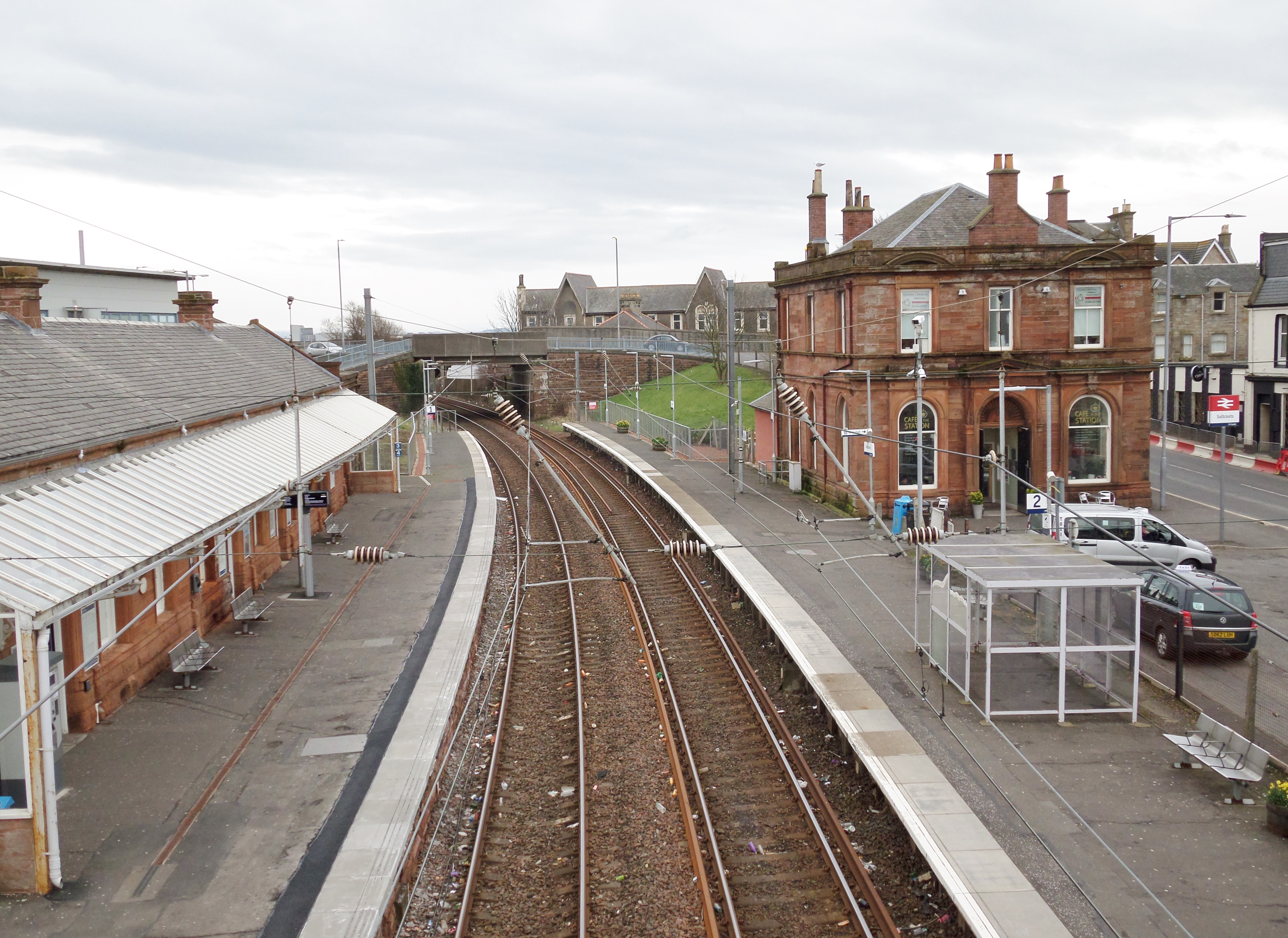
Saltcoats railway station
Saltcoats railway station is a railway station serving the town of Saltcoats, North Ayrshire, Scotland. The station is managed by ScotRail and is on the...
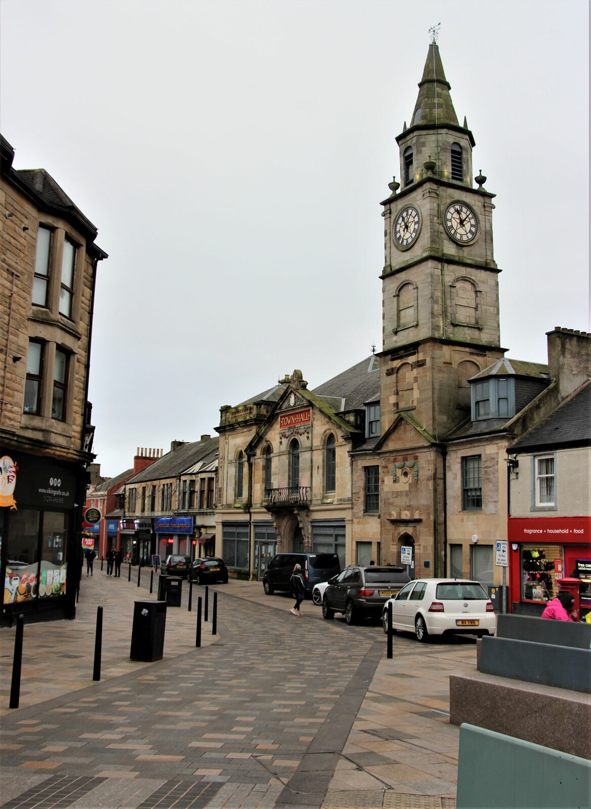
Saltcoats Town Hall
Saltcoats Town Hall is a municipal building in Countess Street, Saltcoats, North Ayrshire, Scotland. The building, which is used by North Ayrshire Council...

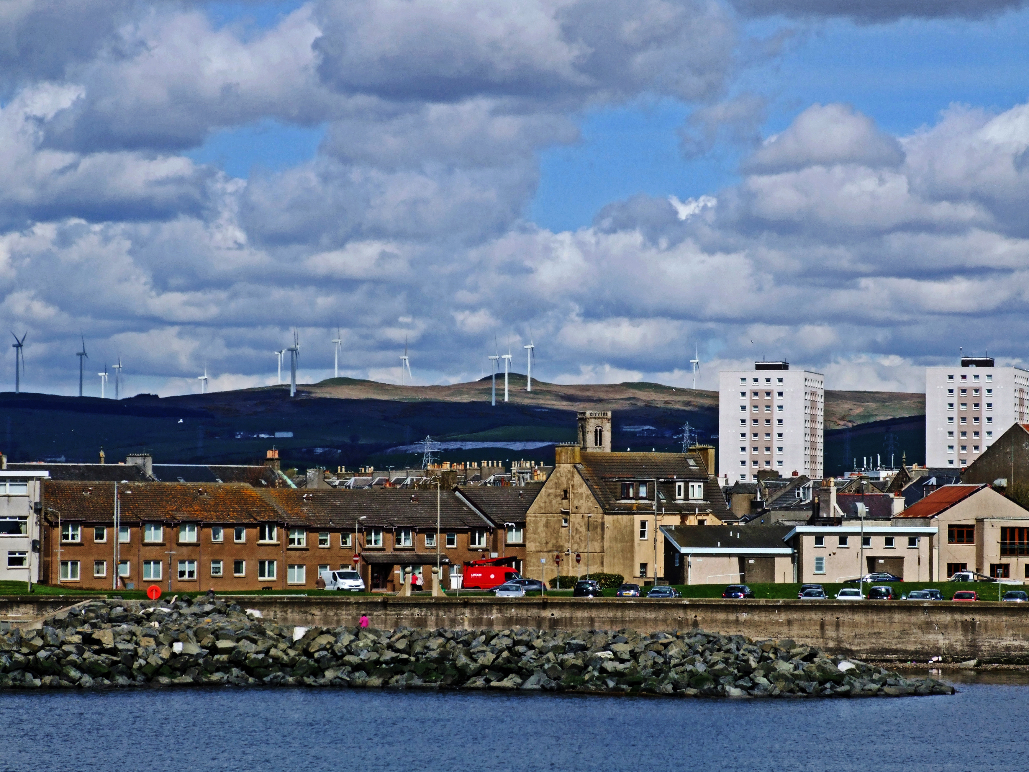
Stevenston
Stevenston (Scots: Steenstoun, Scottish Gaelic: Baile Steaphain) is a town and parish in North Ayrshire, Scotland. Along with Ardrossan and Saltcoats it...
Saltcoats
Saltcoats (Scottish Gaelic: Baile an t-Salainn) is a town on the west coast of North Ayrshire, Scotland. The name is derived from the town's earliest industry...
Stevenston railway station
Stevenston railway station is a railway station serving the town of Stevenston, North Ayrshire, Scotland. The station is managed by ScotRail and is owned...
Nearby Amenities
Located within 500m of 55.636728,-4.769619Have you been to Auchenharvie?
Leave your review of Auchenharvie below (or comments, questions and feedback).