Auchenhalrig

Settlement in Banffshire

Scotland

Auchenhalrig

A98 in Whiteash Wood
A98 in Whiteash Wood Credit: Peter Bond

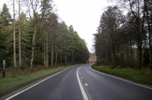
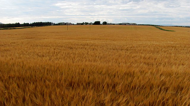
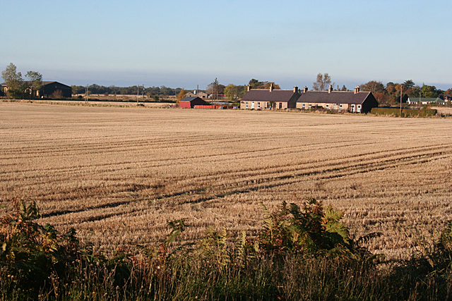
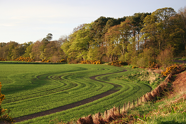
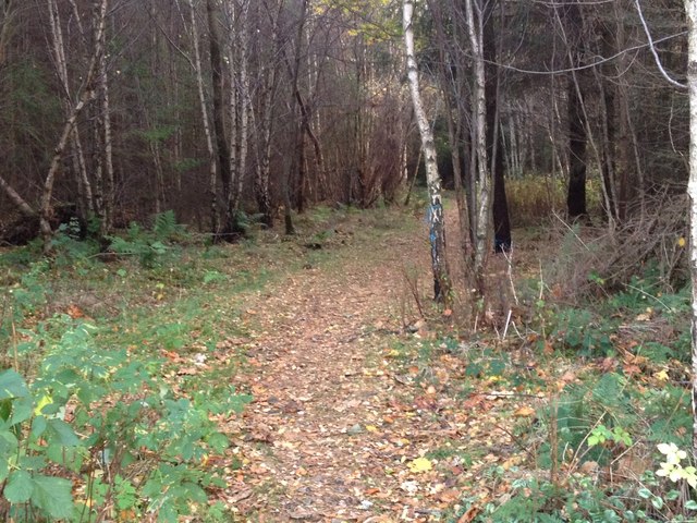
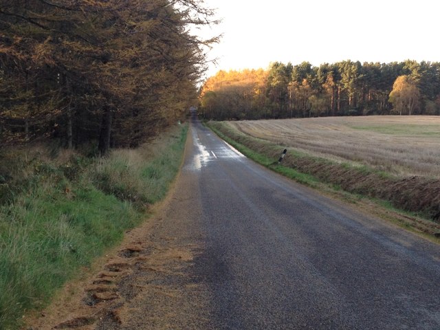
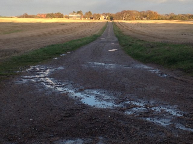
Auchenhalrig is a small village located in the region of Banffshire, Scotland. It is situated in the northeastern part of the country, near the coast of the North Sea. The village is surrounded by picturesque landscapes, with rolling hills and green fields dominating the scenery.

With a population of around 200 people, Auchenhalrig is a tightly-knit community that prides itself on its close-knit relationships and strong community spirit. The village offers a peaceful and tranquil atmosphere, making it an ideal place for those seeking a quiet and serene lifestyle.

Despite its small size, Auchenhalrig has a rich history that can be traced back several centuries. The village is known for its traditional Scottish architecture, with many of its buildings dating back to the 18th and 19th centuries. It is not uncommon to see charming stone cottages and historic landmarks scattered throughout the village.

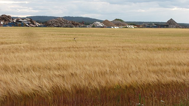
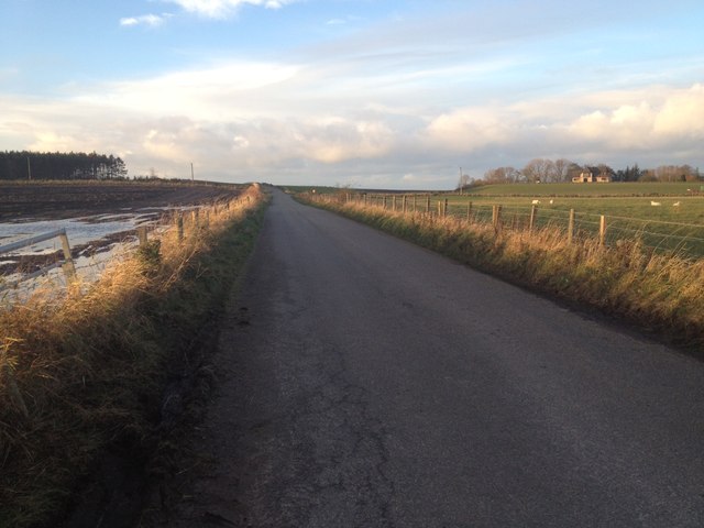
The main economic activities in Auchenhalrig revolve around agriculture and the local tourism industry. The fertile land surrounding the village is used for farming, primarily for crops such as barley and potatoes. Additionally, the village attracts visitors who are drawn to its natural beauty and historical attractions.

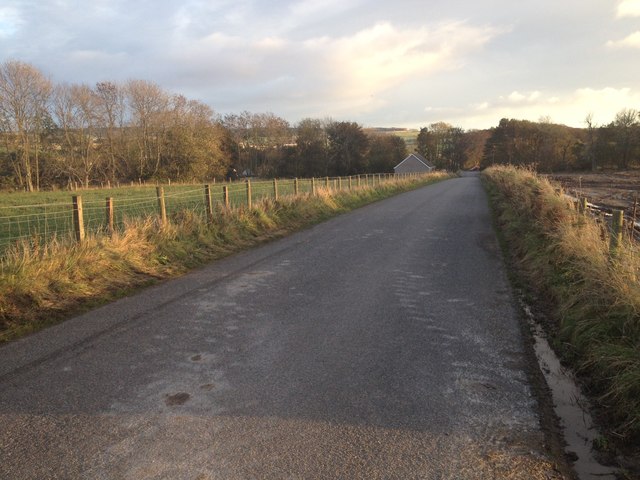
Auchenhalrig is also well-connected to nearby towns and cities. The village has good transport links, with regular bus services to neighboring areas. For those seeking a peaceful and idyllic lifestyle in the Scottish countryside, Auchenhalrig offers a welcoming community and a beautiful setting to call home.

If you have any feedback on the listing, please let us know in the comments section below.

Auchenhalrig Images

Images are sourced within 2km of 57.642545/-3.053096 or Grid Reference NJ3761. Thanks to Geograph Open Source API. All images are credited.

A98 in Whiteash Wood
Barley, Auchenreath Ripening barley on sandy soils near the mouth of the Spey.
Barley, Auchenreath
Ripening barley on sandy soils near the mouth of the Spey.
Dallachy Airfield The site of RAF Dallachy is now farmed along with a waste disposal site on the hard standing of one of the runways.
Dallachy Airfield
The site of RAF Dallachy is now farmed along with a waste disposal site on the hard standing of one of the runways.
A memorial to the fallen of Dallochy airfield Dallachy field served as a launching point for counter shipping measures in the North sea during World War 2.<a href="https://www.geograph.org.uk/photo/2888950">NJ3562 : Lessons from the past?</a>
A memorial to the fallen of Dallochy airfield
Dallachy field served as a launching point for counter shipping measures in the North sea during World War 2.NJ3562 : Lessons from the past?
Lessons from the past? The plaque is found on the memorial in Bogmoor. <a href="https://www.geograph.org.uk/photo/2888939">NJ3562 : A memorial to the fallen of Dallochy airfield</a>
Lessons from the past?
The plaque is found on the memorial in Bogmoor. NJ3562 : A memorial to the fallen of Dallochy airfield
Old Red Sandstone This cliff face is of Old Red Sandstone, laid down some 350 million years ago at the margin of Lake Orcadie, which occupied an area roughly similar to that of the Moray Firth. Outcrops along the Burn of Tynet have yielded many fossils of Devonian fish, and has consequently been designated a Site of Special Scientific Interest. The fish-bearing strata are not in this particular cliff, which is lower down the succession.
Old Red Sandstone
This cliff face is of Old Red Sandstone, laid down some 350 million years ago at the margin of Lake Orcadie, which occupied an area roughly similar to that of the Moray Firth. Outcrops along the Burn of Tynet have yielded many fossils of Devonian fish, and has consequently been designated a Site of Special Scientific Interest. The fish-bearing strata are not in this particular cliff, which is lower down the succession.
Burn of Tynet The burn of Tynet flows in a deep shady wooded glen which it has cut for itself through the relatively soft Old Red Sandstone. You can see that the sandstone dips gently away from the photographer location. Some beds in this sandstone, not visible here, have yielded numerous fossils of Devonian fish.
Burn of Tynet
The burn of Tynet flows in a deep shady wooded glen which it has cut for itself through the relatively soft Old Red Sandstone. You can see that the sandstone dips gently away from the photographer location. Some beds in this sandstone, not visible here, have yielded numerous fossils of Devonian fish.
Tynet Burn The burn meanders along the base of the low cliff. It is very overgrown with vegetation and very shady. This alder tree has grown out across the water towards the light rather than up into the shade. Notice how clear the peat-stained water is.
Tynet Burn
The burn meanders along the base of the low cliff. It is very overgrown with vegetation and very shady. This alder tree has grown out across the water towards the light rather than up into the shade. Notice how clear the peat-stained water is.
Dallachy RAF Memorial The memorial commemorates the aircrew who trained and served at RAF Dallachy during the Second World War. Construction began in 1942, and at first the airfield was used to train aircrew on multi-engined aircraft. From September 1944 Dallachy was the base for Beaufighter squadrons engaged in attacking enemy shipping in the North Sea and on the west coast of Norway. [<a href="https://www.geograph.org.uk/photo/3191649">NJ3563 : RAF Dallachy Strike Wing</a> is the main panel on the monument and <a href="https://www.geograph.org.uk/photo/3191650">NJ3563 : RAF 14 (Pilot) Advanced Flying Unit</a> is on the plinth to the left of the main panel. The other plinth carries an information board giving a brief history of RAF Dallachy.
Dallachy RAF Memorial
The memorial commemorates the aircrew who trained and served at RAF Dallachy during the Second World War. Construction began in 1942, and at first the airfield was used to train aircrew on multi-engined aircraft. From September 1944 Dallachy was the base for Beaufighter squadrons engaged in attacking enemy shipping in the North Sea and on the west coast of Norway. [NJ3563 : RAF Dallachy Strike Wing is the main panel on the monument and NJ3563 : RAF 14 (Pilot) Advanced Flying Unit is on the plinth to the left of the main panel. The other plinth carries an information board giving a brief history of RAF Dallachy.
RAF Dallachy Strike Wing This is the main panel on [<a href="https://www.geograph.org.uk/photo/3191645">NJ3563 : Dallachy RAF Memorial</a>.
RAF Dallachy Strike Wing
This is the main panel on [NJ3563 : Dallachy RAF Memorial.
RAF 14 (Pilot) Advanced Flying Unit This is the panel on the plinth on the left of [<a href="https://www.geograph.org.uk/photo/3191645">NJ3563 : Dallachy RAF Memorial</a>.
RAF 14 (Pilot) Advanced Flying Unit
This is the panel on the plinth on the left of [NJ3563 : Dallachy RAF Memorial.
Byres Cottages A row of farm cottages beside the road to Byres Farm.
Byres Cottages
A row of farm cottages beside the road to Byres Farm.
Green Shoots Low sun picks out the curving drills of new shoots in a cereal field near Bogmoor.
Green Shoots
Low sun picks out the curving drills of new shoots in a cereal field near Bogmoor.
Path through woodland at Romancamp Gate
Minor road near Bridge of Tynet
Minor road at Blair of Tynet
Road past Wood of Auchenhalrig
Farm road to Upper Auchenreath
Show me another place!

Auchenhalrig is located at Grid Ref: NJ3761 (Lat: 57.642545, Lng: -3.053096)

Unitary Authority: Moray

Police Authority: North East

What 3 Words

///estuaries.midfield.sideboard. Near Fochabers, Moray

Related Wikis

St Ninian's Church, Tynet

St Ninian's Church, Tynet is a historic Roman Catholic clandestine church located at Tynet about 4 miles to the west of Buckie, Scotland in the Enzie region...

Upper Dallachy

Upper Dallachy is a small village situated in Moray, Scotland, approximately 2 miles south-east of Spey Bay. The village is located next to the now-abandoned...

Lower Auchenreath

Lower Auchenreath is a tiny rural settlement situated in the North East Coast of Scotland. It is home to a mixed arable/animal farm and is only a mile...

Gordon Tomb

The Gordon Tomb is a classical colonnaded mausoleum in the parish of Bellie in Moray, Scotland. It houses the sarcophagi of the second wife of the 4th...

Old Church of St John

The Old Church of St John is a ruined church, incorporating a finely carved sacrament house and situated within a historic burial ground in Kirktown of...

Spey Bay railway station

Spey Bay railway station was a railway station in Spey Bay, Moray. The railway station was opened by the Great North of Scotland Railway (GNoSR) on its...

Portgordon railway station

Portgordon railway station was a railway station in Portgordon in Moray, Scotland. The railway station was opened by the Great North of Scotland Railway...

Gordon Castle

Gordon Castle is a country house located near Fochabers in the parish of Bellie in Moray, Scotland. It was the principal seat of the Dukes of Gordon and...

Nearby Amenities

Located within 500m of 57.642545,-3.053096
Beldornie Hillocks
Place: locality
Lat/Long: 57.6392565/-3.0481569
Power: pole
Lat/Long: 57.646877/-3.0549388
Power: pole
Lat/Long: 57.6462166/-3.0557761
Power: pole
Lat/Long: 57.6455364/-3.0566503
Power: pole
Lat/Long: 57.6448616/-3.0574775
Power: pole
Lat/Long: 57.6442785/-3.0582509
Power: pole
Lat/Long: 57.6442102/-3.0583283
Power: pole
Lat/Long: 57.6436955/-3.0596901
Power: pole
Lat/Long: 57.6431826/-3.0610587
Power: pole
Lat/Long: 57.6443361/-3.0585435
Power: pole
Lat/Long: 57.6441292/-3.057454
Power: pole
Lat/Long: 57.6439492/-3.0565696
Power: pole
Lat/Long: 57.6437729/-3.0557055
Power: pole
Lat/Long: 57.6435947/-3.0546328
Power: pole
Lat/Long: 57.6434183/-3.0536644
Power: pole
Lat/Long: 57.6432492/-3.0526926
Power: pole
Lat/Long: 57.6430665/-3.0516132
Power: pole
Lat/Long: 57.642847/-3.0504229
Power: pole
Lat/Long: 57.6426382/-3.0491821
Power: pole
Lat/Long: 57.6424348/-3.0480085
Power: pole
Lat/Long: 57.6422045/-3.04664
Power: pole
Lat/Long: 57.6419741/-3.0453353
Power: pole
Lat/Long: 57.6425266/-3.0530221
Power: pole
Lat/Long: 57.6419849/-3.0529044
Moor of Auchenhalrig
Place: isolated_dwelling
Lat/Long: 57.6415097/-3.0455264
Auchenhalrig
Place: hamlet
Lat/Long: 57.6424744/-3.0552038
Telephone
Booth: K6
Covered: booth
Lat/Long: 57.6424944/-3.0530704
Post Box
Post Box Type: lamp
Lat/Long: 57.6421918/-3.0537114
The data included in this document is from www.openstreetmap.org. The data is made available under ODbL.

Have you been to Auchenhalrig?

Leave your review of Auchenhalrig below (or comments, questions and feedback).