Moor of Auchenhalrig
Wood, Forest in Banffshire
Scotland
Moor of Auchenhalrig

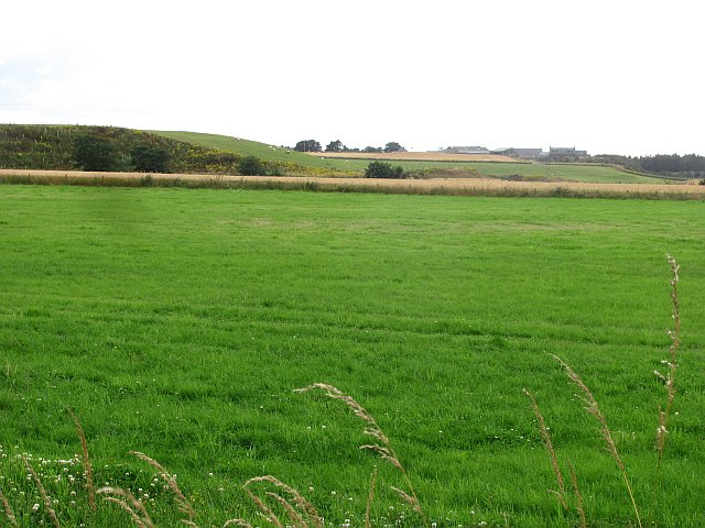
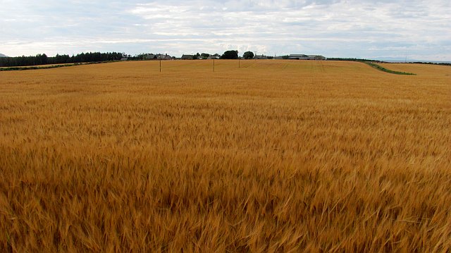
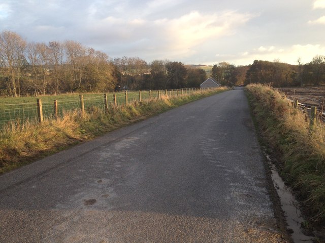
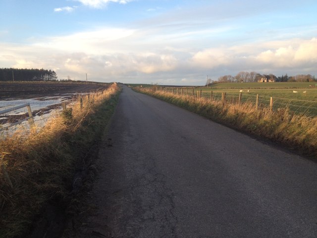
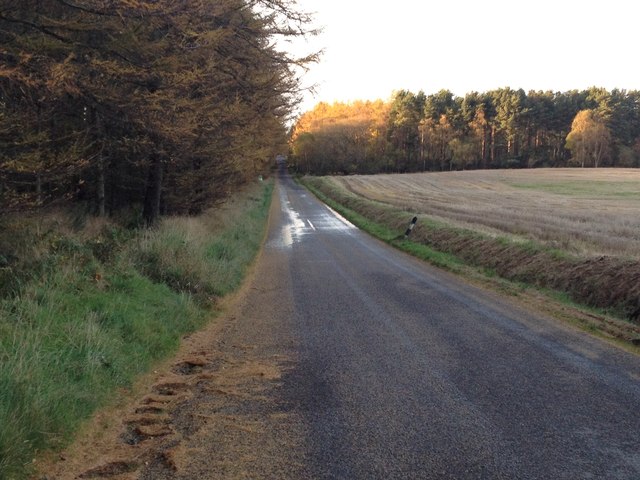
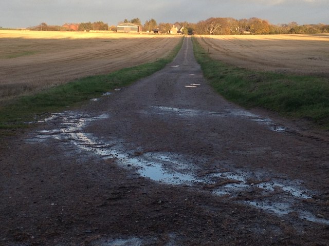
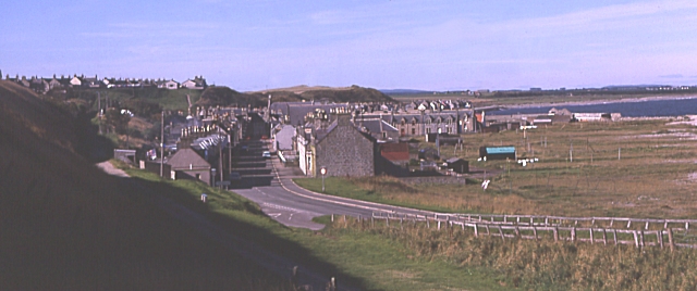
Moor of Auchenhalrig is a picturesque wood located in Banffshire, Scotland. Spanning over a vast area, it is renowned for its dense forest and diverse wildlife. The wood is situated in close proximity to the village of Auchenhalrig, adding to its accessibility and popularity among locals and tourists alike.
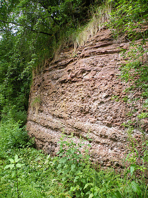
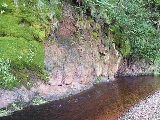
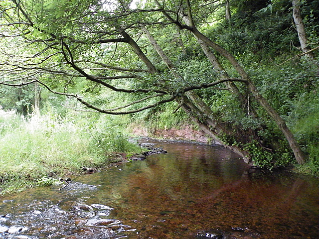
The Moor of Auchenhalrig boasts a rich variety of tree species, including oak, birch, and pine, creating a vibrant and lush environment. The towering trees provide a natural canopy, casting a cool shade and offering a peaceful retreat for nature enthusiasts. The forest floor is carpeted with a dense layer of moss, adding to the enchanting atmosphere and providing a soft underfoot experience.
The wood is home to a range of wildlife, making it a haven for nature lovers. Visitors can spot various bird species such as woodpeckers, owls, and thrushes, while lucky observers may catch a glimpse of elusive mammals like red squirrels and deer. The tranquil surroundings and abundance of wildlife make the Moor of Auchenhalrig an excellent location for birdwatching and nature photography.
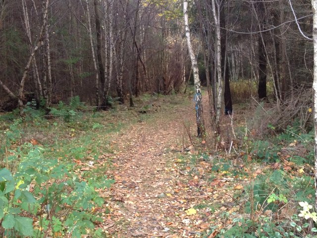
Visitors can explore the wood via well-maintained walking trails, offering the opportunity to immerse themselves in the beauty of the natural surroundings. The wood also features picnic areas, allowing visitors to relax and enjoy a meal amidst the serene atmosphere.
In conclusion, Moor of Auchenhalrig is a captivating wood in Banffshire, Scotland, offering a stunning landscape, diverse flora and fauna, and a tranquil escape from the bustle of everyday life.
If you have any feedback on the listing, please let us know in the comments section below.
Moor of Auchenhalrig Images
Images are sourced within 2km of 57.643124/-3.0429117 or Grid Reference NJ3761. Thanks to Geograph Open Source API. All images are credited.


Moor of Auchenhalrig is located at Grid Ref: NJ3761 (Lat: 57.643124, Lng: -3.0429117)
Unitary Authority: Moray
Police Authority: North East
What 3 Words
///pegged.inserting.acrobatic. Near Fochabers, Moray
Nearby Locations
Related Wikis

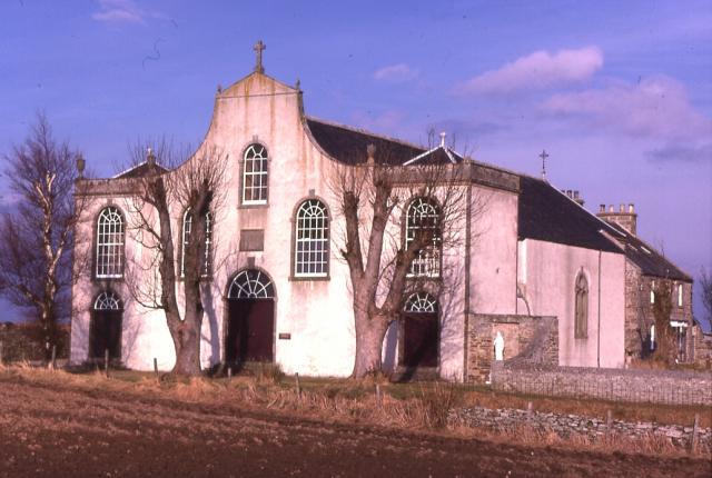
St Ninian's Church, Tynet
St Ninian's Church, Tynet is a historic Roman Catholic clandestine church located at Tynet about 4 miles to the west of Buckie, Scotland in the Enzie region...

Lower Auchenreath
Lower Auchenreath is a tiny rural settlement situated in the North East Coast of Scotland. It is home to a mixed arable/animal farm and is only a mile...
Upper Dallachy
Upper Dallachy is a small village situated in Moray, Scotland, approximately 2 miles south-east of Spey Bay. The village is located next to the now-abandoned...

Portgordon railway station
Portgordon railway station was a railway station in Portgordon in Moray, Scotland. The railway station was opened by the Great North of Scotland Railway...

Gordon Tomb
The Gordon Tomb is a classical colonnaded mausoleum in the parish of Bellie in Moray, Scotland. It houses the sarcophagi of the second wife of the 4th...
Portgordon
Portgordon, or sometimes Port Gordon, (Scottish Gaelic: Port Ghòrdain) is a village in Moray, Scotland, 2 km (1+1⁄4 mi) south-west of Buckie. It was established...
St Gregory's Church, Preshome
St. Gregory's Church is a Roman Catholic church at Preshome near Buckie in north-east Scotland. It is protected as a category A listed building.Built...

Old Church of St John
The Old Church of St John is a ruined church, incorporating a finely carved sacrament house and situated within a historic burial ground in Kirktown of...
Nearby Amenities
Located within 500m of 57.643124,-3.0429117Have you been to Moor of Auchenhalrig?
Leave your review of Moor of Auchenhalrig below (or comments, questions and feedback).