Buddle
Settlement in Hampshire New Forest
England
Buddle
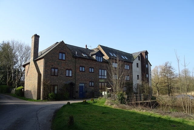
Buddle is a small village located in the county of Hampshire, England. Situated in the beautiful countryside, it is nestled between the towns of Alton and Basingstoke. The village is known for its picturesque setting, with rolling hills, open fields, and quaint cottages dotting the landscape.
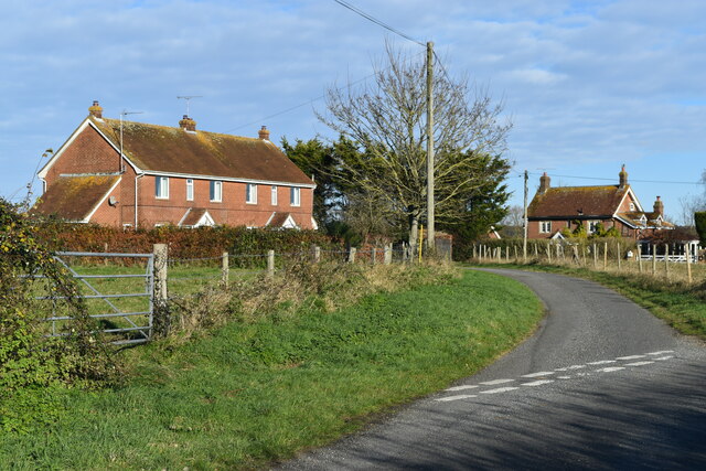
Buddle is home to a close-knit community, with a population of around 500 residents. The village has a rich history, dating back to medieval times. Many of the buildings in Buddle showcase the traditional architecture of the region, adding to its charm.
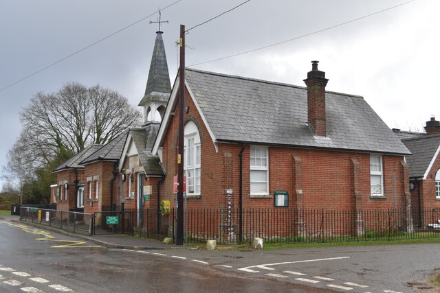
The village boasts several amenities to cater to its residents' needs. These include a local primary school, a village hall, and a small post office. There is also a village pub, which serves as a popular meeting place for locals and visitors alike. The pub often hosts community events and provides a warm and friendly atmosphere.
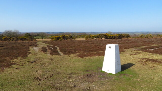
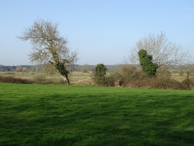
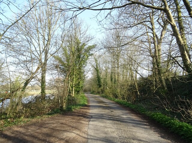
Nature lovers are drawn to Buddle for its stunning surroundings. The village is surrounded by lush greenery, making it an ideal location for walking and hiking. The nearby countryside offers numerous trails and pathways, allowing residents to explore the natural beauty of the area.
Buddle is well-connected to neighboring towns and cities, with easy access to transport links. The village is serviced by regular bus services, which provide convenient connections to Alton and Basingstoke. The main train stations in these towns offer further transportation options for both commuting and leisure purposes.
In summary, Buddle is a charming village in Hampshire, offering a tranquil and idyllic setting for its residents. With its rich history, beautiful landscapes, and strong sense of community, it is a place that captures the essence of rural England.
If you have any feedback on the listing, please let us know in the comments section below.
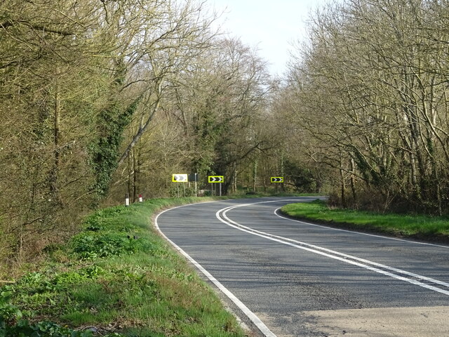
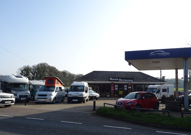
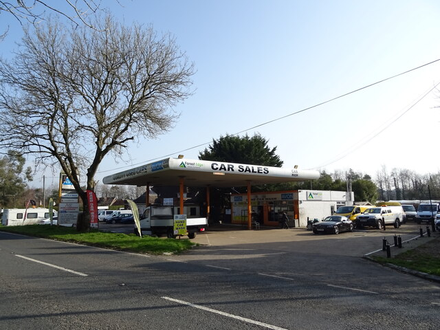
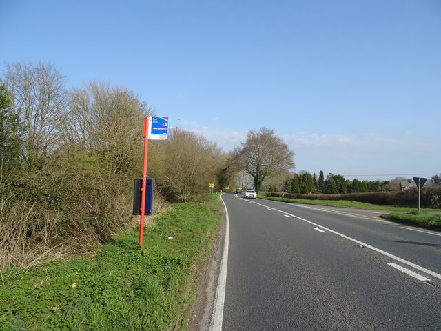
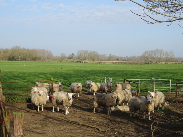
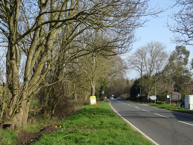
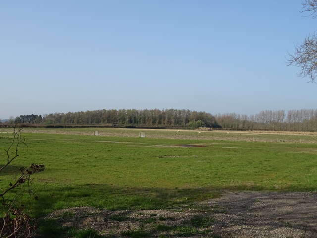
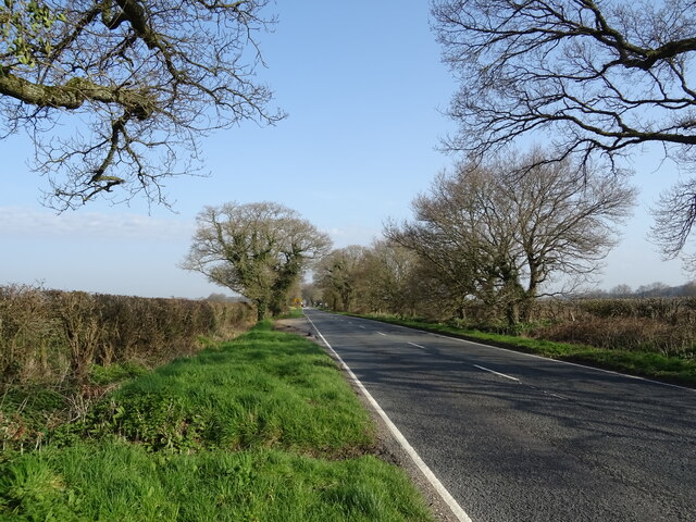
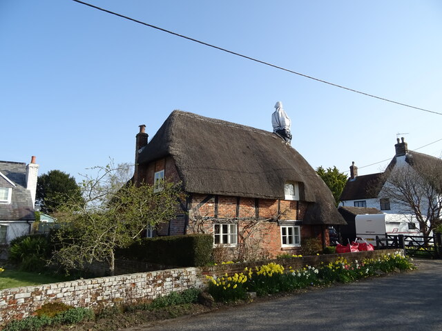
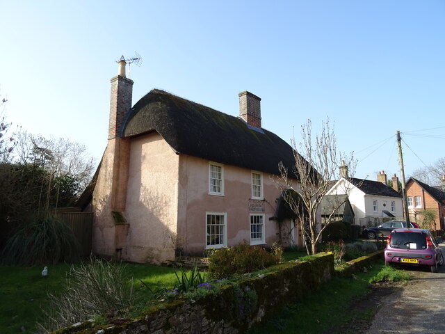
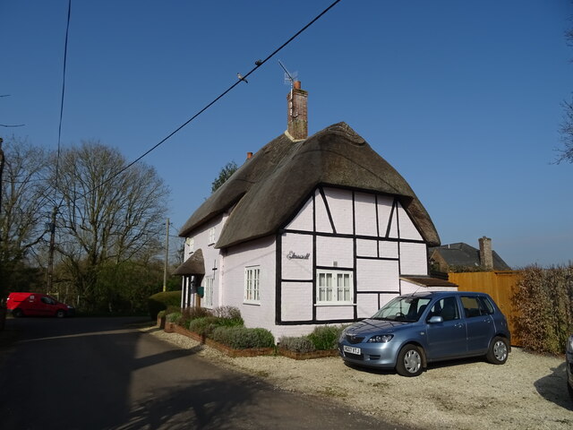
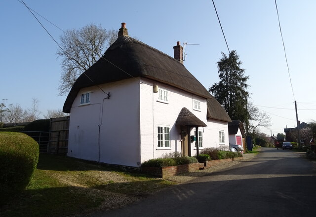
Buddle Images
Images are sourced within 2km of 50.904095/-1.7690061 or Grid Reference SU1611. Thanks to Geograph Open Source API. All images are credited.
Buddle is located at Grid Ref: SU1611 (Lat: 50.904095, Lng: -1.7690061)
Administrative County: Hampshire
District: New Forest
Police Authority: Hampshire
What 3 Words
///rollover.crucially.matter. Near Fordingbridge, Hampshire
Nearby Locations
Related Wikis

Gorley Hill
Gorley Hill is the site of a former Iron Age promontory hillfort located in Hampshire in the United Kingdom. The fort once occupied the southwestern corner...

North Gorley
North Gorley is a hamlet in the New Forest National Park of Hampshire, England. Its nearest town is Fordingbridge, which lies approximately 2 miles (3...

Hungerford, Hampshire
Hungerford is a hamlet in the New Forest National Park of Hampshire, England. Its nearest town is Fordingbridge, which lies approximately 2 miles (3.4...

Furze Hill
Furze Hill (or Furzehill) is a hamlet situated in the New Forest National Park of Hampshire, England. It is in the civil parish of Ellingham, Harbridge...

Hyde, Hampshire
Hyde is a village and civil parish in the New Forest near Fordingbridge in Hampshire, England. == Overview == The parish of Hyde is mostly within the boundary...

Gorley Lynch
Gorley Lynch is a hamlet in the civil parish of Gorley in the New Forest National Park of Hampshire, England. It is in the civil parish of Hyde. Its nearest...

Frogham, Hampshire
Frogham is a small village in the New Forest National Park of Hampshire, England. It is in the civil parish of Hyde. Its nearest town is Fordingbridge...

Latchmore Brook
The Latchmore Brook is a significant stream in the New Forest, Hampshire, England. It rises from the elevated gravel plateaus in the north of the Forest...
Related Videos

I Stay In A Five-Star Holiday Park - Sandyballs Holiday Village in The New Forest
Subscribe https://bit.ly/KevinChapmanTravel Join https://bit.ly/KevinChapmanJoin First time here?

Our Family Holiday at Sandy Balls in the New Forest
Had a lovely time with the family at Sandy Balls Holiday village in the New Forest. #sandyballs #holiday #newforest.

HOLIDAY VLOG | DAY ONE | SANDY BALLS HOLIDAY VILLAGE
First holiday of 2019 and it was amazing really loved this place will be going there again hopefully next year! it has great facilities ...

Alpaca Walk at Away Resorts Sandy Balls - An Alpaca Walking Experience
We stayed at Away Resorts Sandy Balls in the New Forest, Hampshire. Whilst there we got the chance to walk their alpaca's.
Nearby Amenities
Located within 500m of 50.904095,-1.7690061Have you been to Buddle?
Leave your review of Buddle below (or comments, questions and feedback).