Gorley, North

Settlement in Hampshire New Forest

England

Gorley, North

Salisbury Road (A338)
Salisbury Road (A338) Credit: JThomas

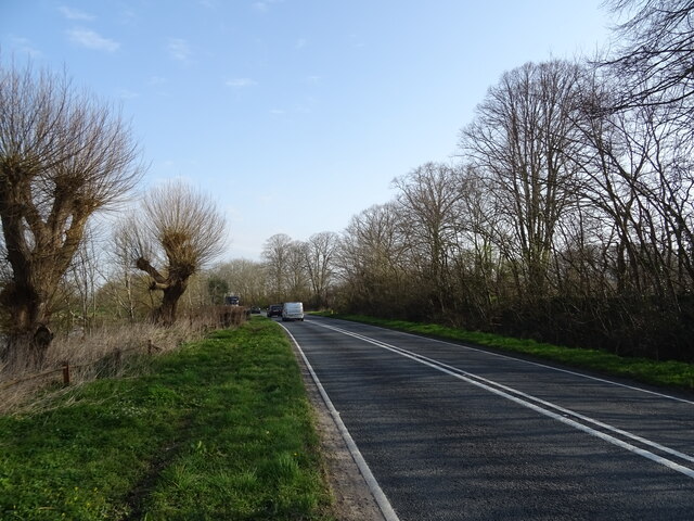
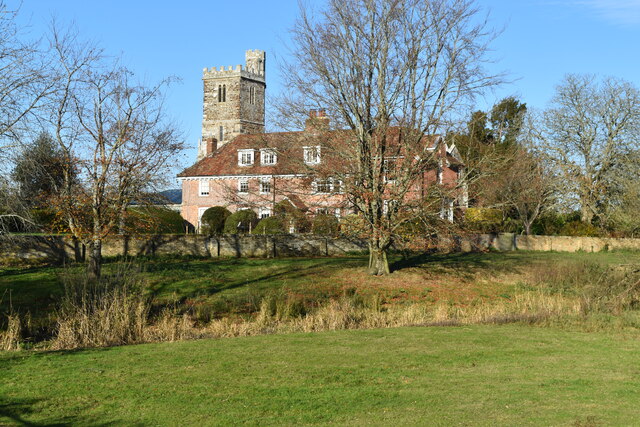
Gorley is a small village located in the civil parish of North in the county of Hampshire, England. Situated in the southwestern part of the New Forest National Park, Gorley is surrounded by picturesque natural beauty and offers a tranquil and idyllic setting for its residents and visitors.

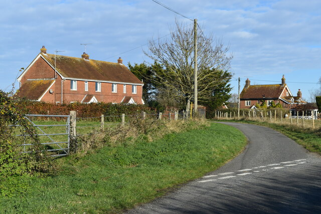
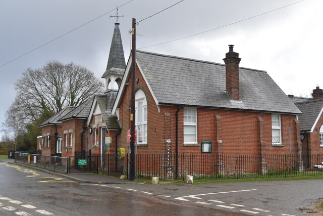
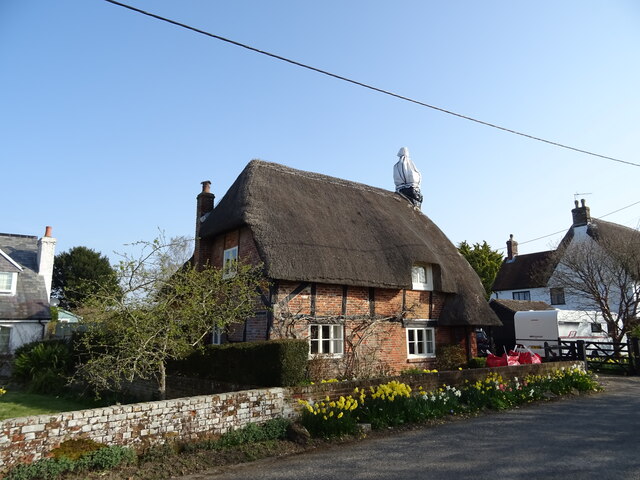
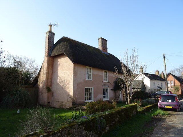
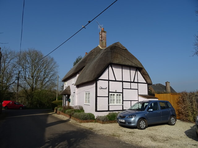
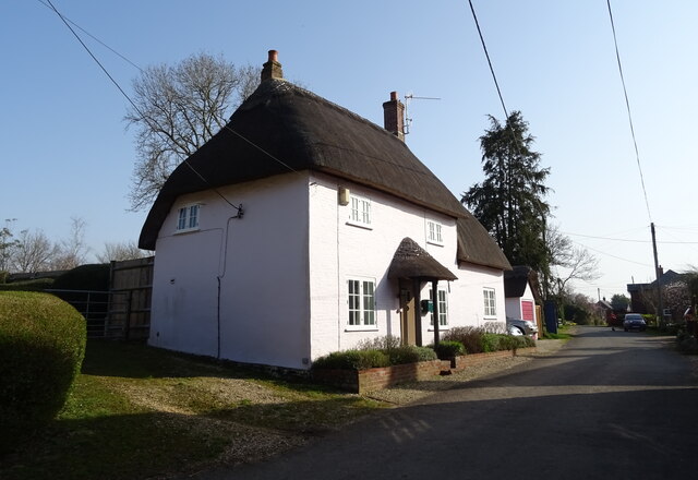
The village of Gorley is known for its charming rural character, with a scattering of traditional thatched cottages and farmhouses that add to its quaint appeal. The village is primarily residential, with a small population that contributes to its tight-knit community atmosphere.

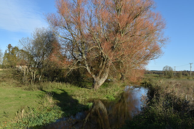
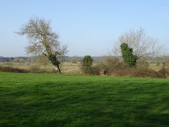
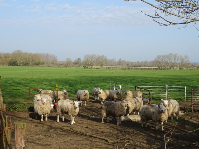
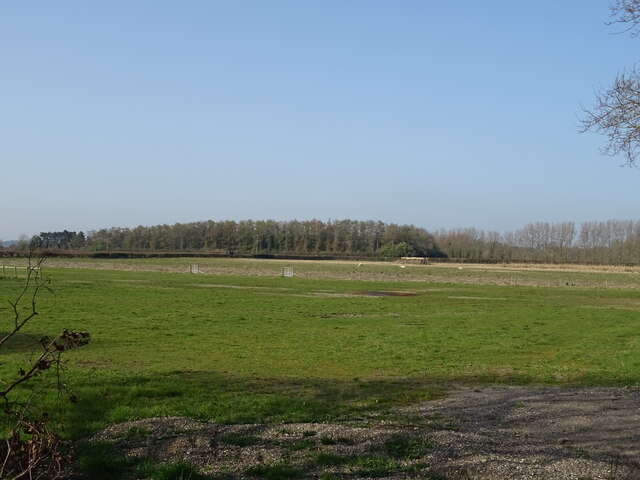
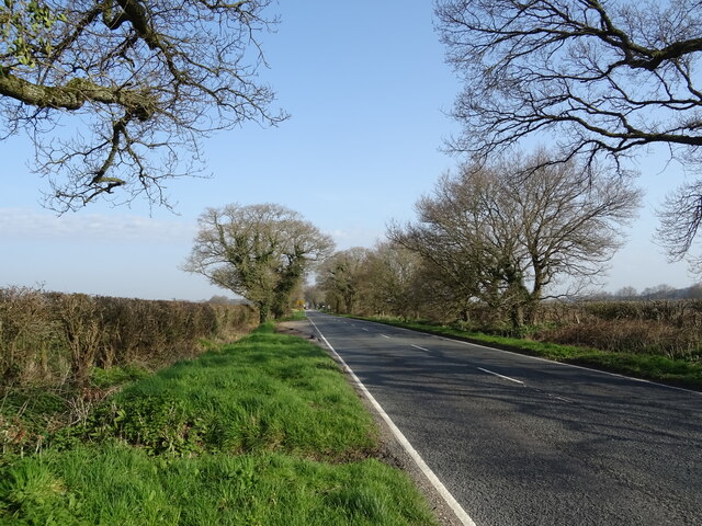
Gorley is blessed with an abundance of natural attractions, making it a popular destination for nature enthusiasts and outdoor lovers. The village is bordered by the Gorley Common, a vast area of heathland and woodland that provides ample opportunities for walking, cycling, and horse riding. The Gorley Hill is a notable feature in the area, offering panoramic views of the surrounding landscape.

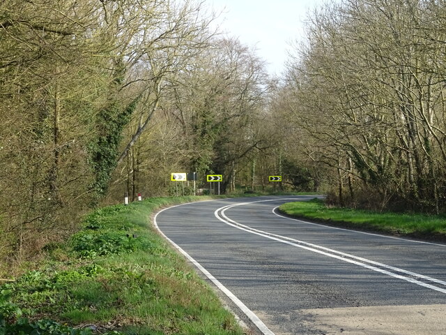
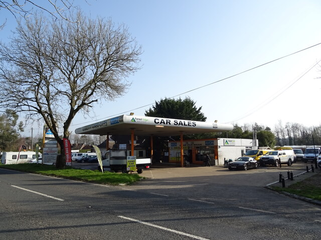
Despite its small size, Gorley benefits from its proximity to nearby towns and villages, including Fordingbridge and Ringwood. These provide essential amenities such as shops, schools, and healthcare facilities for the residents of Gorley.

Overall, Gorley is a charming and peaceful village nestled in the heart of the New Forest National Park. Its natural beauty and tight-knit community make it an attractive place to live or visit for those seeking a tranquil rural escape.

If you have any feedback on the listing, please let us know in the comments section below.

Gorley, North Images

Images are sourced within 2km of 50.903489/-1.776149 or Grid Reference SU1611. Thanks to Geograph Open Source API. All images are credited.

Salisbury Road (A338)
Harbridge House and church
River channel near Harbridge House
Houses at Harbridge Green
Hyde Church of England Primary School
Grazing off the A338
Bend in Salisbury Road (A338)
Motorhome sales on Ringwood Road
Car sales on Ringwood Road
Bus stop on Ringwood Road
Sheep, North Gorley
Sheep, North Gorley
Ringwood Road (A338) towards Salisbury
Grazing off the A338
A338 towards Salisbury
Thatched cottage, Bickton
Show me another place!

Gorley, North is located at Grid Ref: SU1611 (Lat: 50.903489, Lng: -1.776149)

Administrative County: Hampshire

District: New Forest

Police Authority: Hampshire

What 3 Words

///glove.rewarding.width. Near Fordingbridge, Hampshire

Related Wikis

North Gorley

North Gorley is a hamlet in the New Forest National Park of Hampshire, England. Its nearest town is Fordingbridge, which lies approximately 2 miles (3...

Gorley Hill

Gorley Hill is the site of a former Iron Age promontory hillfort located in Hampshire in the United Kingdom. The fort once occupied the southwestern corner...

Hungerford, Hampshire

Hungerford is a hamlet in the New Forest National Park of Hampshire, England. Its nearest town is Fordingbridge, which lies approximately 2 miles (3.4...

Latchmore Brook

The Latchmore Brook is a significant stream in the New Forest, Hampshire, England. It rises from the elevated gravel plateaus in the north of the Forest...

Hyde, Hampshire

Hyde is a village and civil parish in the New Forest near Fordingbridge in Hampshire, England. == Overview == The parish of Hyde is mostly within the boundary...

Furze Hill

Furze Hill (or Furzehill) is a hamlet situated in the New Forest National Park of Hampshire, England. It is in the civil parish of Ellingham, Harbridge...

Bickton

Bickton is a hamlet in the New Forest District of Hampshire, England. It is within the civil parish of Fordingbridge and is situated by the River Avon...

Gorley Lynch

Gorley Lynch is a hamlet in the civil parish of Gorley in the New Forest National Park of Hampshire, England. It is in the civil parish of Hyde. Its nearest...

Nearby Amenities

Located within 500m of 50.903489,-1.776149
Hungerford
Is In: Hampshire, England, UK
Place: hamlet
Source: npe
Wikidata: Q5943346
Lat/Long: 50.9062841/-1.7718521
North Gorley
Is In: Hampshire, England, UK
Place: hamlet
Source: npe
Wikidata: Q7055497
Lat/Long: 50.9023206/-1.7735143
Barrier: cattle_grid
Bicycle: yes
Motorcar: yes
Lat/Long: 50.903539/-1.7751114
Guest House: bed_and_breakfast
Tourism: guest_house
Lat/Long: 50.901629/-1.7801125
Bus Stop
Lawrence Lane
Bench: no
Bin: no
Bus: yes
Lit: no
Naptan AtcoCode: 1900HA081029
Naptan Bearing: S
Naptan CommonName: North Gorley Turn
Naptan Crossing: Lawrence Lane
Naptan NaptanCode: hamadjtd
Naptan Street: Ringwood Road
Naptan Verified: no
Public Transport: platform
Shelter: no
Source: naptan_import
Tactile Paving: no
Lat/Long: 50.9030764/-1.7810021
Bus Stop
Lawrence Lane
Bench: no
Bin: no
Bus: yes
Lit: no
Naptan AtcoCode: 1900HA081030
Naptan Bearing: N
Naptan CommonName: North Gorley Turn
Naptan Crossing: Lawrence Lane
Naptan NaptanCode: hamadjta
Naptan Street: Ringwood Road
Naptan Verified: no
Public Transport: platform
Shelter: no
Source: naptan_import
Tactile Paving: no
Lat/Long: 50.9030676/-1.7810875
Bus Stop
White Motors
Bench: no
Bin: no
Bus: yes
Lit: no
Naptan AtcoCode: 1900HA081031
Naptan Bearing: S
Naptan CommonName: Chalkies Cafe
Naptan Landmark: Old Filling Station
Naptan NaptanCode: hamadjpw
Naptan Street: Ringwood Road
Naptan Verified: no
Public Transport: platform
Shelter: no
Source: naptan_import
Tactile Paving: no
Lat/Long: 50.9052628/-1.7816319
Bus Stop
White Motors
Bench: no
Bin: no
Bus: yes
Lit: no
Naptan AtcoCode: 1900HA081032
Naptan Bearing: N
Naptan CommonName: Chalkies Cafe
Naptan Landmark: Old Filling Station
Naptan NaptanCode: hamadjpt
Naptan Street: Ringwood Road
Naptan Verified: no
Public Transport: platform
Shelter: no
Source: naptan_import
Tactile Paving: no
Lat/Long: 50.905326/-1.7817738
Bus Stop
North Gorley Cattle Grid
Bus: yes
Naptan AtcoCode: 1900HA081089
Naptan Bearing: SW
Naptan CommonName: North Gorley Cattle Grid
Naptan Crossing: Lawrence Lane
Naptan NaptanCode: hamadmga
Naptan Street: Ringwood Road
Naptan Verified: no
Public Transport: platform
Source: naptan_import
Lat/Long: 50.9032969/-1.7739898
Bus Stop
North Gorley Cattle Grid
Bus: yes
Naptan AtcoCode: 1900HA081090
Naptan Bearing: NW
Naptan CommonName: North Gorley Cattle Grid
Naptan Crossing: Lawrence Lane
Naptan NaptanCode: hamadmdp
Naptan Street: Ringwood Road
Naptan Verified: no
Public Transport: platform
Source: naptan_import
Lat/Long: 50.9031803/-1.7741895
Pub
The Royal Oak
Wikidata: Q26634137
Lat/Long: 50.9064427/-1.7725433
Post Box
Postal Code: SP6
Ref: SP6 44
Lat/Long: 50.9035369/-1.7734238
Gorley Tea Rooms Bed & Breakfast
Tourism: guest_house
Lat/Long: 50.9058643/-1.7726029
Restaurant
Little Mere Restaurant
Lat/Long: 50.9057594/-1.7726405
Greenfields Camp Site
Tourism: camp_site
Lat/Long: 50.901559/-1.7729452
Buddle
Place: hamlet
Lat/Long: 50.904131/-1.7695673
The data included in this document is from www.openstreetmap.org. The data is made available under ODbL.

Have you been to Gorley, North?

Leave your review of Gorley, North below (or comments, questions and feedback).