Gorley Hill
Hill, Mountain in Hampshire New Forest
England
Gorley Hill
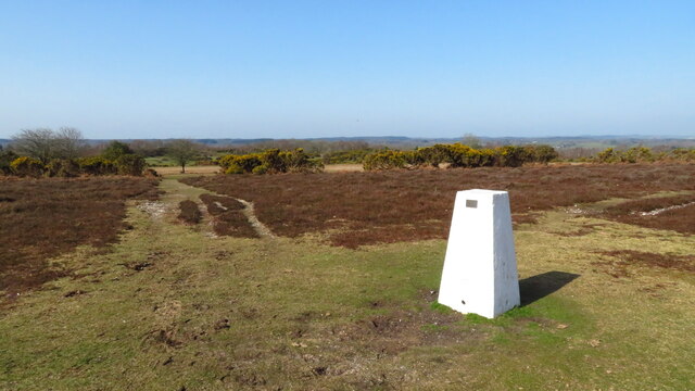
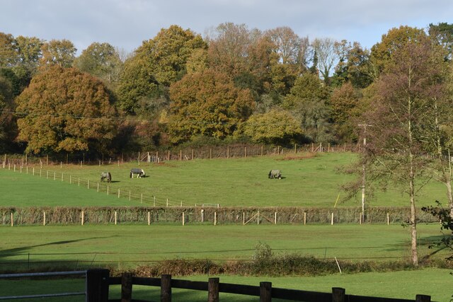
Gorley Hill is a prominent geographical landmark located in the county of Hampshire, England. Situated in the New Forest National Park, it is part of the larger Gorley Common and stands at an elevation of approximately 200 meters (656 feet) above sea level. Although referred to as a hill, it is more accurately described as a gentle rise in the landscape rather than a mountain.
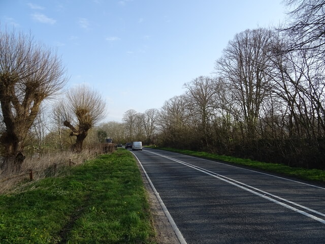
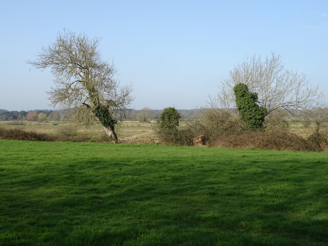
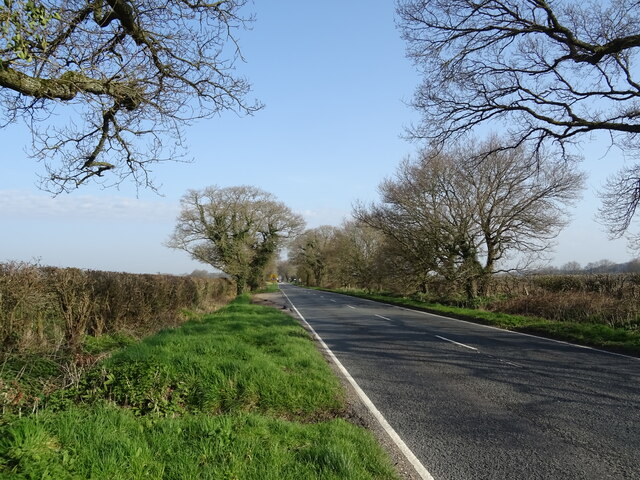
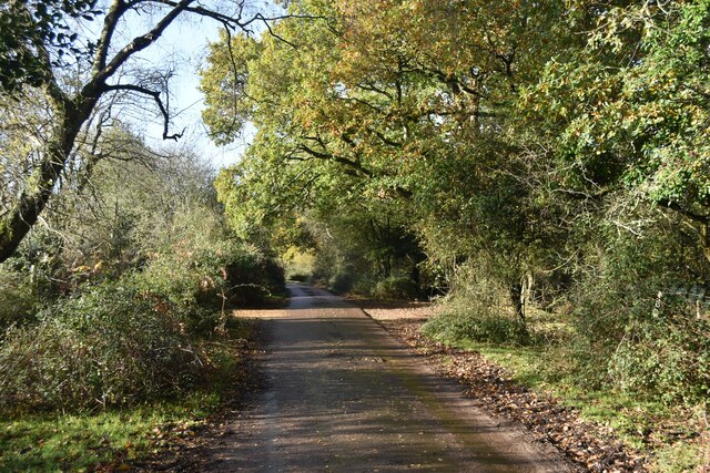
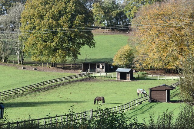
The area surrounding Gorley Hill is characterized by its diverse and picturesque scenery. Dense woodlands, open heathlands, and rolling meadows contribute to the natural beauty of the region. The hill itself is covered in heather and gorse, providing a colorful display during the summer months.
Gorley Hill offers magnificent views of the surrounding countryside, including the nearby valleys and the Avon Valley to the west. On clear days, it is even possible to catch glimpses of the Isle of Wight in the distance. These sweeping vistas make the hill a popular destination for hikers, nature enthusiasts, and photographers.
The hill is also home to an array of wildlife, including deer, rabbits, and various species of birds. This makes it an excellent spot for birdwatching and wildlife spotting.
Gorley Hill, with its natural beauty and tranquil ambiance, offers visitors a chance to escape the hustle and bustle of everyday life and immerse themselves in the serene surroundings of the New Forest National Park.
If you have any feedback on the listing, please let us know in the comments section below.
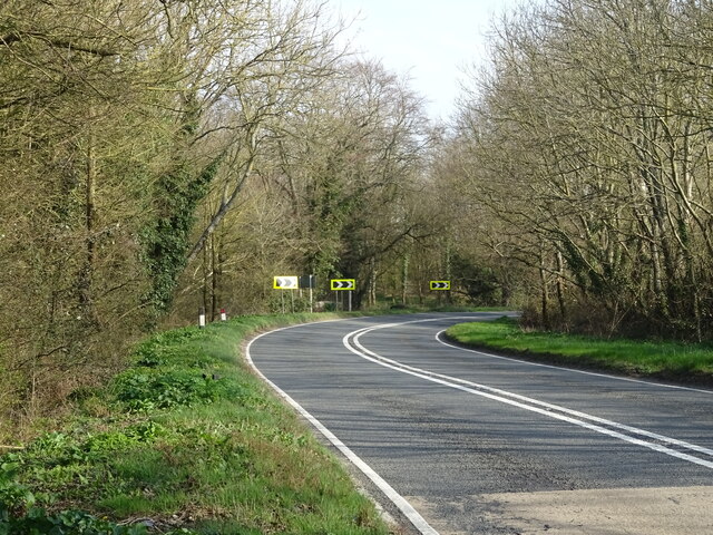
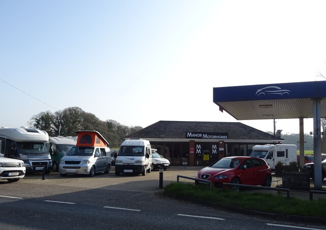
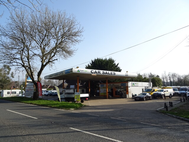
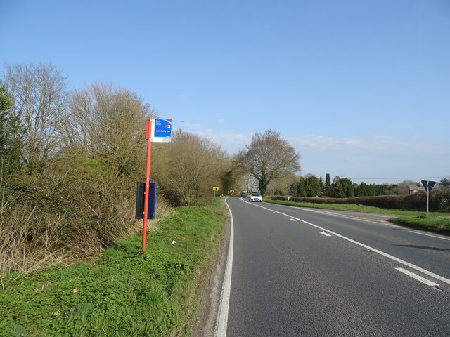
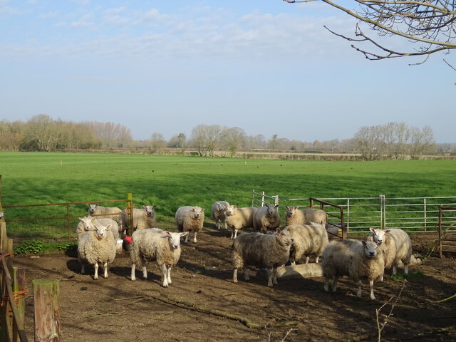
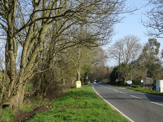
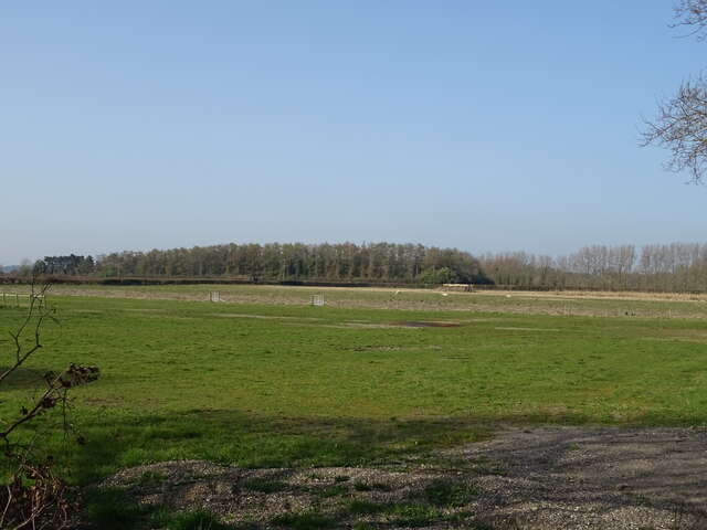
Gorley Hill Images
Images are sourced within 2km of 50.900694/-1.7679706 or Grid Reference SU1611. Thanks to Geograph Open Source API. All images are credited.

Gorley Hill is located at Grid Ref: SU1611 (Lat: 50.900694, Lng: -1.7679706)
Administrative County: Hampshire
District: New Forest
Police Authority: Hampshire
What 3 Words
///presented.outline.relaxed. Near Fordingbridge, Hampshire
Nearby Locations
Related Wikis

Gorley Hill
Gorley Hill is the site of a former Iron Age promontory hillfort located in Hampshire in the United Kingdom. The fort once occupied the southwestern corner...

North Gorley
North Gorley is a hamlet in the New Forest National Park of Hampshire, England. Its nearest town is Fordingbridge, which lies approximately 2 miles (3...

Furze Hill
Furze Hill (or Furzehill) is a hamlet situated in the New Forest National Park of Hampshire, England. It is in the civil parish of Ellingham, Harbridge...

Hungerford, Hampshire
Hungerford is a hamlet in the New Forest National Park of Hampshire, England. Its nearest town is Fordingbridge, which lies approximately 2 miles (3.4...

Gorley Lynch
Gorley Lynch is a hamlet in the civil parish of Gorley in the New Forest National Park of Hampshire, England. It is in the civil parish of Hyde. Its nearest...

Hyde, Hampshire
Hyde is a village and civil parish in the New Forest near Fordingbridge in Hampshire, England. == Overview == The parish of Hyde is mostly within the boundary...

Latchmore Brook
The Latchmore Brook is a significant stream in the New Forest, Hampshire, England. It rises from the elevated gravel plateaus in the north of the Forest...

South Gorley
South Gorley is a hamlet in the New Forest National Park of Hampshire, England. It is in the civil parish of Ellingham, Harbridge and Ibsley. Its nearest...
Nearby Amenities
Located within 500m of 50.900694,-1.7679706Have you been to Gorley Hill?
Leave your review of Gorley Hill below (or comments, questions and feedback).