Gunville
Settlement in Hampshire New Forest
England
Gunville
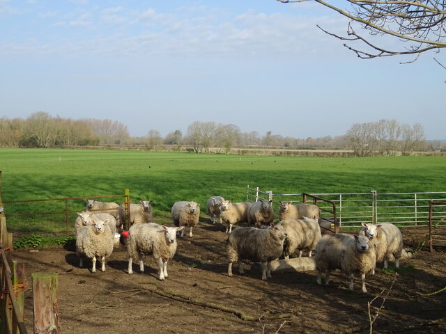
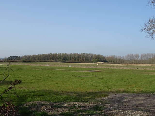
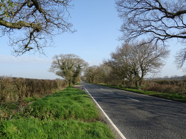
Gunville is a small village located in the county of Hampshire, England. Situated just north of Newport, the village is nestled within the picturesque countryside, offering a tranquil and idyllic setting for its residents. The village is part of the wider civil parish of Carisbrooke and is surrounded by lush green fields and rolling hills, providing stunning views of the natural landscape.
Gunville has a rich history, with evidence of human habitation dating back to prehistoric times. The village is named after the nearby Gunville Down, a prominent hill that played a strategic role during the English Civil War. Today, visitors can explore the remnants of gun emplacements and defensive structures that once guarded the area.
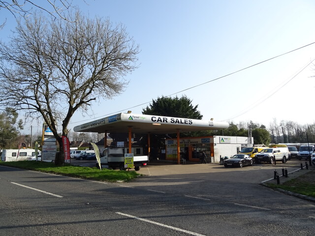
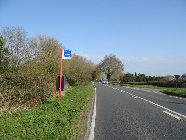
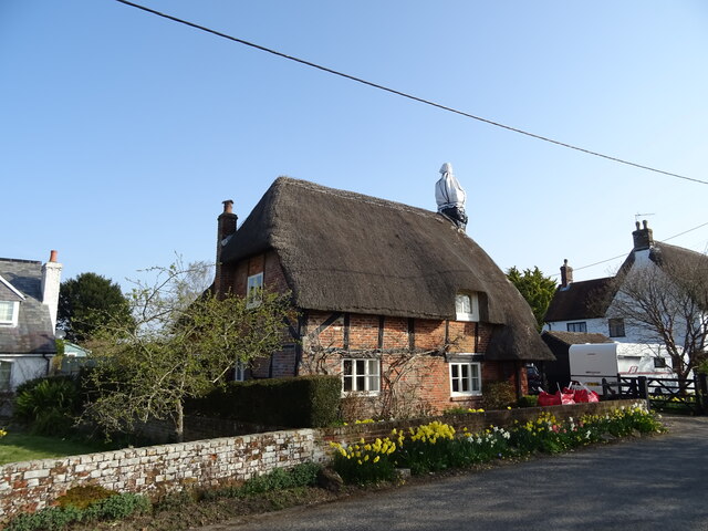
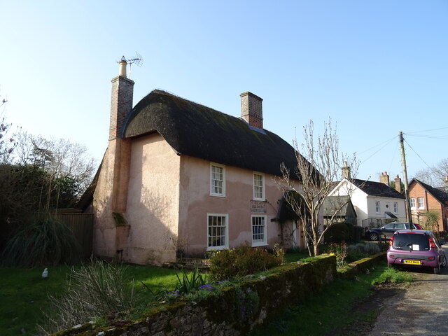
The village itself is home to a close-knit community, with a population of around 1,500 residents. It boasts a range of amenities, including a local primary school, village hall, and a pub, providing a hub for social gatherings and events. The village also benefits from excellent transport links, with regular bus services connecting it to the nearby towns and cities.
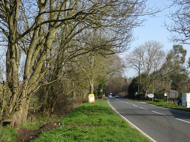
Nature enthusiasts will find plenty to enjoy in Gunville, with numerous walking trails and countryside paths offering opportunities for leisurely strolls and outdoor activities. The village is also in close proximity to Carisbrooke Castle, a historic landmark that attracts tourists from far and wide.
Overall, Gunville offers a peaceful and picturesque retreat for those seeking a quiet village lifestyle, while still providing easy access to the amenities and attractions of the surrounding area.
If you have any feedback on the listing, please let us know in the comments section below.
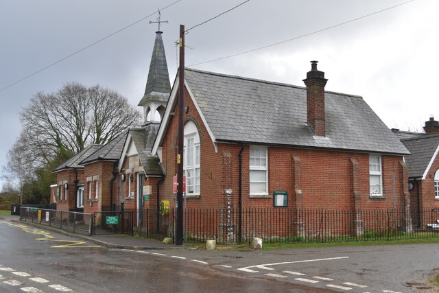
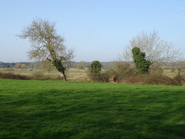
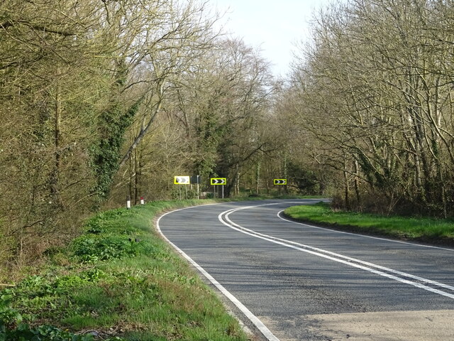
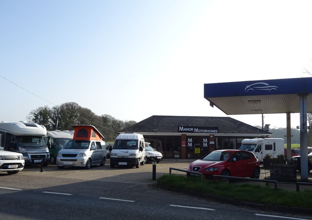
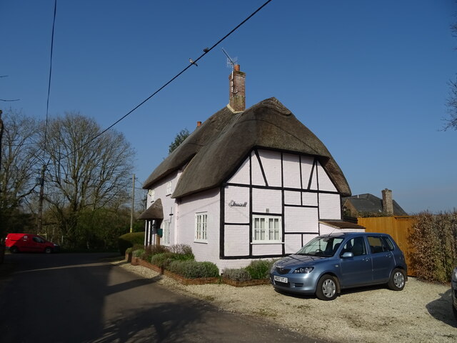
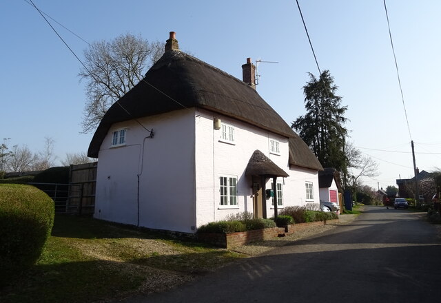
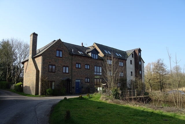
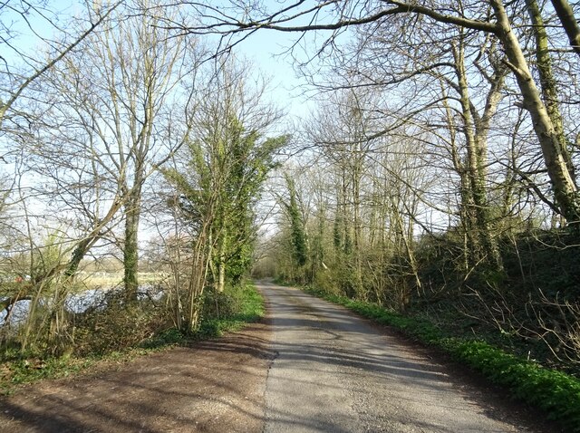
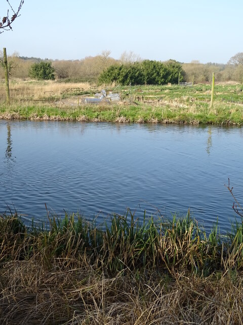
Gunville Images
Images are sourced within 2km of 50.906535/-1.7661922 or Grid Reference SU1611. Thanks to Geograph Open Source API. All images are credited.
Gunville is located at Grid Ref: SU1611 (Lat: 50.906535, Lng: -1.7661922)
Administrative County: Hampshire
District: New Forest
Police Authority: Hampshire
What 3 Words
///tilts.arranged.fixtures. Near Fordingbridge, Hampshire
Nearby Locations
Related Wikis

Hungerford, Hampshire
Hungerford is a hamlet in the New Forest National Park of Hampshire, England. Its nearest town is Fordingbridge, which lies approximately 2 miles (3.4...

Gorley Hill
Gorley Hill is the site of a former Iron Age promontory hillfort located in Hampshire in the United Kingdom. The fort once occupied the southwestern corner...

Hyde, Hampshire
Hyde is a village and civil parish in the New Forest near Fordingbridge in Hampshire, England. == Overview == The parish of Hyde is mostly within the boundary...

North Gorley
North Gorley is a hamlet in the New Forest National Park of Hampshire, England. Its nearest town is Fordingbridge, which lies approximately 2 miles (3...
Nearby Amenities
Located within 500m of 50.906535,-1.7661922Have you been to Gunville?
Leave your review of Gunville below (or comments, questions and feedback).