North Gluss
Settlement in Shetland
Scotland
North Gluss
North Gluss is a small rural settlement located on the island of Shetland, which is part of Scotland, United Kingdom. It is situated on the eastern coast of the mainland, approximately 14 miles northeast of Lerwick, the capital of Shetland.
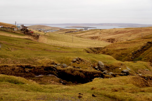
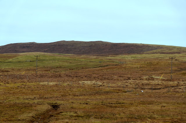
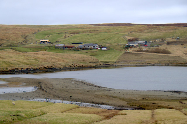
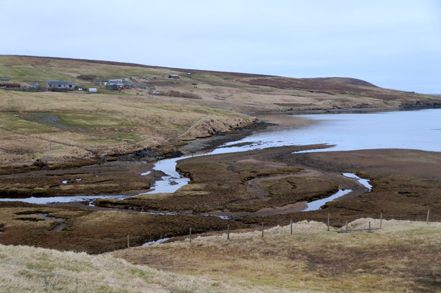
The village lies within a picturesque countryside, surrounded by rolling hills and stunning coastal scenery. Its remote location offers a tranquil and idyllic setting, making it a popular destination for those seeking a peaceful retreat or a base for exploring the natural beauty of the Shetland Islands.
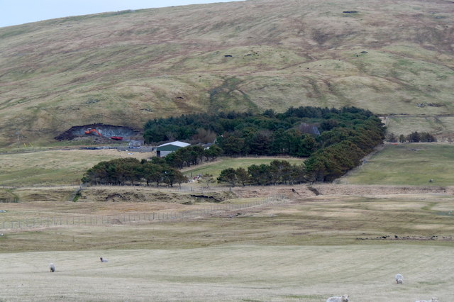
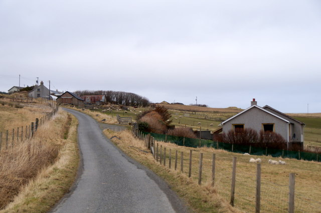
With a population of around 200 residents, North Gluss maintains a close-knit community atmosphere. The village is primarily residential, with a scattering of traditional stone houses and farms dotting the landscape. The residents are mainly engaged in agriculture and fishing, reflecting the area's reliance on these traditional industries.
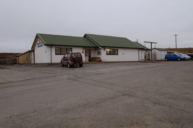
Although it is a quiet and remote settlement, North Gluss is not completely isolated. It is well-connected to the rest of Shetland by road, and public transportation services are available, ensuring easy access to the nearby towns and villages. The village also benefits from basic amenities, including a local shop, a primary school, and a community hall, which serves as a social hub for gatherings and events.
North Gluss is an ideal location for those who appreciate the simplicity of rural living and the beauty of the natural surroundings. Visitors can enjoy peaceful walks along the coastline, explore the nearby nature reserves, or simply immerse themselves in the tranquility of this charming Shetland village.
If you have any feedback on the listing, please let us know in the comments section below.
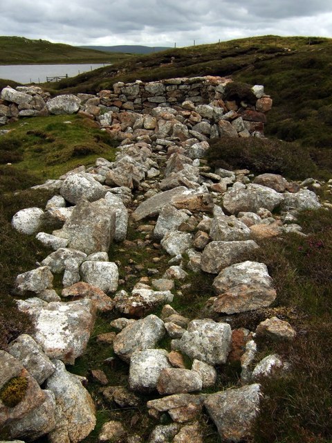
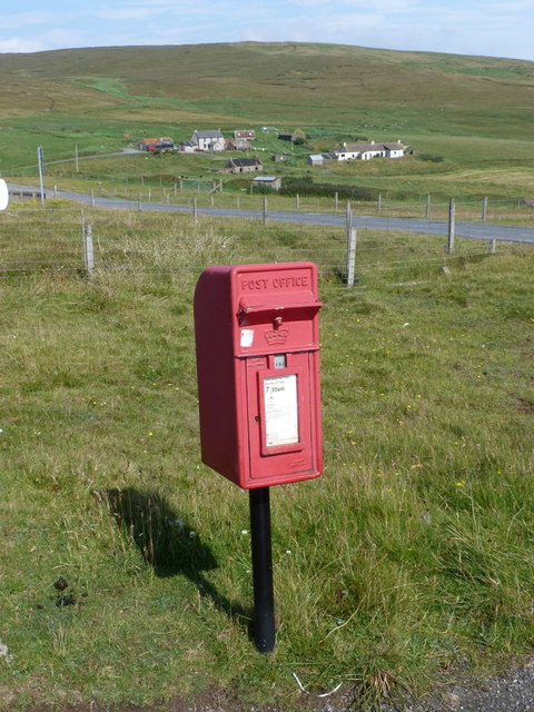
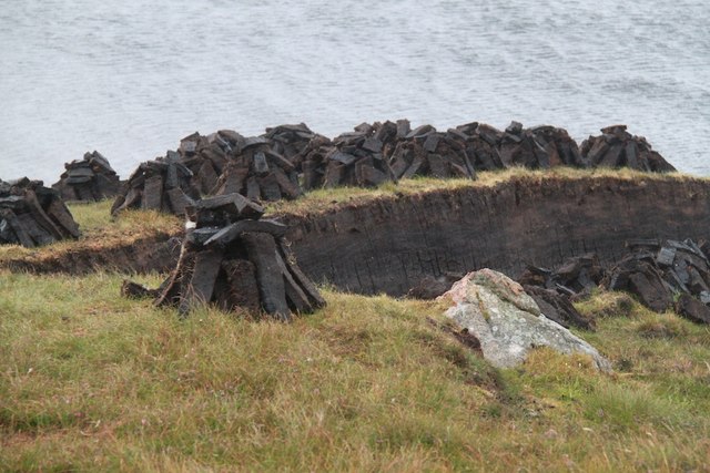
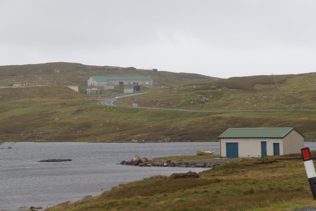
North Gluss Images
Images are sourced within 2km of 60.480796/-1.3702522 or Grid Reference HU3477. Thanks to Geograph Open Source API. All images are credited.


North Gluss is located at Grid Ref: HU3477 (Lat: 60.480796, Lng: -1.3702522)
Unitary Authority: Shetland Islands
Police Authority: Highlands and Islands
What 3 Words
///rebounded.winning.blanket. Near Toft, Shetland Islands
Nearby Locations
Related Wikis

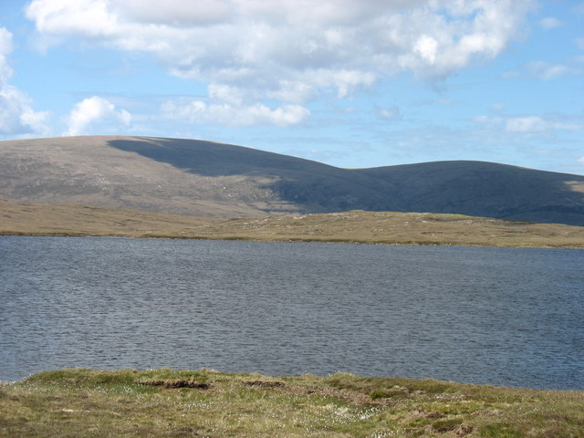
Eela Water
Eela Water is a freshwater loch (lake) in Northmavine, part of the mainland of Shetland in Scotland. Besides being a freshwater fishing location, the site...

Northmavine
Northmavine or Northmaven (Old Norse: Norðan Mæfeið, meaning ‘the land north of the Mavis Grind’) is a peninsula in northwest Mainland Shetland in Scotland...

Punds Water
Punds Water is a freshwater loch near Mangaster in Northmavine, Shetland. It also gives its name to a nearby Neolithic heel-shaped cairn. == Heel-shaped... ==

Ollaberry
Ollaberry (Old Norse: Olafrsberg, meaning Olaf's Hill) is a village on Mainland, Shetland, Scotland on the west shore of Yell Sound, 10.9 miles (17.5 km...
Nearby Amenities
Located within 500m of 60.480796,-1.3702522Have you been to North Gluss?
Leave your review of North Gluss below (or comments, questions and feedback).