South Gluss
Settlement in Shetland
Scotland
South Gluss
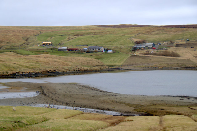
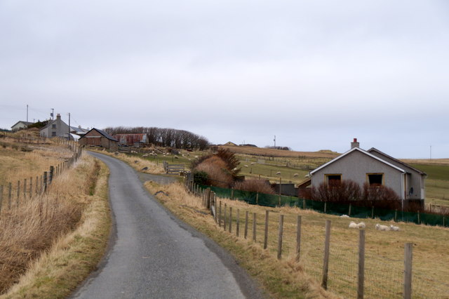
South Gluss is a small village located in the Shetland Islands, an archipelago in Scotland. It is situated on the west coast of the main island, known as Mainland, and lies approximately 6 miles northwest of the town of Lerwick. With its picturesque surroundings and tranquil atmosphere, South Gluss is a popular destination for visitors seeking a peaceful retreat.
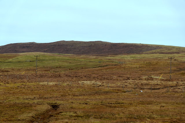
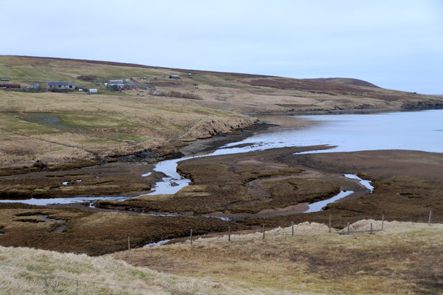
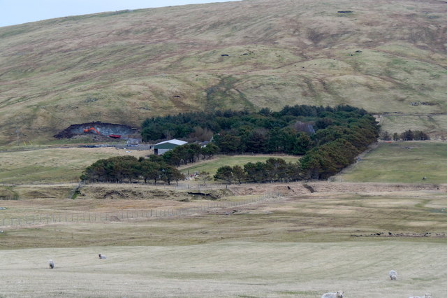
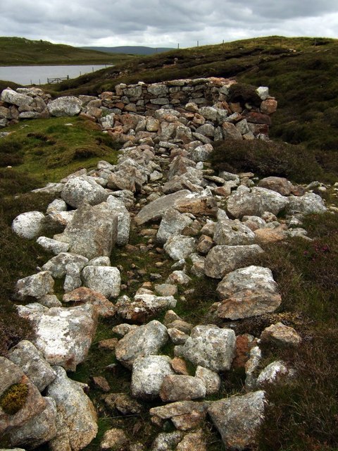
The village is characterized by its traditional Shetland architecture, with charming stone-built houses and cottages dotting the landscape. Surrounded by rolling green hills and offering breathtaking views of the North Sea, South Gluss boasts a stunning natural beauty that attracts nature enthusiasts and photographers alike.
Despite its small size, South Gluss offers a range of amenities for its residents and visitors. A local shop provides basic necessities, while a nearby pub serves as a gathering place for the community. The village also has a primary school, ensuring that children have access to education within their immediate vicinity.
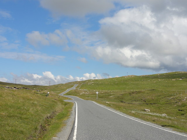
South Gluss is ideally located for exploring the wider Shetland Islands. The nearby coastline is a haven for birdwatchers, as it is home to various seabird colonies, including puffins, guillemots, and fulmars. Additionally, the village is within driving distance of popular attractions such as the ancient Mousa Broch, a well-preserved Iron Age tower, and the Sumburgh Head Lighthouse, which offers stunning views of the rugged cliffs and surrounding seas.
Overall, South Gluss is a charming village that offers a peaceful retreat amidst the natural beauty of the Shetland Islands. Its idyllic setting, combined with its proximity to key attractions, makes it a must-visit destination for those seeking tranquility and a taste of traditional Shetland life.
If you have any feedback on the listing, please let us know in the comments section below.
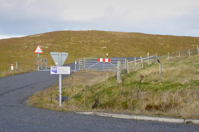
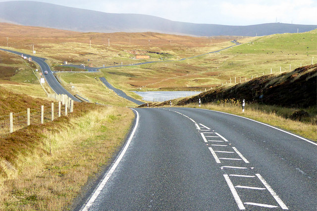
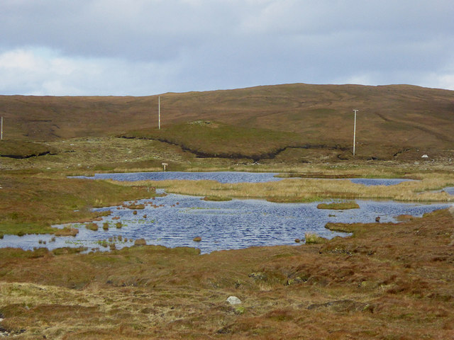
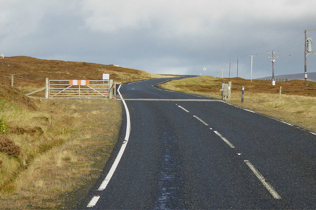
South Gluss Images
Images are sourced within 2km of 60.475291/-1.3833828 or Grid Reference HU3477. Thanks to Geograph Open Source API. All images are credited.


South Gluss is located at Grid Ref: HU3477 (Lat: 60.475291, Lng: -1.3833828)
Unitary Authority: Shetland Islands
Police Authority: Highlands and Islands
What 3 Words
///courier.hook.blotting. Near Brae, Shetland Islands
Nearby Locations
Related Wikis

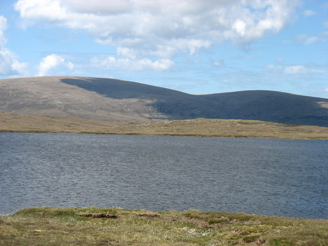
Eela Water
Eela Water is a freshwater loch (lake) in Northmavine, part of the mainland of Shetland in Scotland. Besides being a freshwater fishing location, the site...

Punds Water
Punds Water is a freshwater loch near Mangaster in Northmavine, Shetland. It also gives its name to a nearby Neolithic heel-shaped cairn. == Heel-shaped... ==

Northmavine
Northmavine or Northmaven (Old Norse: Norðan Mæfeið, meaning ‘the land north of the Mavis Grind’) is a peninsula in northwest Mainland Shetland in Scotland...
Gunnister
Gunnister is a small 'abandoned' village at the North-West Mainland in Shetland, Scotland. It is most commonly known for the Gunnister Man - the remains...
Nearby Amenities
Located within 500m of 60.475291,-1.3833828Have you been to South Gluss?
Leave your review of South Gluss below (or comments, questions and feedback).