Buckley Wood

Settlement in Lancashire

England

Buckley Wood

Tandle Hill War memorial atop Tandle Hill.
Tandle Hill Credit: Peter McDermott

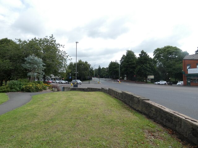
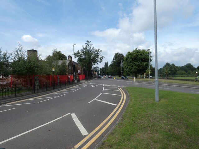
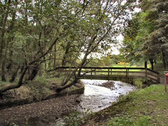
Buckley Wood is a small village located in the county of Lancashire, England. Situated in the North West region of the country, it is nestled in the picturesque countryside, surrounded by rolling green hills and lush woodlands. The village lies within close proximity to the larger towns of Blackburn and Preston, providing easy access to urban amenities while still maintaining a peaceful rural atmosphere.

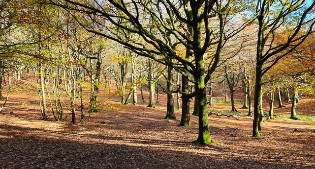
Buckley Wood is known for its charming and idyllic setting, making it a popular destination for nature lovers and outdoor enthusiasts. The village is renowned for its beautiful walking trails, offering breathtaking views of the surrounding landscape. With an abundance of flora and fauna, Buckley Wood is a haven for wildlife, making it an ideal spot for birdwatching and nature photography.

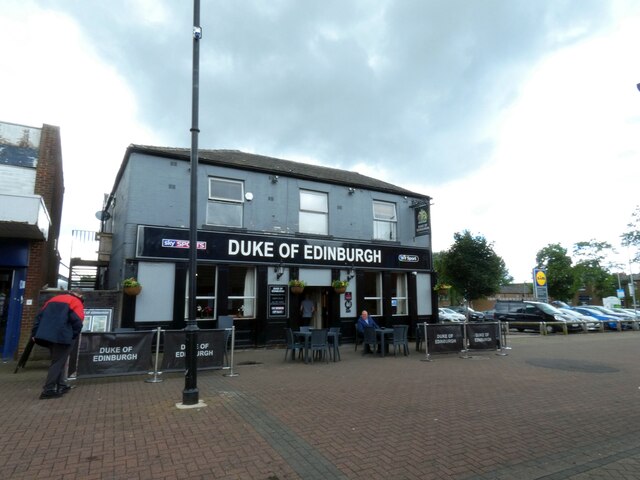
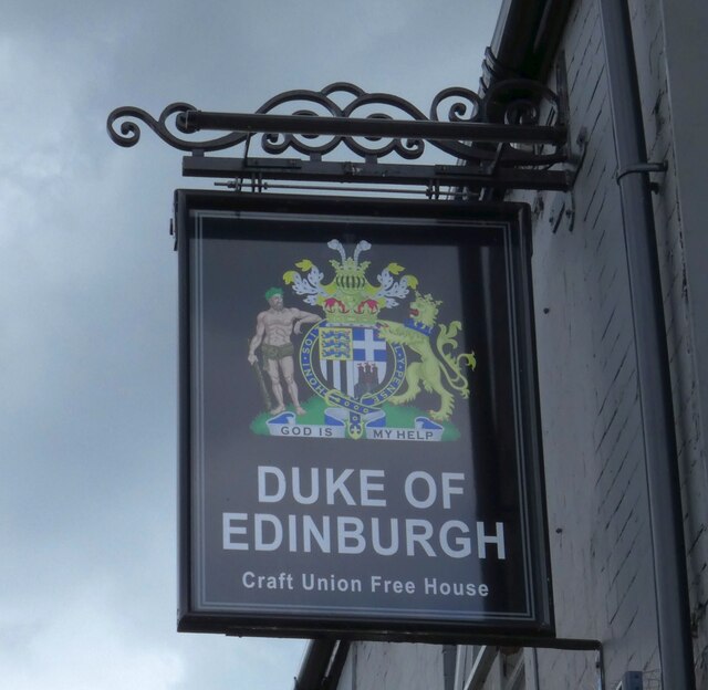
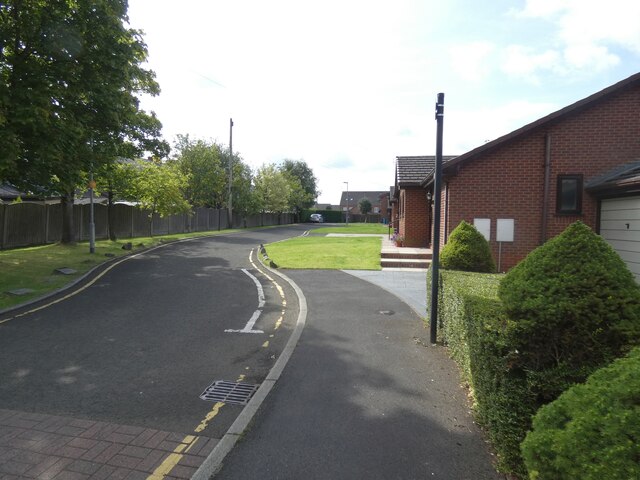
The village itself is relatively small, with a tight-knit community that values a strong sense of community spirit. There are a few local amenities available, including a small convenience store and a cozy village pub, where locals and visitors can socialize and enjoy a pint of traditional British ale.

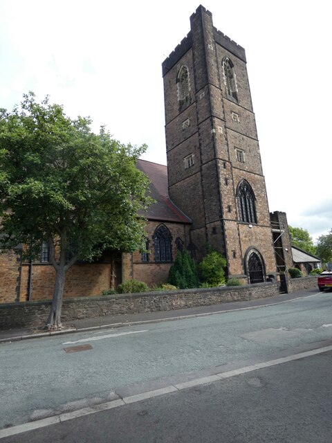
Buckley Wood is also steeped in history, with some notable historical landmarks in the area. The village is home to a centuries-old church, showcasing exquisite architecture and serving as a reminder of the area's rich heritage.

Overall, Buckley Wood offers a tranquil and picturesque retreat from the hustle and bustle of city life, providing a charming countryside experience for residents and visitors alike.

If you have any feedback on the listing, please let us know in the comments section below.
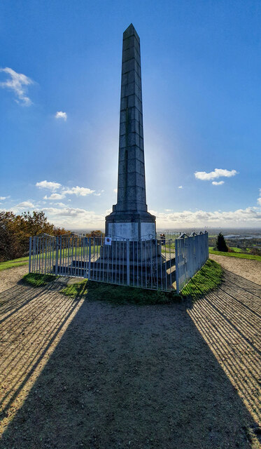
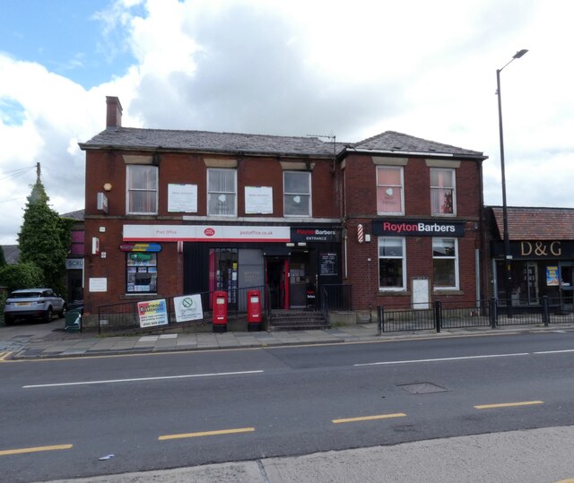
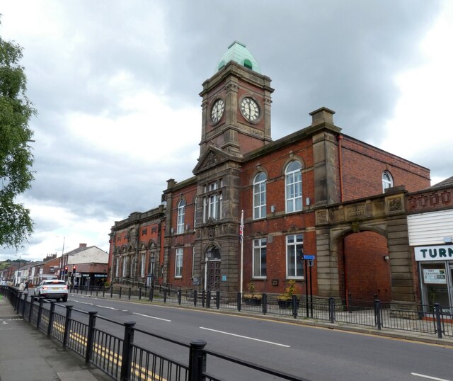
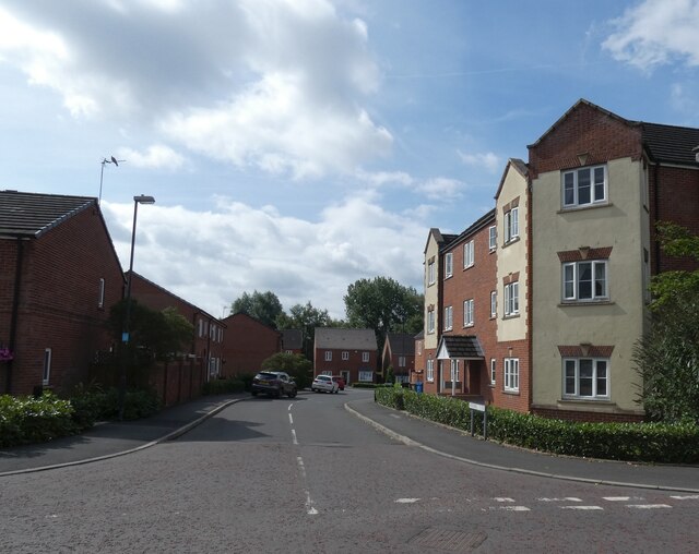
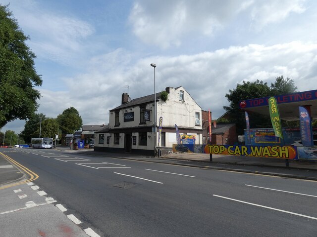
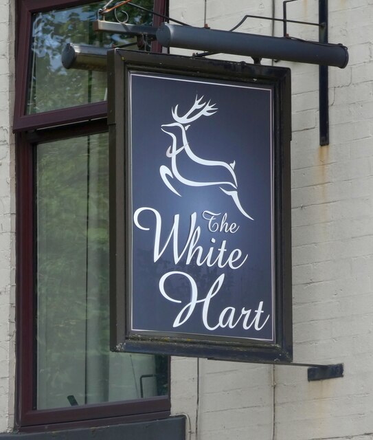
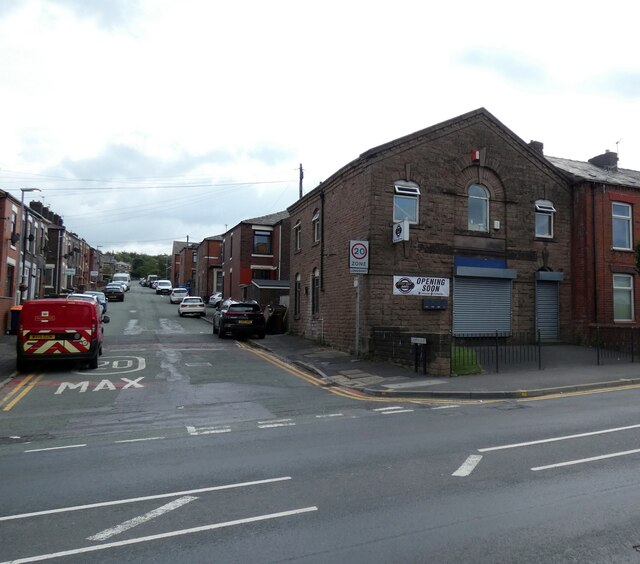
Buckley Wood Images

Images are sourced within 2km of 53.560431/-2.1446778 or Grid Reference SD9007. Thanks to Geograph Open Source API. All images are credited.

Tandle Hill War memorial atop Tandle Hill.
Tandle Hill
War memorial atop Tandle Hill.
Tandle Hill Country Park
Royton Post Office 
With Royton Barbers next door.
Royton Post Office
With Royton Barbers next door.
Rochdale Road, Royton 
The A671 through Royton. On the right is the former Royton Town Hall. Next to it is the Carnegie Library. Surprisingly neither building is listed. The Town Hall dates from 1880 and was the home of Royton Urban District Council from 1894 until 1974 when Oldham Metropolitan Borough Council took over. Both buildings are currently undergoing restoration work.
Rochdale Road, Royton
The A671 through Royton. On the right is the former Royton Town Hall. Next to it is the Carnegie Library. Surprisingly neither building is listed. The Town Hall dates from 1880 and was the home of Royton Urban District Council from 1894 until 1974 when Oldham Metropolitan Borough Council took over. Both buildings are currently undergoing restoration work.
Duke of Edinburgh A Craft Union Free House.

<a href="https://www.geograph.org.uk/photo/7220865">SD9107 : Sign of the Duke of Edinburgh</a>.
Duke of Edinburgh
A Craft Union Free House. SD9107 : Sign of the Duke of Edinburgh.
Sign of the Duke of Edinburgh Sign for the Duke of Edinburgh <a href="https://www.geograph.org.uk/photo/7220858">SD9107 : Duke of Edinburgh</a>.
Sign of the Duke of Edinburgh
Sign for the Duke of Edinburgh SD9107 : Duke of Edinburgh.
Railway Hotel, Royton A J W Lees pub on the corner of Oldham Road and High Barn Street. Originally it was called the Railway Hotel but as it presumably no longer lets room it is known simply as The Railway <a href="https://www.geograph.org.uk/photo/7221754">SD9207 : Sign of The Railway</a>.
Railway Hotel, Royton
A J W Lees pub on the corner of Oldham Road and High Barn Street. Originally it was called the Railway Hotel but as it presumably no longer lets room it is known simply as The Railway SD9207 : Sign of The Railway.
Sign of The Railway Sign for the J W Lees pub, originally the Railway Hotel <a href="https://www.geograph.org.uk/photo/7221750">SD9207 : Railway Hotel, Royton</a> but now known simply as The Railway.
Sign of The Railway
Sign for the J W Lees pub, originally the Railway Hotel SD9207 : Railway Hotel, Royton but now known simply as The Railway.
Oldham Road The A671 out of Royton.
Oldham Road
The A671 out of Royton.
Playing fields off Broadway
A663 Broadway 

The A663 towards Shaw crossing the A671 from Oldham to Rochdale.
A663 Broadway
The A663 towards Shaw crossing the A671 from Oldham to Rochdale.
A663 Broadway 
The A663 towards Chadderton from the slip road off  the A671.
A663 Broadway
The A663 towards Chadderton from the slip road off the A671.
St Anne's Royton 
The Grade II* listed <span class="nowrap"><a title="https://historicengland.org.uk/listing/the-list/list-entry/1356418?section=official-list-entry" rel="nofollow ugc noopener" href="https://historicengland.org.uk/listing/the-list/list-entry/1356418?section=official-list-entry">Link</a><img style="margin-left:2px;" alt="External link" title="External link - shift click to open in new window" src="https://s1.geograph.org.uk/img/external.png" width="10" height="10"/></span> dates from 1908-09 with tower added in 1926-27.
St Anne's Royton
The Grade II* listed LinkExternal link dates from 1908-09 with tower added in 1926-27.
Verity Close Off St Anne's Avenue.
Verity Close
Off St Anne's Avenue.
Windmill Close Off Jones Street.
Windmill Close
Off Jones Street.
White Hart, Oldham Road, Royton Between a bus stop and a car wash on the A671.

<a href="https://www.geograph.org.uk/photo/7250518">SD9206 : Sign of The White Hart</a>.
White Hart, Oldham Road, Royton
Between a bus stop and a car wash on the A671. SD9206 : Sign of The White Hart.
Sign of The White Hart Sign for The White Hart <a href="https://www.geograph.org.uk/photo/7250513">SD9206 : White Hart, Oldham Road, Royton</a>.
Sign of The White Hart
Sign for The White Hart SD9206 : White Hart, Oldham Road, Royton.
Cutting Edge Barber 
Opening shortly according to the notice. The building on the corner of Campania Street and Oldham Road looks as if it was originally a chapel. Streetview imagery shows it was Ananda's Bridal Company in 2008. In 2012 it was "Mobile and Computer World" which by 2017 had morphed into "Dream PC". By 2018 it was boarded up. Mid 2019-2020 it was "Rawsome Pets". 2021 sees it all shuttered up.
Cutting Edge Barber
Opening shortly according to the notice. The building on the corner of Campania Street and Oldham Road looks as if it was originally a chapel. Streetview imagery shows it was Ananda's Bridal Company in 2008. In 2012 it was "Mobile and Computer World" which by 2017 had morphed into "Dream PC". By 2018 it was boarded up. Mid 2019-2020 it was "Rawsome Pets". 2021 sees it all shuttered up.
Show me another place!

Buckley Wood is located at Grid Ref: SD9007 (Lat: 53.560431, Lng: -2.1446778)

Unitary Authority: Oldham

Police Authority: Greater Manchester

What 3 Words

///wires.avoid.melon. Near Royton, Manchester

Related Wikis

St Matthew's Church, Chadderton

The Parish Church of St. Matthew is the Church of England parish church for Chadderton in Greater Manchester, England. It forms part of the Diocese of...

North Chadderton School

North Chadderton School is a mixed gender secondary school and sixth form, located in Chadderton, in the Metropolitan Borough of Oldham, Greater Manchester...

Healds Green

Healds Green is a hamlet in the Metropolitan Borough of Oldham, Greater Manchester, England. It is in Chadderton's semi rural northern area, just to the...

Thorp Mill, Royton

Thorp Mill, Royton was built by Ralph Taylor at Thorp Clough in 1764. This is reputed to be the first cotton mill in Lancashire to be powered by water...

Chadderton Hall Park

Chadderton Hall Park is a park in Chadderton, in the Metropolitan Borough of Oldham, Greater Manchester, England. Its roots stretch back to the 13th century...

Boundary Park

Boundary Park is a football stadium in Oldham, Greater Manchester, England. Its name originates from the fact that it lies at the northwestern extremity...

Oldham Academy North

The Oldham Academy North (TOAN) is a mixed gender secondary school with academy status for 11- to 16-year-olds located in the Royton area of Oldham, Greater...

Baretrees, Greater Manchester

Baretrees (or Bare Trees) is a residential area of Chadderton in the Metropolitan Borough of Oldham, in Greater Manchester, England. It takes its name...

Nearby Amenities

Located within 500m of 53.560431,-2.1446778
JD Sports
Brand: JD Sports
Brand Wikidata: Q6108019
Shop: sports
Lat/Long: 53.5580473/-2.1385004
Bus Stop
Buckley Wood, Streetbridge Road / outside Irk Bridge
Bus: yes
Naptan AtcoCode: 1800ED03801
Naptan Bearing: SW
Naptan CommonName: Streetbridge Road/Irk Bridge
Naptan Indicator: On Bridge
Naptan Landmark: HOUSE 120
Naptan NaptanCode: manamadg
Naptan PlusbusZoneRef: MNCRPIC
Naptan ShortCommonName: Irk Bridge
Naptan Street: STREETBRIDGE
Naptan Verified: no
Network: TfGM
Operator: TfGM
Public Transport: platform
Source: naptan_import
Lat/Long: 53.558895/-2.1483552
Bus Stop
Burnley Lane/Beech Avenue
Bus: yes
Naptan AtcoCode: 1800ED10721
Naptan Bearing: W
Naptan CommonName: Burnley Lane/Beech Avenue
Naptan Indicator: Nr House 485
Naptan Landmark: HOUSE 485
Naptan NaptanCode: manamjmj
Naptan PlusbusZoneRef: MNCRPIC
Naptan ShortCommonName: Beech Avenue
Naptan Street: BURNLEY LANE
Naptan Verified: no
Network: TfGM
Public Transport: platform
Source: naptan_import
Lat/Long: 53.5562992/-2.1473175
Bus Stop
Burnley Lane/Beech Avenue
Bus: yes
Naptan AtcoCode: 1800ED10731
Naptan Bearing: E
Naptan CommonName: Burnley Lane/Beech Avenue
Naptan Indicator: O/s House 472
Naptan Landmark: HOUSE 472
Naptan NaptanCode: manamjmp
Naptan PlusbusZoneRef: MNCRPIC
Naptan ShortCommonName: Beech Avenue
Naptan Street: BURNLEY LANE
Naptan Verified: no
Network: TfGM
Public Transport: platform
Source: naptan_import
Lat/Long: 53.556264/-2.1466834
Bus Stop
Street Bridge, Street Bridge Road / near Bridleway
Bus: yes
Naptan AtcoCode: 1800ED02461
Naptan Bearing: NE
Naptan CommonName: Streetbridge Road/Bridleway
Naptan Indicator: Royton Auto
Naptan Landmark: ROYTON AUTO
Naptan NaptanCode: manajwjw
Naptan PlusbusZoneRef: MNCRPIC
Naptan ShortCommonName: Bridleway
Naptan Street: STREETBRIDGE
Naptan Verified: no
Network: TfGM
Operator: TfGM
Public Transport: platform
Source: naptan_import
Lat/Long: 53.5613198/-2.1432285
Bus Stop
Streetbridge Road/Bridleway
Bus: yes
Naptan AtcoCode: 1800ED02471
Naptan Bearing: SW
Naptan CommonName: Streetbridge Road/Bridleway
Naptan Indicator: Birchinlee Mill
Naptan Landmark: BIRCHINLEE MILL
Naptan NaptanCode: manajwma
Naptan PlusbusZoneRef: MNCRPIC
Naptan ShortCommonName: Bridleway
Naptan Street: STREETBRIDGE
Naptan Verified: no
Network: TfGM
Public Transport: platform
Source: naptan_import
Lat/Long: 53.5611399/-2.1433487
Bus Stop
Street Bridge, Streetbridge Road / opposite Cinder Hill Lane
Bus: yes
Naptan AtcoCode: 1800ED02481
Naptan Bearing: SW
Naptan CommonName: Streetbridge Road/A627M
Naptan Indicator: Under Mway Bdge
Naptan Landmark: MOTORWAY BRIDGE
Naptan NaptanCode: manajwmd
Naptan PlusbusZoneRef: MNCRPIC
Naptan ShortCommonName: A627M
Naptan Street: STREETBRIDGE
Naptan Verified: no
Network: TfGM
Operator: TfGM
Public Transport: platform
Source: naptan_import
Lat/Long: 53.560005/-2.1452772
Bus Stop
Street Bridge, Street Bridge Road / opposite A627M
Bus: yes
Naptan AtcoCode: 1800ED02491
Naptan Bearing: NE
Naptan CommonName: Streetbridge Road/A627M
Naptan Indicator: Horton Arms
Naptan Landmark: MOTORWAY BRIDGE
Naptan NaptanCode: manajwmg
Naptan PlusbusZoneRef: MNCRPIC
Naptan ShortCommonName: A627M
Naptan Street: STREETBRIDGE
Naptan Verified: no
Network: TfGM
Operator: TfGM
Public Transport: platform
Source: naptan_import
Lat/Long: 53.5604201/-2.1448508
Bus Stop
Buckley Wood, Street Bridge Road / opposite Irk Bridge
Bus: yes
Naptan AtcoCode: 1800ED02501
Naptan Bearing: NE
Naptan CommonName: Streetbridge Road/Irk Bridge
Naptan Indicator: Irk Bridge
Naptan Landmark: HOUSE 120
Naptan NaptanCode: manajwmj
Naptan PlusbusZoneRef: MNCRPIC
Naptan ShortCommonName: Irk Bridge
Naptan Street: STREETBRIDGE
Naptan Verified: no
Network: TfGM
Operator: TfGM
Public Transport: platform
Source: naptan_import
Lat/Long: 53.5590523/-2.1483425
Motorway Junction
Chadderton Roundabout
Ref: 1
Lat/Long: 53.560651/-2.1467714
Traffic Signals
Traffic Signals: signal
Lat/Long: 53.5572892/-2.1394171
Turning Circle
Lat/Long: 53.5574072/-2.1437723
Turning Circle
Lat/Long: 53.5614292/-2.1378677
Turning Circle
Lat/Long: 53.5614426/-2.1387847
Pub
The Horton Arms
Source: Bing
Lat/Long: 53.5599648/-2.1457521
Argos
Brand: Argos
Brand Wikidata: Q4789707
Brand Wikipedia: en:Argos (retailer)
Contact Website: https://www.argos.co.uk/stores/752-oldham-elk-mill-argos
Shop: catalogue
Lat/Long: 53.5582338/-2.1388135
Harveys
Brand: Harveys
Brand Wikidata: Q5677754
Brand Wikipedia: en:Harveys Furniture
Shop: furniture
Lat/Long: 53.559067/-2.1392384
Next
Brand: Next
Brand Wikidata: Q246655
Brand Wikipedia: en:Next plc
Shop: clothes
Lat/Long: 53.5581623/-2.138157
Crossing
Crossing: uncontrolled
Crossing Ref: zebra
Lat/Long: 53.5576135/-2.1388519
Crossing
Crossing: uncontrolled
Crossing Ref: zebra
Lat/Long: 53.5576615/-2.1389022
Pets at Home
Brand: Pets at Home
Brand Wikidata: Q7179258
Brand Wikipedia: en:Pets at Home
Shop: pet
Website: https://community.petsathome.com/store/oldham/
Lat/Long: 53.5591875/-2.1394504
Generator Method: photovoltaic
Generator Output Electricity: yes
Generator Source: solar
Generator Type: solar_photovoltaic_panel
Location: roof
Power: generator
Lat/Long: 53.5573446/-2.1479986
Generator Method: photovoltaic
Generator Output Electricity: yes
Generator Source: solar
Generator Type: solar_photovoltaic_panel
Location: roof
Power: generator
Lat/Long: 53.5571088/-2.1470491
Generator Method: photovoltaic
Generator Output Electricity: yes
Generator Source: solar
Generator Type: solar_photovoltaic_panel
Location: roof
Power: generator
Lat/Long: 53.5571887/-2.1454463
Crossing
Crossing: uncontrolled
Crossing Ref: zebra
Lat/Long: 53.5575032/-2.138996
Crossing
Crossing: uncontrolled
Crossing Ref: zebra
Lat/Long: 53.5576858/-2.1389174
Crossing
Crossing: uncontrolled
Crossing Ref: zebra
Lat/Long: 53.5576057/-2.138826
Noexit: yes
Lat/Long: 53.5574848/-2.139287
Crossing
Crossing: uncontrolled
Crossing Ref: zebra
Lat/Long: 53.557472/-2.139008
Power: pole
Lat/Long: 53.5596136/-2.1453806
Power: pole
Lat/Long: 53.5589054/-2.1445692
Power: pole
Lat/Long: 53.5585716/-2.1439483
Bus Stop
Street Bridge, Street Bridge Road / opposite Bridleway
Bus: yes
Network: TfGM
Operator: TfGM
Public Transport: platform
Lat/Long: 53.561194/-2.1432257
The Spinners
Artist Name: Emma Hunter
Artwork Type: installation
Description: Belts and Pulleys was designed and created to mark the heritage of the former Cotton Spinning Mill at Elk Mill.
Tourism: artwork
Lat/Long: 53.5586905/-2.1391145
Bench
Lat/Long: 53.5586971/-2.1390804
The data included in this document is from www.openstreetmap.org. The data is made available under ODbL.

Have you been to Buckley Wood?

Leave your review of Buckley Wood below (or comments, questions and feedback).