Budd's Titson

Settlement in Cornwall

England

Budd's Titson

Stewarts Road The road crosses a tributary of the River Neet here.
Stewarts Road Credit: Julian P Guffogg

Budd's Titson is a small coastal village located in the county of Cornwall, England. Situated on the southern coast, it is part of the wider parish of St. Mawes and falls within the administrative district of Cornwall Council. With a population of around 500 residents, the village offers a peaceful and idyllic setting for both locals and visitors alike.

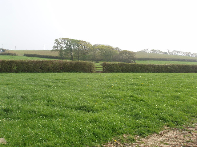
The picturesque village is surrounded by rolling hills and breathtaking landscapes, making it a popular destination for nature enthusiasts and hikers. Its close proximity to the coast also provides easy access to stunning sandy beaches and sparkling blue waters, attracting beachgoers and water sports enthusiasts throughout the year.

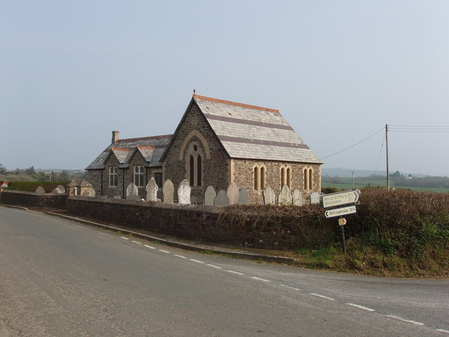
Budd's Titson is characterized by its charming traditional architecture, with many cottages and houses reflecting the area's rich history and heritage. The village is home to a handful of local amenities, including a small convenience store, a post office, and a local pub where visitors can unwind and enjoy a drink or a traditional Cornish meal.

The nearby area offers a range of activities and attractions, such as the historic St. Mawes Castle, which dates back to the 16th century and offers stunning views of the coastline. Additionally, the village is a short distance away from the popular tourist destinations of Truro and Falmouth, which provide further opportunities for shopping, dining, and cultural experiences.

Overall, Budd's Titson offers a tranquil and scenic retreat in the heart of Cornwall, with its natural beauty and friendly community making it a hidden gem for those seeking a peaceful coastal getaway.

If you have any feedback on the listing, please let us know in the comments section below.

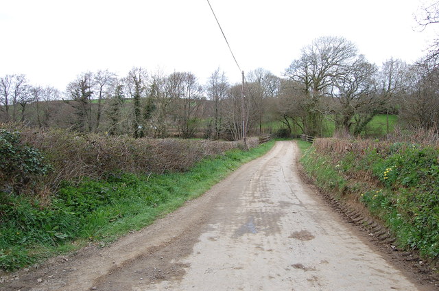
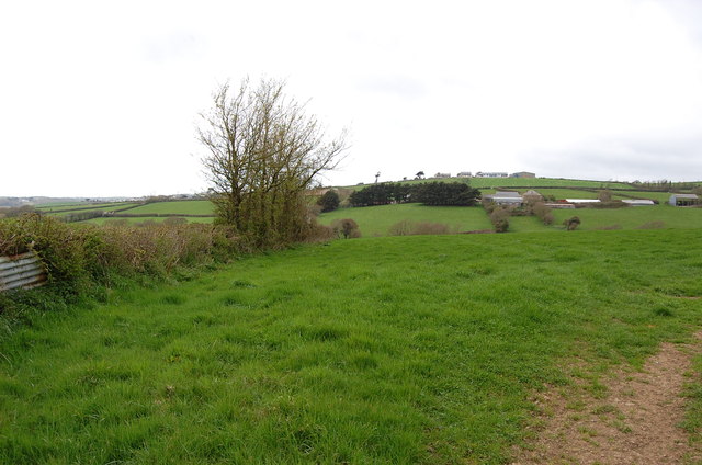
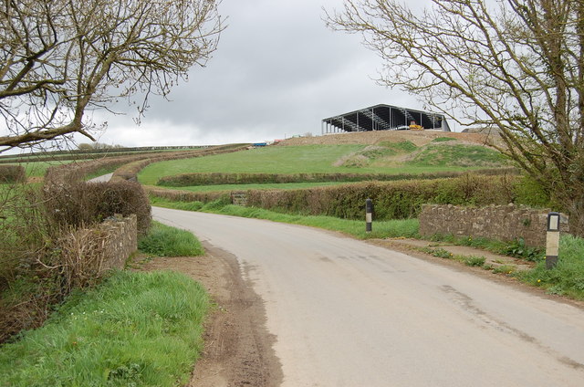
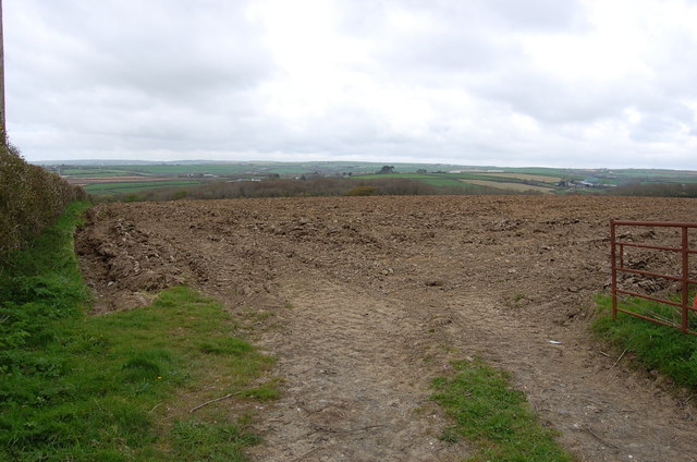
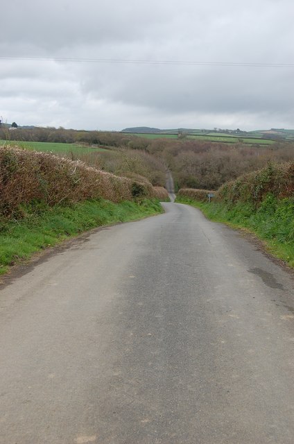
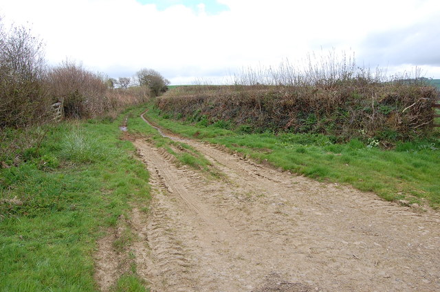
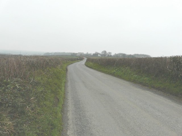
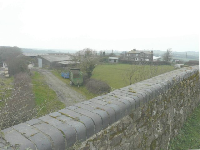
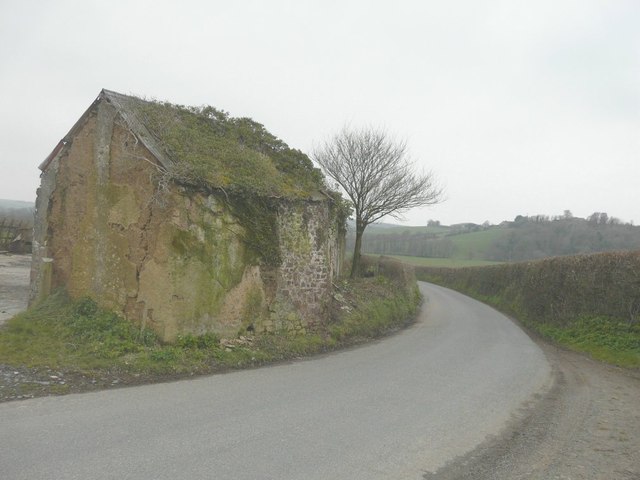
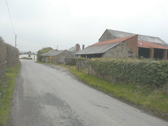
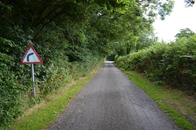
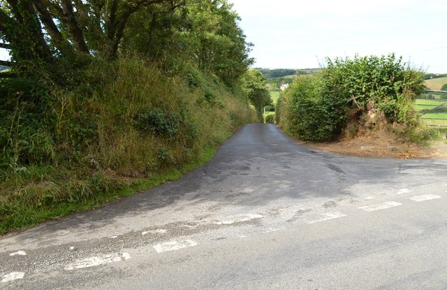
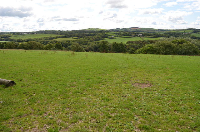
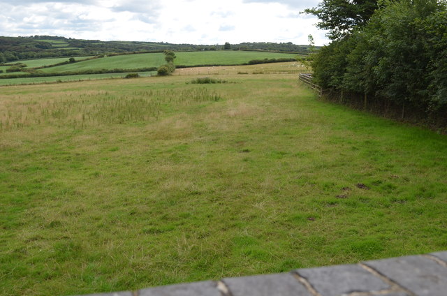
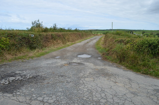
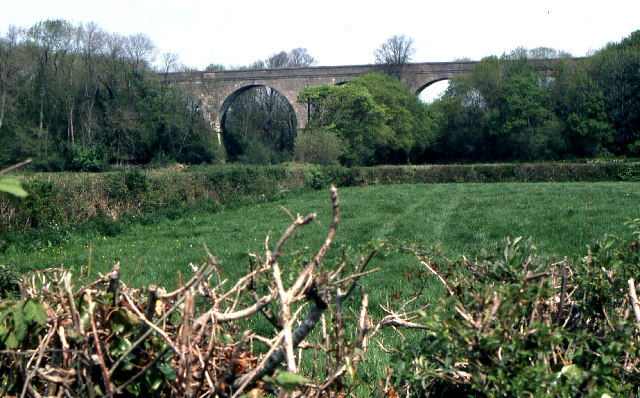
Budd's Titson Images

Images are sourced within 2km of 50.787709/-4.495716 or Grid Reference SS2401. Thanks to Geograph Open Source API. All images are credited.

Stewarts Road The road crosses a tributary of the River Neet here.
Stewarts Road
The road crosses a tributary of the River Neet here.
Farmland near Burn's Hill
Sharlands Road with a New Barn
Farmland at Langford Hill Trelay Copse just visible. A typical view in this part of Cornwall.
Farmland at Langford Hill
Trelay Copse just visible. A typical view in this part of Cornwall.
Lane near Budd's Titson
Farm Track near Bakesdown
A distant view of Titson Along the lane leading to the hamlet from the east, on a gloomy late March day.
A distant view of Titson
Along the lane leading to the hamlet from the east, on a gloomy late March day.
Trelay farm Seen from the bridge over the dismantled railway line that runs from Halwill Junction to Bude.
Trelay farm
Seen from the bridge over the dismantled railway line that runs from Halwill Junction to Bude.
Tumbledown barn Beside a lane between Box's Shop and Langford Barton.
Tumbledown barn
Beside a lane between Box's Shop and Langford Barton.
Titson Farm Beside the lane through the hamlet.
Titson Farm
Beside the lane through the hamlet.
Bend ahead There is a sharp bend in the lane near Burracott.
Bend ahead
There is a sharp bend in the lane near Burracott.
Lane junction at Week Orchard There are a lot of narrow, steep lanes in this area.
Lane junction at Week Orchard
There are a lot of narrow, steep lanes in this area.
Fields at Langford Hill
Track of old railway line Taken from a bridge at Titson, all trace of the line has been eliminated here.
Track of old railway line
Taken from a bridge at Titson, all trace of the line has been eliminated here.
Road to Great Beer Farm and  Public Footpath
Road to Great Beer Farm and Public Footpath
Former railway viaduct, near Trelay Viaduct on the Bude extension to this disused north Cornwall branch line
Former railway viaduct, near Trelay
Viaduct on the Bude extension to this disused north Cornwall branch line
Grass field The grass in this field is longer than grazed pasture, so it is probably being grown for silage or hay. View from road.
Grass field
The grass in this field is longer than grazed pasture, so it is probably being grown for silage or hay. View from road.
Former Methodist chapel, Titson This chapel has been converted to a dwelling house. A peculiarity of the site is that the churchyard surrounds the house on three sides, but is separate from it, and seems to be open to the public.
Former Methodist chapel, Titson
This chapel has been converted to a dwelling house. A peculiarity of the site is that the churchyard surrounds the house on three sides, but is separate from it, and seems to be open to the public.
Show me another place!

Budd's Titson is located at Grid Ref: SS2401 (Lat: 50.787709, Lng: -4.495716)

Unitary Authority: Cornwall

Police Authority: Devon and Cornwall

What 3 Words

///rugs.deployed.whiplash. Near Poundstock, Cornwall

Related Wikis

Titson

Titson or Budd's Titson is a hamlet in the parish of Marhamchurch, Cornwall, England, United Kingdom. == References == == External links == Media related...

Bakesdown

Bakesdown is a hamlet in northeast Cornwall, England, United Kingdom at grid reference SS 246 005. Bakesdown is 5 miles (8 kilometres) southeast of Bude...

Marhamchurch

Marhamchurch (Cornish: Eglosvarwenn) is a civil parish and village in north Cornwall, England, United Kingdom. Marhamchurch village is situated 1+1⁄2 miles...

Helscott

Helscott is a hamlet southwest of Marhamchurch in north Cornwall, England. It is on the A39 road and nearby to the east is East Helscott. According to...

Nearby Amenities

Located within 500m of 50.787709,-4.495716
Bus Stop
Titson Farm
Naptan AtcoCode: 0800COX38463
Naptan Bearing: W
Naptan CommonName: Titson Farm
Naptan NaptanCode: cordpwdg
Naptan Street: Unclassified
Naptan Verified: no
Source: naptan_import
Lat/Long: 50.787539/-4.4950482
Bus Stop
Titson Farm
Naptan AtcoCode: 0800COX38464
Naptan Bearing: E
Naptan CommonName: Titson Farm
Naptan Indicator: Opp
Naptan NaptanCode: cordpwda
Naptan Street: Unclassified
Naptan Verified: no
Source: naptan_import
Lat/Long: 50.787613/-4.4951066
Budd's Titson
Place: hamlet
Wikidata: Q7810238
Lat/Long: 50.7879185/-4.4948763
Telephone
Booth: K6
Covered: booth
Lat/Long: 50.7878502/-4.495687
Post Box
Mapillary: 911524873428348
Operator: Royal Mail
Operator Wikidata: Q638098
Post Box Mounting: stone_wall
Post Box Type: wall
Lat/Long: 50.7875833/-4.4955592
The data included in this document is from www.openstreetmap.org. The data is made available under ODbL.

Have you been to Budd's Titson?

Leave your review of Budd's Titson below (or comments, questions and feedback).