Ansdore
Settlement in Kent Canterbury
England
Ansdore

Ansdore is a quaint village located in the county of Kent, England. Situated in the Southeastern region of the country, it is nestled amidst picturesque countryside and offers a serene and idyllic setting. The village is part of the civil parish of St. Nicholas-at-Wade and is situated just a few miles away from the coastal towns of Margate and Ramsgate.
Ansdore boasts a rich history that dates back several centuries. The name "Ansdore" is believed to be derived from the Old English term "ansetl" meaning "hermitage" or "cell," suggesting that the village may have been the site of a religious dwelling in the past. Today, Ansdore retains its charming character with its traditional architecture and well-preserved historic buildings.
The village is home to a close-knit community, and its residents take pride in their beautiful surroundings. The rural landscape surrounding Ansdore offers an abundance of opportunities for outdoor activities such as walking, cycling, and nature exploration. The nearby Quex Park provides a vast expanse of parkland, woodlands, and gardens for residents and visitors to enjoy.
Despite its tranquil ambiance, Ansdore benefits from its proximity to larger towns and cities. The bustling seaside town of Margate is just a short drive away, offering a vibrant cultural scene, shopping, and entertainment options. Additionally, the city of Canterbury, with its famous cathedral and historical sites, is easily accessible from Ansdore.
Overall, Ansdore is a hidden gem in the Kent countryside, offering a peaceful retreat with easy access to both coastal delights and cultural attractions.
If you have any feedback on the listing, please let us know in the comments section below.
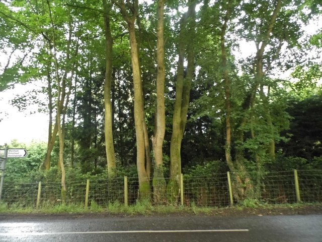
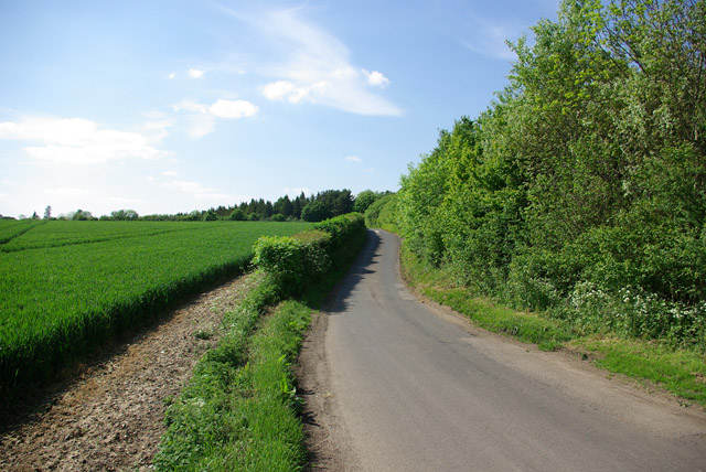
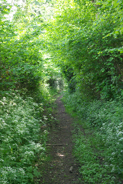
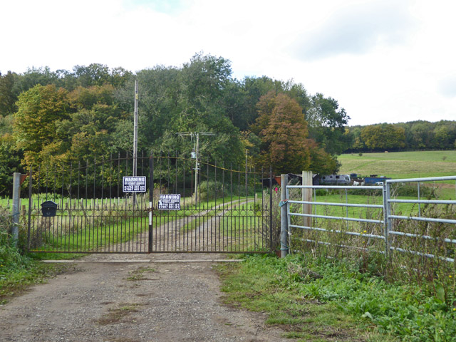
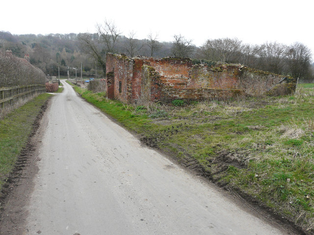
Ansdore Images
Images are sourced within 2km of 51.200824/1.035049 or Grid Reference TR1249. Thanks to Geograph Open Source API. All images are credited.


Ansdore is located at Grid Ref: TR1249 (Lat: 51.200824, Lng: 1.035049)
Administrative County: Kent
District: Canterbury
Police Authority: Kent
What 3 Words
///hamsters.fish.buck. Near Chartham, Kent
Nearby Locations
Related Wikis

Waltham, Kent
Waltham is a village and civil parish 7 miles (11 km) southwest of Canterbury in Kent, England. == History == The village was once associated with the...

Yockletts Bank
Yockletts Bank is a 25.4-hectare (63-acre) biological Site of Special Scientific Interest west of Stelling Minnis in Kent. It is managed by KWT and is...

Anvil Green
Anvil Green is a small settlement located near Waltham in Kent, England, about nine miles (14.4 km) north east of Ashford. == External links == Media...

Petham
Petham is a rural village and civil parish in the North Downs, five miles south of Canterbury in Kent, South East England. The village church is All Saints...

Bossingham
Bossingham is a large hamlet in the parish of Upper Hardres and the district of the City of Canterbury, Kent, England. It is located about five miles...

Stelling Minnis
Stelling Minnis is a village and civil parish in the Folkestone and Hythe district in Kent, England. The village lies 13 kilometres (8 mi) to the south...

Denge Wood
Denge Wood is a wood located 8 miles southwest of Canterbury in Kent, England. The wood is owned by the Forestry Commission and the Woodland Trust. Part...
Davison's Mill, Stelling Minnis
Davison's Mill, also known as Stelling Minnis Windmill, is a Grade I listed smock mill in Stelling Minnis, Kent, England that was built in 1866. It was...
Nearby Amenities
Located within 500m of 51.200824,1.035049Have you been to Ansdore?
Leave your review of Ansdore below (or comments, questions and feedback).