Yawlings Wood
Wood, Forest in Kent Canterbury
England
Yawlings Wood

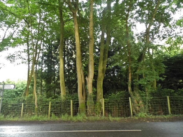
Yawlings Wood is a picturesque woodland located in the county of Kent, England. Covering an area of approximately 50 acres, it is a popular destination for nature enthusiasts and those seeking tranquility amidst nature. The wood is situated near the village of Yalding, nestled in the scenic Kent countryside.
The woodland is predominantly composed of broadleaf trees such as oak, beech, and hazel, which create a dense canopy overhead, providing shade and shelter for a diverse range of flora and fauna. The forest floor is carpeted with a variety of wildflowers, including bluebells and primroses, which bloom in vibrant colors during the spring season.
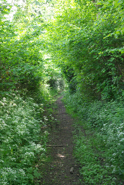
Yawlings Wood is crisscrossed by a network of well-maintained footpaths, allowing visitors to explore the area easily. These paths meander through the woodland, leading to secluded clearings and hidden ponds. The tranquil atmosphere and peaceful ambiance make it an ideal place for walking, jogging, or simply enjoying a leisurely stroll.
The wood is home to a variety of wildlife, including deer, badgers, and a wide array of bird species. It provides a vital habitat for these creatures and serves as an important ecological resource. Nature lovers can often spot woodpeckers, nuthatches, and other woodland birds flitting among the branches, while lucky visitors might catch a glimpse of a shy deer or a playful fox.
Overall, Yawlings Wood offers a serene and enchanting experience, combining natural beauty, biodiversity, and a sense of tranquility. It is a cherished destination for locals and visitors alike, providing an escape from the hustle and bustle of everyday life.
If you have any feedback on the listing, please let us know in the comments section below.
Yawlings Wood Images
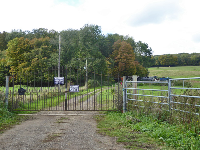
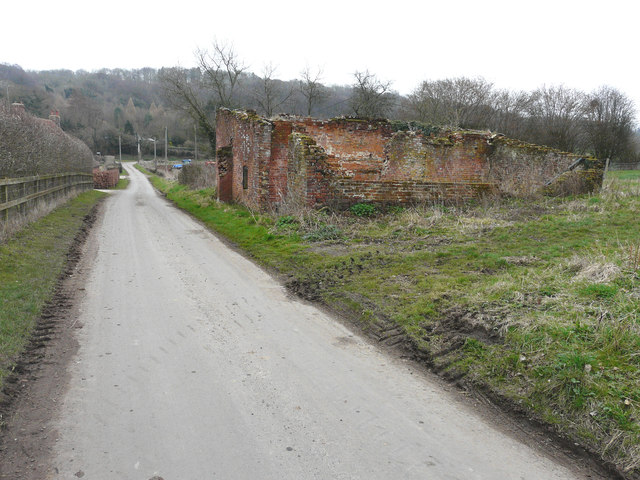
Images are sourced within 2km of 51.206169/1.0335821 or Grid Reference TR1249. Thanks to Geograph Open Source API. All images are credited.


Yawlings Wood is located at Grid Ref: TR1249 (Lat: 51.206169, Lng: 1.0335821)
Administrative County: Kent
District: Canterbury
Police Authority: Kent
What 3 Words
///runner.envoy.grower. Near Chartham, Kent
Nearby Locations
Related Wikis

Anvil Green
Anvil Green is a small settlement located near Waltham in Kent, England, about nine miles (14.4 km) north east of Ashford. == External links == Media...

Waltham, Kent
Waltham is a village and civil parish 7 miles (11 km) southwest of Canterbury in Kent, England. == History == The village was once associated with the...

Yockletts Bank
Yockletts Bank is a 25.4-hectare (63-acre) biological Site of Special Scientific Interest west of Stelling Minnis in Kent. It is managed by KWT and is...

Petham
Petham is a rural village and civil parish in the North Downs, five miles south of Canterbury in Kent, South East England. The village church is All Saints...

Denge Wood
Denge Wood is a wood located 8 miles southwest of Canterbury in Kent, England. The wood is owned by the Forestry Commission and the Woodland Trust. Part...

Bossingham
Bossingham is a large hamlet in the parish of Upper Hardres and the district of the City of Canterbury, Kent, England. It is located about five miles...

Upper Hardres
Upper Hardres is a village and civil parish in the City of Canterbury, in the district of Kent, England. The name of the Hardres family is perpetuated...

Stelling Minnis
Stelling Minnis is a village and civil parish in the Folkestone and Hythe district in Kent, England. The village lies 13 kilometres (8 mi) to the south...
Nearby Amenities
Located within 500m of 51.206169,1.0335821Have you been to Yawlings Wood?
Leave your review of Yawlings Wood below (or comments, questions and feedback).