Earley Wood
Wood, Forest in Kent Canterbury
England
Earley Wood

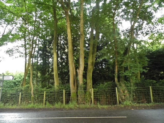
Earley Wood, located in Kent, England, is a charming woodland area renowned for its natural beauty and diverse ecosystem. Spread across approximately 100 hectares, this ancient woodland offers a tranquil escape from the hustle and bustle of everyday life.
The wood is predominantly composed of broadleaf trees such as oak, beech, and ash, creating a dense canopy that provides shade and shelter for countless species of wildlife. The forest floor is carpeted with a rich variety of flora, including bluebells, wood anemones, and wild garlic, which burst into a riot of colors during springtime.
Earley Wood is home to a range of wildlife, making it a paradise for nature enthusiasts and birdwatchers. Visitors may catch glimpses of rare species such as the lesser spotted woodpecker, nightjar, and tawny owl, as well as various butterflies and insects that thrive in this diverse habitat.
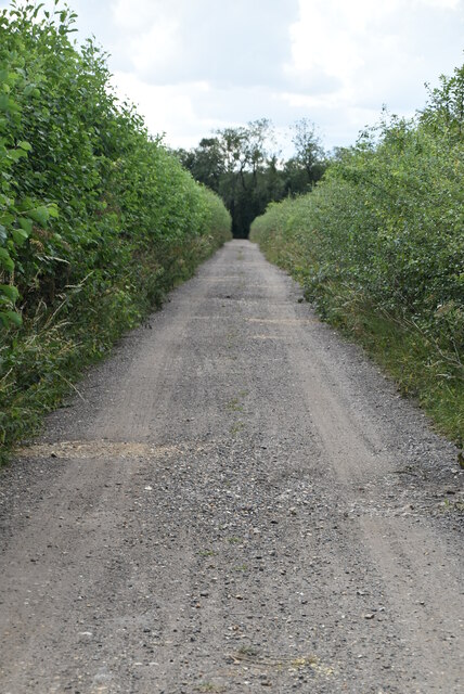
The wood offers several well-marked walking trails, allowing visitors to explore its beauty at their own pace. These trails wind through ancient groves, along babbling brooks, and up gentle slopes, offering breathtaking views of the surrounding countryside. The wood also boasts a picnic area, making it an ideal spot for a family outing or a peaceful lunch amidst nature.
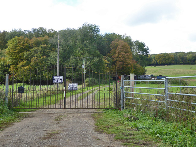
Managed by the local authorities, Earley Wood is carefully preserved to maintain its natural integrity and protect its inhabitants. Regular conservation efforts, including tree planting and maintenance, are undertaken to ensure the long-term sustainability of this precious woodland.
Overall, Earley Wood is a picturesque and ecologically diverse forest that offers a serene and immersive experience for nature lovers, hikers, and wildlife enthusiasts alike.
If you have any feedback on the listing, please let us know in the comments section below.
Earley Wood Images
Images are sourced within 2km of 51.212004/1.0340231 or Grid Reference TR1250. Thanks to Geograph Open Source API. All images are credited.


Earley Wood is located at Grid Ref: TR1250 (Lat: 51.212004, Lng: 1.0340231)
Administrative County: Kent
District: Canterbury
Police Authority: Kent
What 3 Words
///stiffly.hairspray.steams. Near Chartham, Kent
Nearby Locations
Related Wikis

Anvil Green
Anvil Green is a small settlement located near Waltham in Kent, England, about nine miles (14.4 km) north east of Ashford. == External links == Media...

Petham
Petham is a rural village and civil parish in the North Downs, five miles south of Canterbury in Kent, South East England. The village church is All Saints...

Waltham, Kent
Waltham is a village and civil parish 7 miles (11 km) southwest of Canterbury in Kent, England. == History == The village was once associated with the...

Denge Wood
Denge Wood is a wood located 8 miles southwest of Canterbury in Kent, England. The wood is owned by the Forestry Commission and the Woodland Trust. Part...

Yockletts Bank
Yockletts Bank is a 25.4-hectare (63-acre) biological Site of Special Scientific Interest west of Stelling Minnis in Kent. It is managed by KWT and is...

Upper Hardres
Upper Hardres is a village and civil parish in the City of Canterbury, in the district of Kent, England. The name of the Hardres family is perpetuated...

Bossingham
Bossingham is a large hamlet in the parish of Upper Hardres and the district of the City of Canterbury, Kent, England. It is located about five miles...

St Augustine's Hospital, Chartham
St Augustine's Hospital was a psychiatric hospital in Chartham, Kent, England. It was founded as the second, or East, Kent County Asylum in 1872. In 1948...
Nearby Amenities
Located within 500m of 51.212004,1.0340231Have you been to Earley Wood?
Leave your review of Earley Wood below (or comments, questions and feedback).