Brockhanger Wood
Wood, Forest in Kent Canterbury
England
Brockhanger Wood

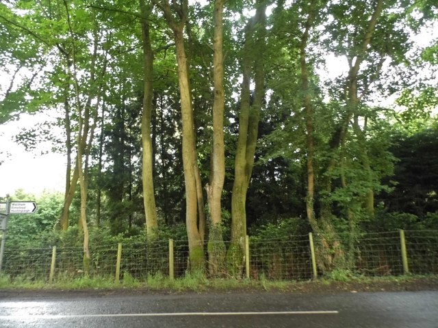
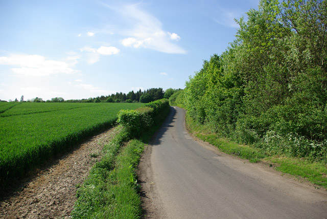
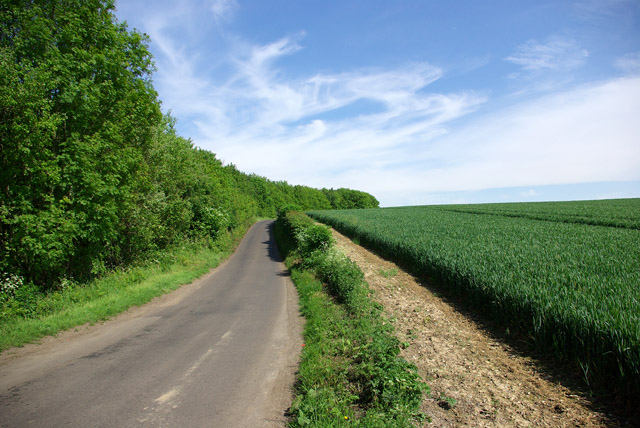
Brockhanger Wood is a picturesque woodland located in the county of Kent, England. Situated just outside the village of Brockhanger, this dense forest covers an area of approximately 100 acres. The wood is easily accessible by foot via a network of well-maintained footpaths and is a popular destination for nature enthusiasts and hikers alike.
The woodland is characterized by its diverse range of trees, including oak, beech, ash, and chestnut. These mature trees create a dense canopy, providing a habitat for a variety of wildlife species. Visitors to Brockhanger Wood may be lucky enough to spot animals such as deer, foxes, badgers, and a wide array of bird species.
The forest boasts a rich biodiversity, with a carpet of wildflowers and ferns adorning the forest floor during the spring and summer months. These vibrant displays of color attract butterflies and other pollinators, creating a buzz of activity throughout the woodland.
For those interested in history and archaeology, Brockhanger Wood also holds cultural significance. The remains of ancient earthworks and burial mounds can be found within the wood, offering insights into the area's past.
Brockhanger Wood is not only a haven for wildlife and history enthusiasts but also provides a tranquil and peaceful escape for those seeking solace in nature. With its enchanting beauty and abundance of natural wonders, this woodland is a must-visit destination for anyone exploring the Kent countryside.
If you have any feedback on the listing, please let us know in the comments section below.
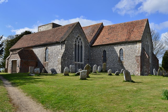
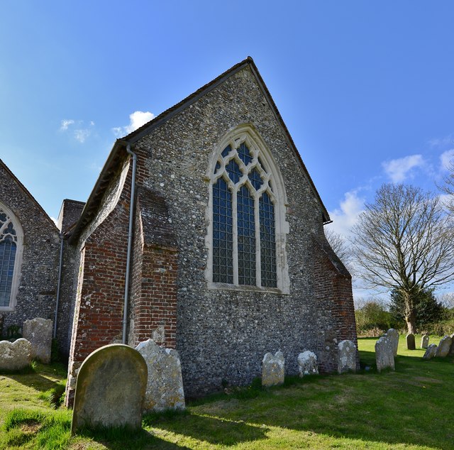
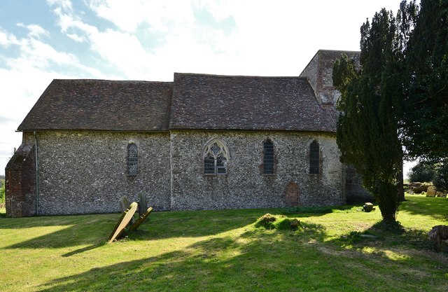
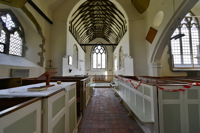
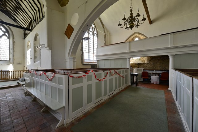
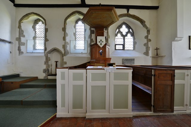
Brockhanger Wood Images
Images are sourced within 2km of 51.208967/1.0449496 or Grid Reference TR1249. Thanks to Geograph Open Source API. All images are credited.


Brockhanger Wood is located at Grid Ref: TR1249 (Lat: 51.208967, Lng: 1.0449496)
Administrative County: Kent
District: Canterbury
Police Authority: Kent
What 3 Words
///towers.extent.economics. Near Chartham, Kent
Nearby Locations
Related Wikis

Petham
Petham is a rural village and civil parish in the North Downs, five miles south of Canterbury in Kent, South East England. The village church is All Saints...

Anvil Green
Anvil Green is a small settlement located near Waltham in Kent, England, about nine miles (14.4 km) north east of Ashford. == External links == Media...

Waltham, Kent
Waltham is a village and civil parish 7 miles (11 km) southwest of Canterbury in Kent, England. == History == The village was once associated with the...

Yockletts Bank
Yockletts Bank is a 25.4-hectare (63-acre) biological Site of Special Scientific Interest west of Stelling Minnis in Kent. It is managed by KWT and is...

Bossingham
Bossingham is a large hamlet in the parish of Upper Hardres and the district of the City of Canterbury, Kent, England. It is located about five miles...

Upper Hardres
Upper Hardres is a village and civil parish in the City of Canterbury, in the district of Kent, England. The name of the Hardres family is perpetuated...

Denge Wood
Denge Wood is a wood located 8 miles southwest of Canterbury in Kent, England. The wood is owned by the Forestry Commission and the Woodland Trust. Part...

Stelling Minnis
Stelling Minnis is a village and civil parish in the Folkestone and Hythe district in Kent, England. The village lies 13 kilometres (8 mi) to the south...
Nearby Amenities
Located within 500m of 51.208967,1.0449496Have you been to Brockhanger Wood?
Leave your review of Brockhanger Wood below (or comments, questions and feedback).