Alder Carr
Wood, Forest in Norfolk North Norfolk
England
Alder Carr
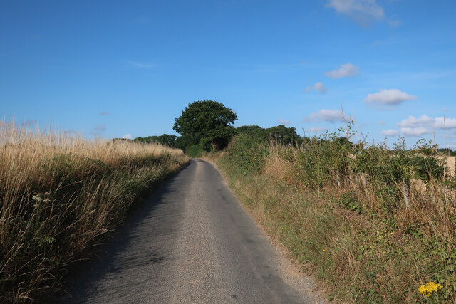
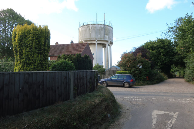
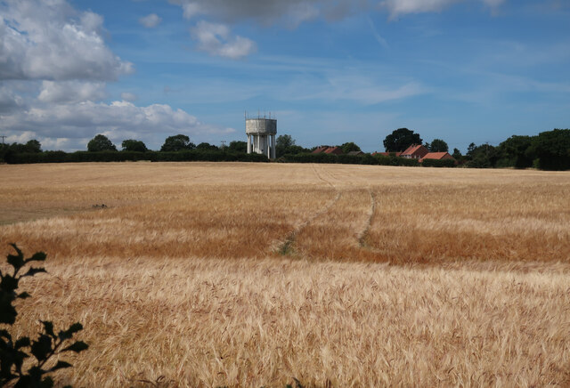
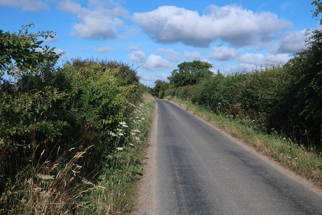
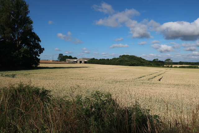
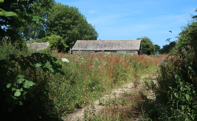
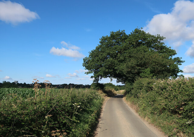
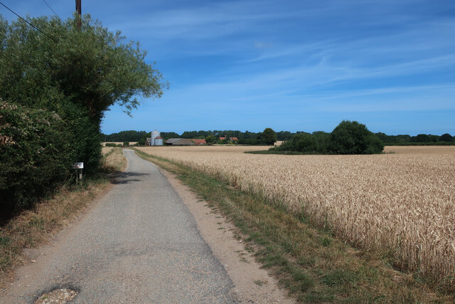
Alder Carr, Norfolk, also known as Alder Carr Wood or Alder Carr Forest, is a picturesque woodland area located in the eastern region of England. Spanning approximately 100 acres, this enchanting forest is situated in the county of Norfolk, renowned for its natural beauty and rural charm.
The woodland is primarily composed of alder trees, which thrive in the damp and marshy conditions prevalent in the area. These trees form a dense canopy, providing shelter and shade for a diverse range of flora and fauna. The forest floor is adorned with a variety of wildflowers, mosses, and ferns, creating a vibrant and lush undergrowth.
Alder Carr offers an ideal habitat for numerous species of wildlife. Visitors can expect to spot a plethora of birds, including woodpeckers, owls, and various songbirds. Additionally, the forest is home to small mammals such as rabbits, squirrels, and voles. The presence of a meandering stream further enhances the biodiversity of the area, attracting amphibians like frogs and newts.
This woodland paradise is a popular destination for nature lovers, hikers, and birdwatchers, offering a tranquil retreat from the hustle and bustle of everyday life. Alder Carr provides several well-maintained walking trails, allowing visitors to explore the forest and immerse themselves in its serene atmosphere. Wildlife enthusiasts can enjoy observing and photographing the diverse range of species that call this forest home.
Overall, Alder Carr, Norfolk is an idyllic woodland oasis, offering a captivating blend of natural beauty, wildlife, and recreational opportunities for all who venture into its enchanting embrace.
If you have any feedback on the listing, please let us know in the comments section below.
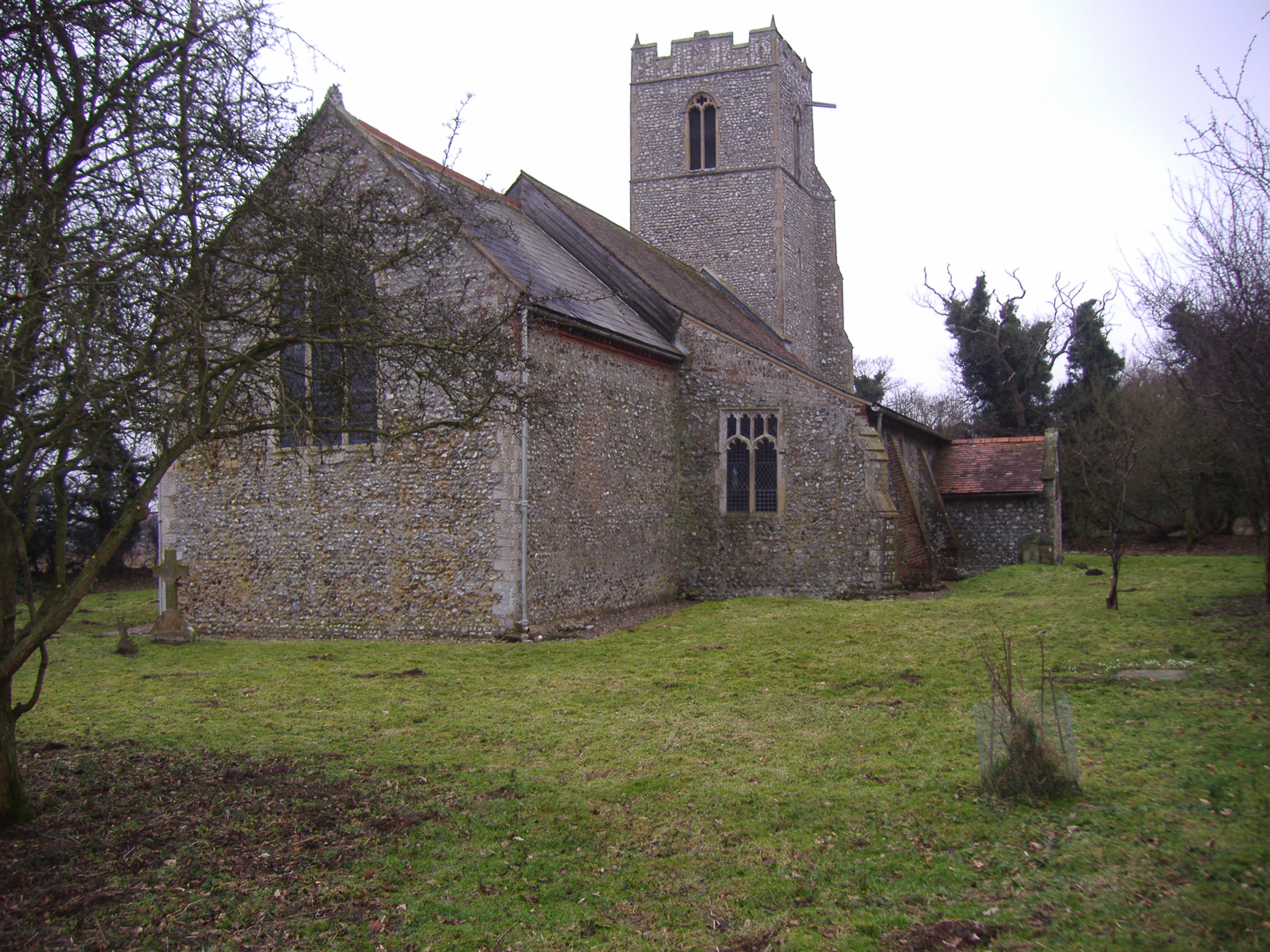
Alder Carr Images
Images are sourced within 2km of 52.898221/1.1621216 or Grid Reference TG1238. Thanks to Geograph Open Source API. All images are credited.
Alder Carr is located at Grid Ref: TG1238 (Lat: 52.898221, Lng: 1.1621216)
Administrative County: Norfolk
District: North Norfolk
Police Authority: Norfolk
What 3 Words
///assembles.processor.scores. Near Sheringham, Norfolk
Nearby Locations
Related Wikis
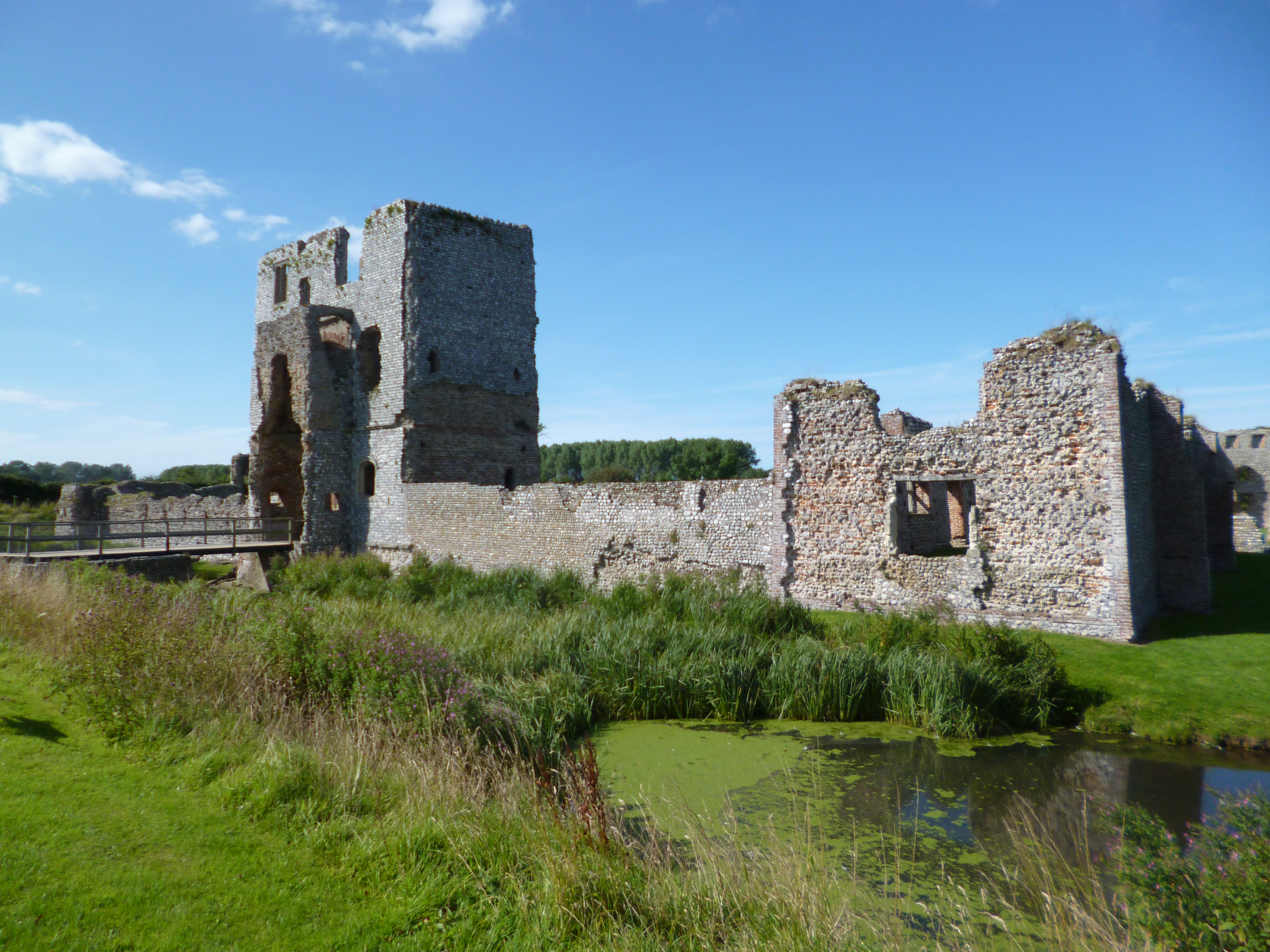
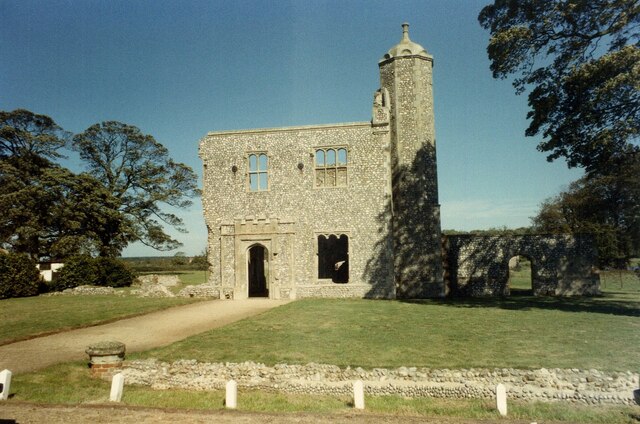
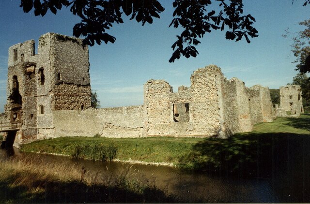
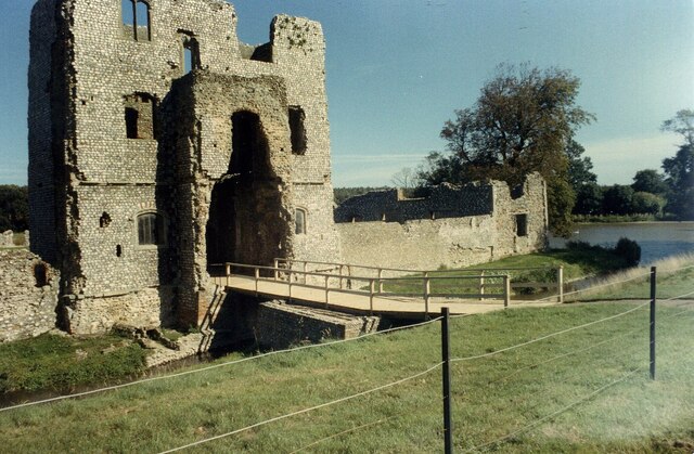
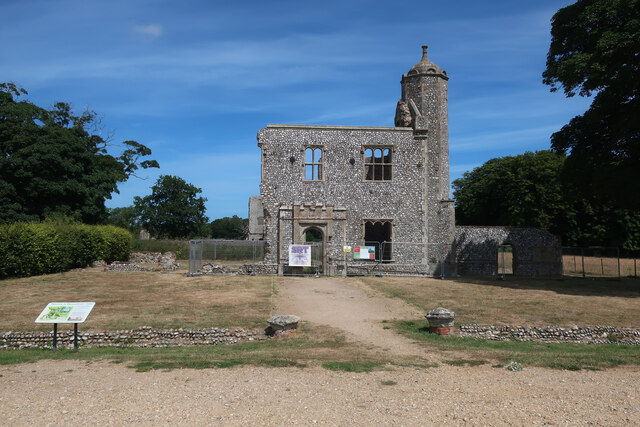
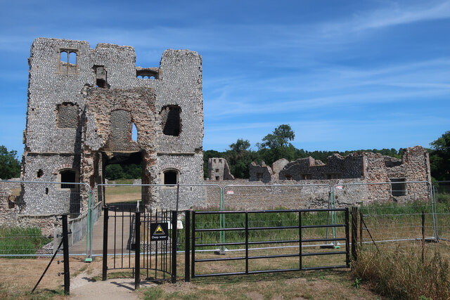
Baconsthorpe Castle
Baconsthorpe Castle, historically known as Baconsthorpe Hall, is a ruined, fortified manor house near the village of Baconsthorpe, Norfolk, England. It...

North Norfolk (UK Parliament constituency)
North Norfolk is a constituency represented in the House of Commons of the UK Parliament since 2019 by Duncan Baker, a Conservative. == Constituency... ==
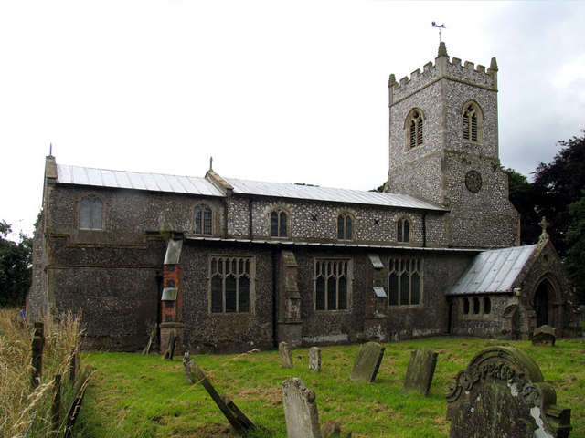
Baconsthorpe
Baconsthorpe is a village and civil parish in the North Norfolk district of the English county of Norfolk. It is 4 miles (6.4 km) south-east of Holt, 5...

West Beckham
West Beckham is a village and a civil parish in the English county of Norfolk The village is 6.1 miles (9.8 km) west south west of Cromer, 25.3 miles...

RAF West Beckham
Royal Air Force Station West Beckham, commonly known as RAF West Beckham, is a former Chain Home radar station controlled by the Royal Air Force (RAF)...

Bodham
Bodham is a civil parish in the English county of Norfolk. The village is 27.2 miles north north west of Norwich, 6.4 miles west of Cromer and 131 miles...
North Barningham
North Barningham is a hamlet within the civil parish of Gresham in the English county of Norfolk. The hamlet is 7 miles (11 km) south-west of Cromer, 23...

Hempstead, near Holt, Norfolk
There is also a village called Hempstead near Stalham, also in North Norfolk.Hempstead is a village and civil parish in the north of the English county...
Nearby Amenities
Located within 500m of 52.898221,1.1621216Have you been to Alder Carr?
Leave your review of Alder Carr below (or comments, questions and feedback).