Baconsthorpe Wood
Wood, Forest in Norfolk North Norfolk
England
Baconsthorpe Wood
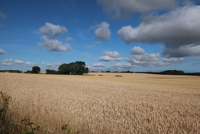
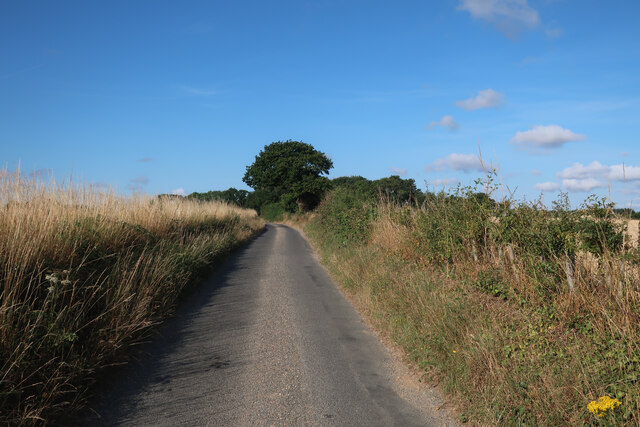
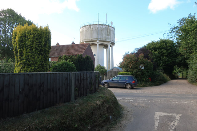
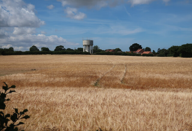
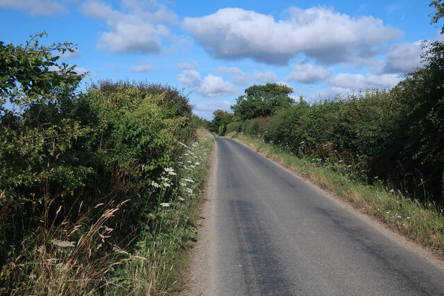
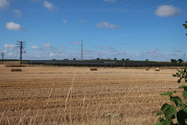
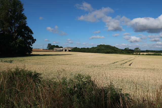
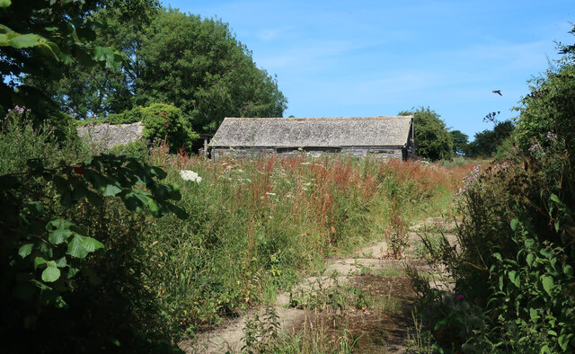
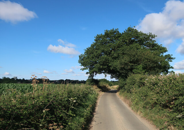
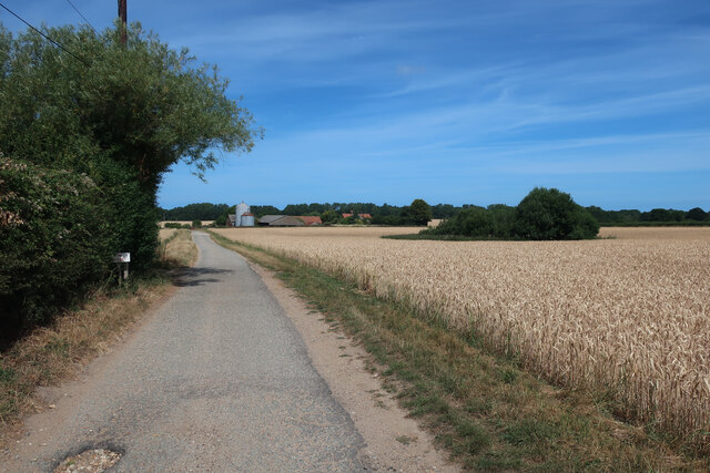
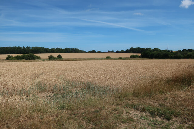
Baconsthorpe Wood, situated in Norfolk, is a beautiful and serene forest that spans across a vast area. The wood is known for its dense and diverse collection of trees, making it a haven for nature enthusiasts and wildlife alike. Abundant in both deciduous and coniferous trees, Baconsthorpe Wood offers visitors a captivating display of colors throughout the seasons.
The wood is home to a variety of flora and fauna, with species such as oak, beech, silver birch, and Scots pine dominating the landscape. This diverse range of trees provides shelter and sustenance for a wide array of wildlife including deer, badgers, squirrels, and a plethora of bird species.
Visitors to Baconsthorpe Wood can explore the many walking trails that wind through the forest, allowing them to fully immerse themselves in the tranquil atmosphere. The wood is also a popular spot for picnics and nature photography, with countless opportunities to capture the beauty of the surroundings.
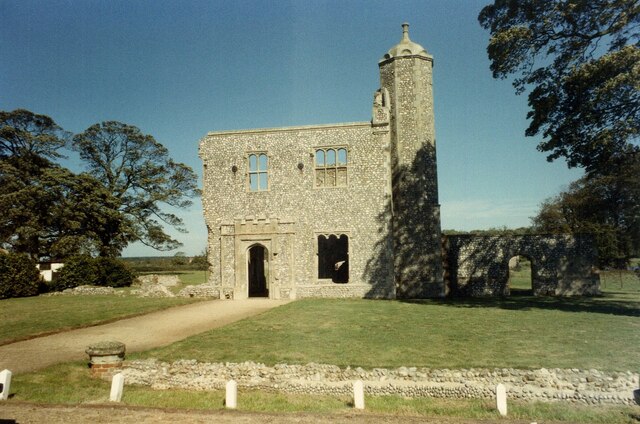
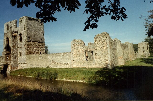
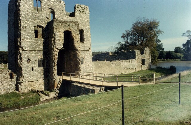
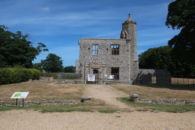
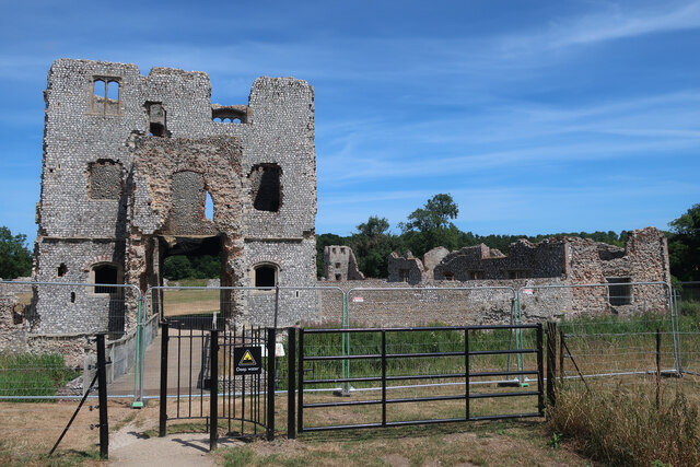
The wood has a rich history, with evidence of human activity dating back centuries. Ruins of Baconsthorpe Castle, a medieval fortified manor house, can be found within the wood's boundaries. These ruins add an element of intrigue and historical significance to the already captivating natural landscape.
Overall, Baconsthorpe Wood is a must-visit destination for nature lovers and history enthusiasts. Its stunning collection of trees, diverse wildlife, and historical ruins make it a truly unique and enchanting place to explore.
If you have any feedback on the listing, please let us know in the comments section below.
Baconsthorpe Wood Images
Images are sourced within 2km of 52.901691/1.1584629 or Grid Reference TG1238. Thanks to Geograph Open Source API. All images are credited.
Baconsthorpe Wood is located at Grid Ref: TG1238 (Lat: 52.901691, Lng: 1.1584629)
Administrative County: Norfolk
District: North Norfolk
Police Authority: Norfolk
What 3 Words
///montage.pesky.thudded. Near Sheringham, Norfolk
Nearby Locations
Related Wikis
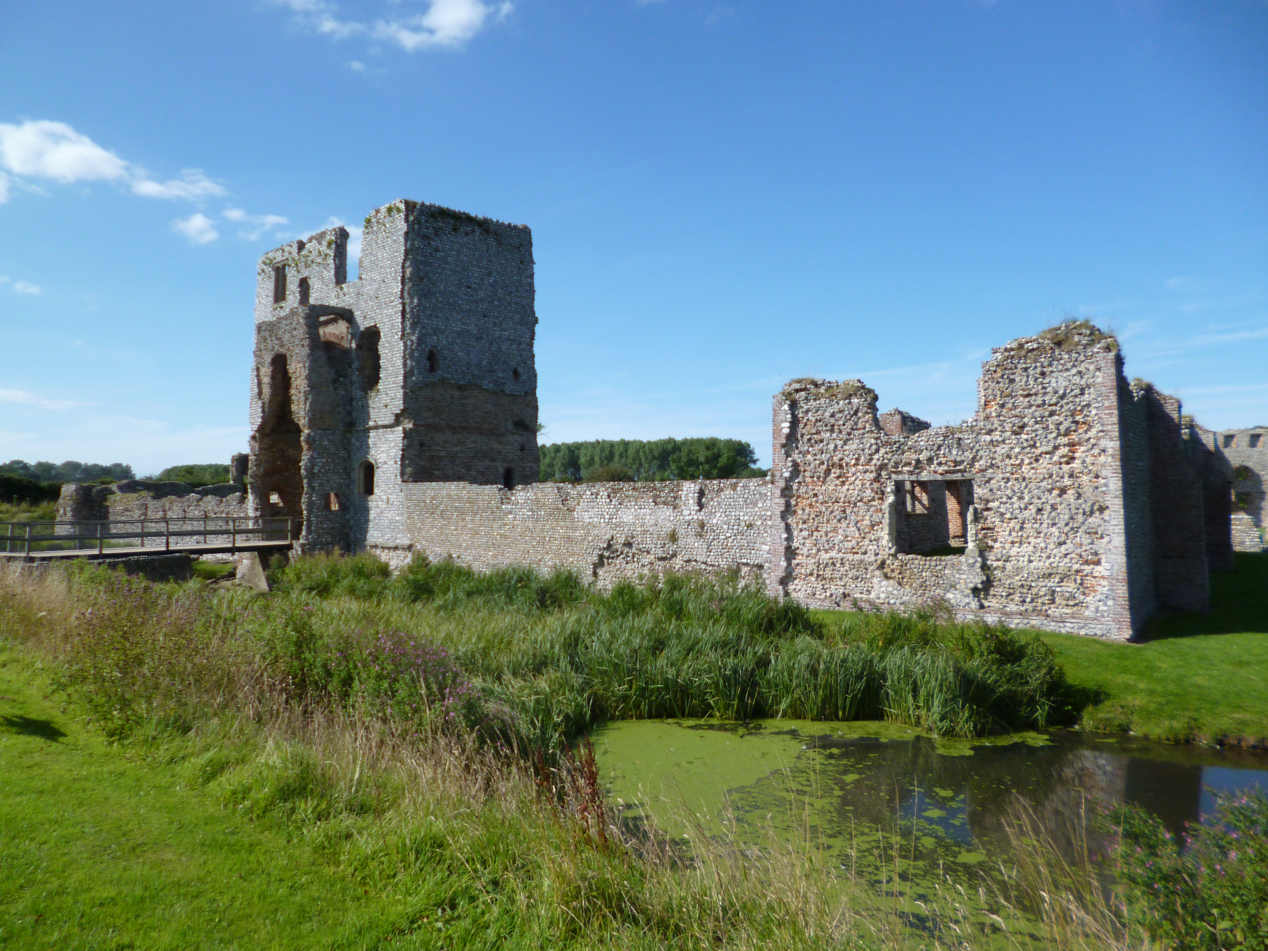
Baconsthorpe Castle
Baconsthorpe Castle, historically known as Baconsthorpe Hall, is a ruined, fortified manor house near the village of Baconsthorpe, Norfolk, England. It...

West Beckham
West Beckham is a village and a civil parish in the English county of Norfolk The village is 6.1 miles (9.8 km) west south west of Cromer, 25.3 miles...
Baconsthorpe
Baconsthorpe is a village and civil parish in the North Norfolk district of the English county of Norfolk. It is 4 miles (6.4 km) south-east of Holt, 5...

North Norfolk (UK Parliament constituency)
North Norfolk is a constituency represented in the House of Commons of the UK Parliament since 2019 by Duncan Baker, a Conservative. == Constituency... ==

RAF West Beckham
Royal Air Force Station West Beckham, commonly known as RAF West Beckham, is a former Chain Home radar station controlled by the Royal Air Force (RAF)...

Bodham
Bodham is a civil parish in the English county of Norfolk. The village is 27.2 miles north north west of Norwich, 6.4 miles west of Cromer and 131 miles...

Hempstead, near Holt, Norfolk
There is also a village called Hempstead near Stalham, also in North Norfolk.Hempstead is a village and civil parish in the north of the English county...
High Kelling
High Kelling is a village and civil parish in the north of the English county of Norfolk. The village is located on the A148 road which links Cromer to...
Nearby Amenities
Located within 500m of 52.901691,1.1584629Have you been to Baconsthorpe Wood?
Leave your review of Baconsthorpe Wood below (or comments, questions and feedback).