Dene Meadows
Downs, Moorland in Kent Canterbury
England
Dene Meadows

Dene Meadows, located in Kent, England, is a picturesque area that encompasses both downs and moorland landscapes. Spanning over a considerable area, it offers a diverse range of natural features and habitats that attract visitors from near and far.
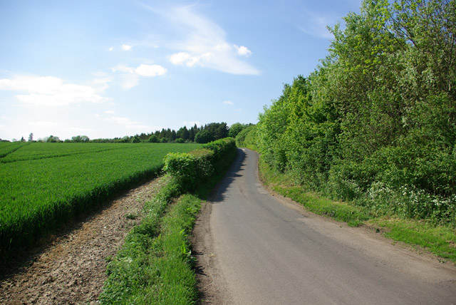
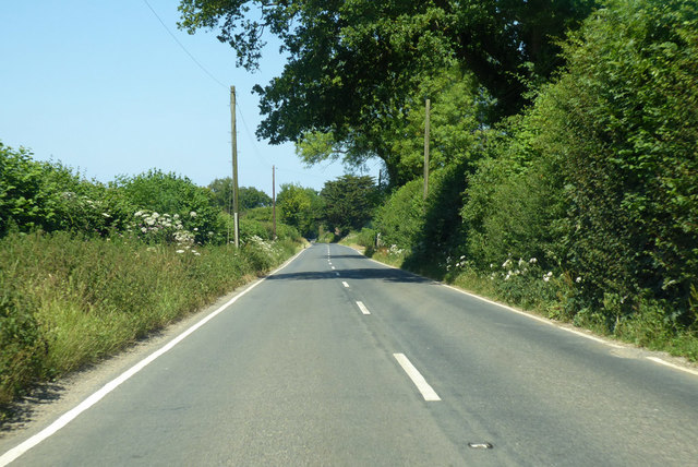
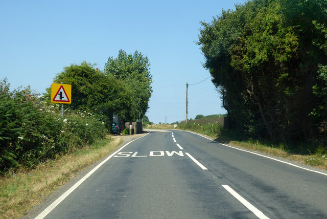
The downs of Dene Meadows present rolling hills and wide open spaces, covered in lush grasses and dotted with wildflowers during the warmer seasons. These hills offer breathtaking views of the surrounding countryside, with their gentle slopes making them accessible for hikers and nature enthusiasts.
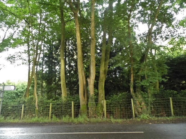
In contrast, the moorland within Dene Meadows provides a unique and captivating environment. Consisting of heathland and peat bogs, this area is characterized by its distinctive vegetation, including heather, gorse, and various types of mosses. The moorland is also home to a variety of wildlife, such as birds of prey, reptiles, and small mammals, making it a popular destination for birdwatching and animal spotting.
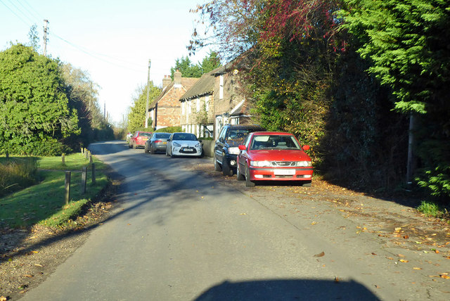
Dene Meadows benefits from well-maintained footpaths and trails, allowing visitors to explore the area at their own pace. The site is equipped with informative signage and interpretation boards, providing insights into the flora, fauna, and geological features found within the meadows.
Moreover, Dene Meadows is committed to conservation and preservation, with ongoing efforts to protect and enhance the diverse ecosystems that exist within its boundaries. It is also a designated Site of Special Scientific Interest (SSSI) due to its ecological significance.
Overall, Dene Meadows offers a tranquil and captivating experience for nature lovers, providing an opportunity to immerse oneself in the beauty and biodiversity of the downs and moorland landscapes of Kent.
If you have any feedback on the listing, please let us know in the comments section below.
Dene Meadows Images
Images are sourced within 2km of 51.207961/1.0362774 or Grid Reference TR1249. Thanks to Geograph Open Source API. All images are credited.


Dene Meadows is located at Grid Ref: TR1249 (Lat: 51.207961, Lng: 1.0362774)
Administrative County: Kent
District: Canterbury
Police Authority: Kent
What 3 Words
///buggy.witty.rear. Near Chartham, Kent
Nearby Locations
Related Wikis

Anvil Green
Anvil Green is a small settlement located near Waltham in Kent, England, about nine miles (14.4 km) north east of Ashford. == External links == Media...

Waltham, Kent
Waltham is a village and civil parish 7 miles (11 km) southwest of Canterbury in Kent, England. == History == The village was once associated with the...

Petham
Petham is a rural village and civil parish in the North Downs, five miles south of Canterbury in Kent, South East England. The village church is All Saints...

Yockletts Bank
Yockletts Bank is a 25.4-hectare (63-acre) biological Site of Special Scientific Interest west of Stelling Minnis in Kent. It is managed by KWT and is...

Denge Wood
Denge Wood is a wood located 8 miles southwest of Canterbury in Kent, England. The wood is owned by the Forestry Commission and the Woodland Trust. Part...

Bossingham
Bossingham is a large hamlet in the parish of Upper Hardres and the district of the City of Canterbury, Kent, England. It is located about five miles...

Upper Hardres
Upper Hardres is a village and civil parish in the City of Canterbury, in the district of Kent, England. The name of the Hardres family is perpetuated...

Stelling Minnis
Stelling Minnis is a village and civil parish in the Folkestone and Hythe district in Kent, England. The village lies 13 kilometres (8 mi) to the south...
Nearby Amenities
Located within 500m of 51.207961,1.0362774Have you been to Dene Meadows?
Leave your review of Dene Meadows below (or comments, questions and feedback).