The Island

Downs, Moorland in Suffolk Babergh

England

The Island

Bus shelter, village sign and information, Tattingstone
Bus shelter, village sign and information, Tattingstone Credit: Robin Webster

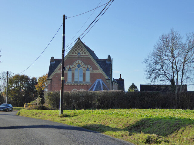
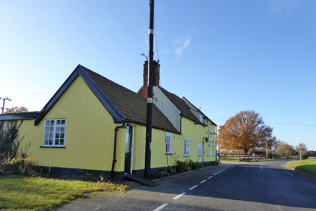
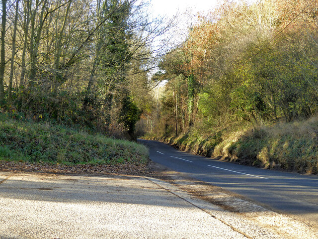
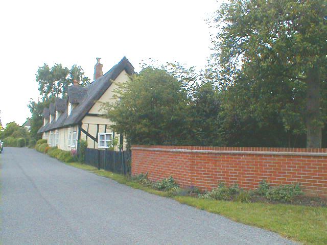
The Island, Suffolk is a unique and picturesque area located in the eastern part of England. Spanning across vast expanses of downs and moorland, it is known for its natural beauty and diverse ecosystem. The Island is situated on the Suffolk coast, bordered by the North Sea to the east.

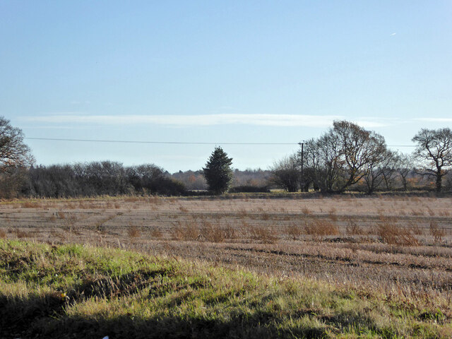
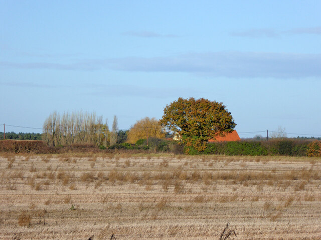
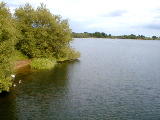
The downs of The Island are characterized by rolling hills and grasslands, providing a stunning backdrop for visitors and locals alike. These downs are home to a variety of flora and fauna, including wildflowers, rabbits, and birds such as skylarks and kestrels. The moorland, on the other hand, offers a more rugged and untamed landscape, with heather-covered hills and marshy areas.

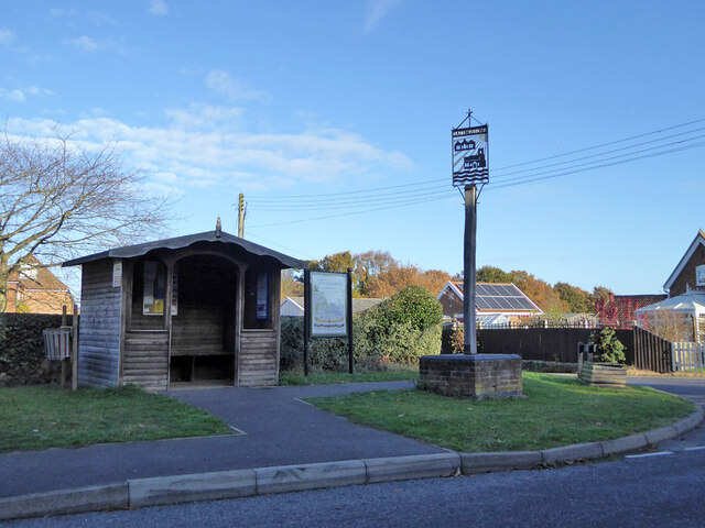
The Island is a popular destination for outdoor enthusiasts and nature lovers. It offers a range of activities, such as hiking, birdwatching, and even horseback riding. The area is crisscrossed with walking trails and paths, allowing visitors to explore its beauty at their own pace.

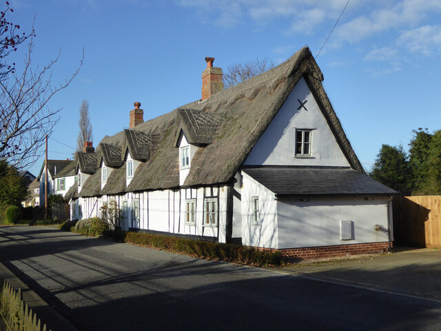
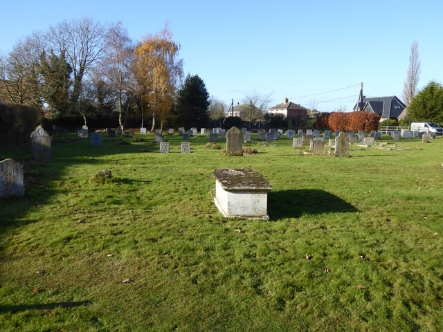
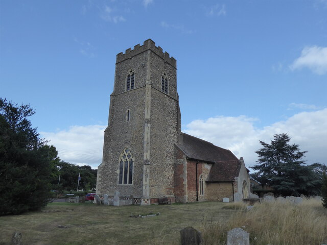
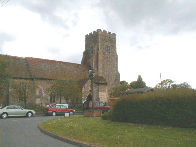
In addition to its natural attractions, The Island also boasts some historical landmarks. One notable feature is the remains of an ancient monastery, which dates back to the medieval period. The ruins provide a glimpse into the region's rich history and offer a sense of tranquility amidst the stunning landscape.

Overall, The Island, Suffolk is a place of exceptional natural beauty and historical significance. Whether you're seeking a peaceful retreat or an adventurous outdoor experience, this area has something to offer for everyone.

If you have any feedback on the listing, please let us know in the comments section below.
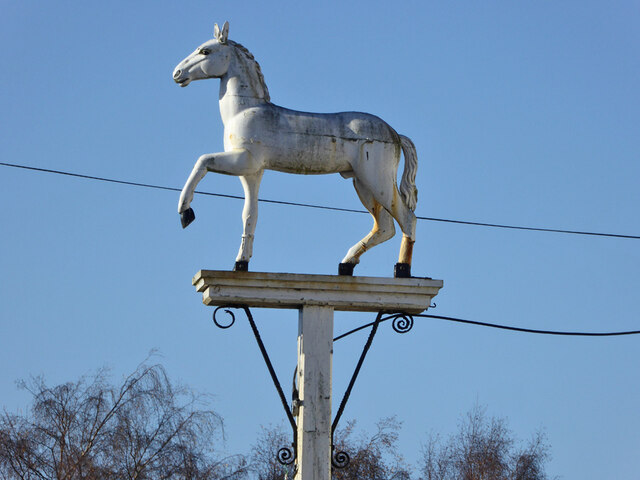
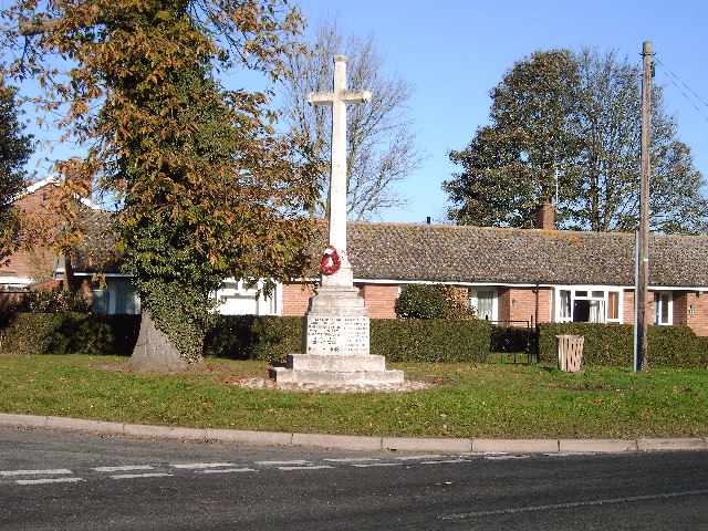
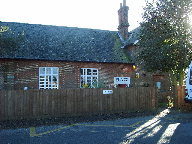
The Island Images

Images are sourced within 2km of 52.001362/1.0902913 or Grid Reference TM1238. Thanks to Geograph Open Source API. All images are credited.

Bus shelter, village sign and information, Tattingstone
Cottages, Church Road, Tattingstone A grade II listed building, 17th century.
Cottages, Church Road, Tattingstone
A grade II listed building, 17th century.
Weathervane, Tattingstone church The church is much older than 1813, although the 'tower has been much restored and repaired'.
Weathervane, Tattingstone church
The church is much older than 1813, although the 'tower has been much restored and repaired'.
Graveyard, Tattingstone
Former Methodist chapel, Tattingstone Now residential.
Former Methodist chapel, Tattingstone
Now residential.
The Wheatsheaf,  Church Road, Tattingstone
The Wheatsheaf, Church Road, Tattingstone
Station Road towards Bentley
Tattingstone White Horse bus stop Complete with all the usual village add-ons.
Tattingstone White Horse bus stop
Complete with all the usual village add-ons.
Inn sign, White Horse, Tattingstone White Horse
Field south and west of Coxhall Road Looking across the angle as the road bends round the field.
Field south and west of Coxhall Road
Looking across the angle as the road bends round the field.
Field south and west of Coxhall Road
Tattingstone, St Mary the Virgin
Tattingstone Church It's in a lovely village, 6 miles from Ipswich.
Tattingstone Church
It's in a lovely village, 6 miles from Ipswich.
Row of thatched cottages in Tattingstone
Alton Reservoir View from Lemon Hill.
Alton Reservoir
View from Lemon Hill.
The Case is Altered, Public House, Bentley,  Suffolk When the post office in Bentley closed, a Post Office was opened here.
The Case is Altered, Public House, Bentley, Suffolk
When the post office in Bentley closed, a Post Office was opened here.
War Memorial at Bentley Suffolk Recently attended by pupils of the local Primary School Bentley.
War Memorial at Bentley Suffolk
Recently attended by pupils of the local Primary School Bentley.
Primary School Bentley Suffolk.
Show me another place!

The Island is located at Grid Ref: TM1238 (Lat: 52.001362, Lng: 1.0902913)

Administrative County: Suffolk

District: Babergh

Police Authority: Suffolk

What 3 Words

///regretted.fidget.nibbled. Near Capel St Mary, Suffolk

Related Wikis

Bentley Church railway station

Bentley Church railway station was located in Suffolk, the village of Bentley. It was situated between the stations of Hadleigh and Manningtree, 1+1⁄4...

Blackbourn Hundred

Blackbourn was a hundred of Suffolk, consisting of 66,272 acres (26,819 ha). Blackbourn hundred was situated in the north-west of Suffolk. Its northern...

Samford Hundred

Samford was a hundred of Suffolk, consisting of 44,940 acres (181.9 km2). It was situated to the south and south west of Ipswich. The hundred was bounded...

Bentley railway station (Suffolk)

Bentley railway station, also known as Bentley Junction between 1849 and 1878, was located in Bentley, Suffolk on the Great Eastern Main Line. It opened...

Nearby Amenities

Located within 500m of 52.001362,1.0902913
Crossing: uncontrolled
Crossing Barrier: no
Crossing Bell: yes
Foot: yes
Railway: crossing
Lat/Long: 52.0019853/1.091562
Barrier: stile
Stile: stepover
Lat/Long: 52.0043169/1.085374
Power: tower
Lat/Long: 52.0024815/1.0924893
Bentley Church Junction
Historic Railway: junction
Railway: site
Lat/Long: 52.0020501/1.0880858
Bentley Junction
Railway: site
Lat/Long: 51.9985053/1.0909412
Bus Stop
Church
Local Ref: adj
Naptan AtcoCode: 390010547
Naptan Bearing: N
Naptan CommonName: Church
Naptan Landmark: Church
Naptan NaptanCode: sufagpda
Naptan Street: Church Road
Naptan Verified: no
Source: naptan_import
Lat/Long: 52.0010205/1.085471
Church
Local Ref: opp
Naptan AtcoCode: 390010548
Naptan Bearing: SW
Naptan BusStopType: CUS
Naptan CommonName: Church
Naptan Landmark: Church
Naptan NaptanCode: sufagpdg
Naptan Street: Church Road
Naptan Verified: no
Source: naptan_import
Lat/Long: 52.0009643/1.0855546
Power: tower
Lat/Long: 52.0052849/1.0931316
Power: pole
Lat/Long: 52.0020064/1.0918614
Power: pole
Lat/Long: 52.0008379/1.0970823
Power: pole
Lat/Long: 52.00311/1.0895614
Power: pole
Lat/Long: 52.0047414/1.087952
Power: pole
Lat/Long: 52.0011417/1.0956231
Power: pole
Lat/Long: 52.001396/1.0943947
Power: pole
Lat/Long: 52.0022745/1.0903338
Power: tower
Lat/Long: 51.9994722/1.0917985
Power: pole
Lat/Long: 52.0040016/1.0886387
Power: pole
Lat/Long: 52.0040924/1.0916095
Power: pole
Lat/Long: 52.0029762/1.0915518
Power: pole
Lat/Long: 52.00205/1.0913082
Power: pole
Lat/Long: 52.0051904/1.092378
Crossing: uncontrolled
Crossing Barrier: no
Crossing Bell: yes
Foot: yes
Railway: crossing
Lat/Long: 52.001976/1.091646
Bentley Church
Historic Railway: station
Railway: site
Source: WP article
Wikidata: Q4890461
Wikipedia: en:Bentley Church railway station
Lat/Long: 52.0039081/1.0922499
Power: pole
Lat/Long: 52.001661/1.0931206
Post Box
Operator: Royal Mail
Operator Type: private
Operator Wikidata: Q638098
Post Box Mounting: pier
Post Box Type: lamp
Ref: IP9 1033
Royal Cypher: EIIR
Royal Cypher Wikidata: Q33102113
Lat/Long: 52.003899/1.088419
Bentley Bridge Junction
Historic Railway: junction
Railway: site
Lat/Long: 52.0033201/1.0919403
Bentley Church Crossing
Historic Railway: level_crossing
Lat/Long: 52.0025833/1.0860998
Barrier: stile
Foot: yes
Material: metal
Step Count: 2
Stile: stepover
Lat/Long: 52.0019683/1.091726
Barrier: stile
Foot: yes
Material: wood
Step Count: 2
Stile: stepover
Lat/Long: 52.0019923/1.0914462
The data included in this document is from www.openstreetmap.org. The data is made available under ODbL.

Have you been to The Island?

Leave your review of The Island below (or comments, questions and feedback).