Mungon's Grove
Wood, Forest in Suffolk Babergh
England
Mungon's Grove
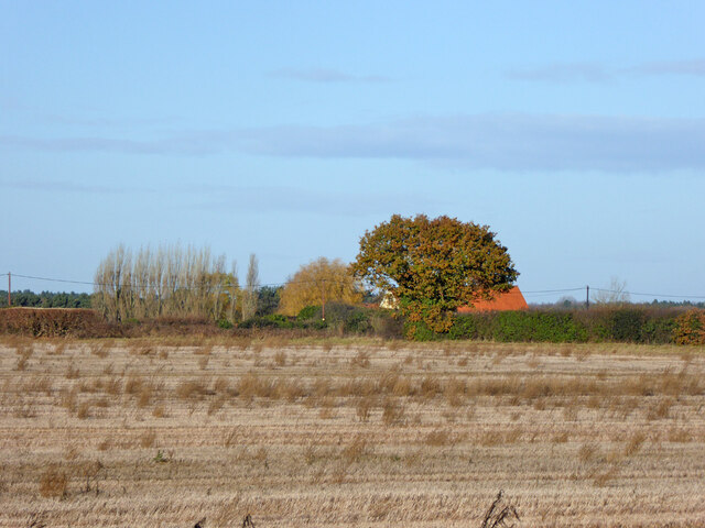
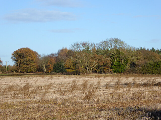
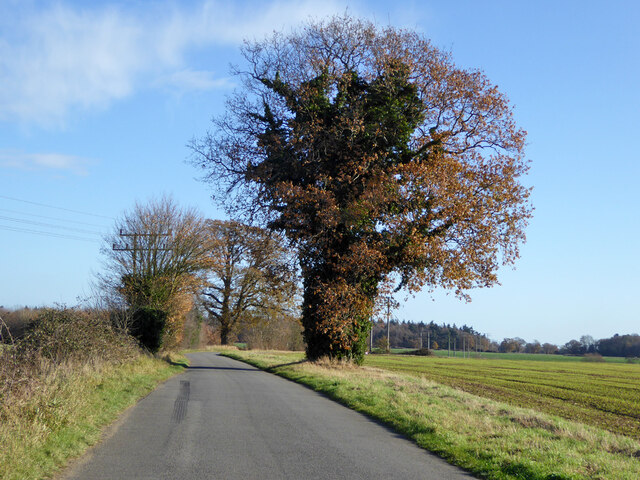
Mungon's Grove is a picturesque woodland area located in the county of Suffolk, England. Situated just outside the village of Mungon, it covers an area of approximately 500 acres and is renowned for its natural beauty and diverse flora and fauna.
The grove is predominantly made up of ancient woodland, characterized by its mature trees, including oak, beech, and ash. These majestic trees provide a vibrant canopy, casting dappled sunlight onto the forest floor below. The ground is covered with a rich carpet of bluebells, wild garlic, and other woodland flowers, creating a captivating and fragrant display during the spring months.
The grove is crisscrossed with a network of well-maintained footpaths and trails, making it a popular destination for nature enthusiasts and walkers. These paths wind their way through the woodland, leading visitors to hidden ponds, babbling brooks, and breathtaking viewpoints. The tranquil atmosphere and abundance of wildlife make it an ideal spot for birdwatching, with species such as woodpeckers, owls, and warblers frequently spotted.
Mungon's Grove is also home to a variety of mammals, including deer, foxes, and badgers. The dense undergrowth and fallen logs offer a safe habitat for smaller creatures like hedgehogs, rabbits, and voles. The grove is a designated Site of Special Scientific Interest (SSSI), recognizing its importance for conservation and preservation of the local ecosystem.
In summary, Mungon's Grove is a stunning woodland area in Suffolk, offering visitors a peaceful retreat into nature. Its ancient trees, vibrant wildflowers, and diverse wildlife make it a must-visit destination for nature lovers and those seeking a tranquil escape.
If you have any feedback on the listing, please let us know in the comments section below.
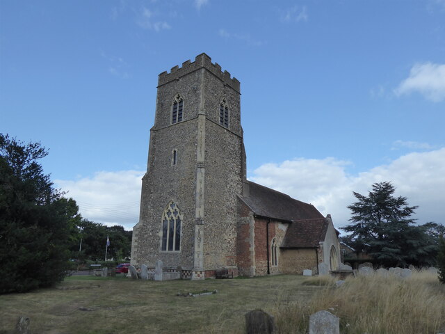
Mungon's Grove Images
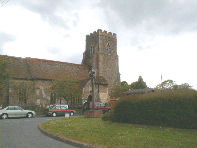
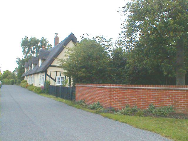
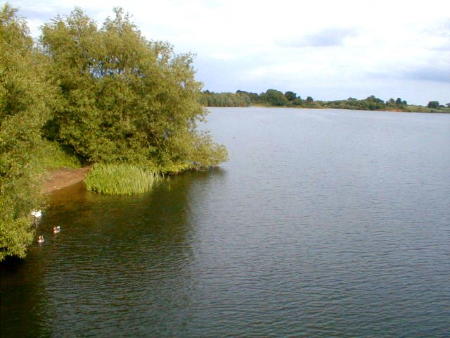
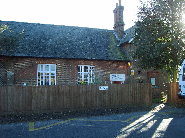
Images are sourced within 2km of 52.00754/1.0981644 or Grid Reference TM1238. Thanks to Geograph Open Source API. All images are credited.


Mungon's Grove is located at Grid Ref: TM1238 (Lat: 52.00754, Lng: 1.0981644)
Administrative County: Suffolk
District: Babergh
Police Authority: Suffolk
What 3 Words
///charted.pest.swordfish. Near Capel St Mary, Suffolk
Nearby Locations
Related Wikis

Bentley Church railway station
Bentley Church railway station was located in Suffolk, the village of Bentley. It was situated between the stations of Hadleigh and Manningtree, 1+1⁄4...
Blackbourn Hundred
Blackbourn was a hundred of Suffolk, consisting of 66,272 acres (26,819 ha). Blackbourn hundred was situated in the north-west of Suffolk. Its northern...
Samford Hundred
Samford was a hundred of Suffolk, consisting of 44,940 acres (181.9 km2). It was situated to the south and south west of Ipswich. The hundred was bounded...

Ipswich Hoard
There are two notable Ipswich Hoards (which is to say, ancient hoards found in Ipswich, the county town of Suffolk, England). The first was a hoard of...
Nearby Amenities
Located within 500m of 52.00754,1.0981644Have you been to Mungon's Grove?
Leave your review of Mungon's Grove below (or comments, questions and feedback).