Brick Ground Plantation
Wood, Forest in Norfolk South Norfolk
England
Brick Ground Plantation
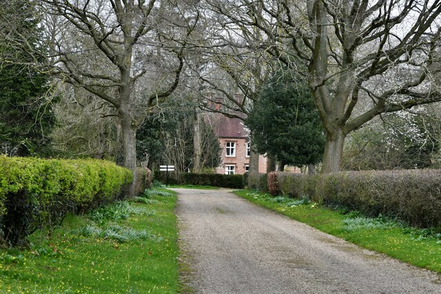
Brick Ground Plantation, located in Norfolk County, Virginia, is a historic wood and forest area renowned for its picturesque beauty and rich history. Spread across several acres, this plantation has become a popular destination for nature enthusiasts, history buffs, and those seeking a peaceful retreat.
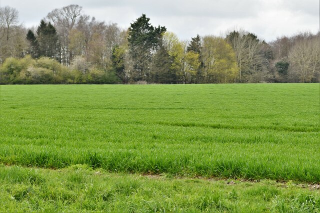
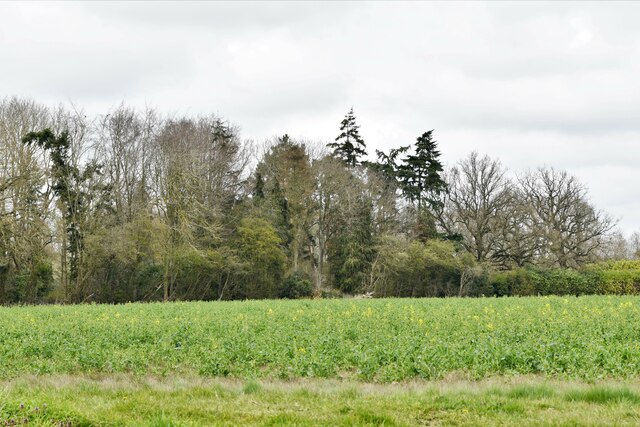
The main feature of Brick Ground Plantation is its dense forest, characterized by towering oak and pine trees that provide a serene and shaded environment. The forest is home to a diverse range of flora and fauna, including wildflowers, ferns, and various bird species, making it an ideal spot for birdwatching and nature photography.
In addition to its natural charm, Brick Ground Plantation is steeped in history. The plantation dates back to the 18th century and was once a thriving agricultural estate, primarily focusing on the cultivation of tobacco. The remnants of the old plantation house and other outbuildings can still be seen, offering visitors a glimpse into the past.
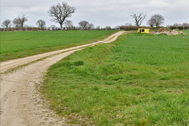
Nature trails meander through the plantation, allowing visitors to explore the woodlands and discover hidden gems along the way. These trails offer a perfect opportunity for hiking, jogging, or simply taking a leisurely stroll while immersing oneself in the peaceful surroundings.
Brick Ground Plantation is a place where history and nature coexist harmoniously, providing a unique and enriching experience for all who visit. Whether one seeks solitude in the forest, a chance to learn about the region's past, or simply wants to connect with nature, this Norfolk plantation offers a serene and captivating destination.
If you have any feedback on the listing, please let us know in the comments section below.
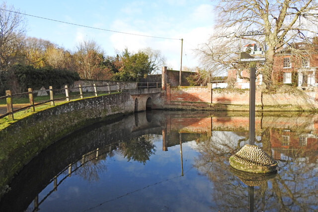
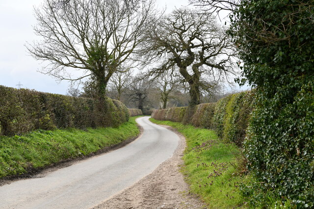
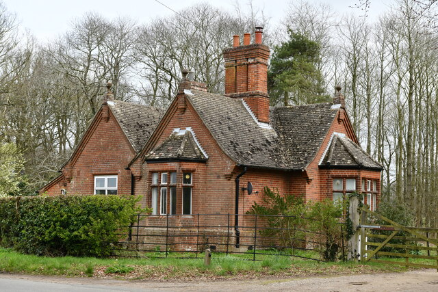
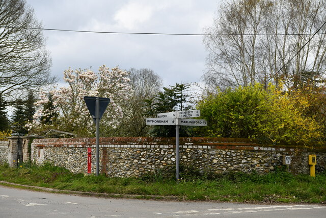
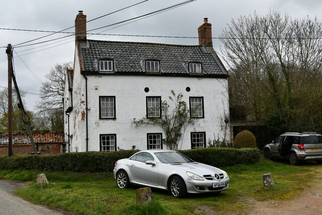
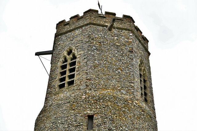
Brick Ground Plantation Images
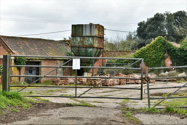
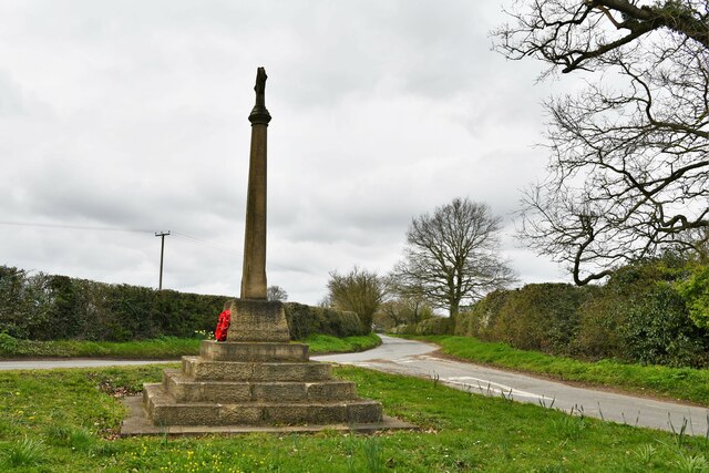
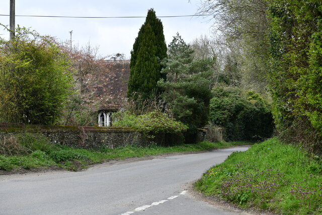
Images are sourced within 2km of 52.607982/1.1402406 or Grid Reference TG1205. Thanks to Geograph Open Source API. All images are credited.

Brick Ground Plantation is located at Grid Ref: TG1205 (Lat: 52.607982, Lng: 1.1402406)
Administrative County: Norfolk
District: South Norfolk
Police Authority: Norfolk
What 3 Words
///neckline.marathons.venue. Near Hethersett, Norfolk
Nearby Locations
Related Wikis
Great Melton
Great Melton is a civil parish in the English county of Norfolk. It covers an area of 10.24 km2 (3.95 sq mi) and had a population of 148 in 59 households...

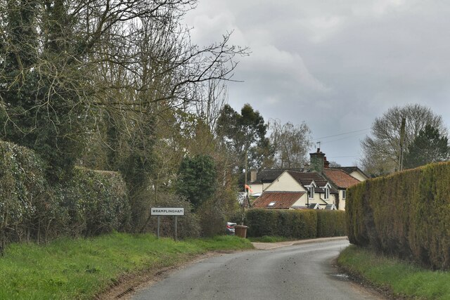
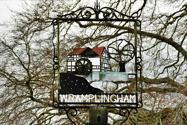
Wramplingham
Wramplingham is a village and civil parish in the English county of Norfolk. It is situated on the River Tiffey some 4 miles (6.4 km) north of Wymondham...

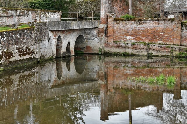
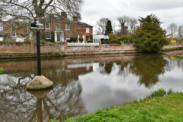
River Tiffey
The River Tiffey is a small river in Norfolk, England and a tributary of the River Yare. It rises near Hethel and passes through Wymondham before flowing...

Barford, Norfolk
Barford is a village and civil parish in the English county of Norfolk, situated some 4 miles (6 km) north of Wymondham and 8 miles (13 km) west of Norwich...
Nearby Amenities
Located within 500m of 52.607982,1.1402406Have you been to Brick Ground Plantation?
Leave your review of Brick Ground Plantation below (or comments, questions and feedback).