Convict's Wood
Wood, Forest in Kent Canterbury
England
Convict's Wood

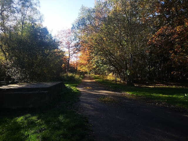
Convict's Wood, located in the county of Kent in southeastern England, is a picturesque and historically significant forest area. Spanning over a substantial area, Convict's Wood is known for its dense and diverse vegetation, making it a popular destination for nature enthusiasts and hikers alike.
The forest gets its name from its association with the transportation of convicts during the 18th and 19th centuries. It is believed that many of the trees in the wood were planted by these convicts, who were assigned the task of reforesting the area as a form of punishment. As a result, Convict's Wood holds a unique place in history, offering a glimpse into the penal system of the past.
Visitors to Convict's Wood can expect to encounter a rich variety of tree species, including oak, beech, and ash, among others. The forest is also home to diverse wildlife, such as deer, foxes, and numerous bird species. Walking trails wind through the wood, offering visitors the chance to immerse themselves in the natural beauty of the area.
In addition to its natural allure, Convict's Wood boasts several amenities for visitors' convenience and enjoyment. These include picnic areas, restrooms, and well-maintained footpaths. The forest is open to the public year-round, with specific opening hours varying according to the season.
Overall, Convict's Wood in Kent is a captivating woodland destination, providing visitors with a blend of natural beauty and historical significance. Whether one seeks a peaceful walk amidst nature or wishes to explore the remnants of the convict era, Convict's Wood offers a memorable experience for all.
If you have any feedback on the listing, please let us know in the comments section below.
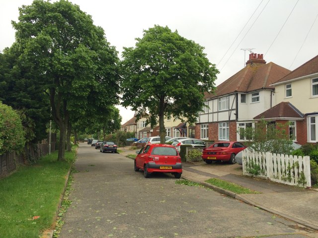
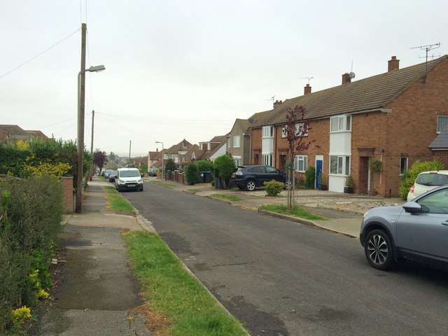
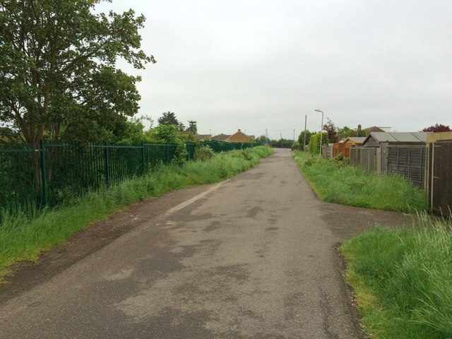
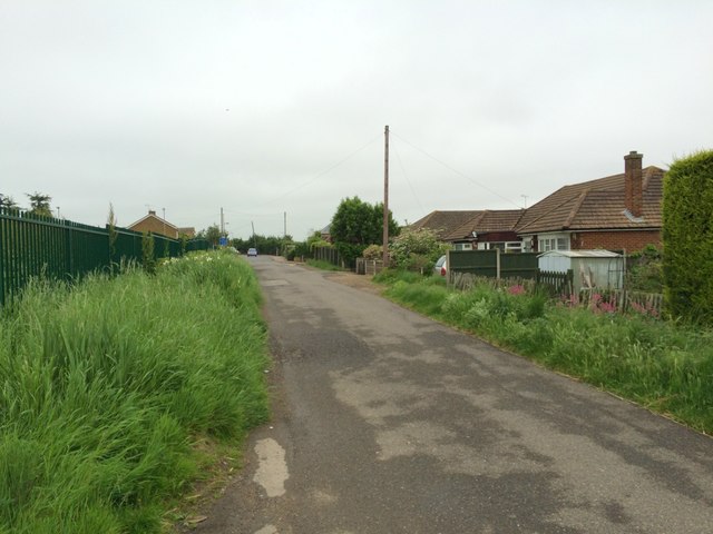
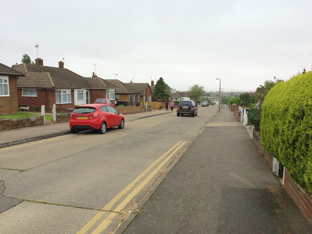
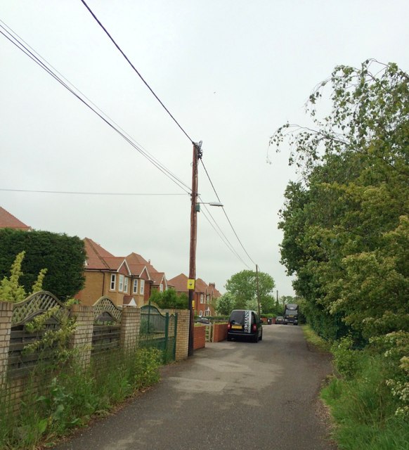
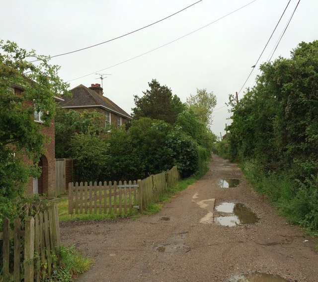
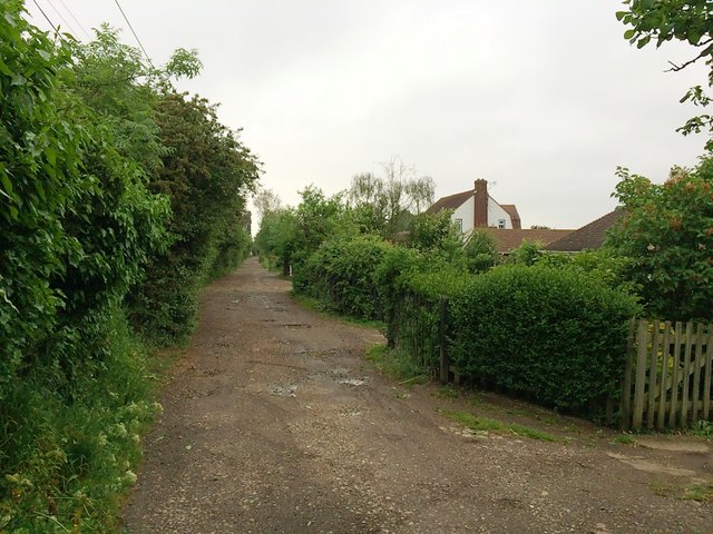
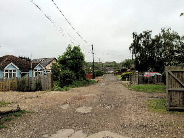
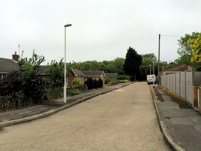
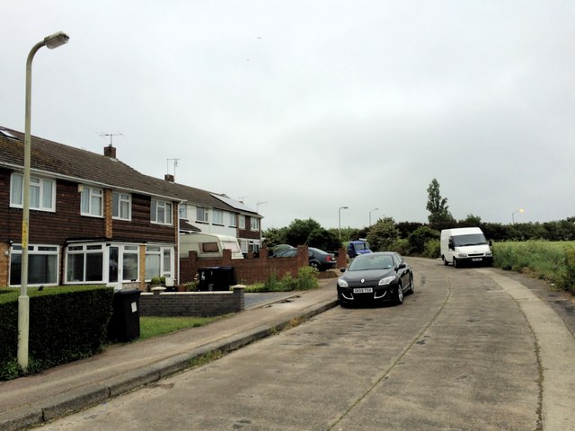
Convict's Wood Images
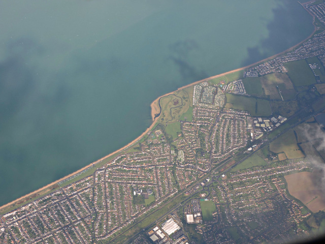
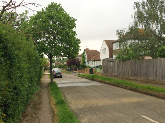
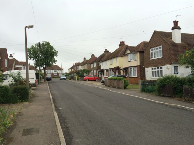
Images are sourced within 2km of 51.341209/1.0527346 or Grid Reference TR1264. Thanks to Geograph Open Source API. All images are credited.


Convict's Wood is located at Grid Ref: TR1264 (Lat: 51.341209, Lng: 1.0527346)
Administrative County: Kent
District: Canterbury
Police Authority: Kent
What 3 Words
///cubes.album.radar. Near Tankerton, Kent
Nearby Locations
Related Wikis

Radfall
Radfall is a hamlet between Whitstable and Canterbury, in southeast England. It lies between the Thanet Way and Thornden Wood, in the Canterbury district...

South Street Halt railway station
South Street Halt was a minor station on the Canterbury and Whitstable Railway at Tankerton, Kent. It opened in 1911 and closed in 1931. == History... ==
The Whitstable School
The Whitstable School is a coeducational secondary school and sixth form located in Whitstable, Kent, England. It was established in 1952 as the Sir William...

Chestfield
Chestfield is a village (and civil parish and with Swalecliffe a district council ward) in the Canterbury District of Kent, England. The parish is centred...
Nearby Amenities
Located within 500m of 51.341209,1.0527346Have you been to Convict's Wood?
Leave your review of Convict's Wood below (or comments, questions and feedback).