New Forest
Wood, Forest in Norfolk Broadland
England
New Forest
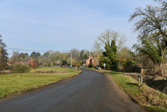
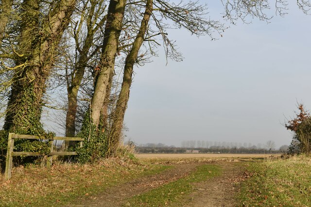
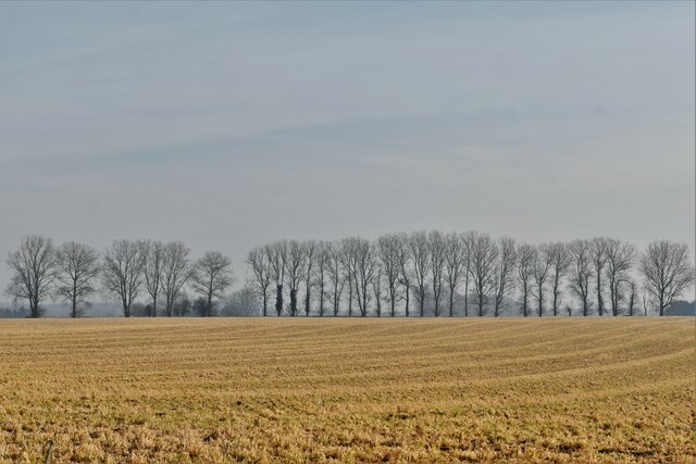
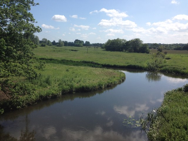
The New Forest, located in Norfolk, England, is a sprawling woodland area of great natural beauty and historical significance. Covering approximately 143 square miles, it is one of the largest remaining tracts of unenclosed pastureland, heathland, and forest in the country. The forest is characterized by its diverse landscape, which includes ancient woodlands, open heathlands, tranquil rivers, and picturesque villages.
The New Forest has a rich history that dates back thousands of years. It was originally established as a royal hunting ground by William the Conqueror in 1079, and its unique status as a royal forest has been protected by various charters and acts of Parliament over the centuries. The forest is managed by the Forestry Commission and the Verderers, who ensure the preservation of its natural habitats and the welfare of its famous inhabitants, such as the New Forest ponies, deer, and rare bird species.
Visitors to the New Forest can explore its numerous walking and cycling trails that wind through its ancient woodlands and open heathlands. The forest is also home to several picturesque villages, such as Lyndhurst and Brockenhurst, where visitors can find charming pubs, tearooms, and quaint shops.
In addition to its natural beauty, the New Forest offers a range of recreational activities, including horse riding, bird watching, fishing, and camping. It is also a popular destination for wildlife enthusiasts and nature photographers, who flock to the forest to capture its unique flora and fauna.
Overall, the New Forest in Norfolk is a haven for nature lovers, history enthusiasts, and those seeking a peaceful escape from the hustle and bustle of everyday life.
If you have any feedback on the listing, please let us know in the comments section below.
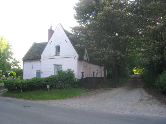
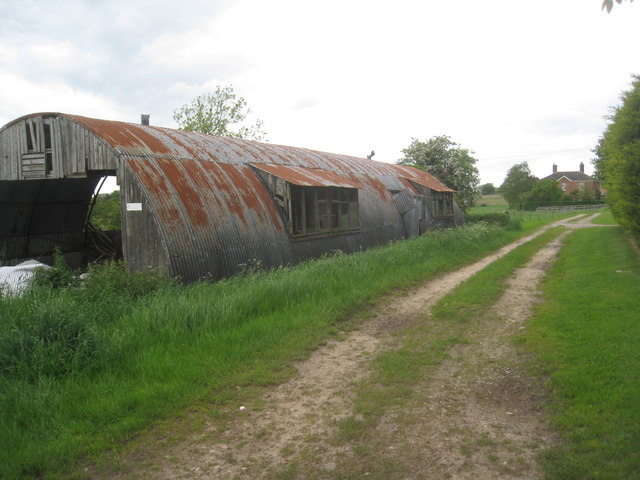
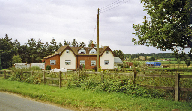
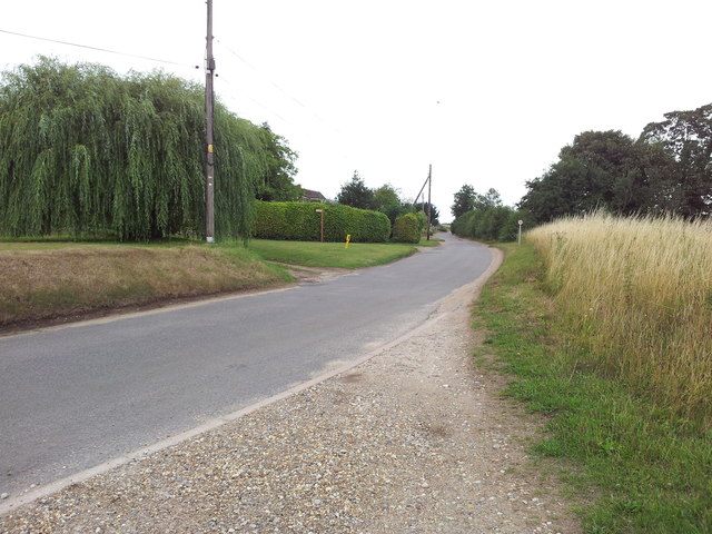
New Forest Images
Images are sourced within 2km of 52.730499/1.1486439 or Grid Reference TG1219. Thanks to Geograph Open Source API. All images are credited.


New Forest is located at Grid Ref: TG1219 (Lat: 52.730499, Lng: 1.1486439)
Administrative County: Norfolk
District: Broadland
Police Authority: Norfolk
What 3 Words
///gravitate.metro.generals. Near Cawston, Norfolk
Nearby Locations
Related Wikis

Alderford
Alderford is a village and civil parish in the English county of Norfolk, about ten miles (16 km) north-west of Norwich. The name 'Alderford' derives from...

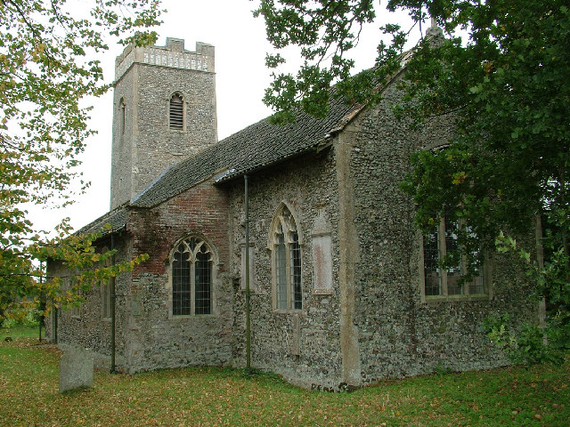
Swannington, Norfolk
Swannington is a village and civil parish in the English county of Norfolk, United Kingdom. The villages name means 'Farm/settlement connected with Swan...

Alderford Common
Alderford Common is a 17.5-hectare (43-acre) biological Site of Special Scientific Interest north-west of Norwich in Norfolk.The common has a thin layer...
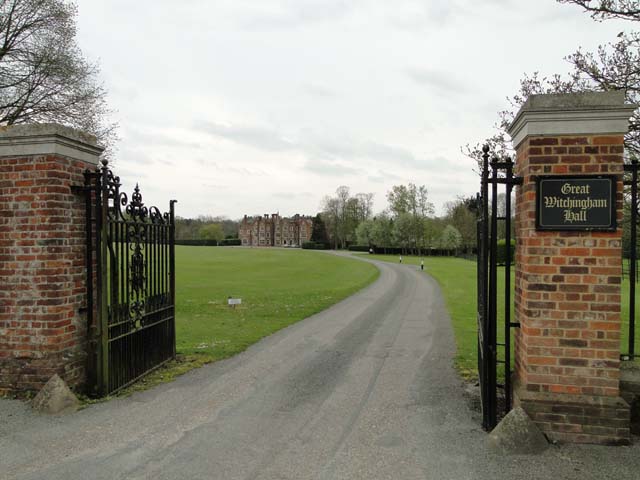
Little Witchingham
Little Witchingham is a village and civil parish in the English county of Norfolk. It covers an area of 3.01 km2 (1.16 sq mi) and had a population of 36...

Broadland (UK Parliament constituency)
Broadland is a Norfolk constituency, which has been represented in the House of Commons of the UK Parliament since the 2019 general election by Jerome...
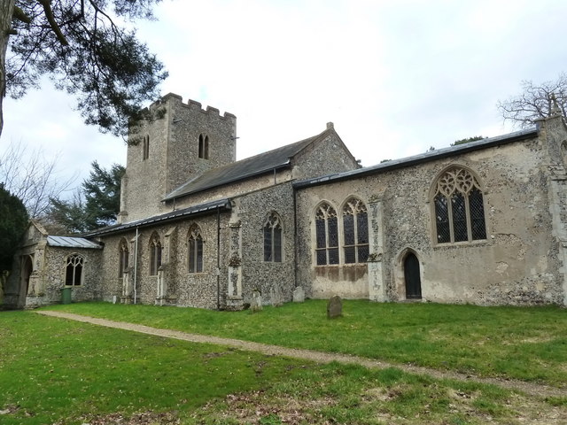
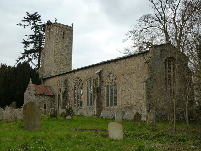
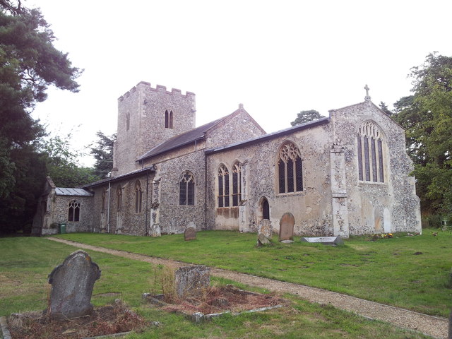
St Faith's Church, Little Witchingham
St Faith's Church is a redundant Anglican church in the village of Little Witchingham in Norfolk, England. It is recorded in the National Heritage List...

Guton
Guton was a settlement in the county of Norfolk in England mentioned in the Domesday Book as Guthetuna. It is described as being held by Osbert from Tihel...

Attlebridge railway station
Attlebridge railway station is a closed station in Norfolk, England. It served the small village of Attlebridge. It was constructed by the Midland and...
Nearby Amenities
Located within 500m of 52.730499,1.1486439Have you been to New Forest?
Leave your review of New Forest below (or comments, questions and feedback).