Cawston Plantation

Wood, Forest in Norfolk Broadland

England

Cawston Plantation

Heydon: Watery Lane
Heydon: Watery Lane Credit: Michael Garlick

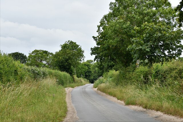
Cawston Plantation, located in Norfolk, England, is a picturesque woodland area known for its natural beauty and diverse flora and fauna. Situated near the village of Cawston, the plantation covers an extensive area, providing a tranquil retreat for visitors and residents alike.

The woodland of Cawston Plantation is predominantly composed of native tree species, including oak, beech, and birch, creating a dense and vibrant forest ecosystem. The mature trees provide a habitat for a wide range of wildlife, making the plantation a haven for nature enthusiasts and birdwatchers.

Traversing through the plantation, visitors will find well-maintained footpaths and trails, allowing for leisurely walks and exploration of the surrounding woodland. These paths offer opportunities to discover the diverse plant life that thrives in the area, such as bluebells, foxgloves, and wild garlic, which create a stunning display during the spring and summer months.

Cawston Plantation also features a small pond, attracting various aquatic species and serving as a watering hole for numerous animals. The tranquil atmosphere surrounding the pond invites visitors to sit and observe the wildlife that frequents the area.

Whether it is a leisurely stroll, a family picnic, or birdwatching, Cawston Plantation offers a peaceful retreat in the heart of Norfolk's countryside. Its natural beauty and wealth of wildlife make it a popular destination for nature lovers and a valuable asset to the local community.

If you have any feedback on the listing, please let us know in the comments section below.

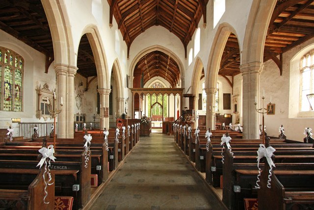
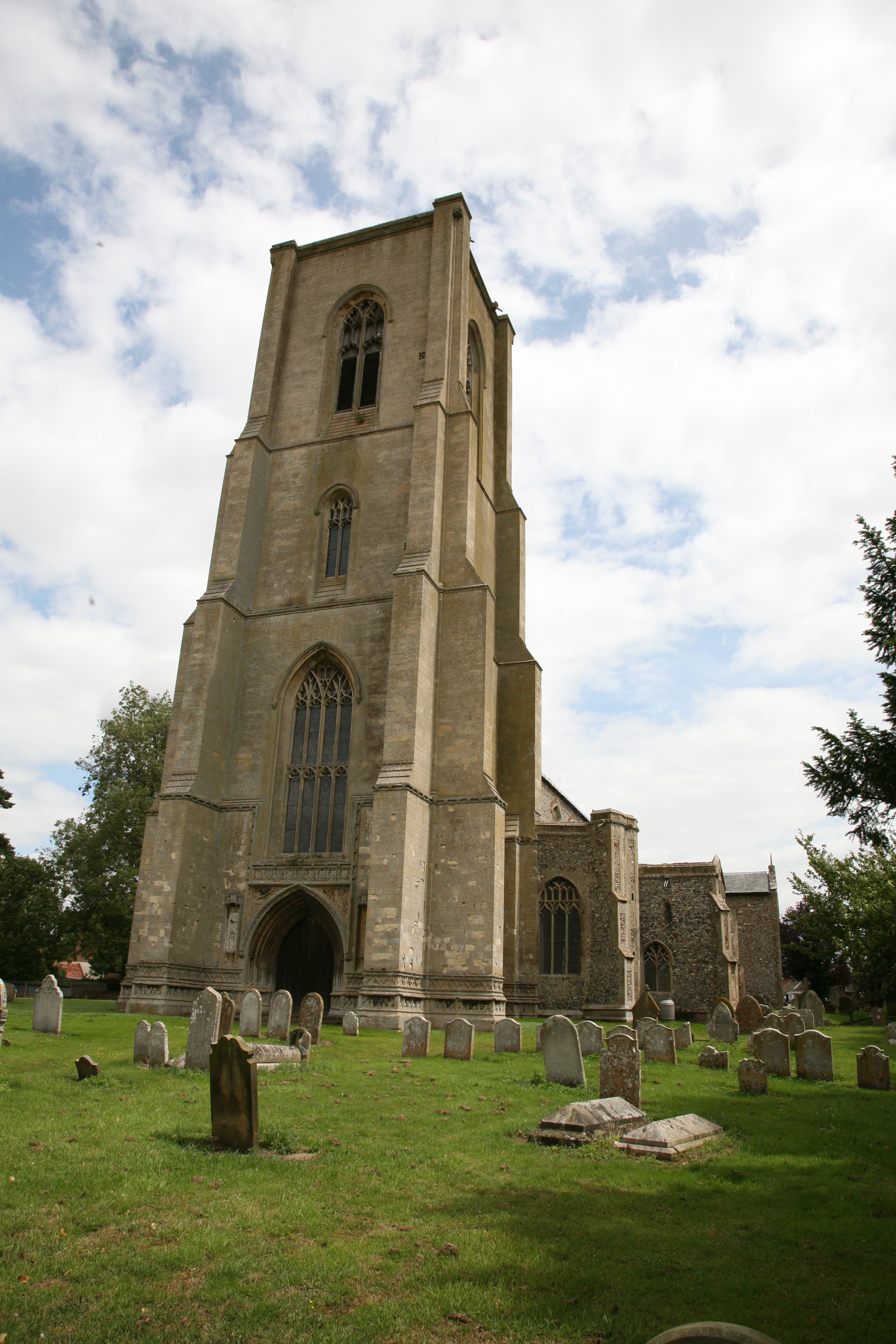
Cawston Plantation Images

Images are sourced within 2km of 52.791217/1.1528371 or Grid Reference TG1226. Thanks to Geograph Open Source API. All images are credited.

Heydon: Watery Lane
Heydon: Watery Lane
Old Milestone by the B1149, south west of Oulton Carved stone post by the B1149, in parish of Heydon (Broadland District), about 250yds South of lodge to Heydon Hall, on the verge backed by field, on West side of road. Holt diamond, erected by an unknown authority in the 18th century. 

Inscription reads:-
: 8 / MILES / TO / HOLT : : HEYDON : : 13 / MILES / TO / NORWICH : 
Carved benchmark on top noted in 1984, but removed by damage.

Norfolk HER listed.
NHER Number: 56454 <span class="nowrap"><a title="https://www.heritagegateway.org.uk/Gateway/Results_Single.aspx?uid=MNF62864&resourceID=1002" rel="nofollow ugc noopener" href="https://www.heritagegateway.org.uk/Gateway/Results_Single.aspx?uid=MNF62864&resourceID=1002">Link</a><img style="margin-left:2px;" alt="External link" title="External link - shift click to open in new window" src="https://s1.geograph.org.uk/img/external.png" width="10" height="10"/></span>

Milestone Society National ID: NO_NH13
Old Milestone by the B1149, south west of Oulton
Carved stone post by the B1149, in parish of Heydon (Broadland District), about 250yds South of lodge to Heydon Hall, on the verge backed by field, on West side of road. Holt diamond, erected by an unknown authority in the 18th century. Inscription reads:- : 8 / MILES / TO / HOLT : : HEYDON : : 13 / MILES / TO / NORWICH : Carved benchmark on top noted in 1984, but removed by damage. Norfolk HER listed. NHER Number: 56454 LinkExternal link Milestone Society National ID: NO_NH13
Old Milestone by the B1149, Bluestone Plantation, Cawston Parish Carved stone post by the B1149, in parish of CAWSTON (BROADLAND District), 3yds North of junction with road to Heydon, on bank behind ditch, on East side of road. Holt diamond, erected by an unknown authority in the 19th century. 

Inscription reads:- : 12 / MILES / TO / NORWICH : : CAWSTON : : 9 / MILES / TO / HOLT : 

Milestone Society National ID: NO_NH12.
Old Milestone by the B1149, Bluestone Plantation, Cawston Parish
Carved stone post by the B1149, in parish of CAWSTON (BROADLAND District), 3yds North of junction with road to Heydon, on bank behind ditch, on East side of road. Holt diamond, erected by an unknown authority in the 19th century. Inscription reads:- : 12 / MILES / TO / NORWICH : : CAWSTON : : 9 / MILES / TO / HOLT : Milestone Society National ID: NO_NH12.
Crossroads on Heydon Road <span class="nowrap"><a title="https://en.wikipedia.org/wiki/Heydon,_Norfolk" rel="nofollow ugc noopener" href="https://en.wikipedia.org/wiki/Heydon,_Norfolk">Link</a><img style="margin-left:2px;" alt="External link" title="External link - shift click to open in new window" src="https://s1.geograph.org.uk/img/external.png" width="10" height="10"/></span>
Crossroads on Heydon Road
St Peter & St Paul, Heydon
St Peter & St Paul, Heydon - West doorway
St Peter & St Paul, Heydon
St Peter & St Paul, Heydon - North doorway
St Peter & St Paul, Heydon
St Peter & St Paul, Heydon - Monuments
View from churchyard
St Peter & St Paul, Heydon
St Peter & St Paul, Heydon - East end
St Peter & St Paul, Heydon - Chancel
Show me another place!

Cawston Plantation is located at Grid Ref: TG1226 (Lat: 52.791217, Lng: 1.1528371)

Administrative County: Norfolk

District: Broadland

Police Authority: Norfolk

What 3 Words

///lamenting.gossiped.surnames. Near Cawston, Norfolk

Related Wikis

Bluestone railway station

Bluestone railway station was a station in Norfolk, England. It was on the Midland and Great Northern Joint Railway between Corpusty and Aylsham North...
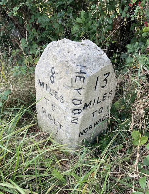
Heydon, Norfolk

Heydon is a village and civil parish in Norfolk, England. It is located 3 miles (4.8 km) north of the market town of Reepham. The village can be accessed...
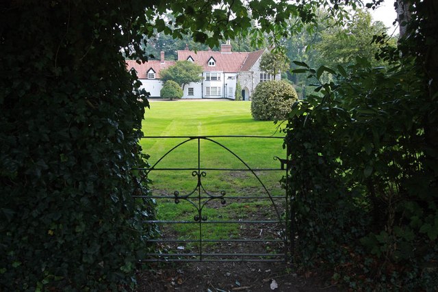
Salle Park

Salle Park is a country house in Norfolk, England, near the village of Salle and about 10 miles (16 km) north-west of Norwich. The house is a Grade II...

Cawston railway station

Cawston was a railway station in Cawston, Norfolk. It was part of the Great Eastern Railway network for a large portion of its existence. It was on the...

RAF Oulton

Royal Air Force Oulton or more simply RAF Oulton is a former Royal Air Force satellite station located 3 miles (4.8 km) west of Aylsham, Norfolk and 12...

Salle, Norfolk

Salle ( SAWL) is a small village and civil parish in the Broadland district, in the county of Norfolk, England. 1.5 miles (2.4 km) to the south is the...

Oulton, Norfolk

Oulton is a village and civil parish in Norfolk, England. Nearby towns are Reepham and Aylsham. The parish covers an area of 10.58 km2 (4.08 sq mi) and...
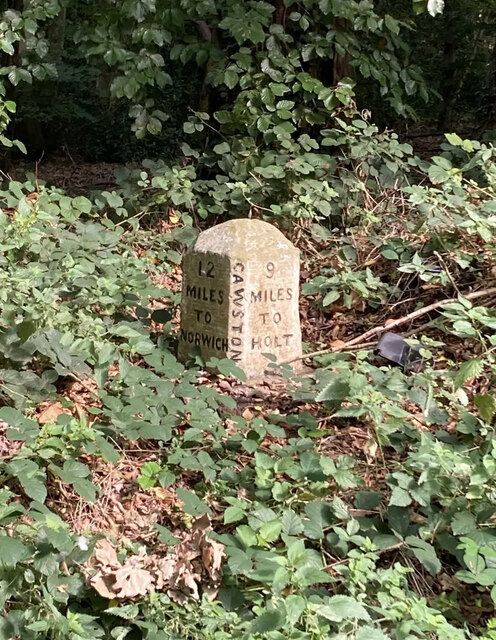
Cawston, Norfolk

Cawston is a village and civil parish in the Broadland district of Norfolk, England. The village is approximately 11 miles (18 km) north of Norwich on...

Nearby Amenities

Located within 500m of 52.791217,1.1528371
Power: pole
Lat/Long: 52.7871995/1.1507225
Power: pole
Lat/Long: 52.78823/1.1508659
Power: pole
Lat/Long: 52.7893224/1.1510504
Power: pole
Lat/Long: 52.7903653/1.151188
Power: pole
Lat/Long: 52.7912311/1.1512992
Power: pole
Lat/Long: 52.7920331/1.1514008
Power: pole
Lat/Long: 52.7928118/1.1521648
Power: portal
Lat/Long: 52.7935724/1.1529106
Give Way
Lat/Long: 52.7874448/1.1534292
Give Way
Lat/Long: 52.7873944/1.1533914
Give Way
Lat/Long: 52.7876053/1.1533579
Give Way
Lat/Long: 52.7876053/1.153482
Give Way
Lat/Long: 52.7872233/1.1534652
Dog Corner
Place: isolated_dwelling
Lat/Long: 52.7937259/1.1507357
Information: guidepost
Tourism: information
Lat/Long: 52.7936396/1.1507916
Information: guidepost
Tourism: information
Lat/Long: 52.7875481/1.1534109
Power: pole
Source: bing
Lat/Long: 52.794798/1.1530542
The data included in this document is from www.openstreetmap.org. The data is made available under ODbL.

Have you been to Cawston Plantation?

Leave your review of Cawston Plantation below (or comments, questions and feedback).