Church Lane Belt

Wood, Forest in Norfolk Broadland

England

Church Lane Belt

Swannington: School Road
Swannington: School Road Credit: Michael Garlick

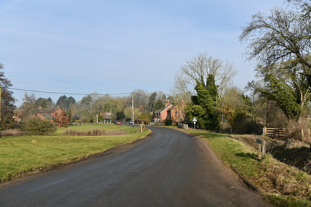
Church Lane Belt is a picturesque woodland area located in Norfolk, England. Situated near the rural village of Wood, the belt is a popular destination for nature enthusiasts and those seeking tranquility amidst nature. The woodland covers an area of approximately 20 acres, offering visitors a diverse and rich natural environment to explore.

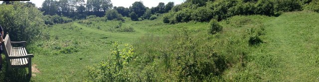
The belt is predominantly composed of broadleaf trees, including oak, beech, and ash, which provide a dense canopy that filters sunlight, creating a cool and shaded atmosphere. The forest floor is abundant with ferns, bluebells, and various wildflowers, adding vibrant colors to the landscape during spring and summer.

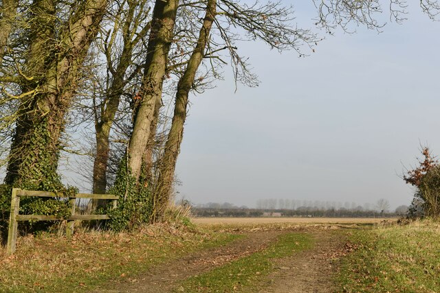
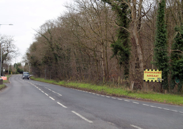
The woodland is intersected by Church Lane, a narrow and winding road that lends its name to the area. The lane is framed by towering trees, forming an enchanting pathway through the belt. Along the lane, there are several designated walking trails and footpaths, allowing visitors to fully immerse themselves in the beauty and serenity of the surroundings.

Church Lane Belt is also home to a diverse array of wildlife. Birdwatchers can spot various species, including woodpeckers, owls, and thrushes, while nature enthusiasts may encounter small mammals such as rabbits, foxes, and bats. The woodland provides a vital habitat for these creatures, offering a peaceful sanctuary away from the disturbances of urban life.

Overall, Church Lane Belt in Norfolk is a captivating woodland area characterized by its ancient trees, lush vegetation, and abundant wildlife. It presents a perfect opportunity for visitors to escape the hustle and bustle of everyday life and enjoy the tranquility of nature.

If you have any feedback on the listing, please let us know in the comments section below.

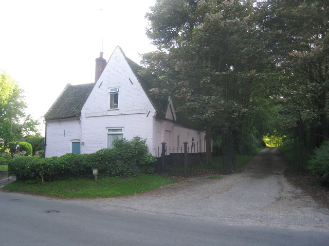
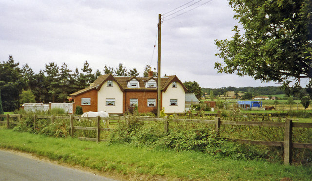
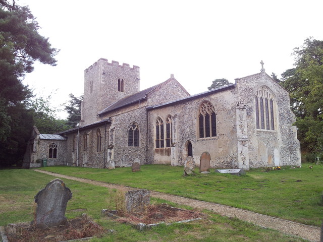
Church Lane Belt Images

Images are sourced within 2km of 52.72905/1.1401845 or Grid Reference TG1219. Thanks to Geograph Open Source API. All images are credited.

Swannington: School Road
Swannington: Village sign
Swannington: Farm track
Swannington: Farmland
Cottages by the entrance to Manor Farm. Swannington Now just one cottage.
Cottages by the entrance to Manor Farm. Swannington
Now just one cottage.
Site -?remains - of Attlebridge station, 1993 View SW on A1067 road. The station had been on the ex-M&GN Joint line, Melton Constable (to right) - Norwich (City) line, which closed for passengers with the rest of the system from 2/3/59, but the section to Norwich City was retained for goods by means of a connection off the ex-GER Wroxham - County School line by the Themelthorpe Loop from 12/9/60 and lasted until 13/7/64. It is not obvious whether the houses had been connected with the railway.
Site -?remains - of Attlebridge station, 1993
View SW on A1067 road. The station had been on the ex-M&GN Joint line, Melton Constable (to right) - Norwich (City) line, which closed for passengers with the rest of the system from 2/3/59, but the section to Norwich City was retained for goods by means of a connection off the ex-GER Wroxham - County School line by the Themelthorpe Loop from 12/9/60 and lasted until 13/7/64. It is not obvious whether the houses had been connected with the railway.
Norwich Road
Norwich Road
St. Margaret's church and graveyard, Swannington
War memorial inside St. Margaret's church, Swannington
A1067 Norwich Road Heading south east.
A1067 Norwich Road
Heading south east.
A1067 into Lenwade Dinosaurs ahead!
A1067 into Lenwade
Dinosaurs ahead!
Great Witchingham Hall From the entrance gates
Great Witchingham Hall
From the entrance gates
Great Witchingham Hall Currently used as offices for Bernard Matthews Ltd.
Great Witchingham Hall
Currently used as offices for Bernard Matthews Ltd.
River Wensum from The Marriot's Way
Amazing hedge -  Swannington Manor This was a wonderful hedge at the back of this lovely house near Hengrave
Amazing hedge - Swannington Manor
This was a wonderful hedge at the back of this lovely house near Hengrave
Bridge over stream near Swannington Manor Looking back towards Swannington Manor
Bridge over stream near Swannington Manor
Looking back towards Swannington Manor
Alderford Common panorama Old gravel pits
Alderford Common panorama
Old gravel pits
Show me another place!

Church Lane Belt is located at Grid Ref: TG1219 (Lat: 52.72905, Lng: 1.1401845)

Administrative County: Norfolk

District: Broadland

Police Authority: Norfolk

What 3 Words

///snooping.difficult.crunches. Near Reepham, Norfolk

Related Wikis

Alderford

Alderford is a village and civil parish in the English county of Norfolk, about ten miles (16 km) north-west of Norwich. The name 'Alderford' derives from...

St Faith's Church, Little Witchingham

St Faith's Church is a redundant Anglican church in the village of Little Witchingham in Norfolk, England. It is recorded in the National Heritage List...

Alderford Common

Alderford Common is a 17.5-hectare (43-acre) biological Site of Special Scientific Interest north-west of Norwich in Norfolk. The common has a thin layer...

Swannington, Norfolk

Swannington is a village and civil parish in the English county of Norfolk, United Kingdom. The villages name means 'Farm/settlement connected with Swan...

Nearby Amenities

Located within 500m of 52.72905,1.1401845
Power: tower
Ref: PS55
Lat/Long: 52.7271921/1.1418432
Power: tower
Ref: PS56
Lat/Long: 52.7294889/1.1430663
Power: tower
Ref: PS57
Lat/Long: 52.7321397/1.1445147
Crossing
Crossing: uncontrolled
Lat/Long: 52.726507/1.1342509
Alderford
Place: hamlet
Source: OS_OpenData_StreetView
Wikidata: Q1009510
Wikipedia: en:Alderford
Lat/Long: 52.7254052/1.1431065
Crossing
Crossing: uncontrolled
Lat/Long: 52.7266911/1.1339485
Power: pole
Lat/Long: 52.7319772/1.1346565
Power: pole
Lat/Long: 52.7323833/1.1360486
Power: pole
Lat/Long: 52.7328526/1.1376096
Power: pole
Lat/Long: 52.7333171/1.1391787
The data included in this document is from www.openstreetmap.org. The data is made available under ODbL.

Have you been to Church Lane Belt?

Leave your review of Church Lane Belt below (or comments, questions and feedback).